Fish Passage Site 20401355
Coordinates (dec. deg.): 61.57862°, -149.28677°
Legal Description: S017N001E09
Region: South Central
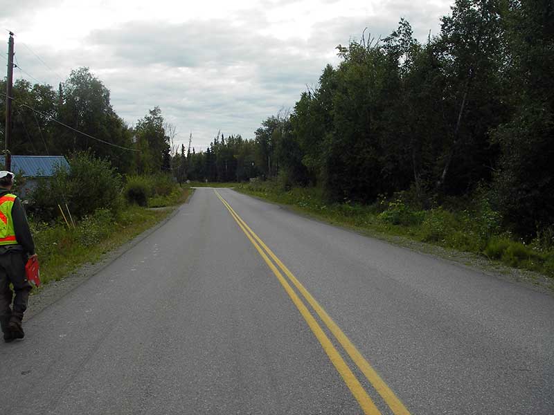
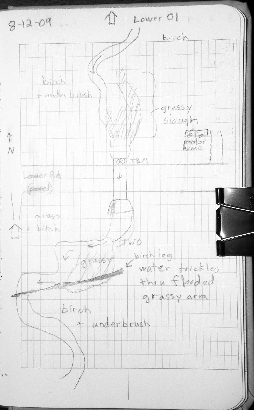
Road Name: Lower Road
Datum: NAD83
Quad Name / ITM: Anchorage C-7
AWC Stream #: 247-50-10260-2019-3041
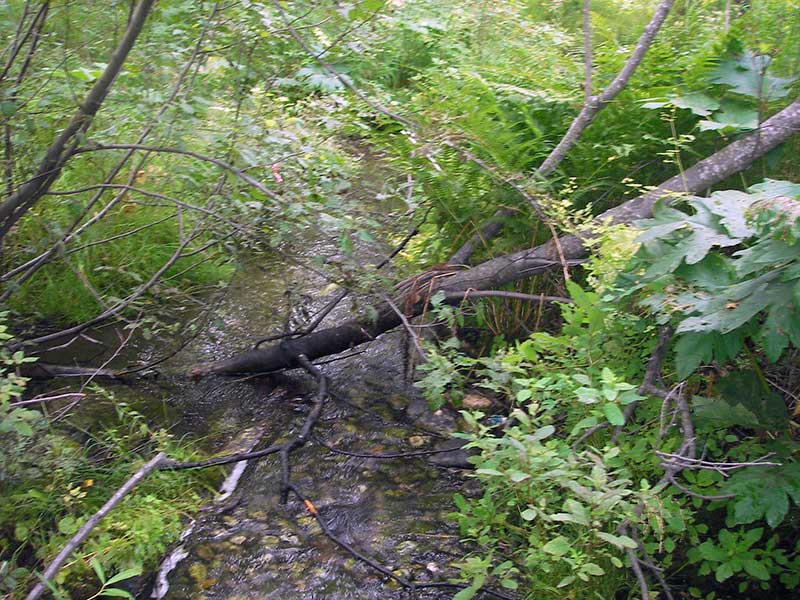
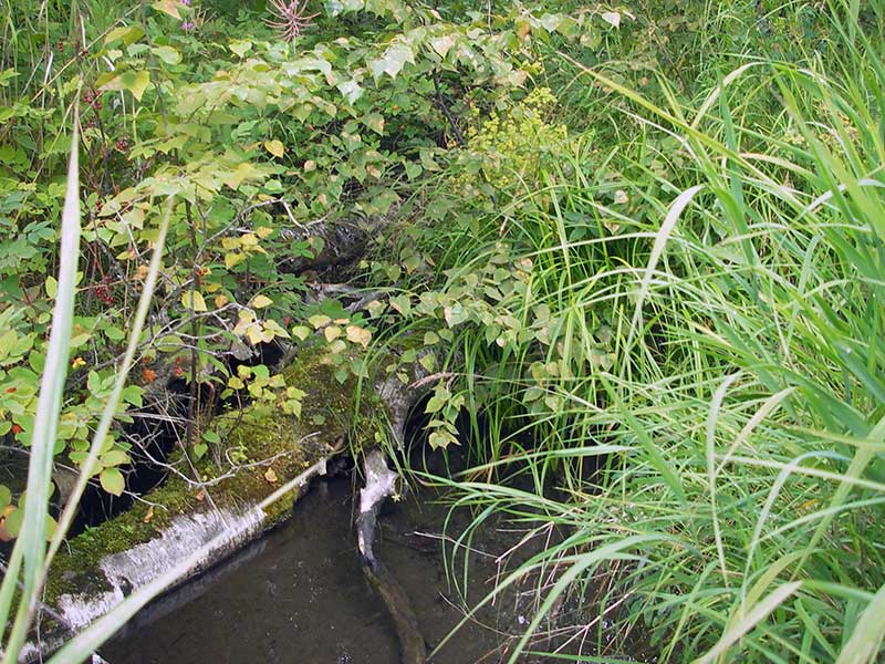
Stream Name: Wasilla Creek tributary
Elevation:
Site Comments: Lower Road - near Hyer Road
arrow to the right of the survey date below to choose a different report for this site.
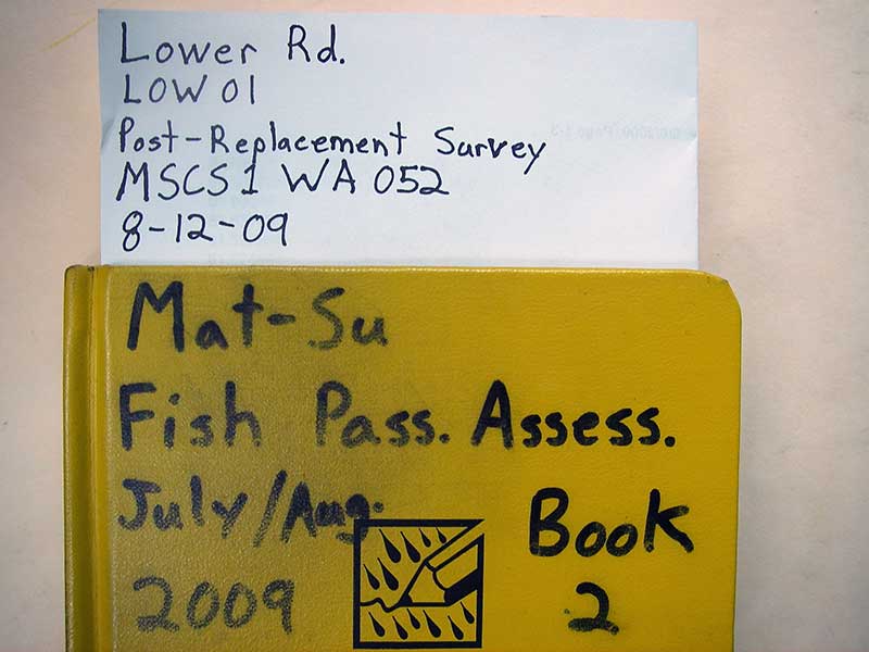
Survey MSB09-LOW01
Project Supervisor: Gillian O'Doherty, ADFG
Observers: Heidi Zimmer, Ben Histand
Overall Fish Passage Rating:
Tidal: No
Backwatered: No
Step Pools: No
Construction Year: 2003
Site Observations:
- Culvert gradient gray
- Compound gradient in pipe
Comments: Post-replacement survey of MSCS1WA52; Adult salmon obs d/s; u/s gradient = 0.53%; prob not barrier, almost embedded
Culvert Measurements
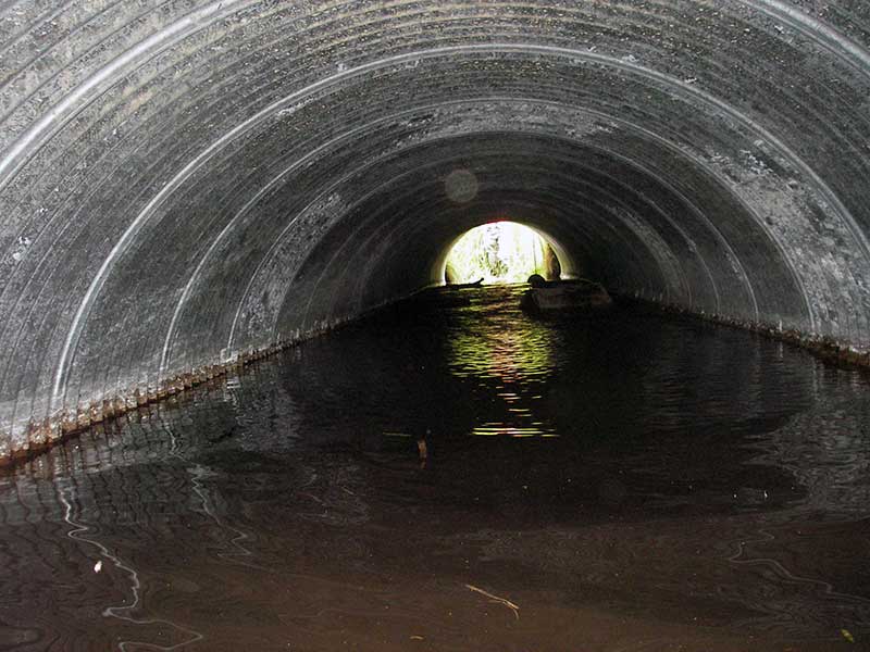
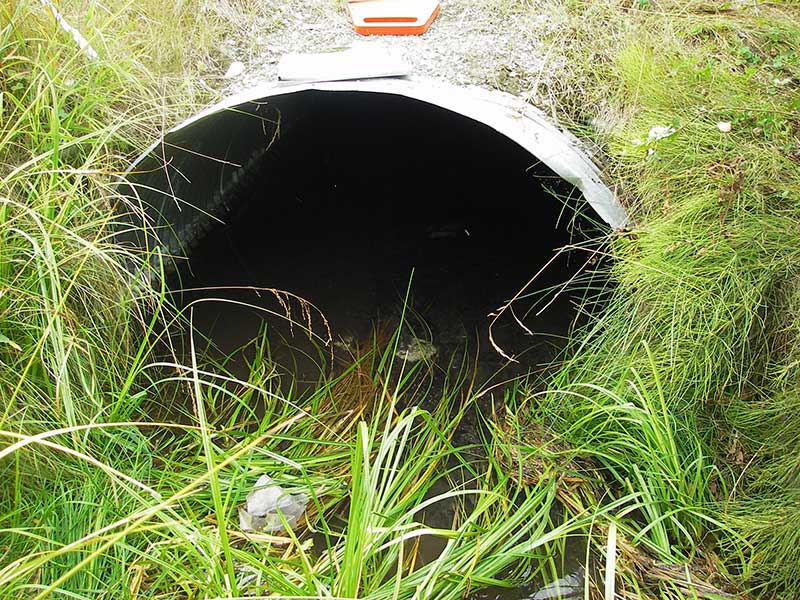
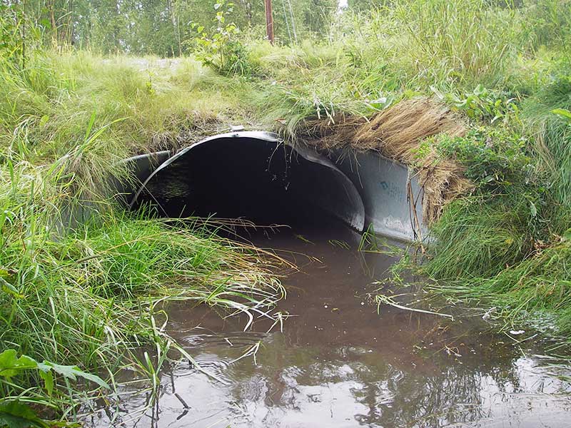
| ID: 1 | Structure Type: Pipe-arch (Corrugated steel) | Fish Passage Rating: | |||||||||||||||||||||||||||||||||||||||||
|
|
|
|||||||||||||||||||||||||||||||||||||||||
Culvert Observations:
|
|||||||||||||||||||||||||||||||||||||||||||
Stream Measurements
|
|
| Stream Width Type | Distance From Crossing (ft) |
Stream Width (ft) |
|---|---|---|
| Upstream ordinary high water | 45.0 | 6.00 |
| Upstream ordinary high water | 63.0 | 4.50 |
| Upstream ordinary high water | 100.0 | 8.00 |
Elevations
| Locator ID | Culvert Number |
River Distance (ft)1 |
Distance From Crossing (ft)2 |
Relative Elevation (ft) |
|---|---|---|---|---|
| Road Elev | 1 | 101.89 | ||
| D/S Grade Ctrl (Thalweg) | 1 | 0.00 | 42.0 | 96.13 |
| D/S Water Surface Elev (ws @ gp) | 1 | 0.00 | 42.0 | 96.29 |
| D/S Water Surface Elev (ws @ TWC) | 1 | 28.80 | 13.2 | 96.98 |
| D/S Tailcrest or 1st Thalweg | 1 | 28.80 | 13.2 | 96.69 |
| D/S Thalweg (end of outlet apron) | 1 | 37.30 | 4.7 | 96.01 |
| Outlet Pool Water Elev | 1 | 42.00 | 96.99 | |
| Outlet Invert (on substrate) | 1 | 42.00 | 0.0 | 96.17 |
| U/S Headwater | 1 | 88.20 | 97.34 | |
| Inlet Culvert Invert (on substrate) | 1 | 88.20 | 0.0 | 96.70 |
| U/S Thalweg (end of inlet apron) | 1 | 92.90 | 4.7 | 96.42 |
| U/S Grade Ctrl (Thalweg) | 1 | 158.20 | 70.0 | 97.46 |
| U/S Water Surface Elev | 1 | 158.20 | 70.0 | 97.74 |
| U/S Water Surface Elev (u/s ws) | 1 | 206.20 | 118.0 | 97.97 |
Notes:
- River distance is measured continuously throughout the survey reach along the thalweg of the stream.
- Measured from each end of the crossing along the thalweg of the stream.
Fish Sampling Efforts
| Gear Type: Minnow Trap (A) | Trap Duration(h): 1.25 | |
| Comments: 80ft d/s | ||
| Gear Type: Minnow Trap (B) | Trap Duration(h): 1.25 | |
| Comments: no fish caught; 20ft u/s | ||
| Gear Type: Visual Observation, Ground (C) | ||
| Comments: Visual observation of adult Sockey salmon downstream from culvert. | ||
Fish Observations
| Species: coho salmon | Life History: Resident (Suspected Spawning) | ||
| Total Fish Observed: 13 | Fish Measured: | Fork Lengths (mm) Min: Max: Mean: | |
| Collected/Observed by Gear Type: Downstream Minnow Trap (13) | |||
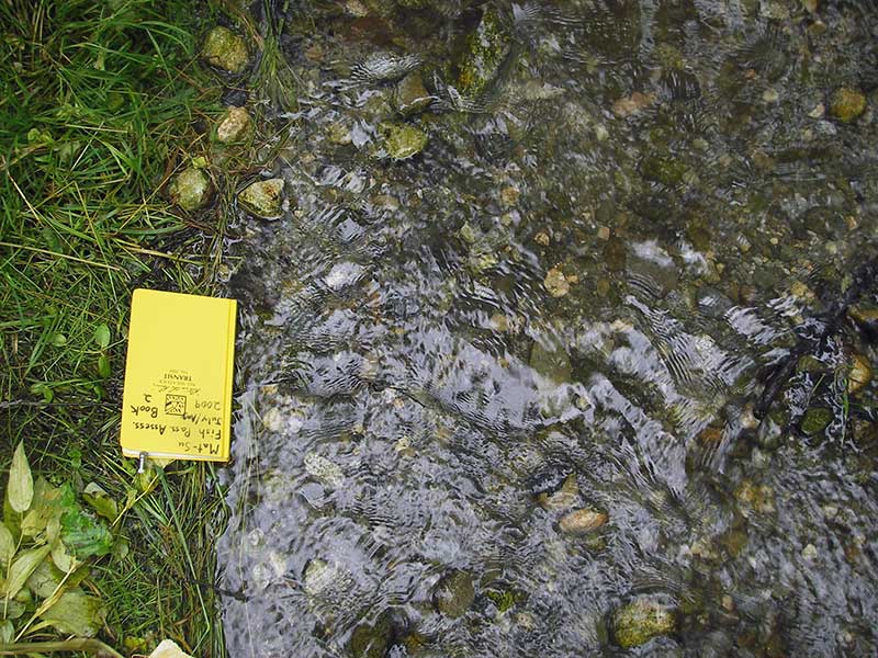
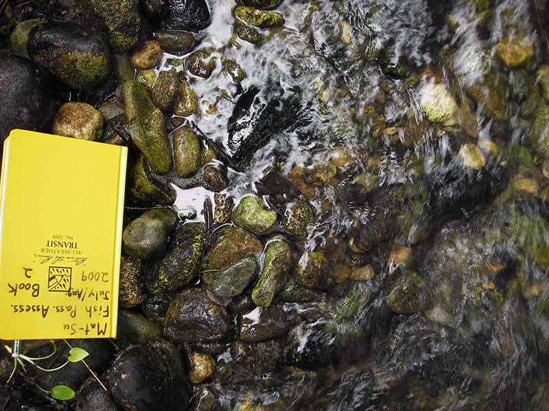
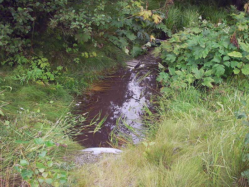
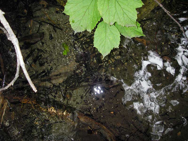
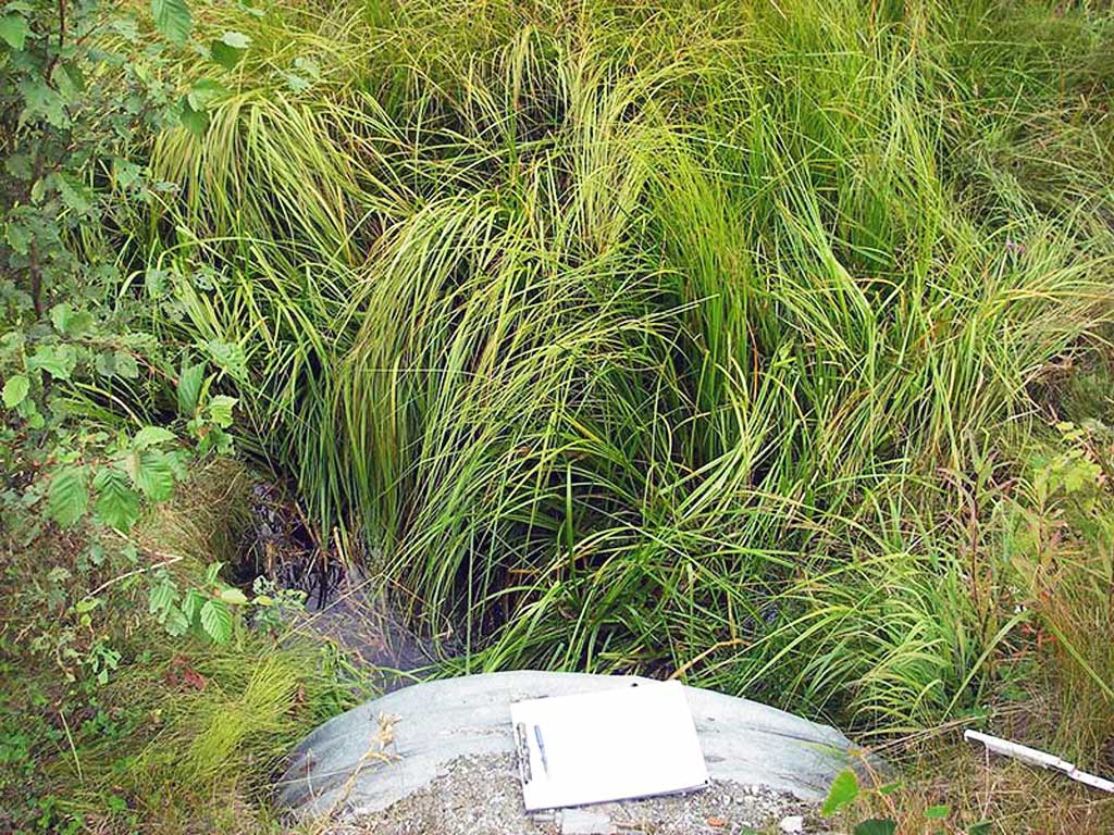
Photos
Questions or comments about this report can be directed to dfg.dsf.webmaster@alaska.gov