Fish Passage Site 20401354
Coordinates (dec. deg.): 61.57931°, -149.29241°
Legal Description: S017N001E09
Region: South Central
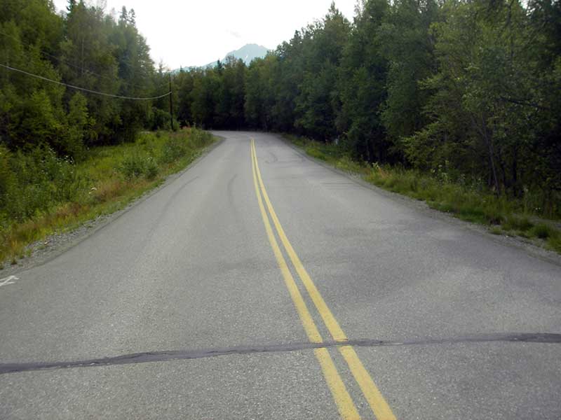
Road Name: Lower Road
Datum: NAD83
Quad Name / ITM: Anchorage C-7
AWC Stream #: 247-50-10260-2019-3041-4013
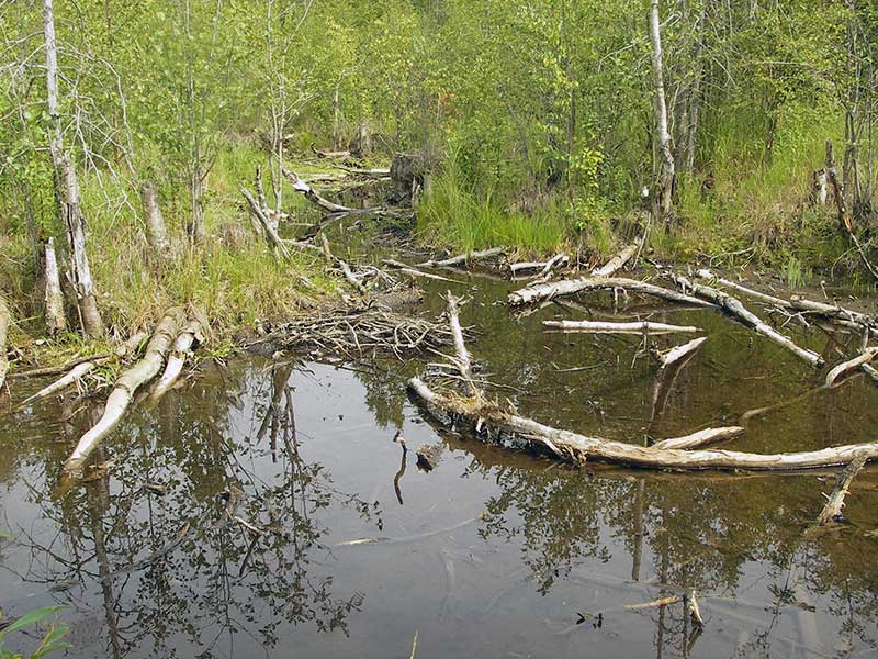
Stream Name: Wasilla Creek tributary
Elevation:
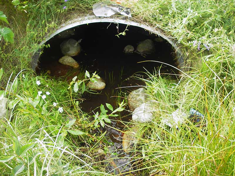
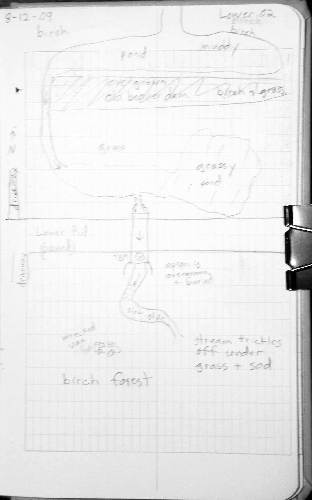
Site Comments: Lower Road - near Hyer Road. Stream joins with other tributary, then goes under Hyer Road.
arrow to the right of the survey date below to choose a different report for this site.
Survey MSB09-LOW02
Project Supervisor: Gillian O'Doherty, ADFG
Observers: Heidi Zimmer, Ben Histand
Overall Fish Passage Rating:
Tidal: No
Backwatered: No
Step Pools: No
Construction Year: 2003
Site Observations:
- Culvert gradient gray
- Compound gradient in pipe
Comments: Post-replacement survey of MSCS1WA051.
Culvert Measurements
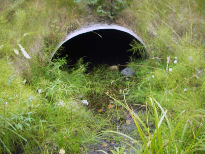
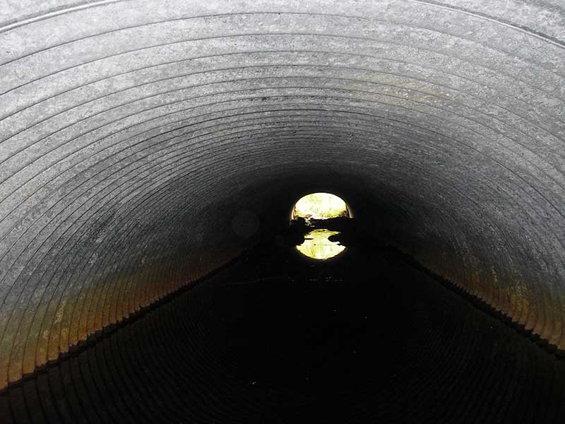
| ID: 1 | Structure Type: Pipe-arch (Corrugated steel) | Fish Passage Rating: | |||||||||||||||||||||||||||||||||||||||||
|
|
|
|||||||||||||||||||||||||||||||||||||||||
Culvert Observations:
|
|||||||||||||||||||||||||||||||||||||||||||
Stream Measurements
|
|
No stream width data available.
Elevations
| Locator ID | Culvert Number |
River Distance (ft)1 |
Distance From Crossing (ft)2 |
Relative Elevation (ft) |
|---|---|---|---|---|
| Road Elev | 1 | 106.11 | ||
| D/S Water Surface Elev (d/s end of continuous water) | 1 | 0.00 | 40.0 | 97.70 |
| D/S Thalweg (probably end of buried apron) | 1 | 36.50 | 3.5 | 97.90 |
| Outlet Invert (on subs; also TC of pool just inside pipe) | 1 | 40.00 | 0.0 | 97.96 |
| Outlet Pool Water Elev | 1 | 40.00 | 98.08 | |
| Inlet Culvert Invert (on substrate) | 1 | 88.00 | 0.0 | 98.33 |
| U/S Headwater | 1 | 88.00 | 98.53 | |
| U/S Grade Ctrl (Thalweg) (TC of u/s pool) | 1 | 98.00 | 10.0 | 98.64 |
| U/S Water Surface Elev (ws @ gp) | 1 | 98.00 | 10.0 | 98.84 |
Notes:
- River distance is measured continuously throughout the survey reach along the thalweg of the stream.
- Measured from each end of the crossing along the thalweg of the stream.
Fish Sampling Efforts
No fish sampling occurred during this survey.
Fish Observations
No fish observations occurred during this survey.
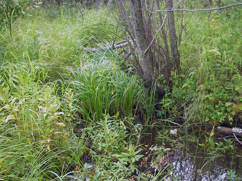
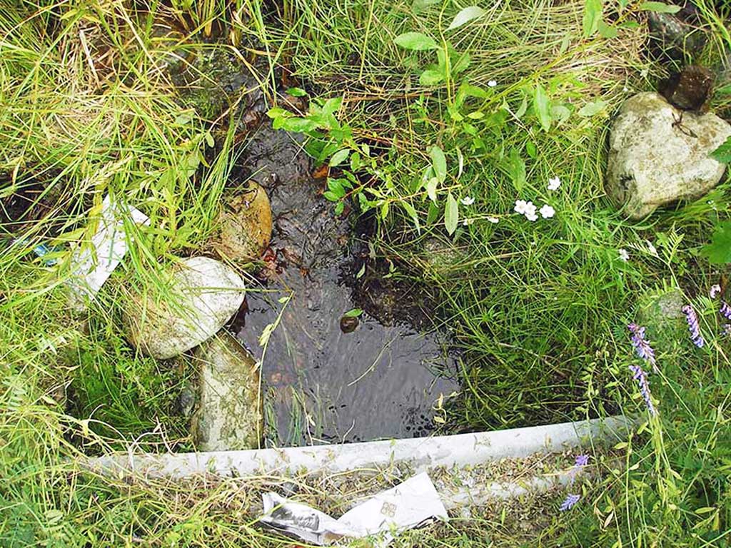
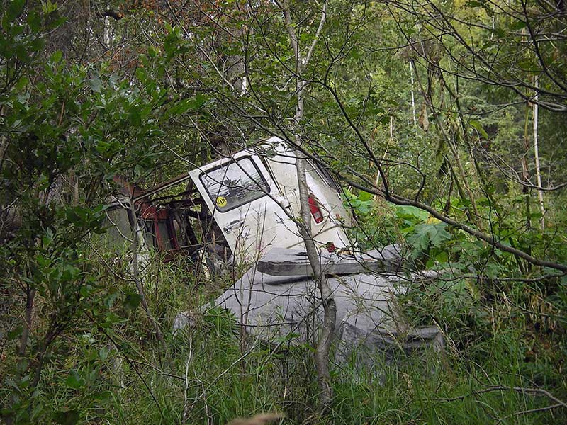
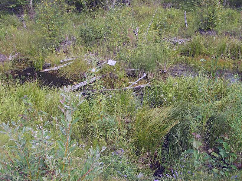
Photos

Questions or comments about this report can be directed to dfg.dsf.webmaster@alaska.gov