Fish Passage Site 20401344
Coordinates (dec. deg.): 61.71796°, -149.12068°
Legal Description: S019N002E20
Region: South Central
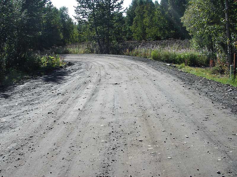
Road Name: Murphy Road
Datum: NAD83
Quad Name / ITM: Anchorage C-6
AWC Stream #: 247-50-10260-2019-3120
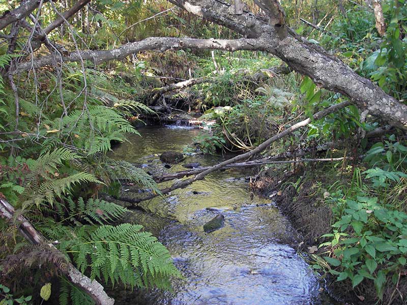
Stream Name: Wasilla Creek tributary
Elevation:
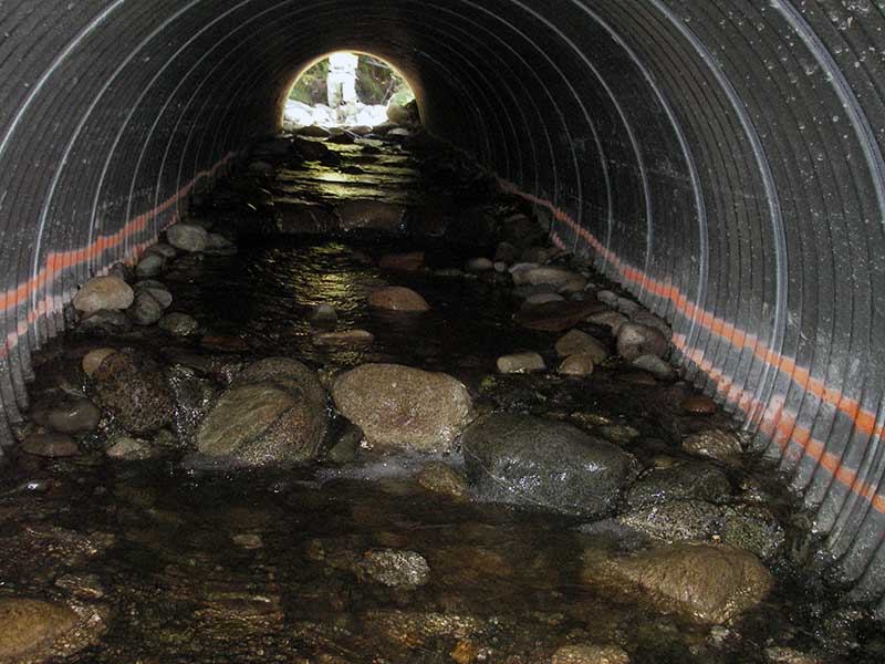
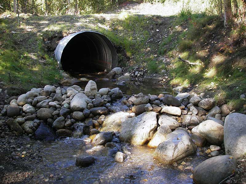
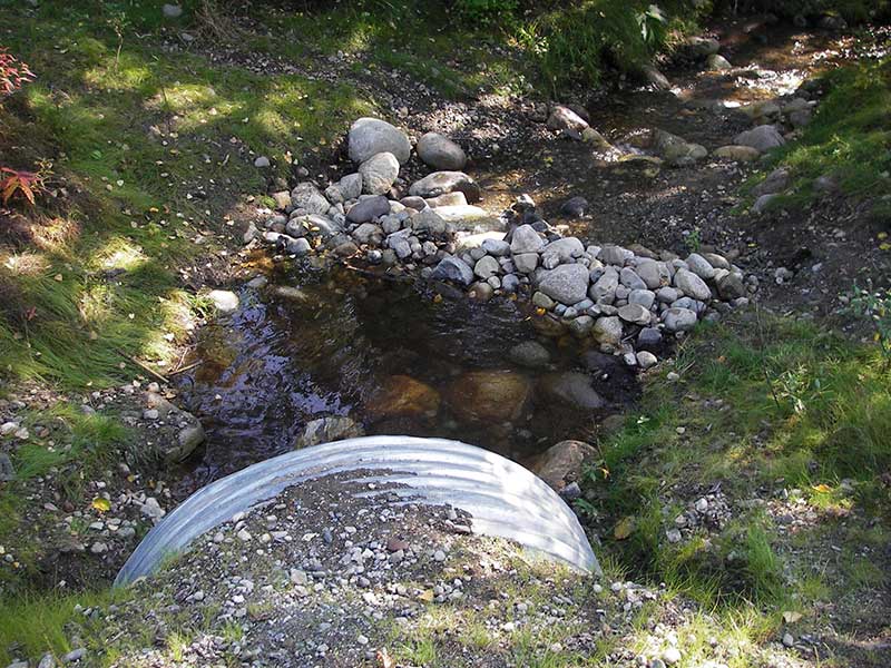
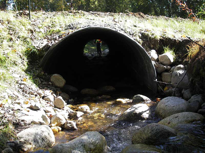
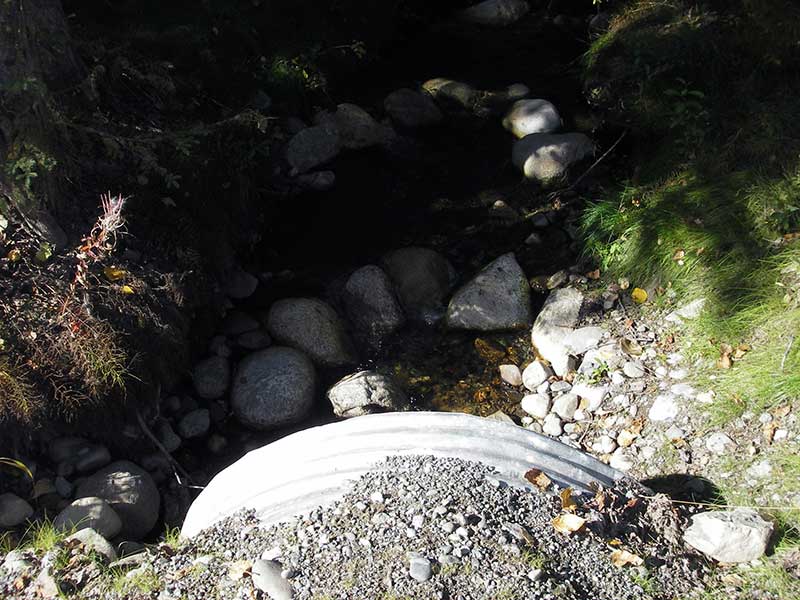
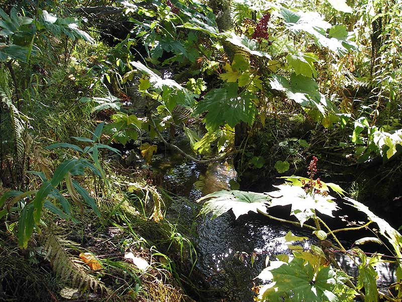
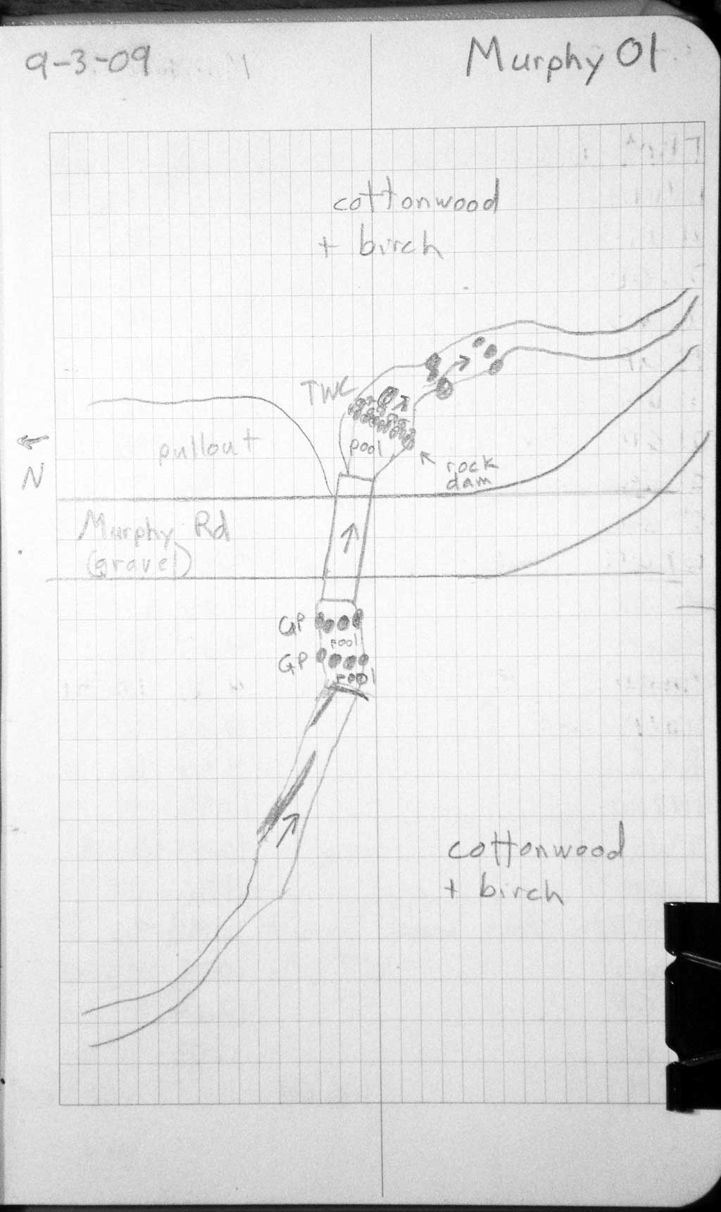
Site Comments: The outlet area consists of three step pools created by piled cobble/boulders with one pool at the outlet.
arrow to the right of the survey date below to choose a different report for this site.
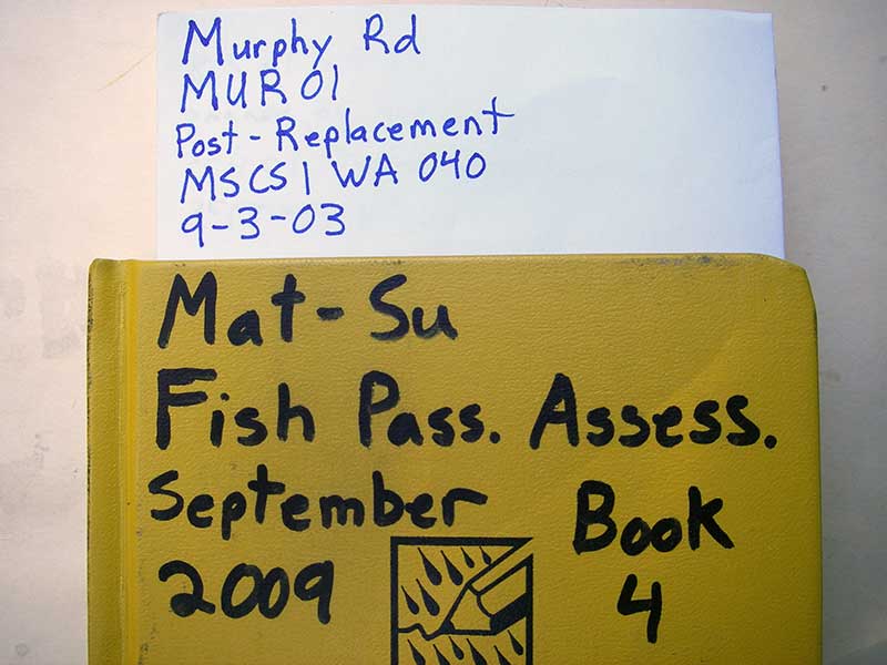
Survey MSB09-MUR01
Project Supervisor: Gillian O'Doherty, ADFG
Observers: Heidi Zimmer, Ben Histand
Overall Fish Passage Rating:
Tidal: No
Backwatered: No
Step Pools: Yes
Construction Year: 2008
Site Observations:
- None of this type
Comments: Step pools in pipe. Post-replacement survey of MSCS1WA040; Upstream gradient = 4.2%. Someone has built a dam at upper most step pool.
Culvert Measurements
| ID: 1 | Structure Type: Circular pipe (Corrugated steel) | Fish Passage Rating: | ||||||||||||||||||||||||||||||||||||||||||
|
|
|
||||||||||||||||||||||||||||||||||||||||||
Culvert Observations:
|
||||||||||||||||||||||||||||||||||||||||||||
Stream Measurements
|
|
| Stream Width Type | Distance From Crossing (ft) |
Stream Width (ft) |
|---|---|---|
| Upstream ordinary high water | 62.0 | 7.00 |
| Upstream ordinary high water | 115.0 | 7.00 |
| Upstream ordinary high water | 155.0 | 6.00 |
Elevations
| Locator ID | Culvert Number |
River Distance (ft)1 |
Distance From Crossing (ft)2 |
Relative Elevation (ft) |
|---|---|---|---|---|
| U/S Water Surface Elev (water surface used for stream grad) | 1 | 0.00 | 102.72 | |
| U/S Water Surface Elev (Stream gradient) | 1 | 115.00 | 97.85 | |
| U/S Grade Ctrl (Thalweg) (grade point at top of cobble step pool) | 1 | 121.00 | 97.43 | |
| U/S Water Surface Elev | 1 | 121.00 | 97.75 | |
| U/S Water Surface Elev | 1 | 124.00 | 97.36 | |
| U/S Thalweg (upst max pool) | 1 | 124.00 | 96.65 | |
| U/S Grade Ctrl (Thalweg) (grade pt at top of boulder step) | 1 | 128.00 | 97.06 | |
| U/S Water Surface Elev | 1 | 128.00 | 97.34 | |
| U/S Water Surface Elev (inlet water surface) | 1 | 135.00 | 96.76 | |
| Inlet Culvert Invert (invert on substrate) | 1 | 135.00 | 96.34 | |
| Top of Pipe Inlet | 1 | 135.00 | 100.00 | |
| Road Elev | 1 | 155.00 | 101.23 | |
| Outlet Culvert Top | 1 | 180.50 | 98.65 | |
| Outlet Invert (invert on substrate) | 1 | 180.50 | 94.61 | |
| D/S Water Surface Elev (outlet water surface) | 1 | 180.50 | 94.88 | |
| Outlet Pool Water Elev | 1 | 191.50 | 94.85 | |
| Max Pool Depth (max pool depth) | 1 | 191.50 | 94.23 | |
| D/S Tailcrest or 1st Thalweg (top of 1st rock riffle forming the outlet step pool area) | 1 | 193.50 | 94.54 | |
| D/S Water Surface Elev | 1 | 193.50 | 94.80 | |
| D/S Water Surface Elev | 1 | 204.50 | 93.10 | |
| D/S Grade Ctrl (Thalweg) (top of step pool below ATV crossing) | 1 | 204.50 | 92.57 | |
| D/S Water Surface Elev | 1 | 210.50 | 92.73 | |
| D/S Grade Ctrl (Thalweg) (top of outlet of 3rd step pool with boulders) | 1 | 210.50 | 92.33 | |
| D/S Thalweg (max pool before three upst step pools below outlet) | 1 | 232.50 | 91.24 | |
| D/S Water Surface Elev | 1 | 232.50 | 91.98 |
Notes:
- River distance is measured continuously throughout the survey reach along the thalweg of the stream.
- Measured from each end of the crossing along the thalweg of the stream.
Fish Sampling Efforts
No fish sampling occurred during this survey.
Fish Observations
No fish observations occurred during this survey.
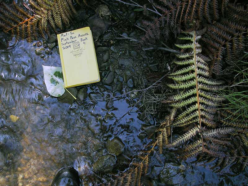
Photos
Questions or comments about this report can be directed to dfg.dsf.webmaster@alaska.gov