Fish Passage Site 20401297
Coordinates (dec. deg.): 61.52158°, -149.57146°
Legal Description: S017N002W35
Region: South Central
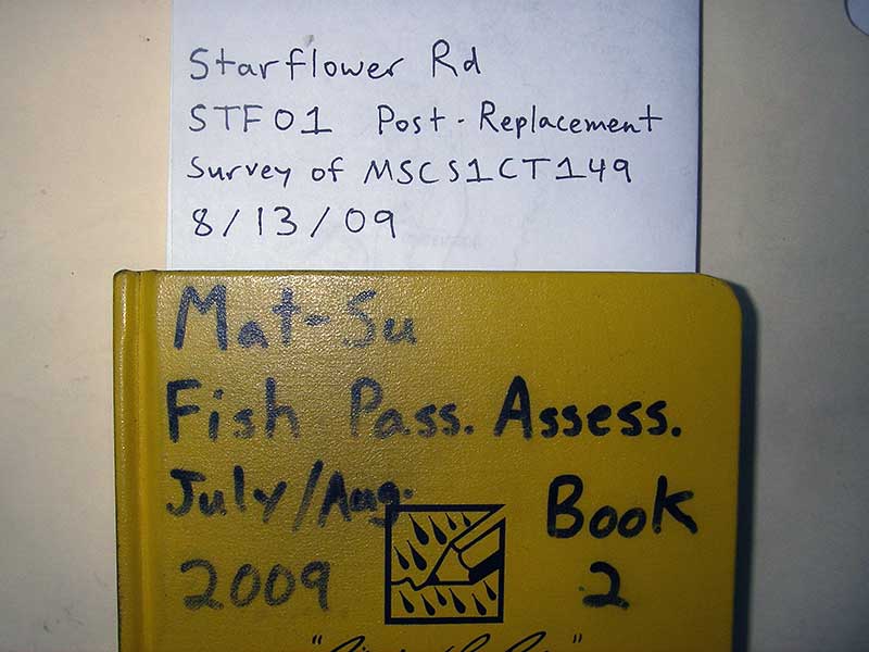
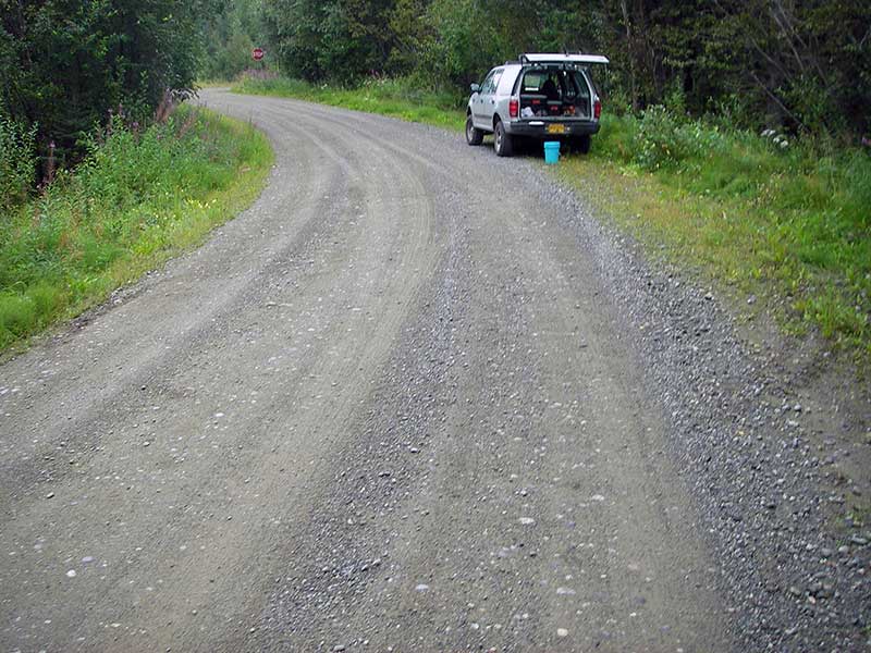
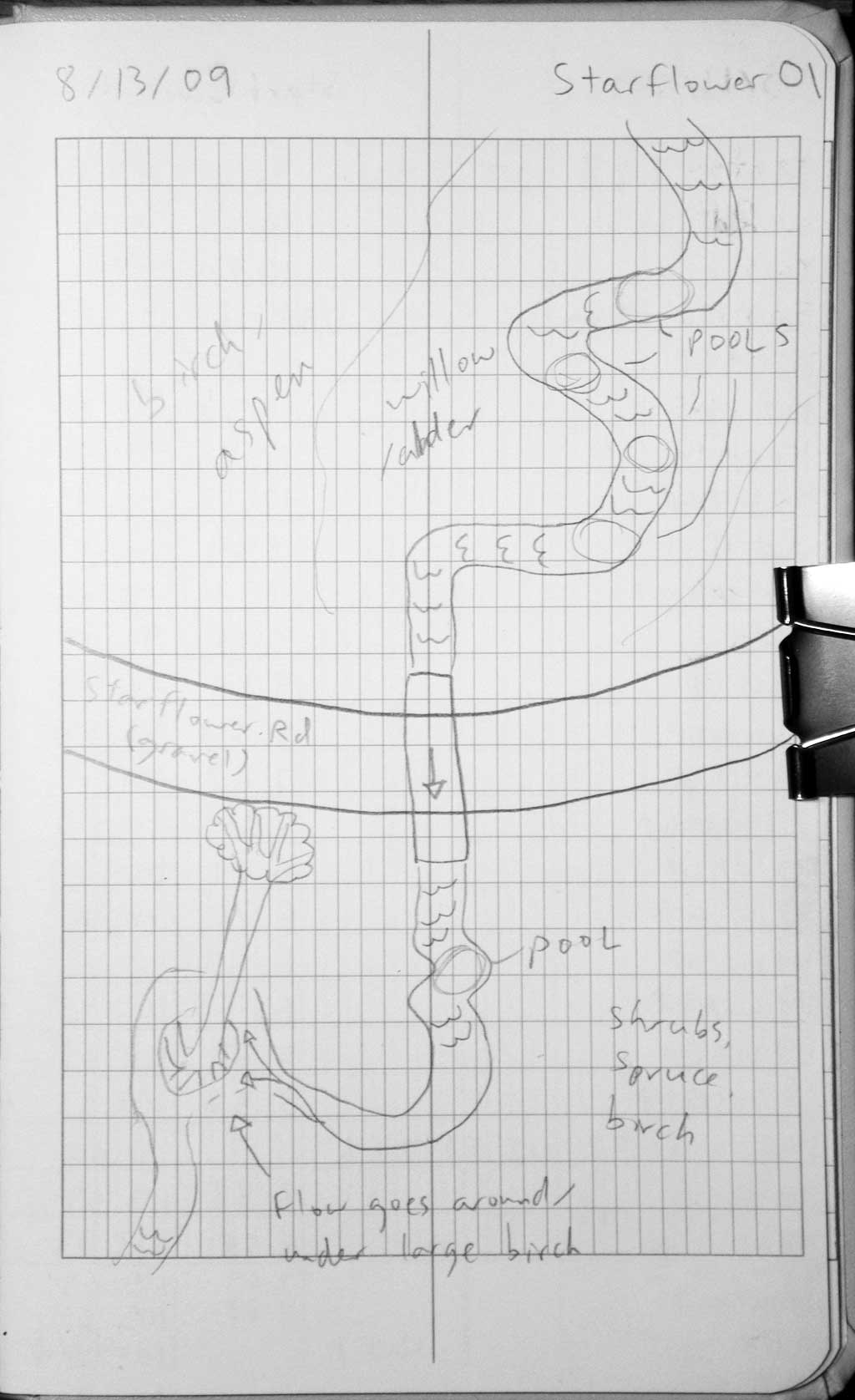
Road Name: South Starflower Drive
Datum: NAD83
Quad Name / ITM: Anchorage C-7
AWC Stream #:
Stream Name: Lucy Creek tributary
Elevation:
Site Comments: None
arrow to the right of the survey date below to choose a different report for this site.
Survey MSB09-STF01
Project Supervisor: Gillian O'Doherty, ADFG
Observers: Heidi Zimmer, Ben Histand
Overall Fish Passage Rating:
Tidal: No
Backwatered: No
Step Pools: No
Construction Year: 2004
Site Observations:
- None of this type
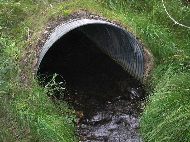
Comments: Post-replacement survey of MSCS1CT149. long profile done in 2011.
Culvert Measurements
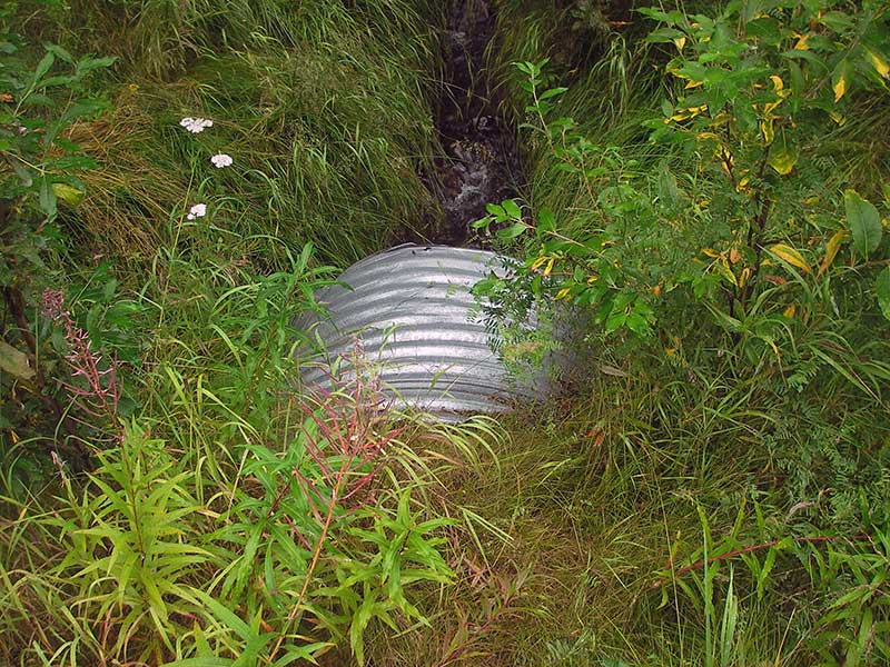
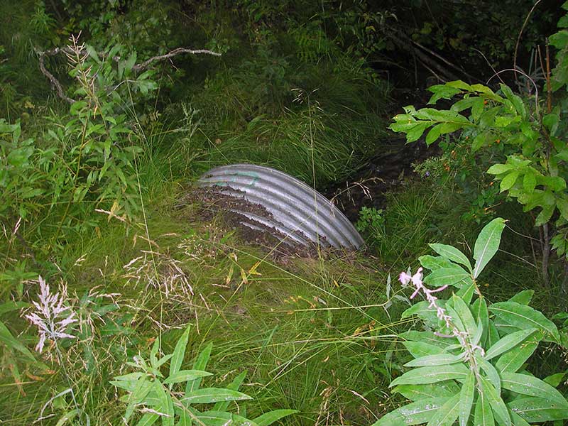
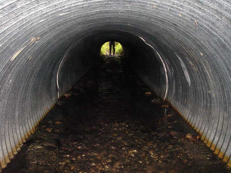
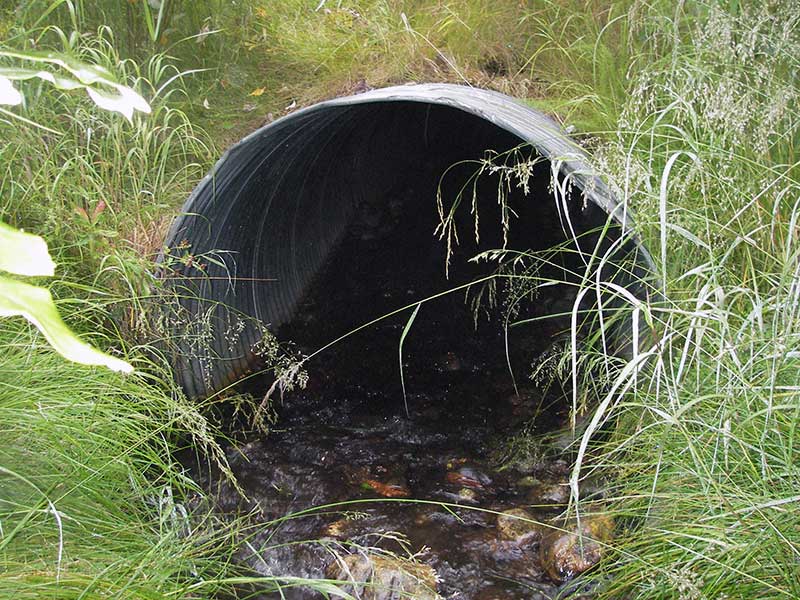
| ID: 1 | Structure Type: Circular pipe (Corrugated steel) | Fish Passage Rating: | ||||||||||||||||||||||||||||||||||||||||||
|
|
|
||||||||||||||||||||||||||||||||||||||||||
Culvert Observations:
|
||||||||||||||||||||||||||||||||||||||||||||
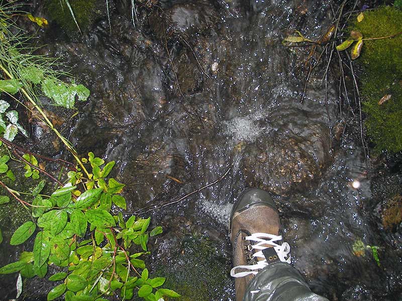
Stream Measurements
|
|
| Stream Width Type | Distance From Crossing (ft) |
Stream Width (ft) |
|---|---|---|
| Upstream ordinary high water | 23.0 | 3.00 |
| Upstream ordinary high water | 60.0 | 3.50 |
| Upstream ordinary high water | 102.0 | 2.50 |
Elevations
| Locator ID | Culvert Number |
River Distance (ft)1 |
Distance From Crossing (ft)2 |
Relative Elevation (ft) |
|---|---|---|---|---|
| Max Pool Depth (max pool dwst) | 1 | 0.00 | 94.52 | |
| D/S Water Surface Elev | 1 | 0.00 | 95.02 | |
| D/S Grade Ctrl (Thalweg) (grade pt at top of riffle) | 1 | 6.00 | 95.26 | |
| D/S Water Surface Elev | 1 | 6.00 | 95.49 | |
| D/S Water Surface Elev (water surface at outlet) | 1 | 10.00 | 95.60 | |
| Outlet Invert (invert on substrate) | 1 | 10.00 | 95.38 | |
| Outlet Culvert Top | 1 | 10.00 | 99.07 | |
| Road Elev | 1 | 45.00 | 101.94 | |
| Top of Pipe Inlet | 1 | 81.10 | 100.00 | |
| U/S Water Surface Elev (water surface at inlet) | 1 | 81.10 | 96.62 | |
| Inlet Culvert Invert (invert on substrate) | 1 | 81.10 | 96.28 | |
| U/S Grade Ctrl (Thalweg) (grade pt at top of riffle) | 1 | 83.10 | 96.51 | |
| U/S Water Surface Elev | 1 | 83.10 | 96.78 | |
| U/S Water Surface Elev (water surface for stream grad) | 1 | 101.10 | 97.12 | |
| U/S Grade Ctrl (Thalweg) (grade pt at top of riffle) | 1 | 120.10 | 97.15 | |
| U/S Water Surface Elev | 1 | 120.10 | 97.49 | |
| U/S Water Surface Elev (water surface for stream grad) | 1 | 193.10 | 97.97 |
Notes:
- River distance is measured continuously throughout the survey reach along the thalweg of the stream.
- Measured from each end of the crossing along the thalweg of the stream.
Fish Sampling Efforts
| Gear Type: Minnow Trap (A) | Trap Duration(h): 1.25 | |
| Comments: 60ft u/s | ||
| Gear Type: Minnow Trap (B) | Trap Duration(h): 1.25 | |
| Comments: no fish caught; 70ft d/s | ||
Fish Observations
| Species: juvenile coho salmon | Life History: Anadromous | ||
| Total Fish Observed: 1 | Fish Measured: 1 | Fork Lengths (mm) Min: 90 Max: 90 Mean: 90 | |
| Collected/Observed by Gear Type: Upstream Minnow Trap (1) | |||
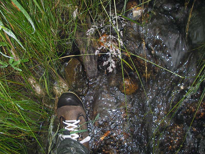
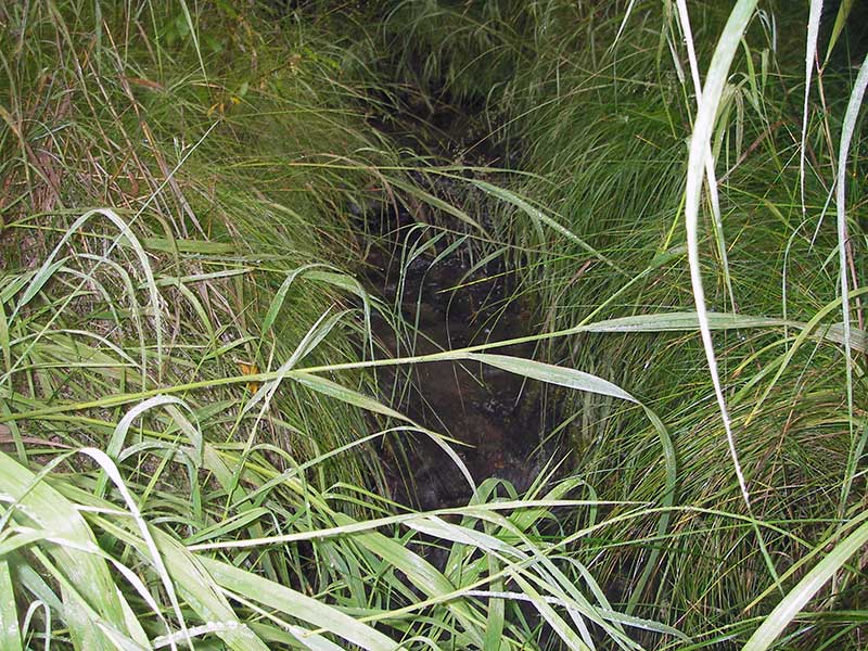
Photos

Questions or comments about this report can be directed to dfg.dsf.webmaster@alaska.gov