Fish Passage Site 20401235
Coordinates (dec. deg.): 61.70985°, -149.09251°
Legal Description: S019N002E28
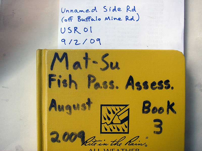
Region: South Central
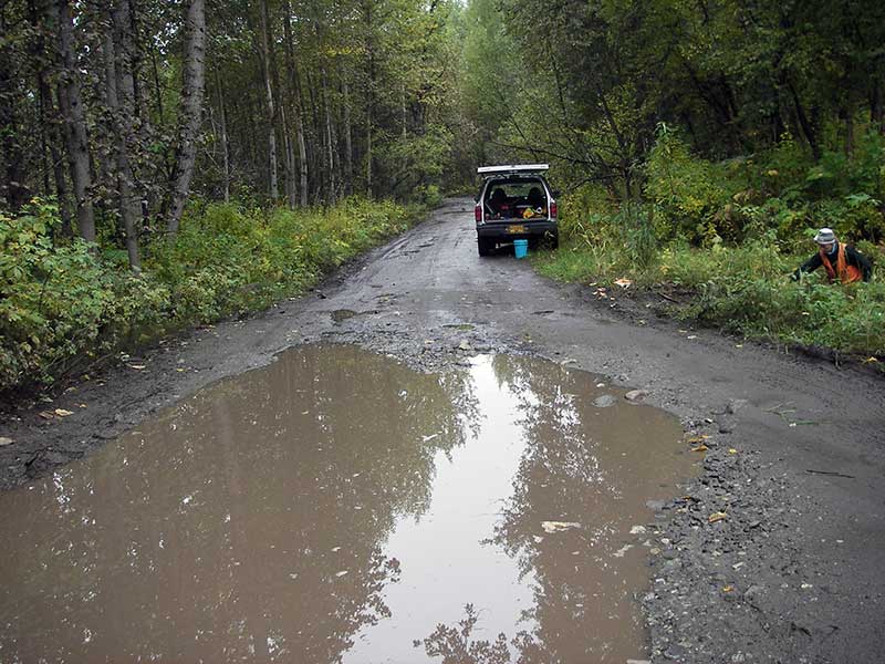
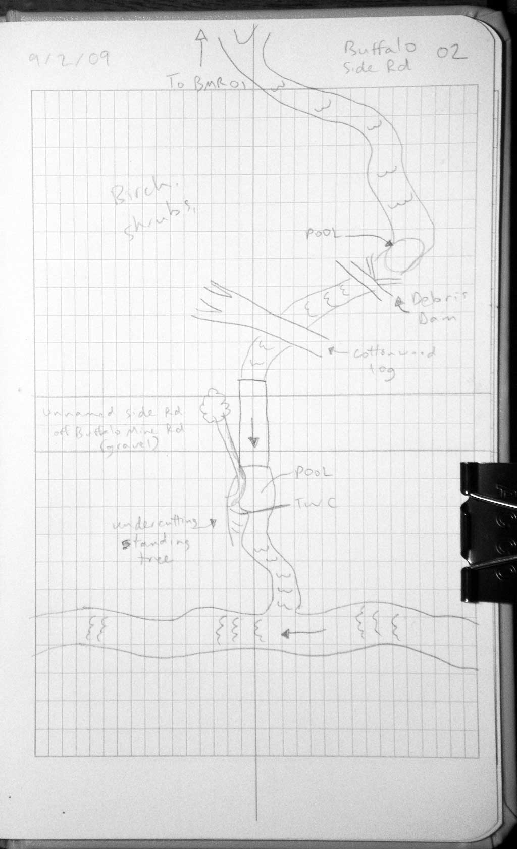
Road Name: Buffalo Mine Road side road
Datum: WGS84
Quad Name / ITM: Anchorage C-6
AWC Stream #:
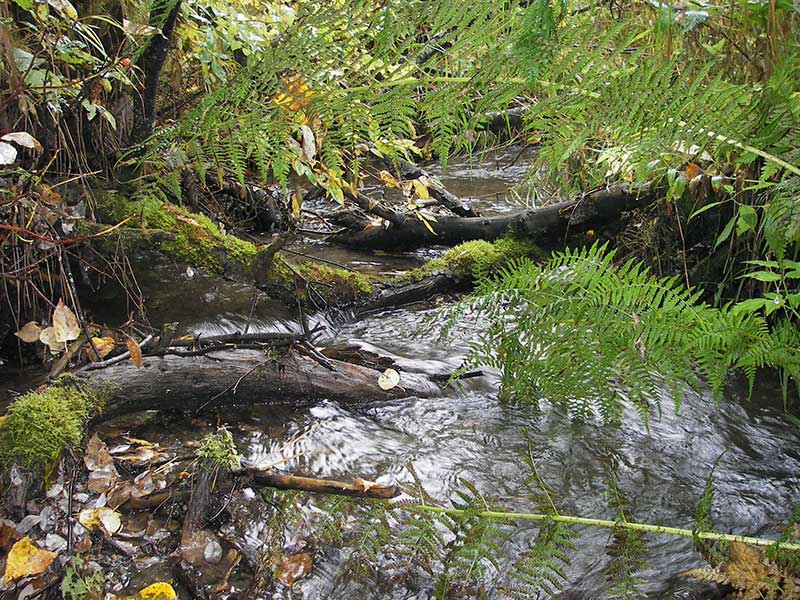
Stream Name: Moose Creek tributary
Elevation:
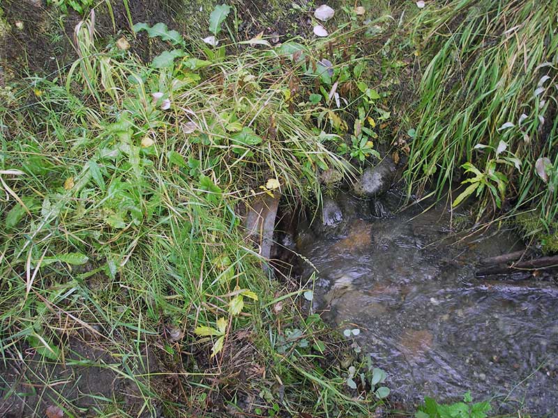
Site Comments: Side road off Buffalo Mine Rd. Site just d/s of BMR01.
Survey MSB09-USR02
Project Supervisor: Gillian O'Doherty, ADFG
Observers: Heidi Zimmer, Ben Histand
Overall Fish Passage Rating:
Tidal: No
Backwatered: No
Step Pools: No
Construction Year:
Site Observations:
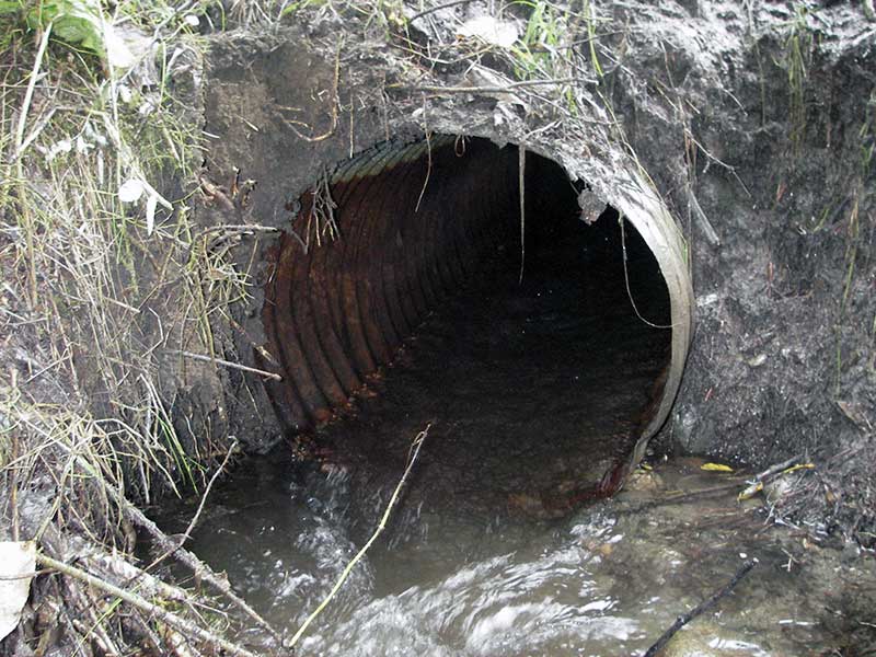
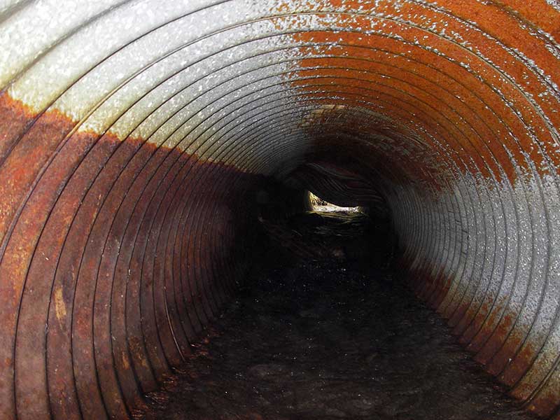
- Constriction ratio red
- Culvert gradient red
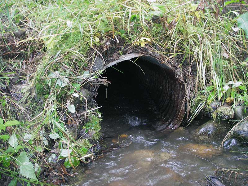
- Culvert is poorly aligned
- Shallow fill; inadequate roadfill volume above culvert
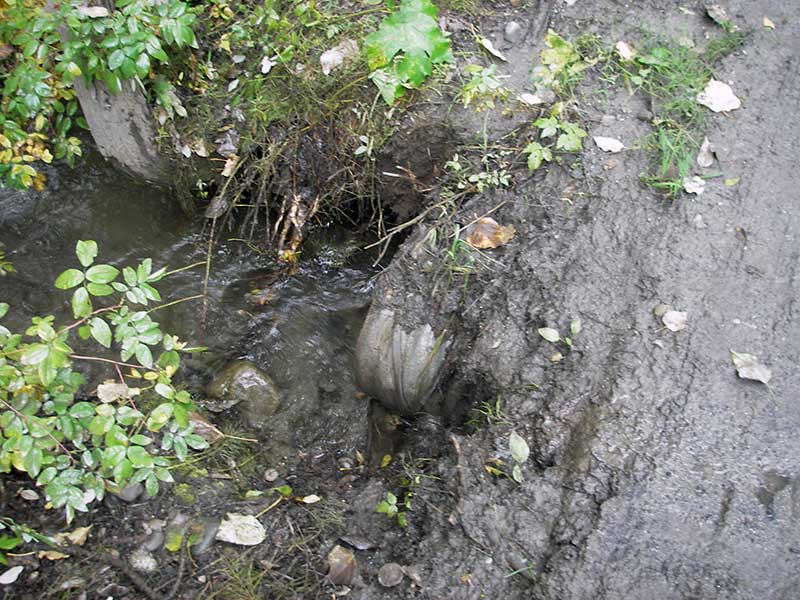
- Outfall height gray
Comments: Crooked rust line, maybe from approach angle; site just d/s of BMR01. Culvert looks like it was reused, rustline undependable.
Culvert Measurements
| ID: 1 | Structure Type: Circular pipe (Corrugated steel) | Fish Passage Rating: | |||||||||||||||||||||||||||||||||||||||||
|
|
|
|||||||||||||||||||||||||||||||||||||||||
Culvert Observations:
|
|||||||||||||||||||||||||||||||||||||||||||
Stream Measurements
|
|
| Stream Width Type | Distance From Crossing (ft) |
Stream Width (ft) |
|---|---|---|
| Upstream ordinary high water | 40.0 | 6.50 |
| Upstream ordinary high water | 77.0 | 5.00 |
| Upstream ordinary high water | 127.0 | 3.50 |
Elevations
| Locator ID | Culvert Number |
River Distance (ft)1 |
Distance From Crossing (ft)2 |
Relative Elevation (ft) |
|---|---|---|---|---|
| Outlet Pool Water Elev | 1 | 97.89 | ||
| U/S Headwater | 1 | 98.44 | ||
| D/S Water Surface Elev (@GP) | 1 | 0.00 | 13.0 | 97.51 |
| D/S Grade Ctrl (Thalweg) | 1 | 0.00 | 13.0 | 97.12 |
| D/S Tailcrest or 1st Thalweg | 1 | 7.00 | 6.0 | 97.40 |
| D/S Water Surface Elev (@TWC) | 1 | 7.00 | 6.0 | 97.85 |
| D/S Thalweg (bottom of out pool) | 1 | 10.00 | 3.0 | 96.87 |
| D/S Thalweg | 1 | 13.00 | 0.0 | 97.35 |
| Outlet Invert | 1 | 13.00 | 0.0 | 97.57 |
| Road Elev | 1 | 28.00 | 100.95 | |
| Inlet Culvert Invert | 1 | 37.20 | 0.0 | 97.95 |
| U/S Grade Ctrl (Thalweg) (TC of 1st pool u/s) | 1 | 53.20 | 16.0 | 98.47 |
| U/S Water Surface Elev (@GP) | 1 | 53.20 | 16.0 | 98.78 |
Notes:
- River distance is measured continuously throughout the survey reach along the thalweg of the stream.
- Measured from each end of the crossing along the thalweg of the stream.
Fish Sampling Efforts
| Gear Type: Minnow Trap (A) | ||
| Comments: 30ft d/s; trap in bigger stream below confluence | ||
Fish Observations
| Species: juvenile/adult Dolly Varden | Life History: Not Recorded | ||
| Total Fish Observed: 1 | Fish Measured: 1 | Fork Lengths (mm) Min: 128 Max: 128 Mean: 128 | |
| Collected/Observed by Gear Type: Downstream Minnow Trap (1) | |||
Photos
Questions or comments about this report can be directed to dfg.dsf.webmaster@alaska.gov