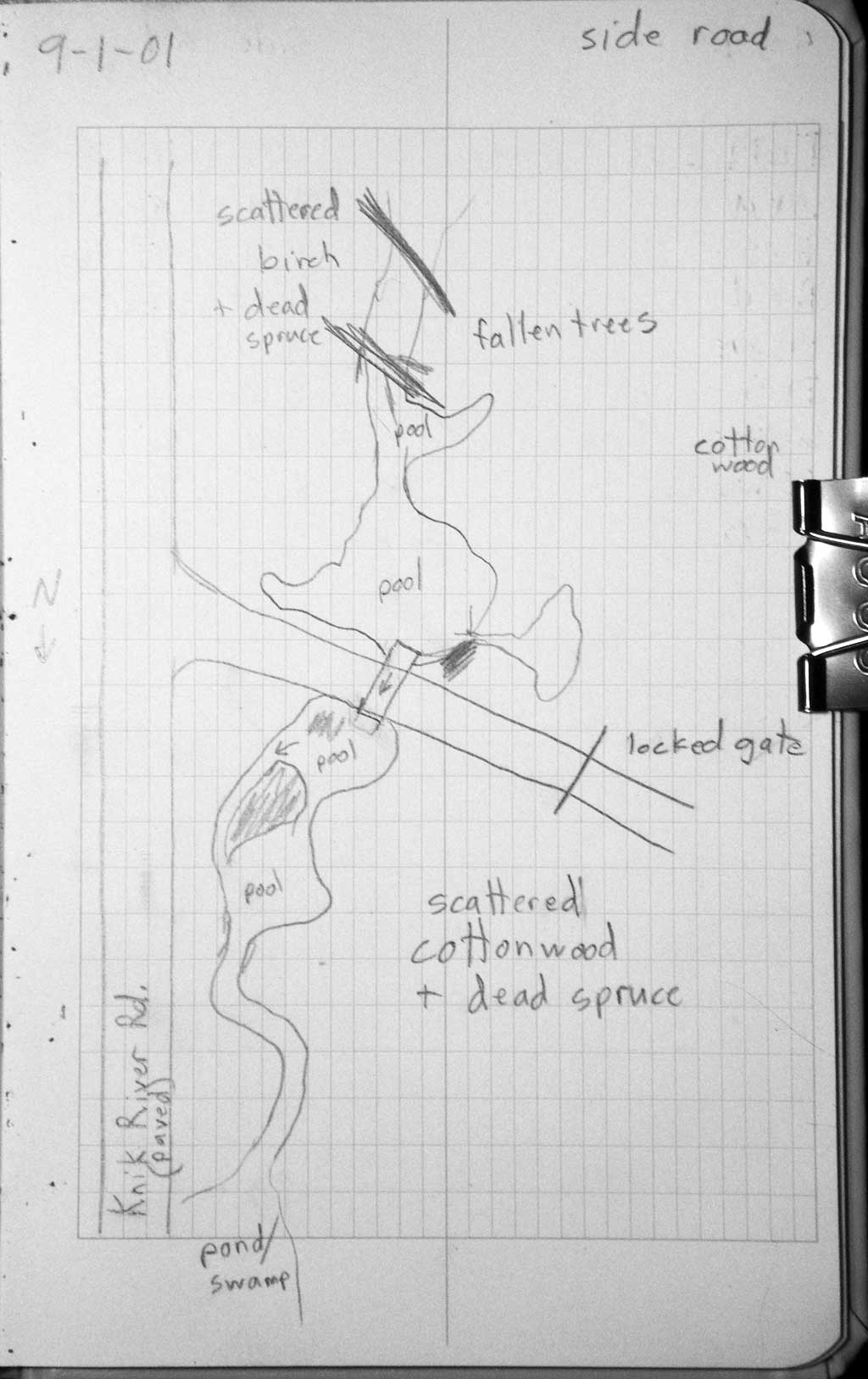
Fish Passage Site 20401234
Coordinates (dec. deg.): 61.45512°, -148.83777°
Legal Description: S016N003E25
Region: South Central
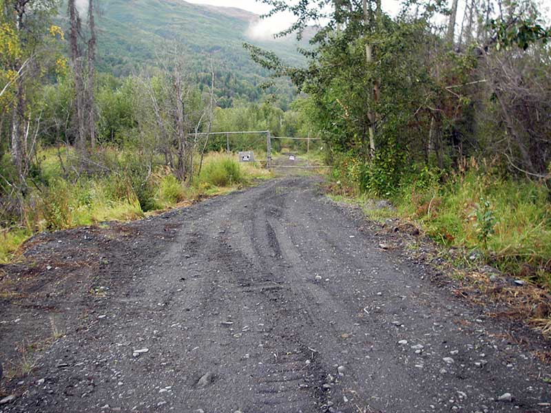
Road Name: Farmettes Circle
Datum: WGS84
Quad Name / ITM: Anchorage B-5
AWC Stream #:
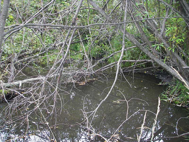
Stream Name: Knik River tributary
Elevation:
Site Comments: None
arrow to the right of the survey date below to choose a different report for this site.
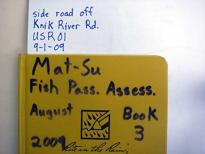
Survey MSB09-USR01
Project Supervisor: Gillian O'Doherty, ADFG
Observers: Heidi Zimmer, Ben Histand
Overall Fish Passage Rating:
Tidal: No
Backwatered: No
Step Pools: No
Construction Year:
Site Observations:
- Culvert gradient red
- Shallow fill; inadequate roadfill volume above culvert
- Mechanical damage or joints parting
- Sediment accumulation
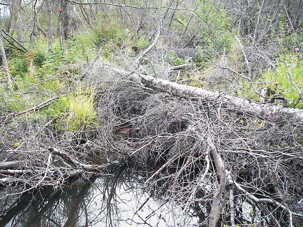
- Beaver Activity
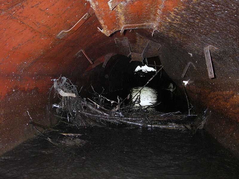
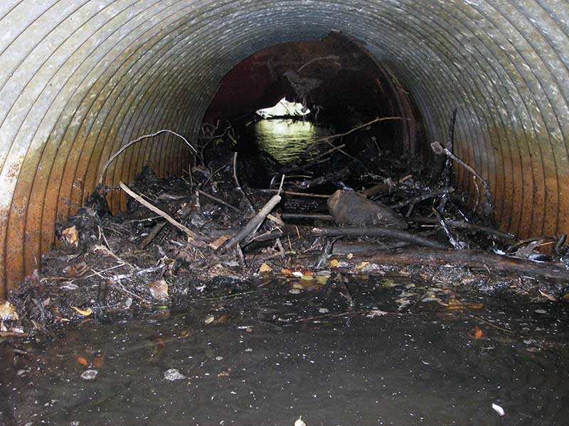
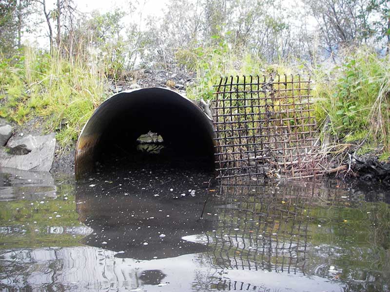
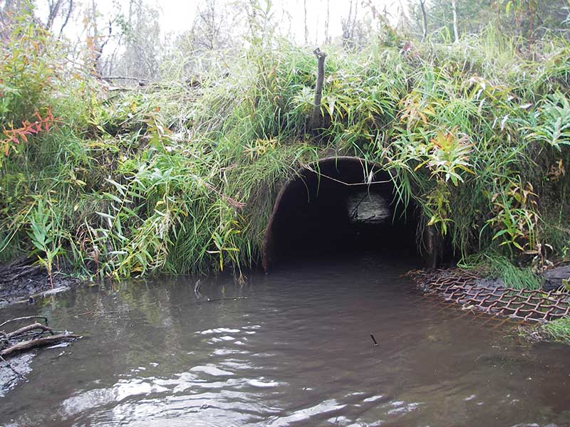
Comments: Pipe different at each end: inlet corrugated, outlet NCP (w/brackets inside). Outlet rusted through. Photos and additional fish data added from 9.15.16 Fish survey. Fish survey data in AFFI database.
Culvert Measurements
| ID: 1 | Structure Type: Circular pipe (Non-corrugated metal) | Fish Passage Rating: | |||||||||||||||||||||||||||||||||||||||||
|
|
|
|||||||||||||||||||||||||||||||||||||||||
Comments: Pipe is made up of different material at each end. Inlet is a corregated steel pipe, outlet is a non-corregated metal, possibly an old tank or tank car. Outlet is rusted through. |
|||||||||||||||||||||||||||||||||||||||||||
Culvert Observations:
|
|||||||||||||||||||||||||||||||||||||||||||
Stream Measurements
|
|
No stream width data available.
Elevations
| Locator ID | Culvert Number |
River Distance (ft)1 |
Distance From Crossing (ft)2 |
Relative Elevation (ft) |
|---|---|---|---|---|
| Outlet Pool Water Elev | 1 | 96.97 | ||
| U/S Headwater | 1 | 98.16 | ||
| D/S Tailcrest or 1st Thalweg (1st GP d/s - flat, slow wetland channel) | 1 | 0.00 | 60.0 | 96.31 |
| D/S Water Surface Elev (@GP) | 1 | 0.00 | 60.0 | 96.90 |
| Outlet Invert | 1 | 60.00 | 0.0 | 96.08 |
| Road Elev | 1 | 76.00 | 101.04 | |
| Inlet Culvert Invert | 1 | 92.60 | 0.0 | 96.94 |
Notes:
- River distance is measured continuously throughout the survey reach along the thalweg of the stream.
- Measured from each end of the crossing along the thalweg of the stream.
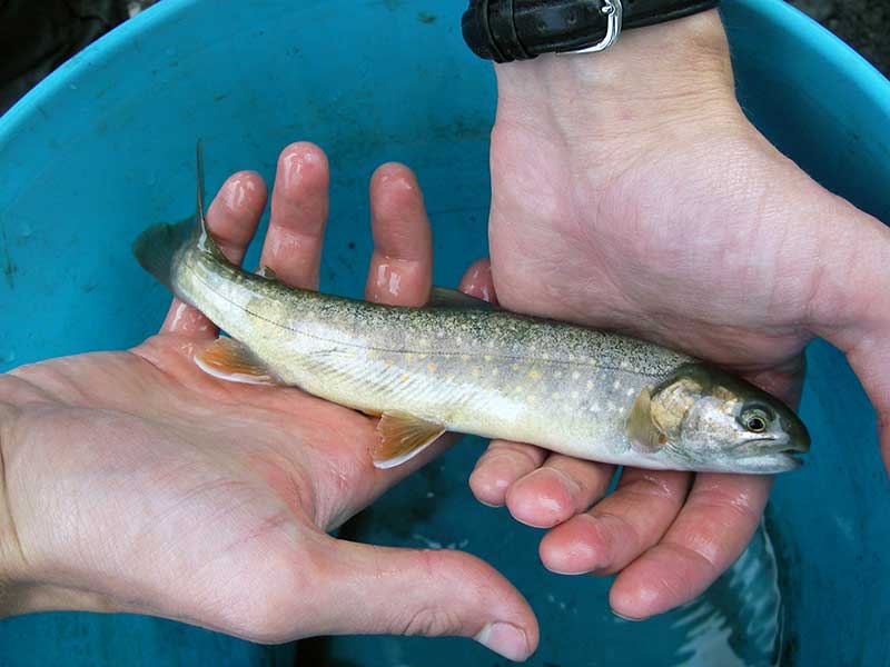
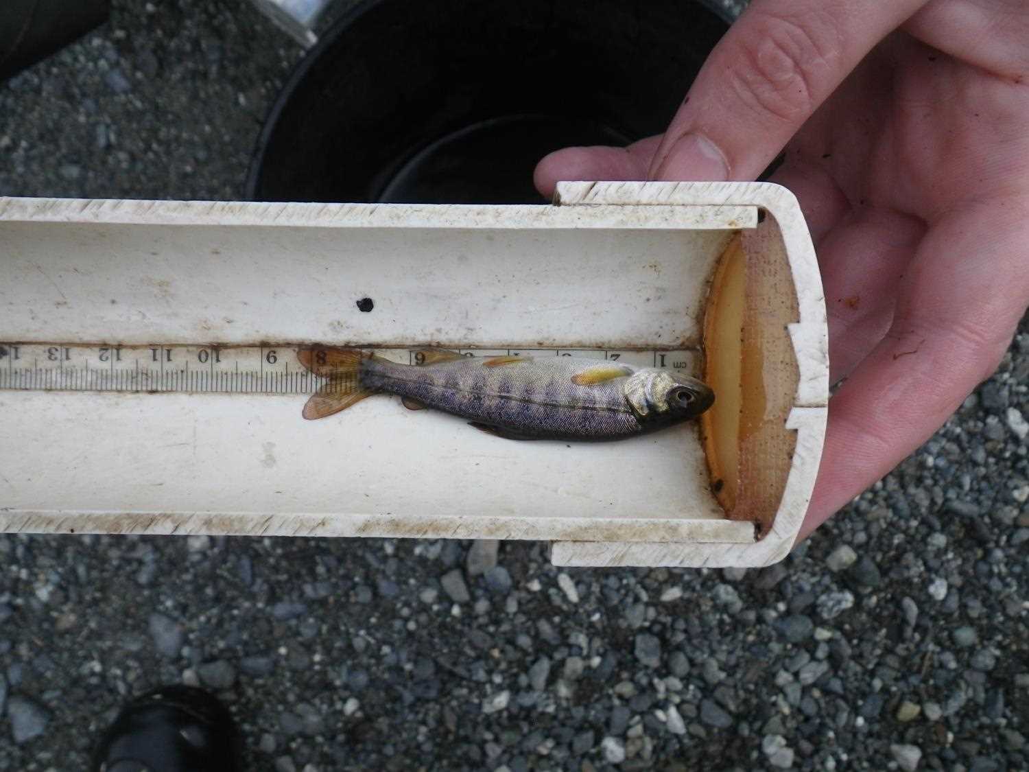
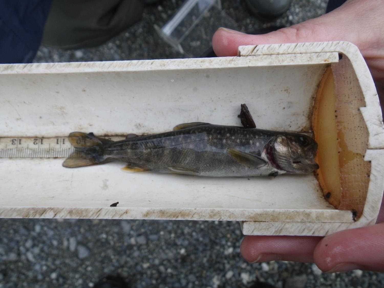
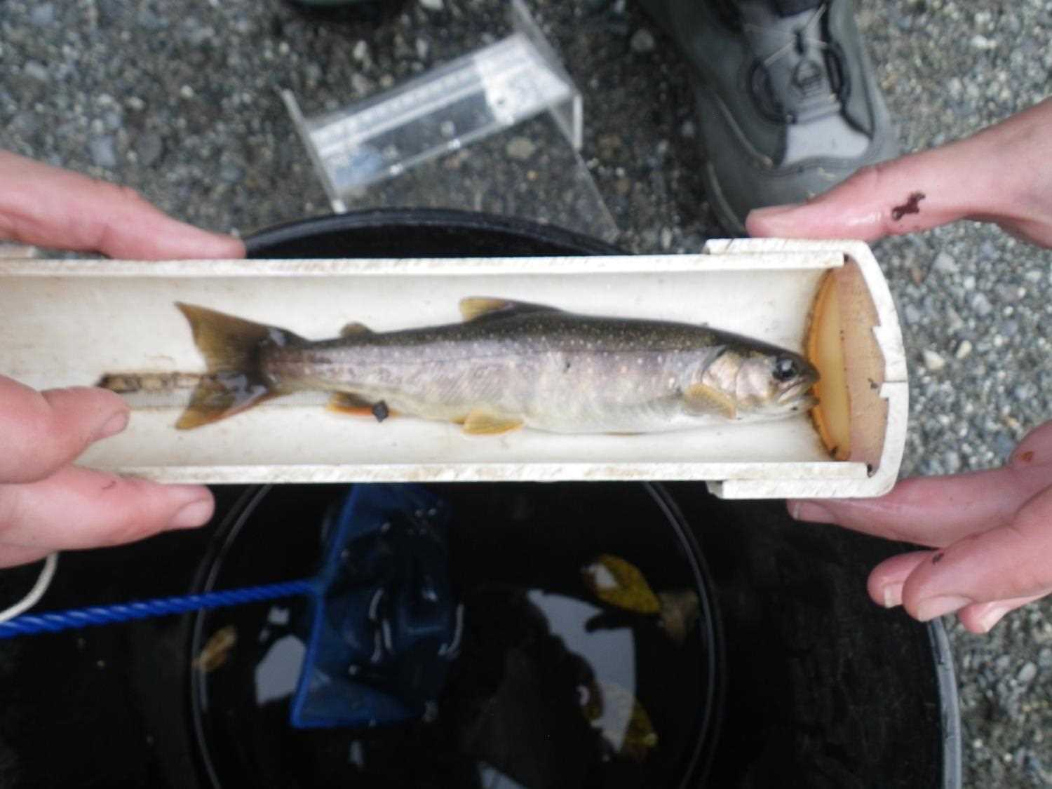
Fish Sampling Efforts
| Gear Type: Minnow Trap (A) | Trap Duration(h): 0.75 | |
| Comments: no fish caught; 50ft d/s | ||
| Gear Type: Minnow Trap (B) | Trap Duration(h): 0.75 | |
| Comments: 50 ft u/s | ||
Fish Observations
No fish observations occurred during this survey.
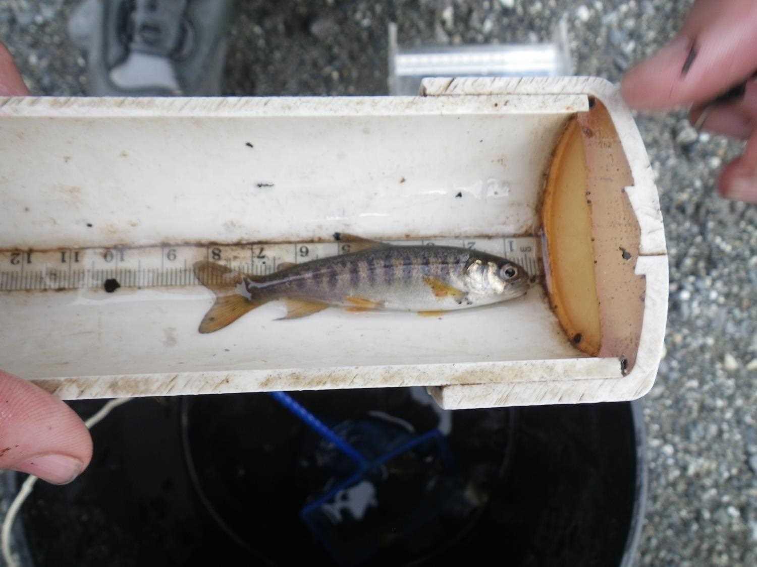
Photos

Questions or comments about this report can be directed to dfg.dsf.webmaster@alaska.gov