Fish Passage Site 20401230
Coordinates (dec. deg.): 61.52448°, -149.52934°
Legal Description: S017N001W31
Region: South Central
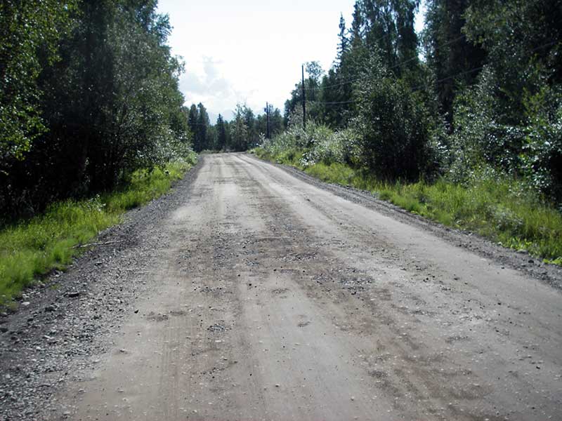
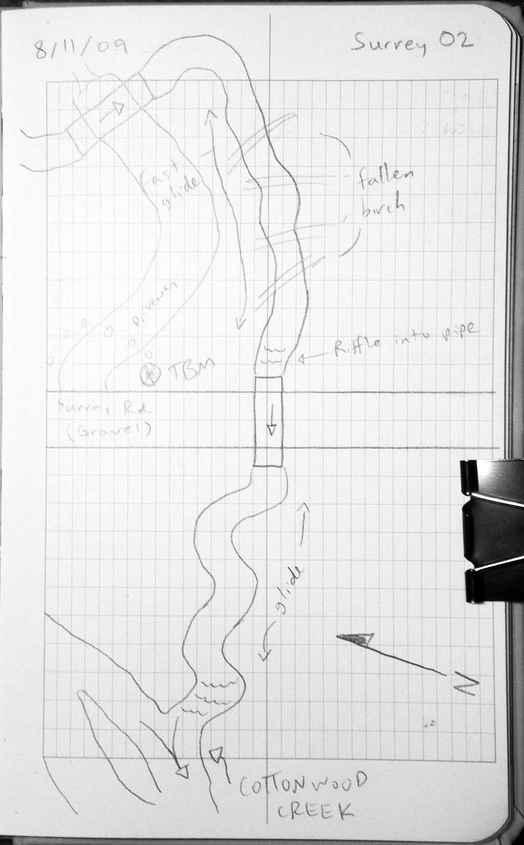
Road Name: Surrey Road
Datum: WGS84
Quad Name / ITM: Anchorage C-7
AWC Stream #:
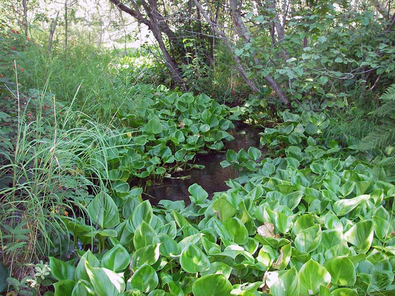
Stream Name: Cottonwood Creek tributary
Elevation:
Site Comments: None
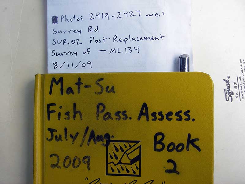
Survey MSB09-SUR02
Project Supervisor: Gillian O'Doherty, ADFG
Observers: Heidi Zimmer, Ben Histand
Overall Fish Passage Rating:
Tidal: No
Backwatered: No
Step Pools: No
Construction Year: 2007
Site Observations:
- Shallow fill; inadequate roadfill volume above culvert
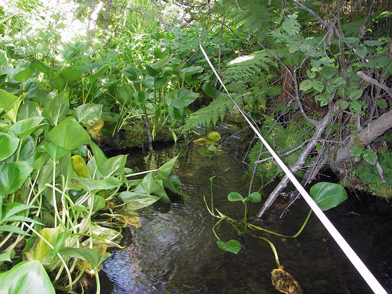
Comments: Post-replacement survey of MSB04ML134; Upstream grade = 0.53%.
Culvert Measurements
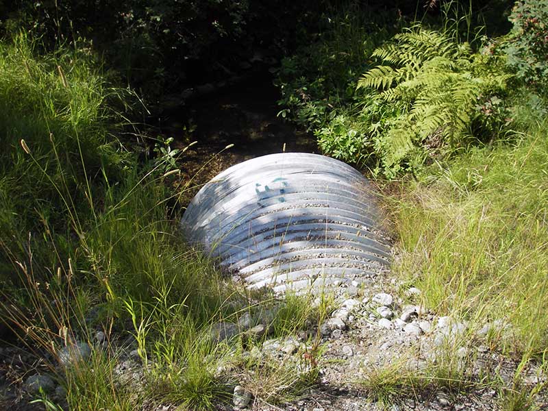
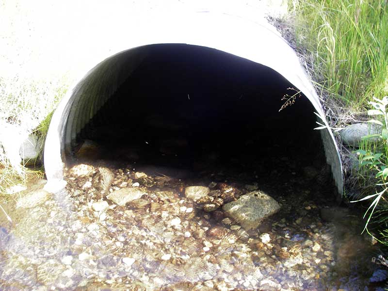
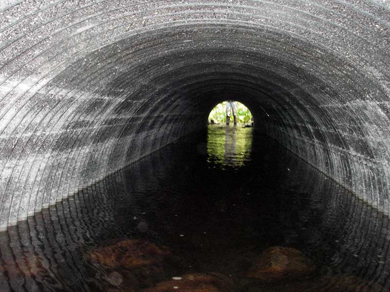
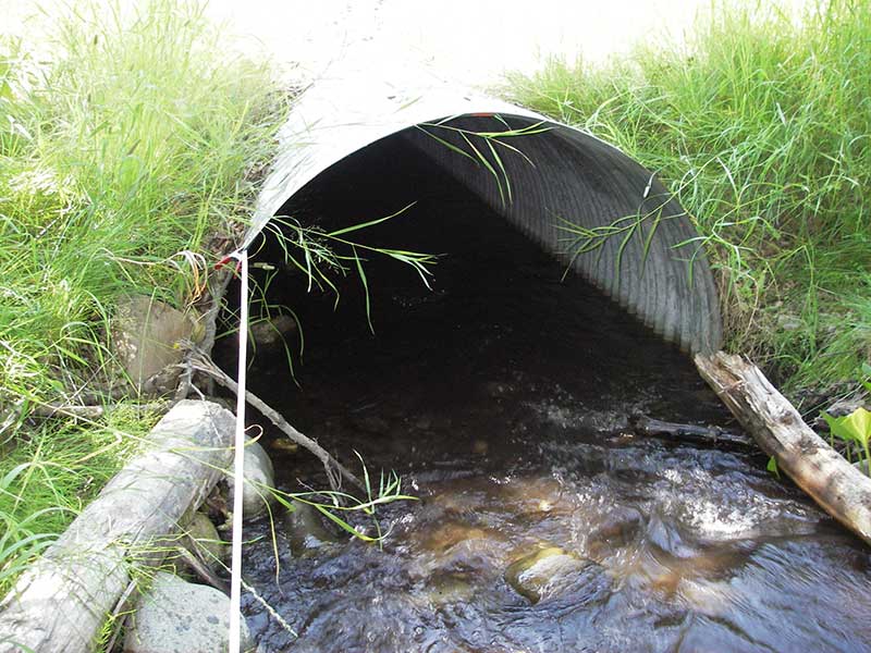
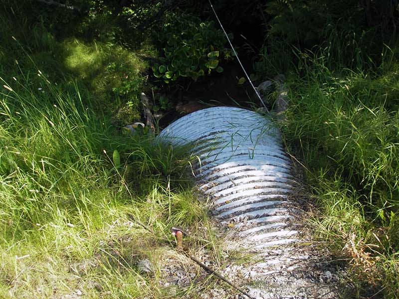
| ID: 1 | Structure Type: Circular pipe (Corrugated steel) | Fish Passage Rating: | ||||||||||||||||||||||||||||||||||||||||||
|
|
|
||||||||||||||||||||||||||||||||||||||||||
Comments: U/S stream gradient = 0.53%. Flat inside pipe. pipe slope calc'd based on inverts. |
||||||||||||||||||||||||||||||||||||||||||||
Culvert Observations:
|
||||||||||||||||||||||||||||||||||||||||||||
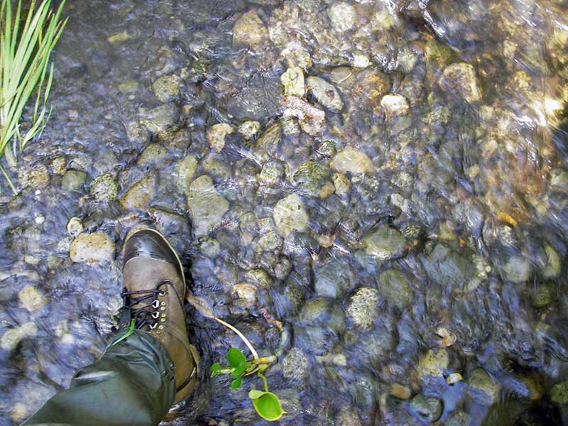
Stream Measurements
|
|
| Stream Width Type | Distance From Crossing (ft) |
Stream Width (ft) |
|---|---|---|
| Upstream ordinary high water | 40.0 | 4.50 |
| Upstream ordinary high water | 100.0 | 5.50 |
| Upstream ordinary high water | 165.0 | 6.00 |
Elevations
| Locator ID | Culvert Number |
River Distance (ft)1 |
Distance From Crossing (ft)2 |
Relative Elevation (ft) |
|---|---|---|---|---|
| Road Elev | 1 | 97.57 | ||
| D/S Water Surface Elev (d/s ws) | 1 | 0.00 | 50.0 | 93.01 |
| D/S Water Surface Elev | 1 | 36.00 | 14.0 | 93.08 |
| D/S Thalweg (no clear TWC) | 1 | 36.00 | 14.0 | 92.43 |
| Outlet Invert (on substrate) | 1 | 50.00 | 0.0 | 92.57 |
| Outlet Pool Water Elev | 1 | 50.00 | 93.10 | |
| U/S Headwater | 1 | 100.70 | 93.15 | |
| Inlet Culvert Invert (on substrate) | 1 | 100.70 | 0.0 | 92.70 |
| U/S Grade Ctrl (Thalweg) | 1 | 106.70 | 6.0 | 92.79 |
| U/S Water Surface Elev (ws @ gp, stream gradient) | 1 | 106.70 | 6.0 | 93.36 |
| U/S Thalweg | 1 | 120.70 | 20.0 | 92.54 |
| U/S Grade Ctrl (Thalweg) | 1 | 224.70 | 124.0 | 93.65 |
| U/S Water Surface Elev (Stream gradient) | 1 | 224.70 | 124.0 | 93.98 |
Notes:
- River distance is measured continuously throughout the survey reach along the thalweg of the stream.
- Measured from each end of the crossing along the thalweg of the stream.
Fish Sampling Efforts
No fish sampling occurred during this survey.
Fish Observations
No fish observations occurred during this survey.
Photos
Questions or comments about this report can be directed to dfg.dsf.webmaster@alaska.gov