Fish Passage Site 20401202
Coordinates (dec. deg.): 61.54816°, -149.26788°
Legal Description: S017N001E22
Region: South Central
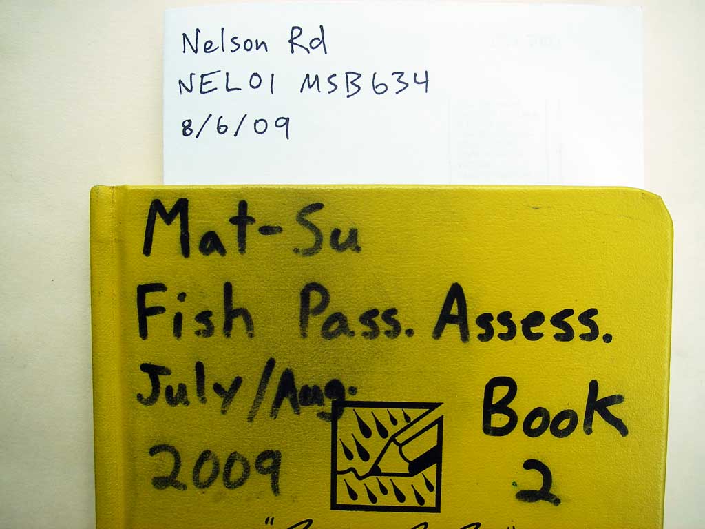
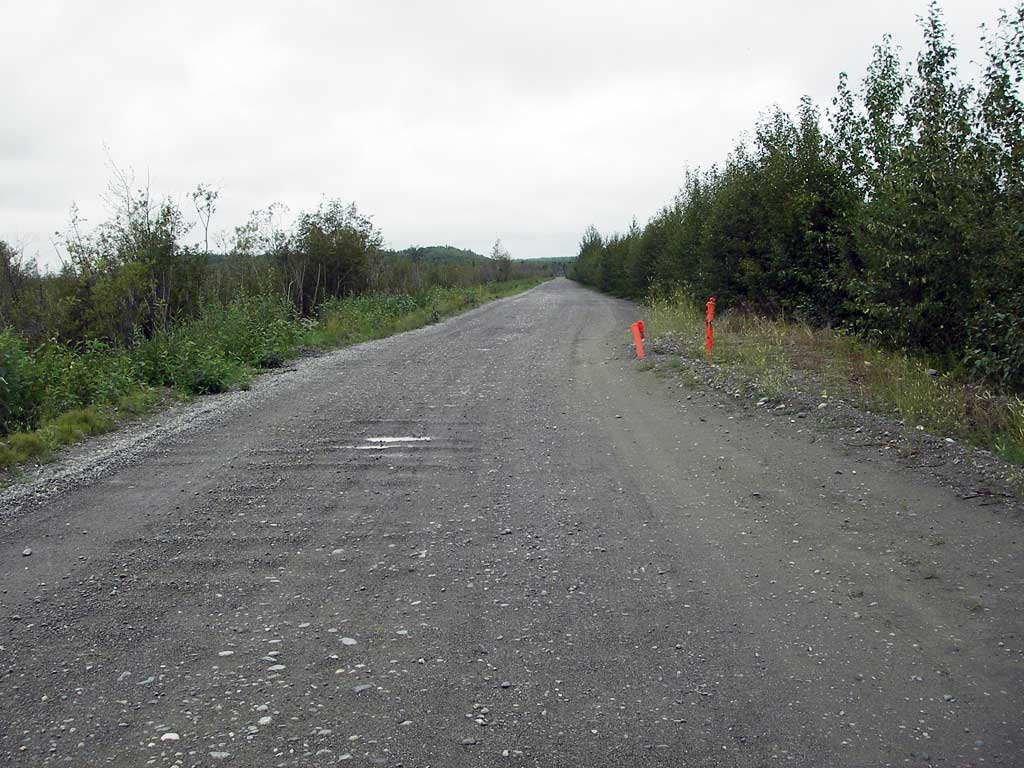
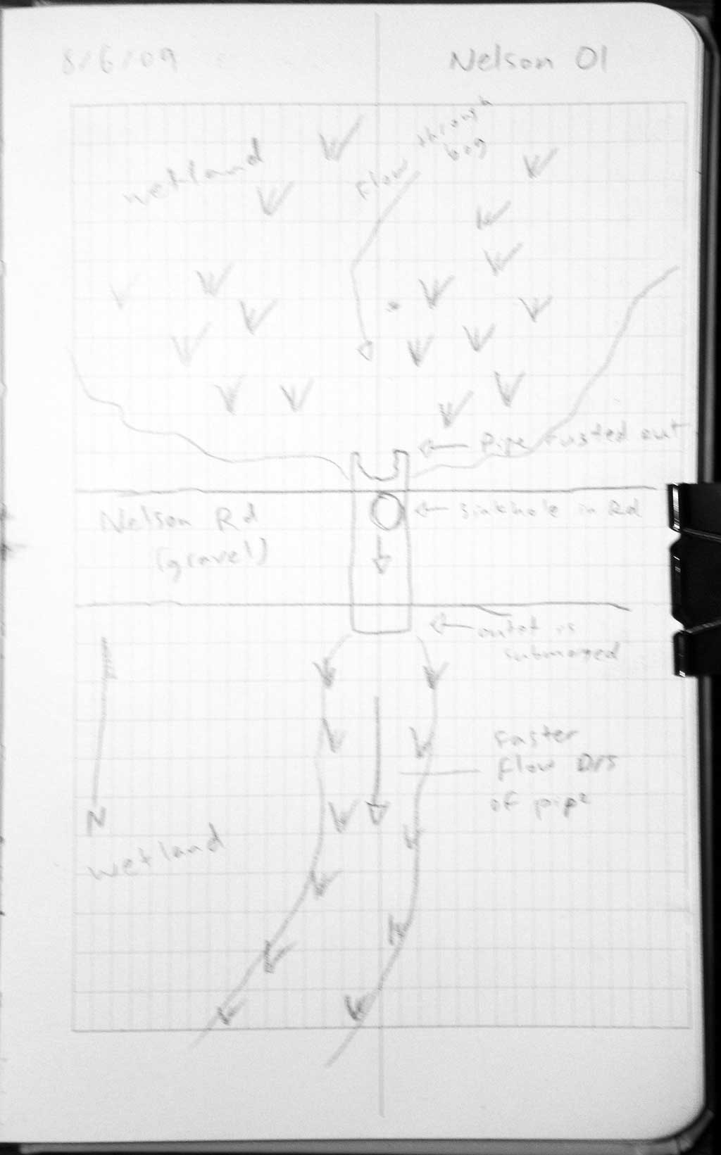
Road Name: Nelson Road
Datum: WGS84
Quad Name / ITM: Anchorage C-7
AWC Stream #:
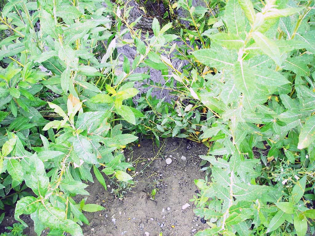
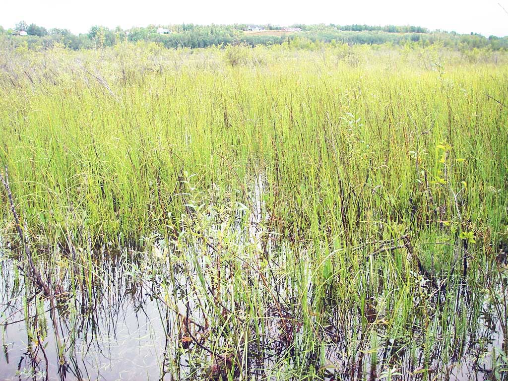
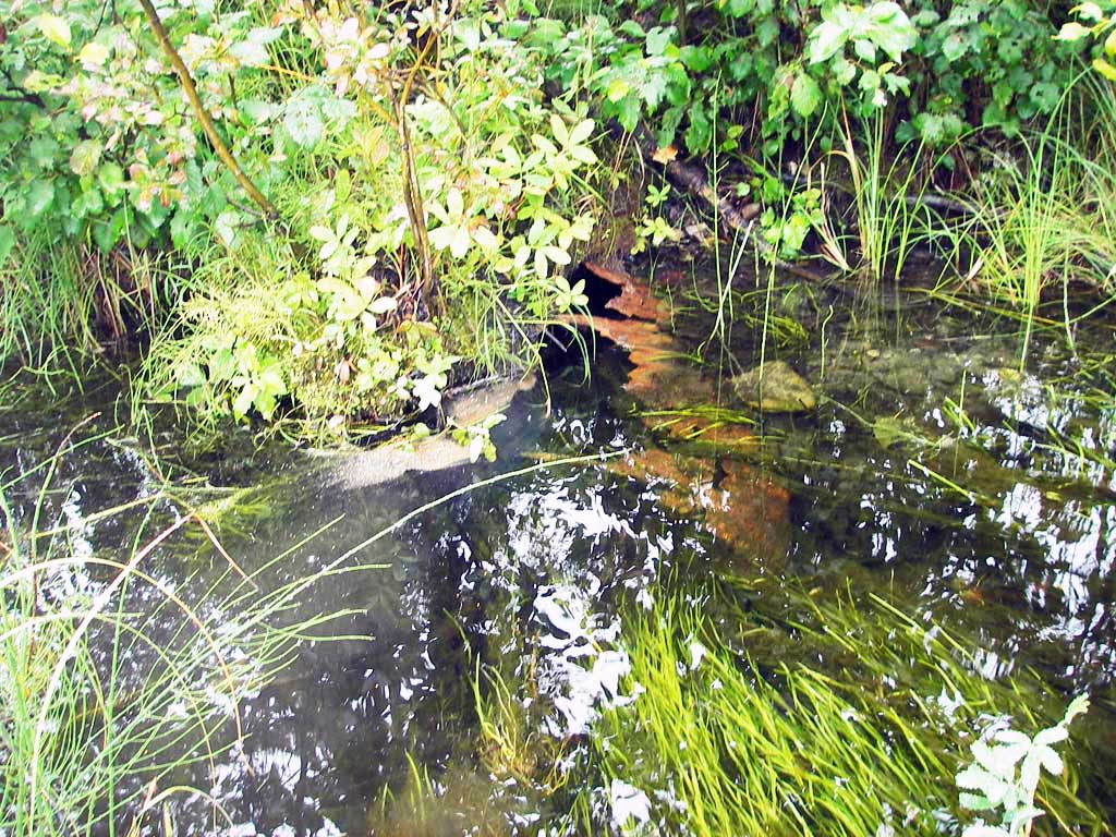
Stream Name: Spring Creek
Elevation:
Site Comments: None
arrow to the right of the survey date below to choose a different report for this site.
Survey MSB09-NEL01
Project Supervisor: Gillian O'Doherty, ADFG
Observers: Heidi Zimmer, Ben Histand
Overall Fish Passage Rating:
Tidal: No
Backwatered: No
Step Pools:
Construction Year:
Site Observations:
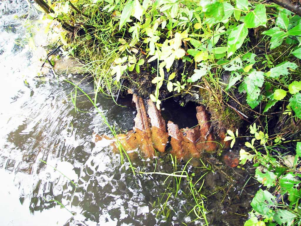
- Mechanical damage or joints parting
- Hydraulic flows exceeded capacity
- Sediment accumulation
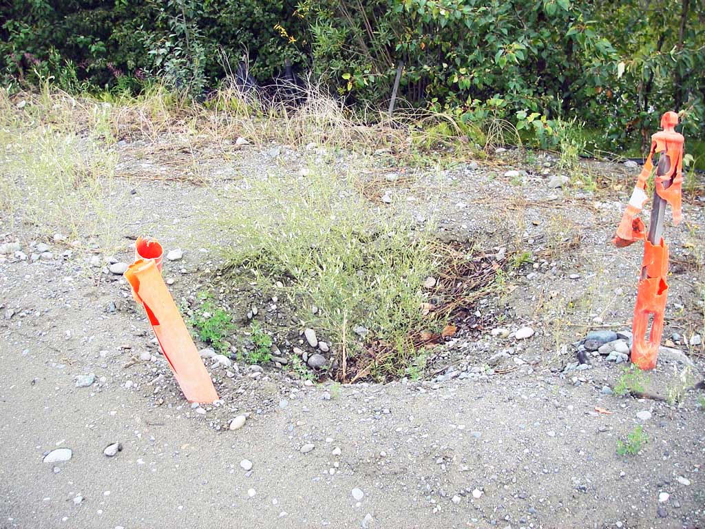
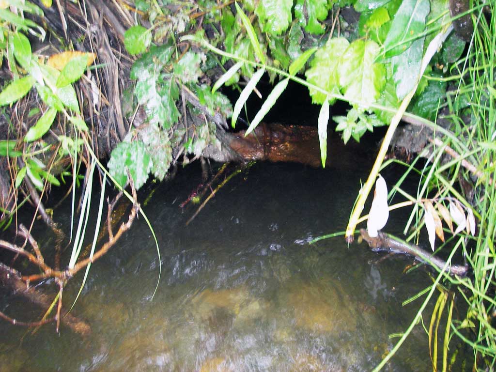
Comments: Rusted through & collapsing; sinkhole in u/s shoulder; TWC>inverts but HWS are not equal TWS so not backwatered. Pipe plugged?
Culvert Measurements
| ID: 1 | Structure Type: Circular pipe (Corrugated steel) | Fish Passage Rating: | |||||||||||||||||||||||||||||||||||||||||
|
|
|
|||||||||||||||||||||||||||||||||||||||||
Culvert Observations:
|
|||||||||||||||||||||||||||||||||||||||||||
Stream Measurements
|
|
No stream width data available.
Elevations
| Locator ID | Culvert Number |
River Distance (ft)1 |
Distance From Crossing (ft)2 |
Relative Elevation (ft) |
|---|---|---|---|---|
| Inlet Road Edge (bottom of sinkhole) | 1 | 96.34 | ||
| Road Elev | 1 | 99.52 | ||
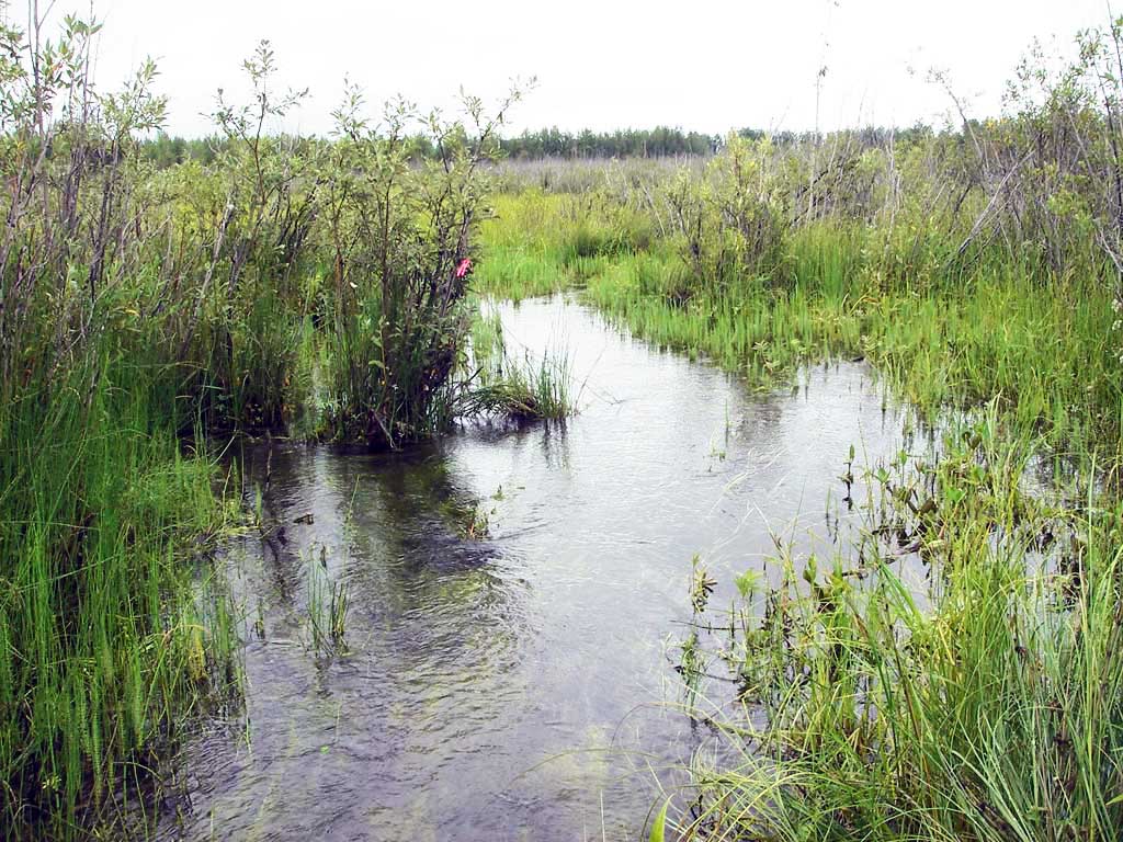
| D/S Water Surface Elev (d/s WS (where current fans out into wetland) | 1 | 0.00 | 50.0 | 95.56 |
| D/S Water Surface Elev | 1 | 45.50 | 4.5 | 95.70 |
| D/S Tailcrest or 1st Thalweg | 1 | 45.50 | 4.5 | 94.95 |
| Outlet Pool Water Elev | 1 | 50.00 | 95.71 | |
| Outlet Invert (on substrate) | 1 | 50.00 | 0.0 | 94.21 |
| Inlet Culvert Invert | 1 | 99.00 | 0.0 | 93.57 |
| U/S Headwater | 1 | 99.00 | 96.07 |
Notes:
- River distance is measured continuously throughout the survey reach along the thalweg of the stream.
- Measured from each end of the crossing along the thalweg of the stream.
Fish Sampling Efforts
| Gear Type: Minnow Trap (A) | Trap Duration(h): 0.75 | |
| Comments: 30ft d/s | ||
| Gear Type: Minnow Trap (B) | Trap Duration(h): 0.75 | |
| Comments: no fish caught; 60ft u/s; sunk into aquatic vegetation | ||
| Gear Type: Visual Observation, Ground (A) | ||
| Comments: Visual observation of small salmonids upstream from culvert. | ||
Fish Observations
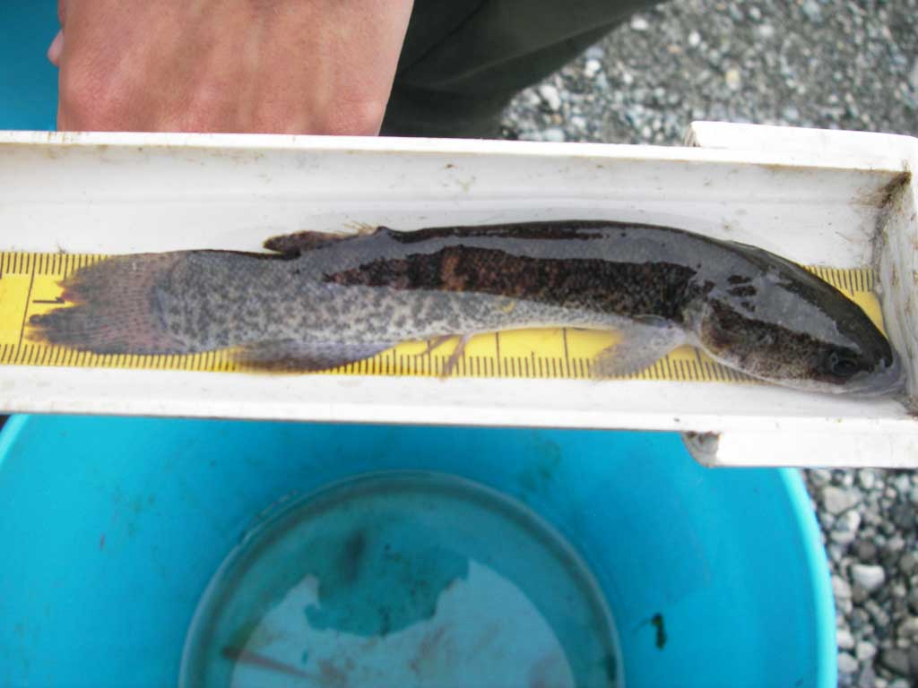
| Species: Alaska blackfish | Life History: Not Recorded | ||
| Total Fish Observed: 1 | Fish Measured: 1 | Fork Lengths (mm) Min: 120 Max: 120 Mean: 120 | |
| Collected/Observed by Gear Type: Upstream Visual Observation, Ground (1) Downstream Minnow Trap (1) | |||
| Species: juvenile coho salmon | Life History: Anadromous | ||
| Total Fish Observed: 1 | Fish Measured: 1 | Fork Lengths (mm) Min: 58 Max: 58 Mean: 58 | |
| Collected/Observed by Gear Type: Upstream Visual Observation, Ground (1) Downstream Minnow Trap (1) | |||
Photos
Questions or comments about this report can be directed to dfg.dsf.webmaster@alaska.gov