Fish Passage Site 20401198
Coordinates (dec. deg.): 61.58475°, -148.98727°
Legal Description: S017N003E07
Region: South Central
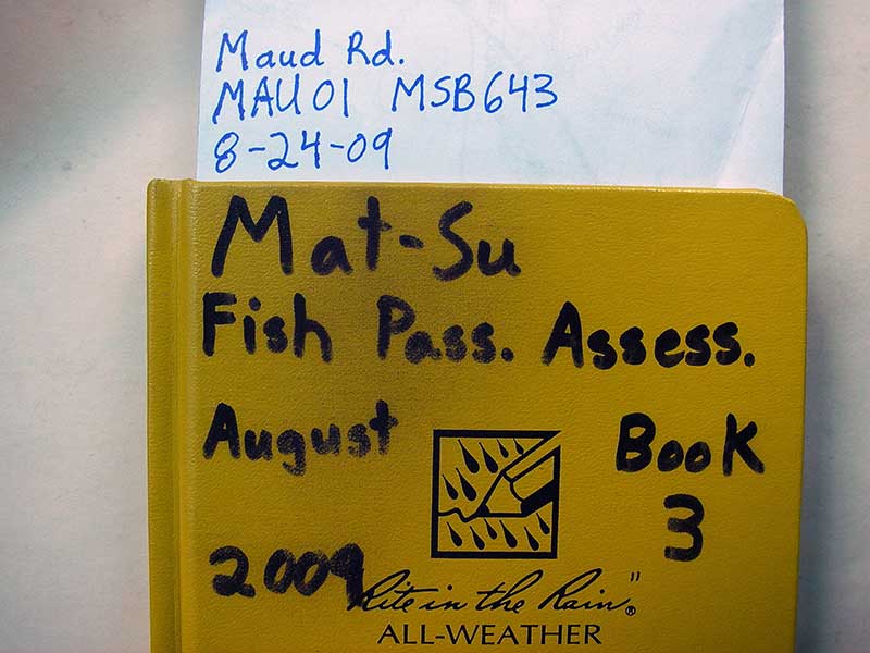
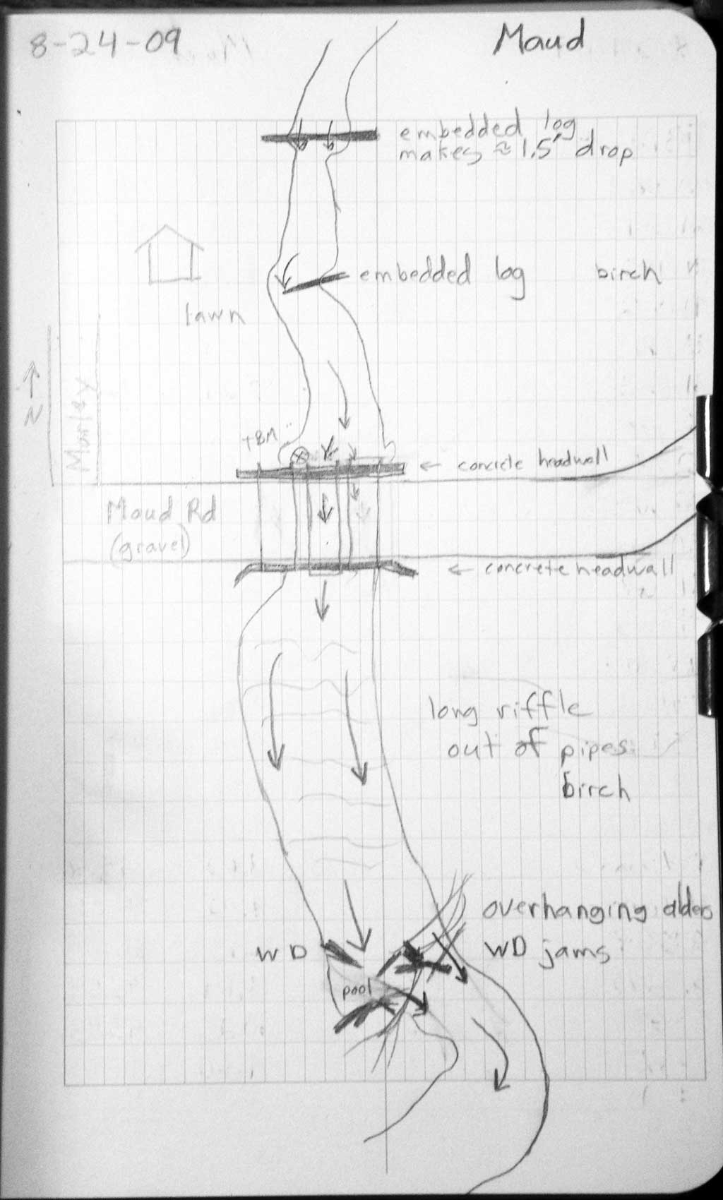
Road Name: Maud Road
Datum: WGS84
Quad Name / ITM: Anchorage C-6
AWC Stream #:
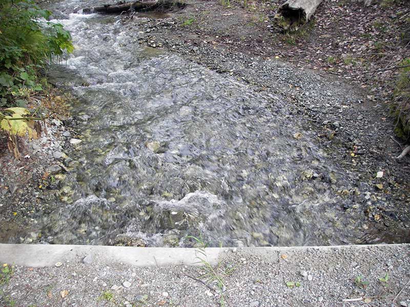
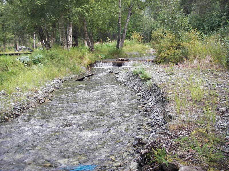
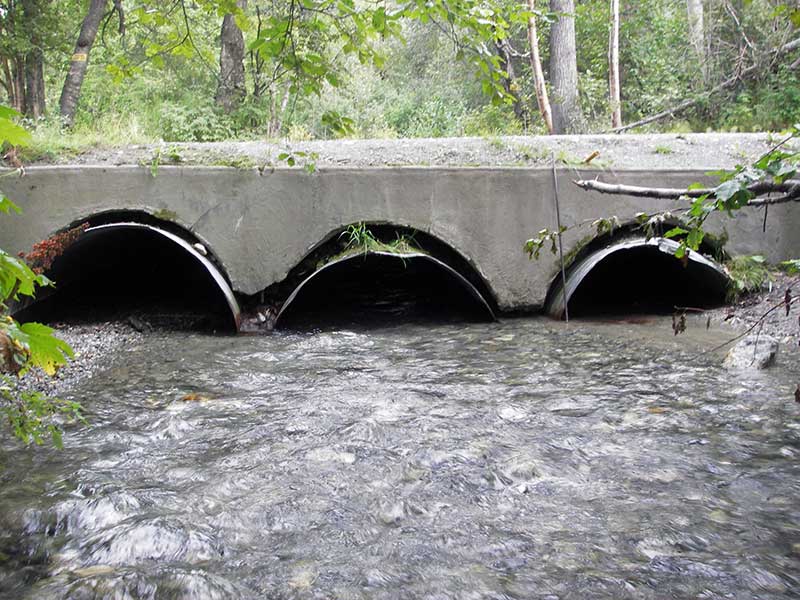
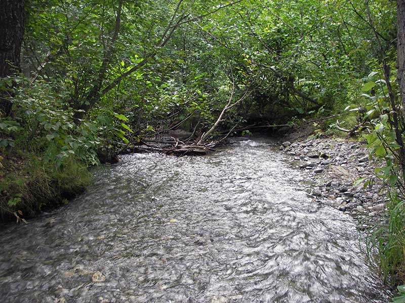
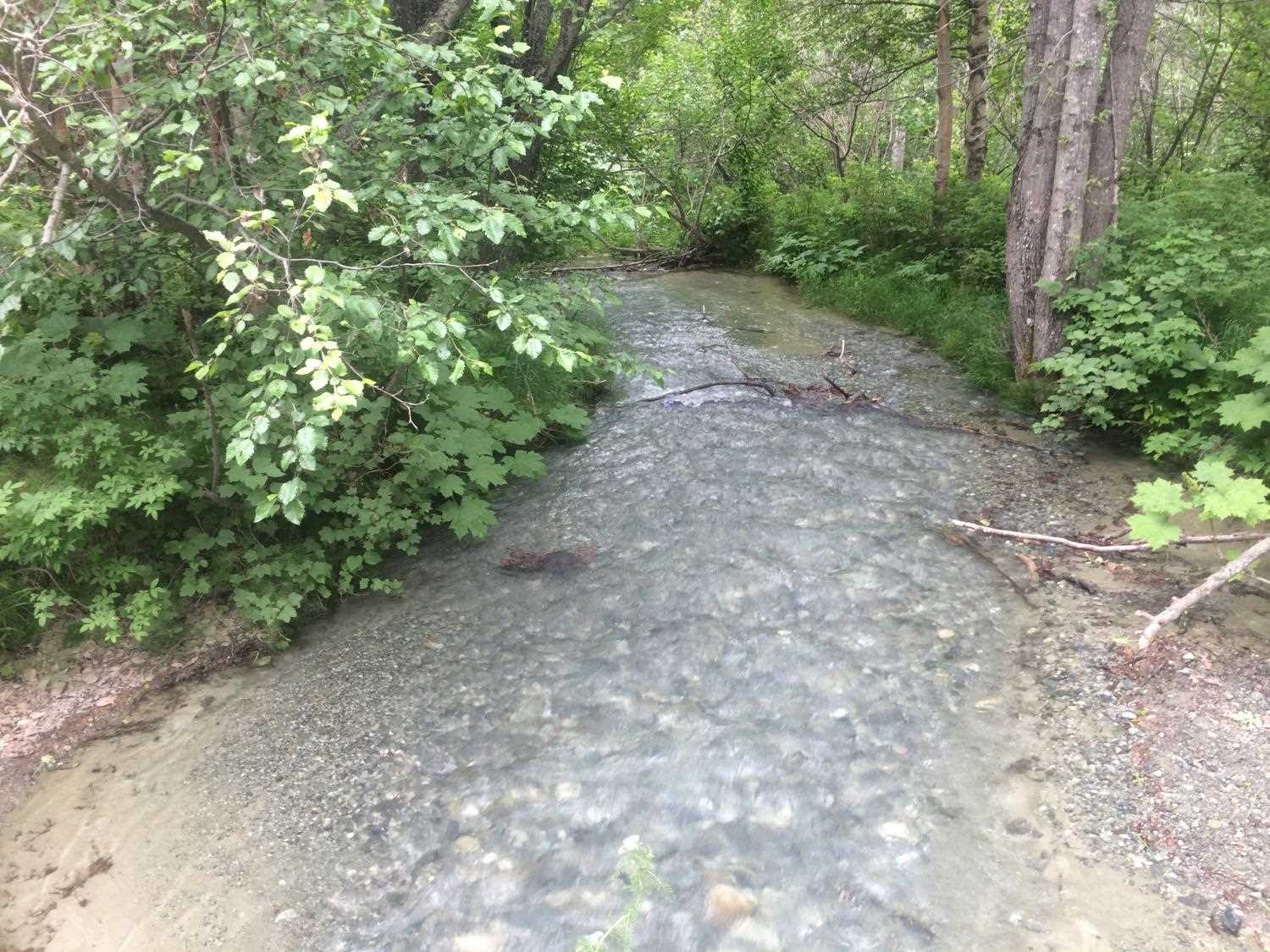
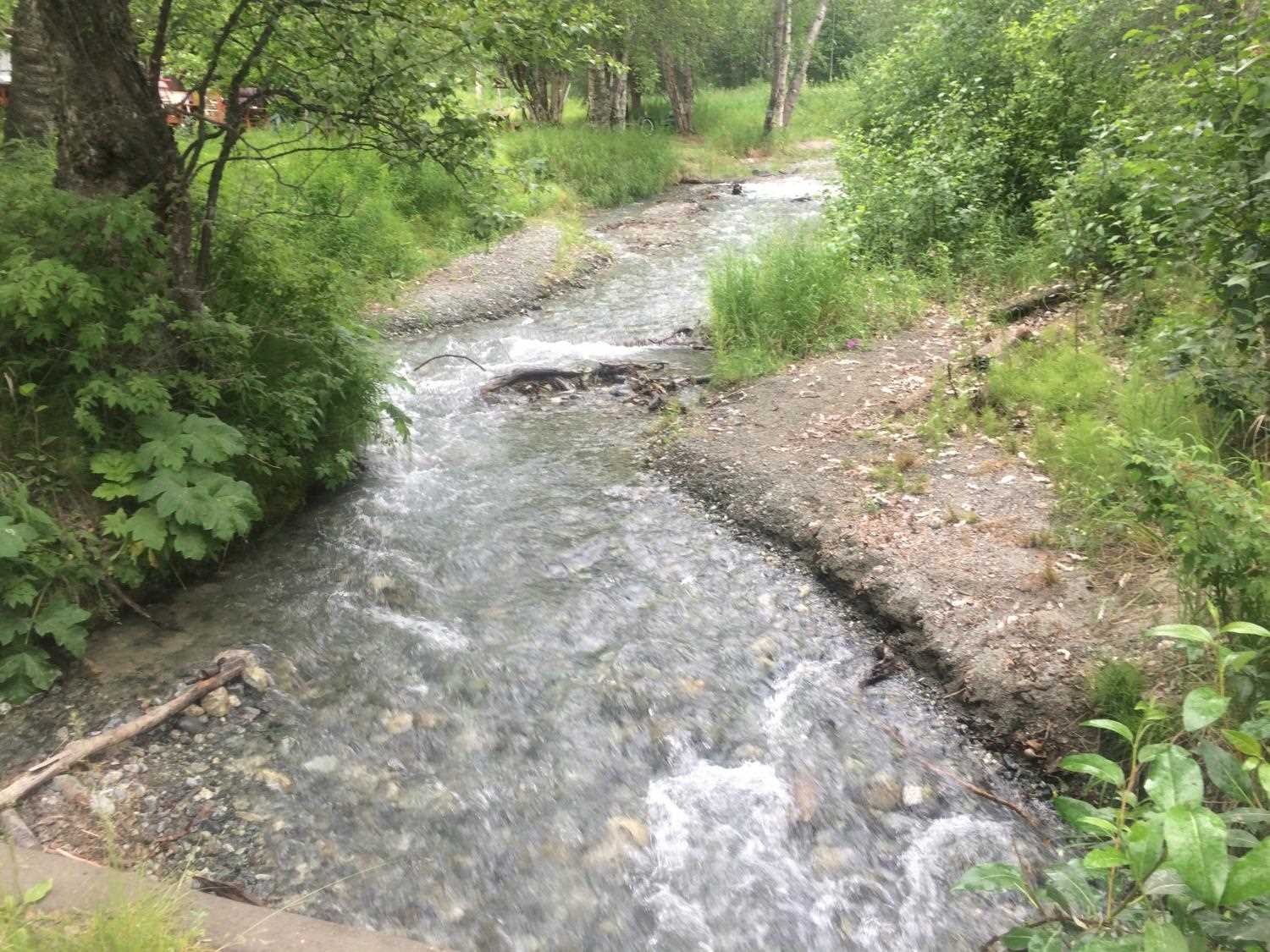
Stream Name: McRoberts Creek
Elevation:
Site Comments: DNR/ ADFG road to recreation area.
arrow to the right of the survey date below to choose a different report for this site.
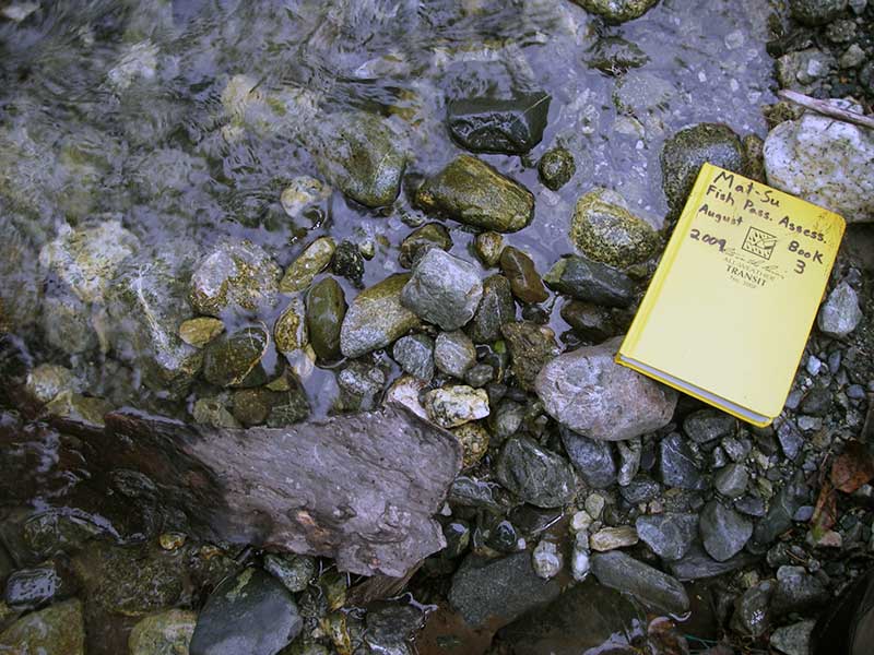
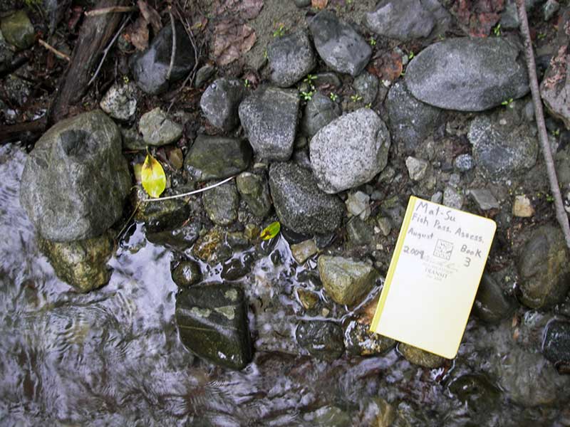
Survey MSB09-MAU01
Project Supervisor: Gillian O'Doherty, ADFG
Observers: Heidi Zimmer, Ben Histand
Overall Fish Passage Rating:
Tidal: No
Backwatered: No
Step Pools:
Construction Year:
Site Observations:
- Constriction ratio gray
- Inlet perch
- Woody Debris
- Sediment accumulation
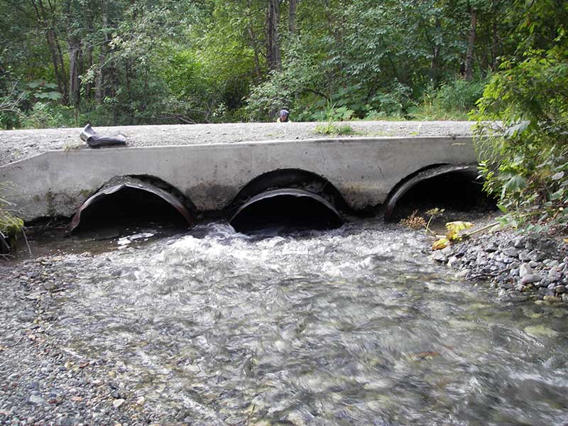
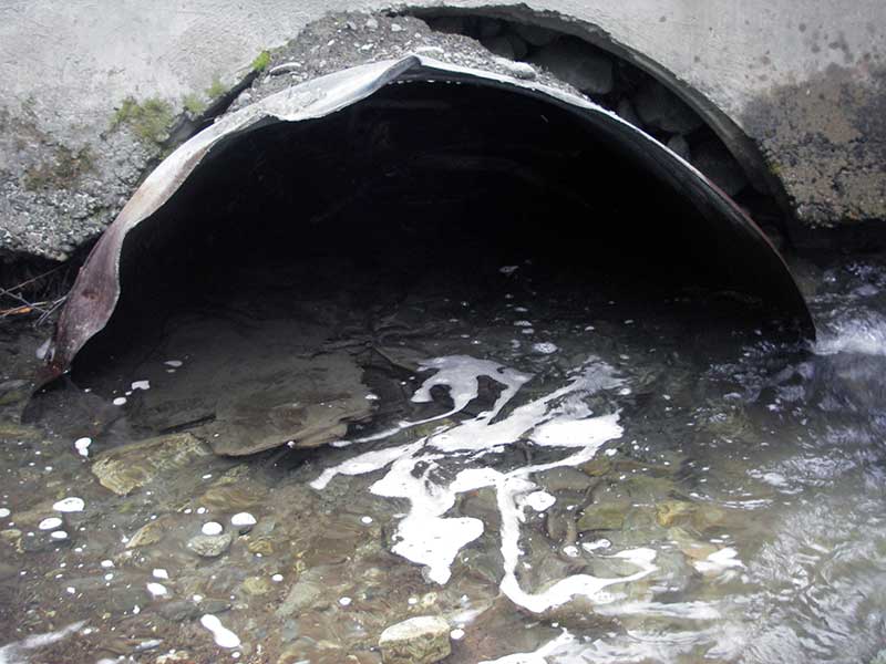
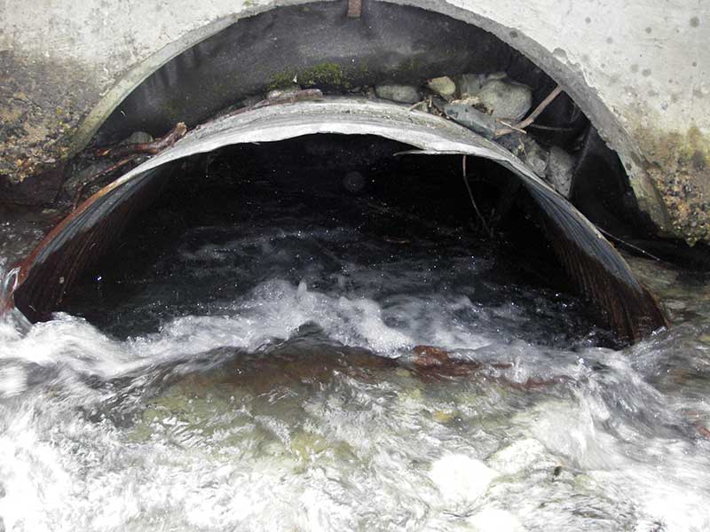
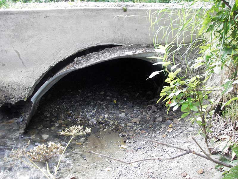
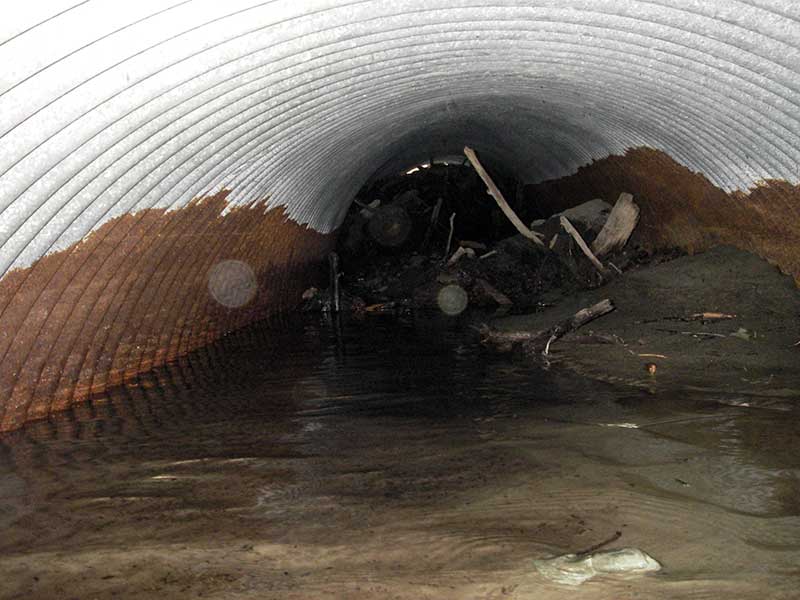
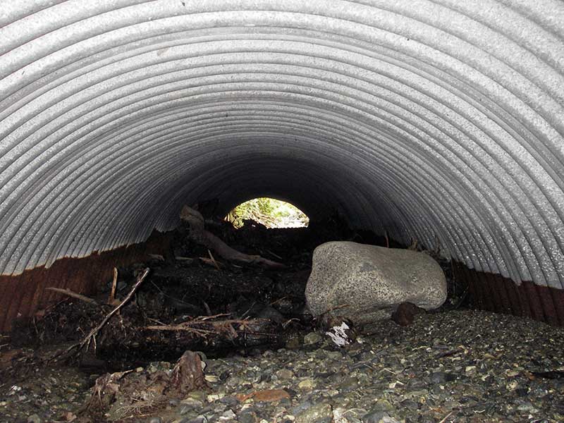
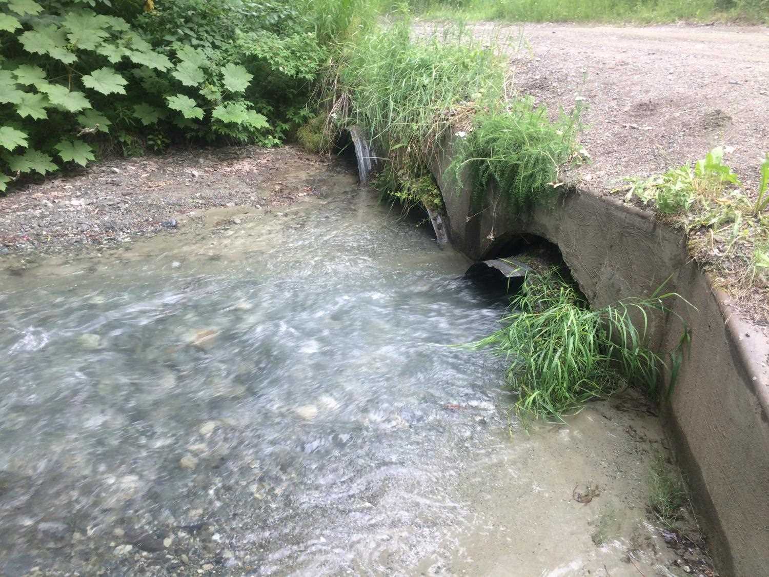
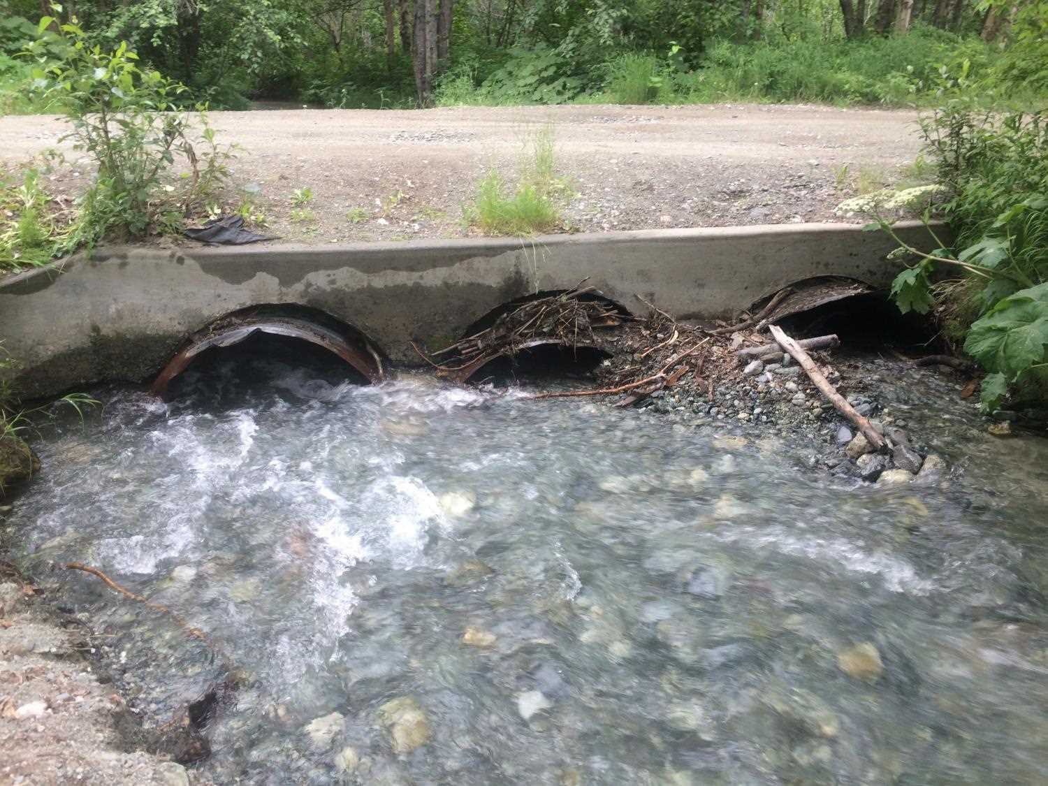
Comments: Pipes separating from headwall
Culvert Measurements
| ID: 1 | Structure Type: Open-bottom arch (Corrugated steel) | Fish Passage Rating: | |||||||||||||||||||||||||||||||||||||||||
|
|
|
|||||||||||||||||||||||||||||||||||||||||
Comments: Pipes separating from headwall; plugged; no flow |
|||||||||||||||||||||||||||||||||||||||||||
Culvert Observations:
|
|||||||||||||||||||||||||||||||||||||||||||
| ID: 2 | Structure Type: Open-bottom arch (Corrugated steel) | Fish Passage Rating: | |||||||||||||||||||||||||||||||||||||||||
|
|
|
|||||||||||||||||||||||||||||||||||||||||
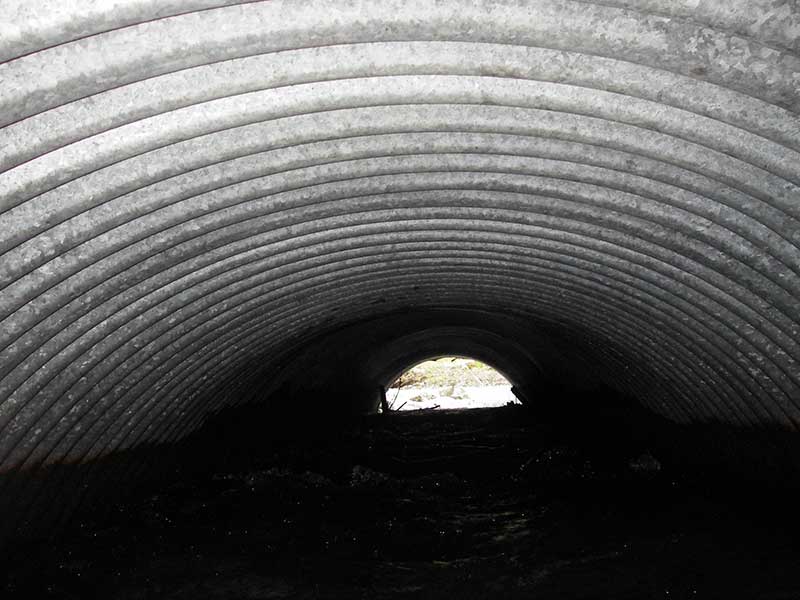
Comments: pipes separating from headwall; uniform riffle through pipe; pipe slope calc'd based on ws; |
|||||||||||||||||||||||||||||||||||||||||||
Culvert Observations:
|
|||||||||||||||||||||||||||||||||||||||||||
| ID: 3 | Structure Type: Open-bottom arch (Corrugated steel) | Fish Passage Rating: | |||||||||||||||||||||||||||||||||||||||||
|
|
|
|||||||||||||||||||||||||||||||||||||||||
Comments: pipes separating from headwall; plugged; pipe slope calc'd based on ws; |
|||||||||||||||||||||||||||||||||||||||||||
Culvert Observations:
|
|||||||||||||||||||||||||||||||||||||||||||
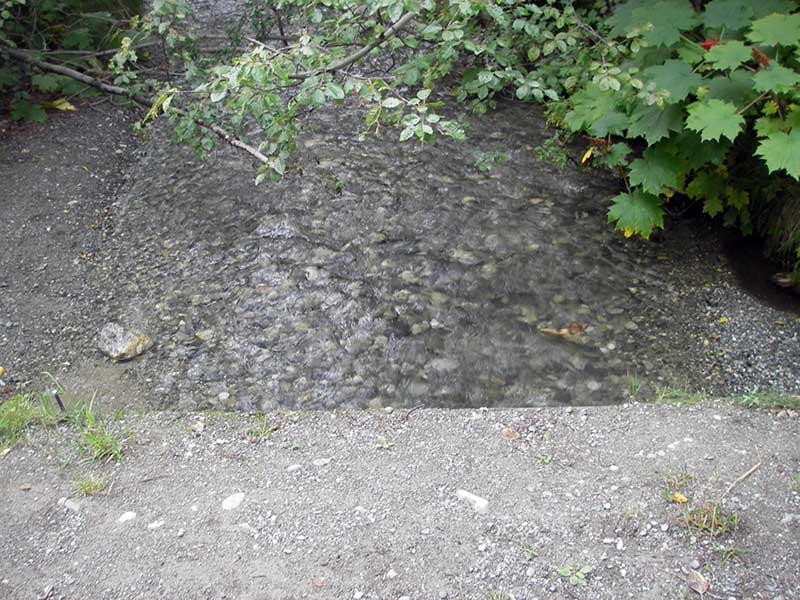
Stream Measurements
|
|
| Stream Width Type | Distance From Crossing (ft) |
Stream Width (ft) |
|---|---|---|
| Upstream ordinary high water | 54.0 | 11.50 |
| Upstream ordinary high water | 171.0 | 13.50 |
| Upstream ordinary high water | 200.0 | 10.00 |
Elevations
| Locator ID | Culvert Number |
River Distance (ft)1 |
Distance From Crossing (ft)2 |
Relative Elevation (ft) |
|---|---|---|---|---|
| Outlet Pool Water Elev (between pipes 2 and 3) | 2 | 95.56 | ||
| Outlet Pool Water Elev (between pipes 2 and 3) | 3 | 95.56 | ||
| Outlet Pool Water Elev | 1 | 95.57 | ||
| U/S Headwater (turbulent at end of pipe) | 2 | 96.56 | ||
| U/S Headwater | 3 | 96.97 | ||
| U/S Headwater (pool at side) | 1 | 96.99 | ||
| D/S Grade Ctrl (Thalweg) | 0.00 | 53.0 | 93.93 | |
| D/S Water Surface Elev (@GP) | 0.00 | 53.0 | 94.58 | |
| D/S Grade Ctrl (Thalweg) (1st GP for main flow) | 44.50 | 8.5 | 95.05 | |
| D/S Water Surface Elev (@GP) | 44.50 | 8.5 | 95.54 | |
| D/S Grade Ctrl (Thalweg) | 1 | 50.50 | 2.5 | 95.43 |
| D/S Water Surface Elev (@GP) | 1 | 50.50 | 2.5 | 95.57 |
| Outlet Invert | 3 | 53.00 | 0.0 | 95.16 |
| Outlet Invert | 1 | 53.00 | 0.0 | 95.36 |
| Outlet Invert | 2 | 53.00 | 0.0 | 94.69 |
| Inlet Culvert Invert | 2 | 83.40 | 0.0 | 95.94 |
| Inlet Culvert Invert | 3 | 83.50 | 0.0 | 96.62 |
| Inlet Culvert Invert | 1 | 83.60 | 0.0 | 95.81 |
| U/S Thalweg | 89.50 | 6.0 | 96.68 | |
| U/S Grade Ctrl (Thalweg) (at embedded log) | 115.50 | 32.0 | 97.85 | |
| D/S Water Surface Elev | 115.50 | 32.0 | 98.39 | |
| Road Elev | 147.00 | 100.23 | ||
| U/S Thalweg (bottom of plunge over big log) | 173.50 | 90.0 | 98.91 | |
| U/S Grade Ctrl (Thalweg) (top of big embedded log) | 174.50 | 91.0 | 101.71 | |
| D/S Water Surface Elev (@GP) | 174.50 | 91.0 | 102.11 | |
| U/S Grade Ctrl (Thalweg) (u/s on embedded log) | 215.60 | 132.0 | 104.00 | |
| D/S Water Surface Elev (@GP) | 215.60 | 132.0 | 104.25 |
Notes:
- River distance is measured continuously throughout the survey reach along the thalweg of the stream.
- Measured from each end of the crossing along the thalweg of the stream.
Fish Sampling Efforts
No fish sampling occurred during this survey.
Fish Observations
No fish observations occurred during this survey.
Photos

Questions or comments about this report can be directed to dfg.dsf.webmaster@alaska.gov