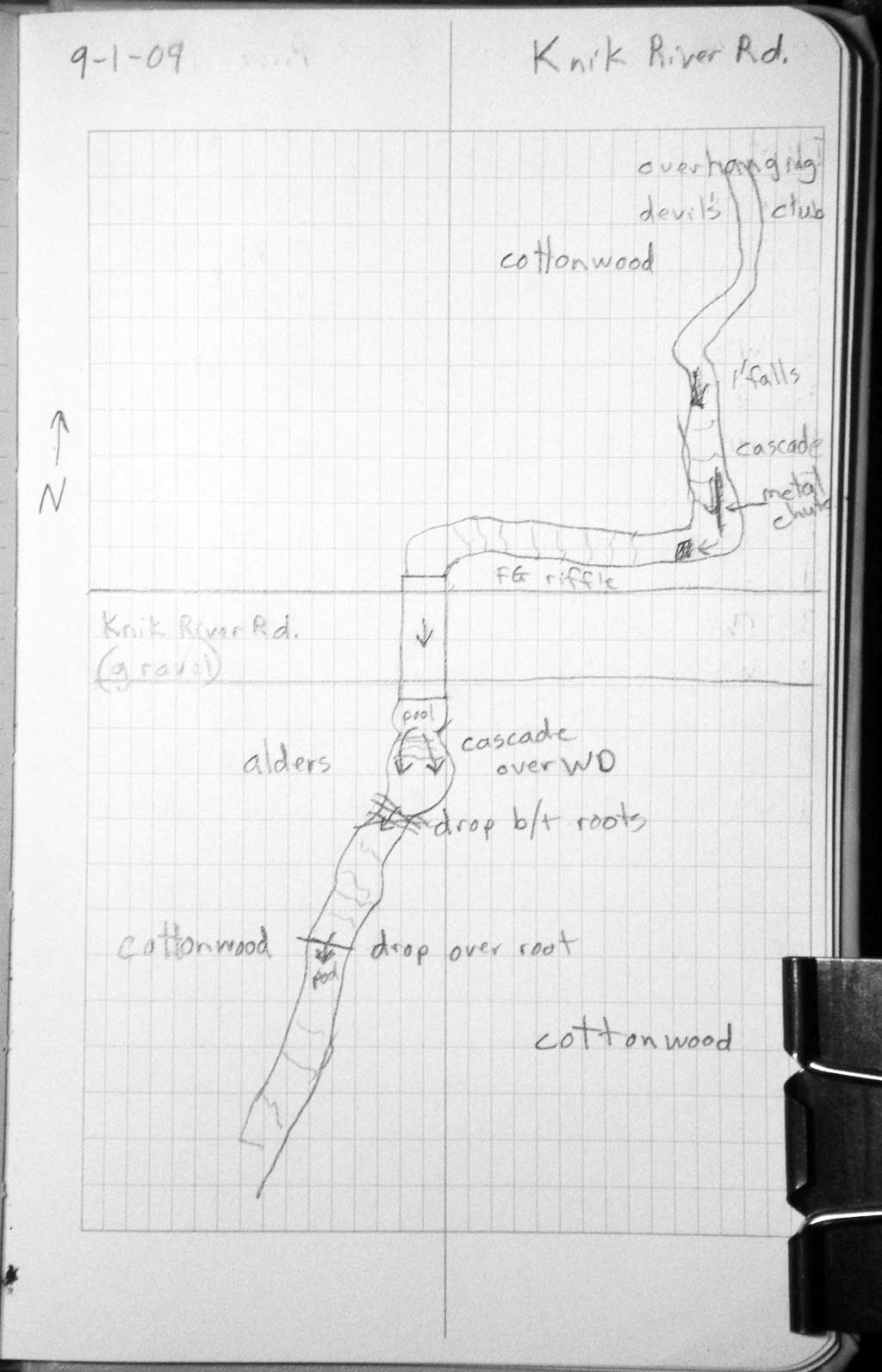
Fish Passage Site 20401191
Coordinates (dec. deg.): 61.43481°, -148.78177°
Legal Description: S016N004E32
Region: South Central
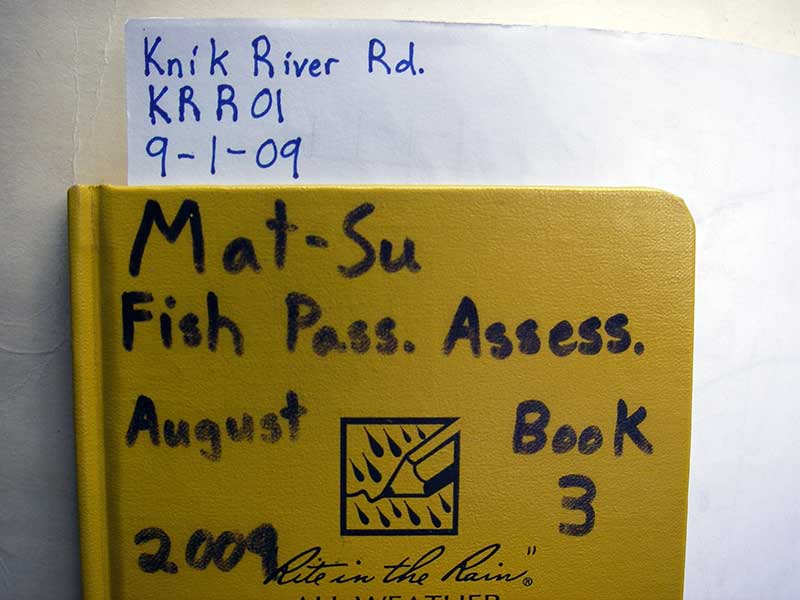
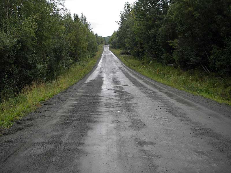
Road Name: Knik River Road
Datum: WGS84
Quad Name / ITM: Anchorage B-5
AWC Stream #:
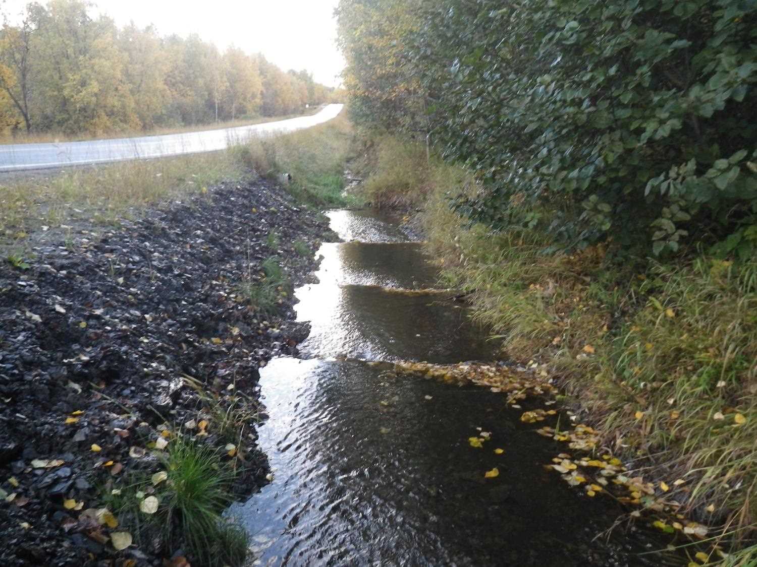
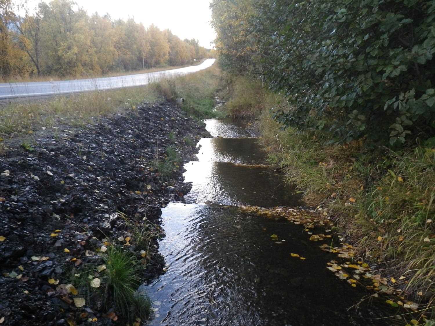
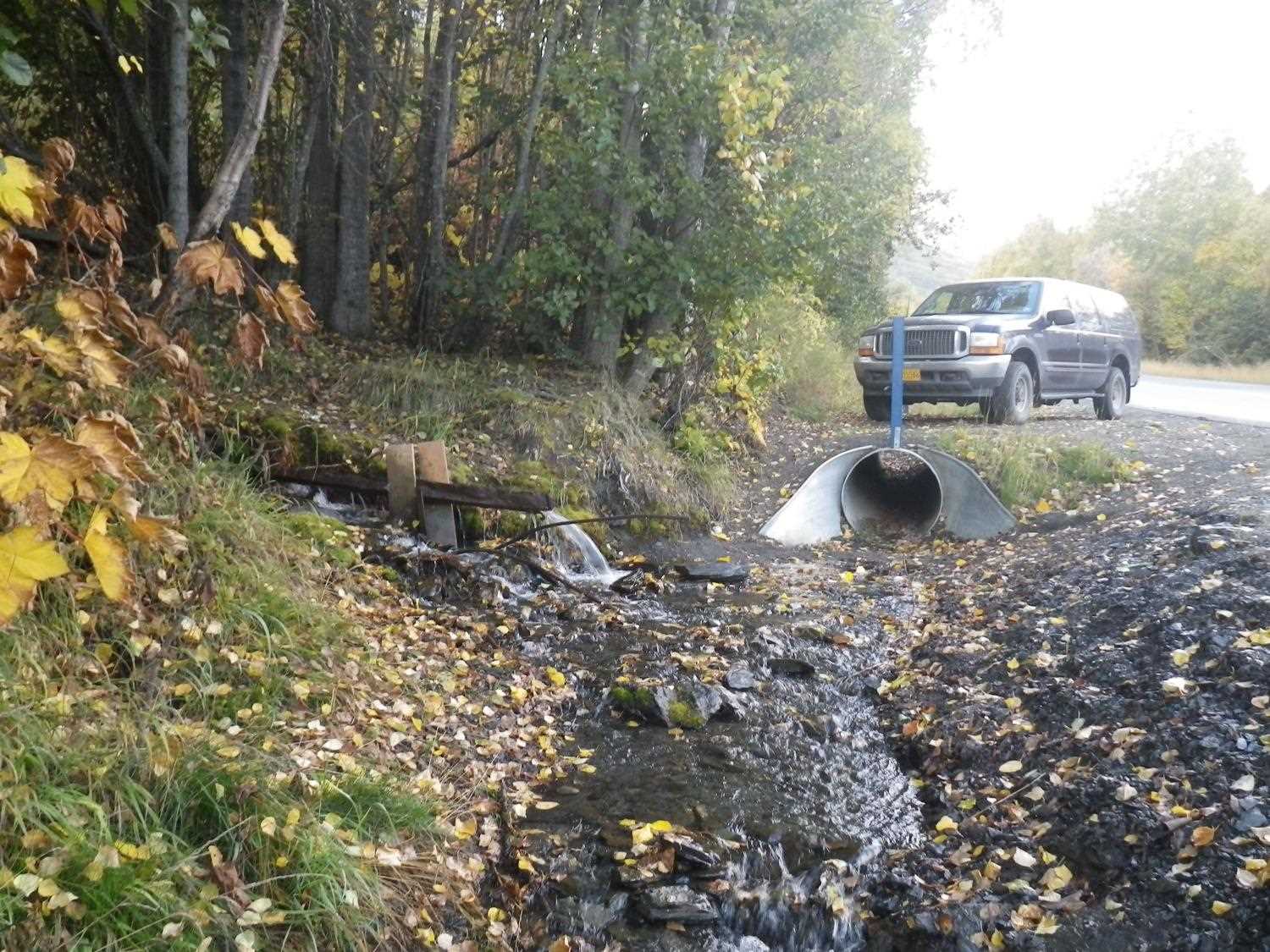
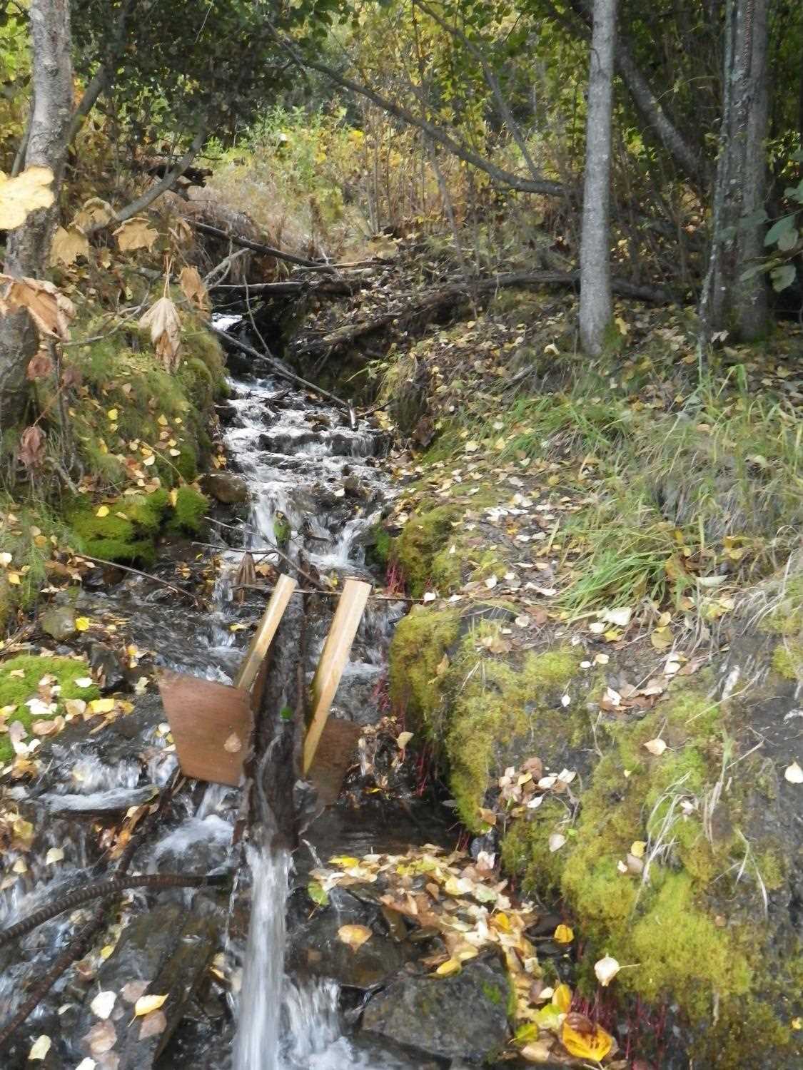
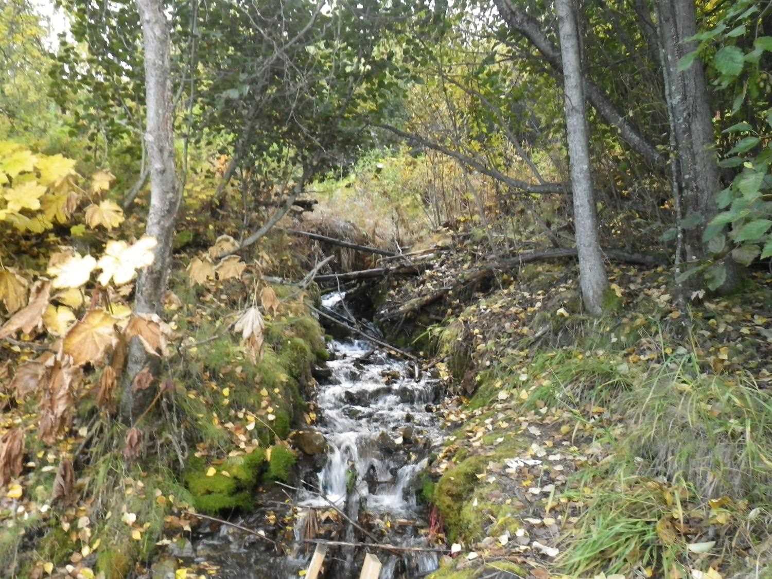
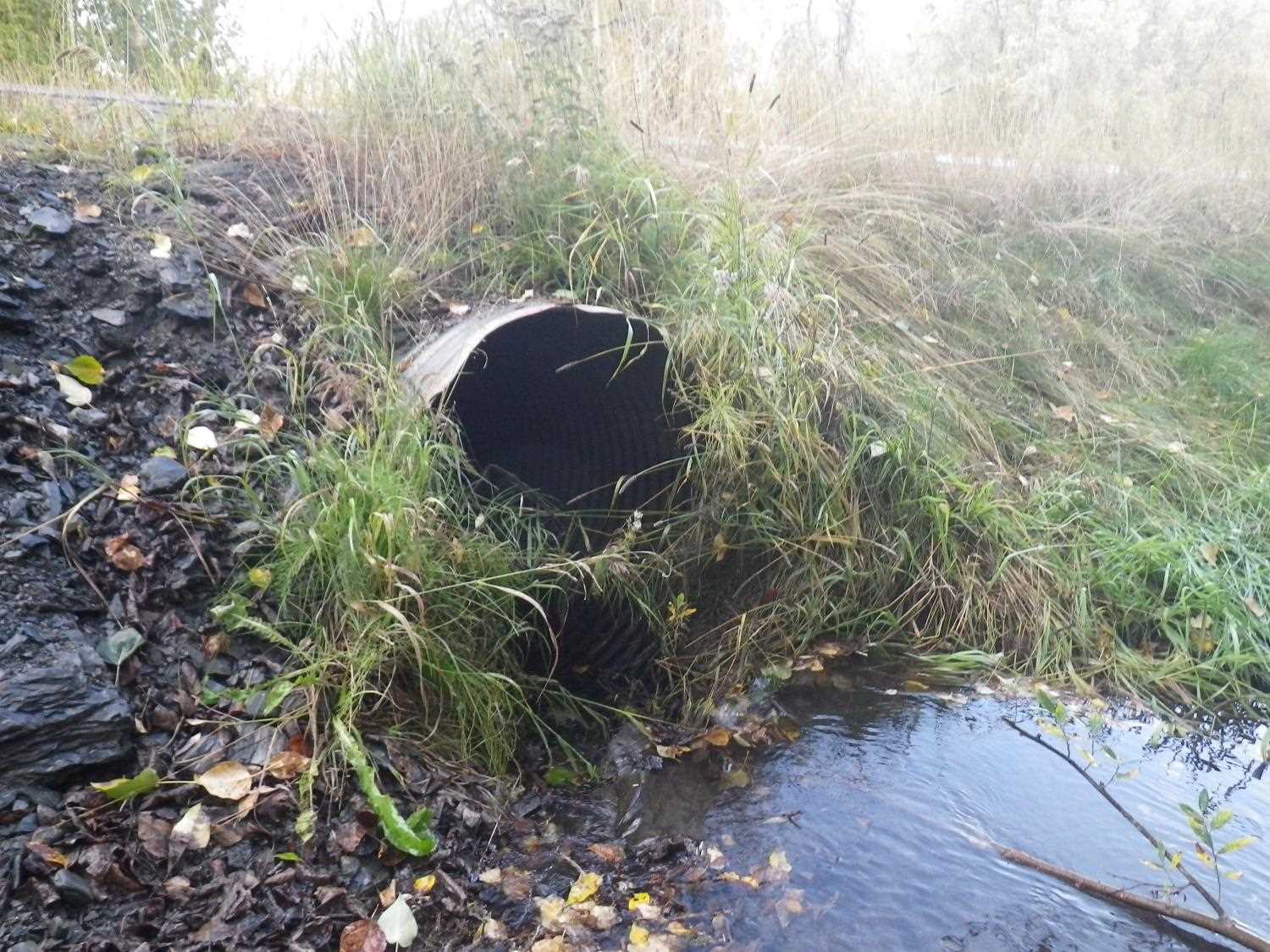
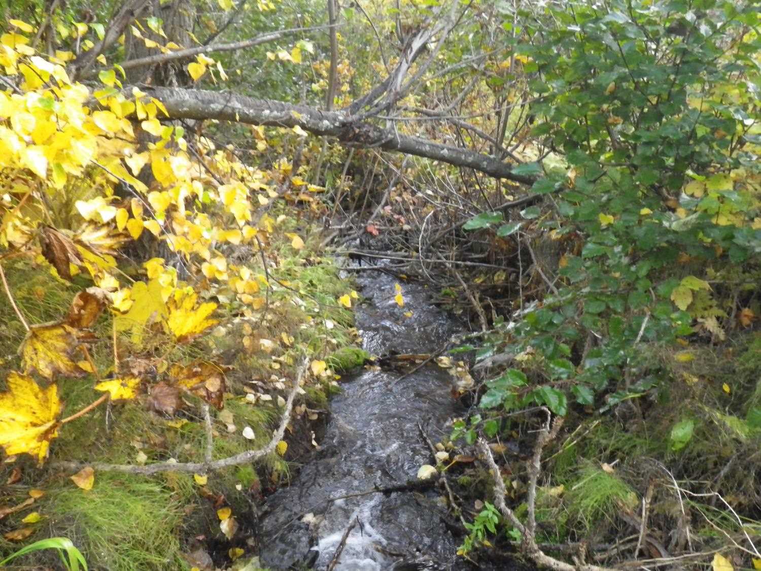
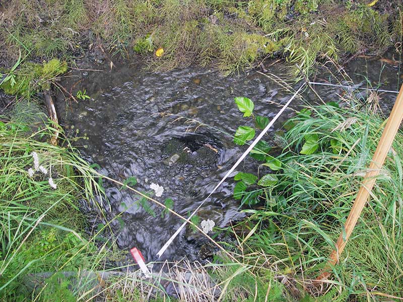
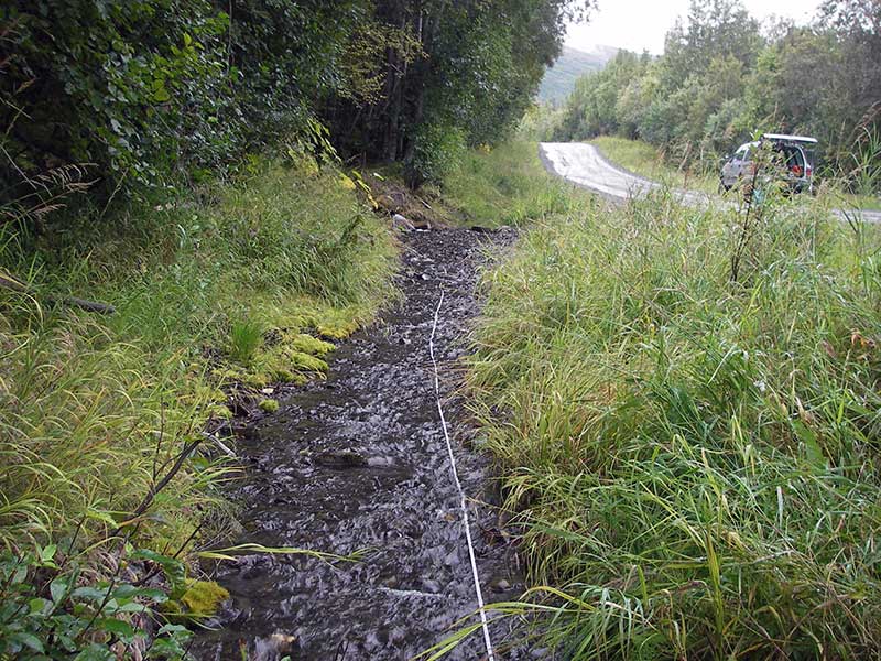
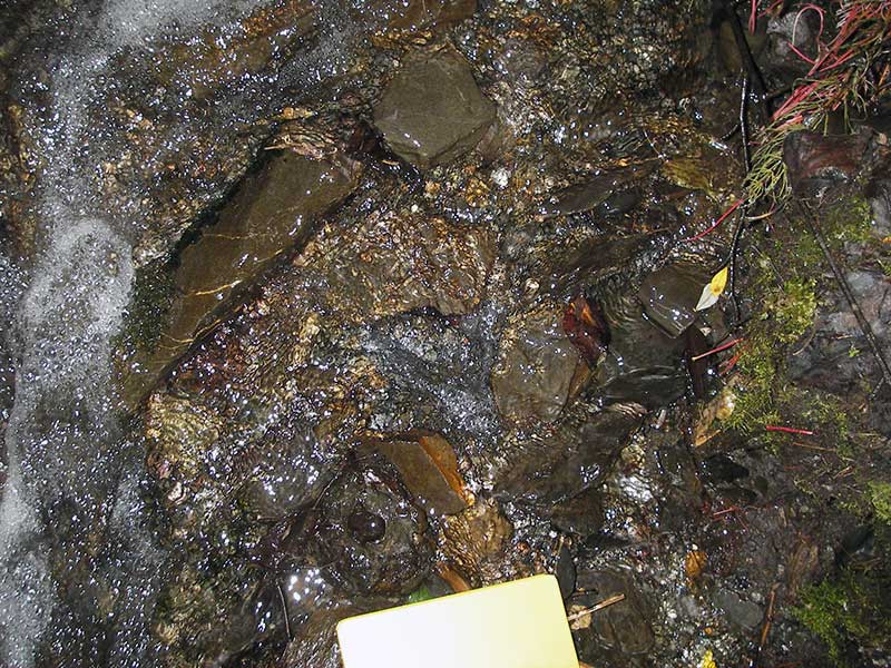
Stream Name: Friday Creek tributary
Elevation:
Site Comments: None
arrow to the right of the survey date below to choose a different report for this site.
Survey MSB09-KRR01
Project Supervisor: Gillian O'Doherty, ADFG
Observers: Heidi Zimmer, Ben Histand
Overall Fish Passage Rating:
Tidal: No
Backwatered: No
Step Pools: No
Construction Year:
Site Observations:
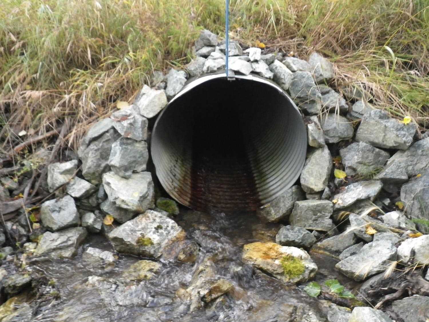
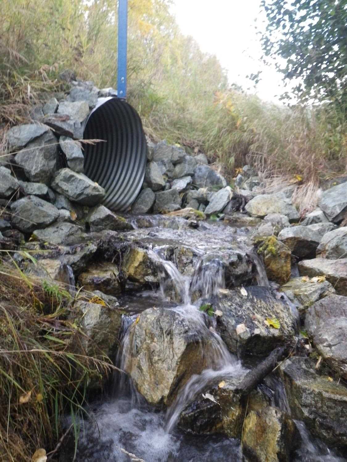
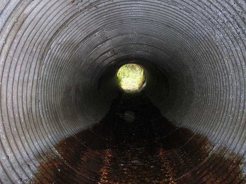
- Culvert gradient red
- Outfall height gray
- Constriction ratio gray
- Culvert sagging in middle
- Culvert is poorly aligned
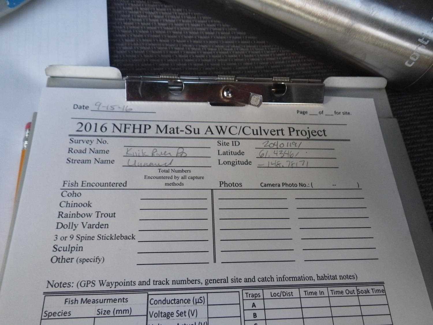
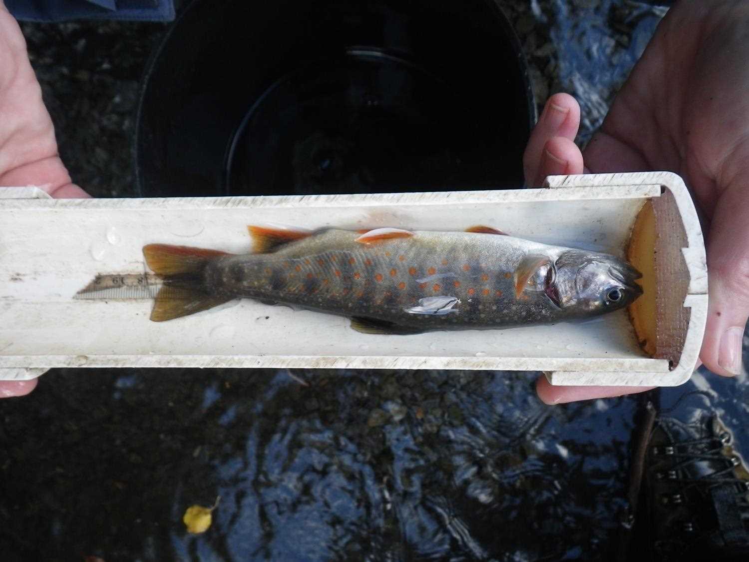
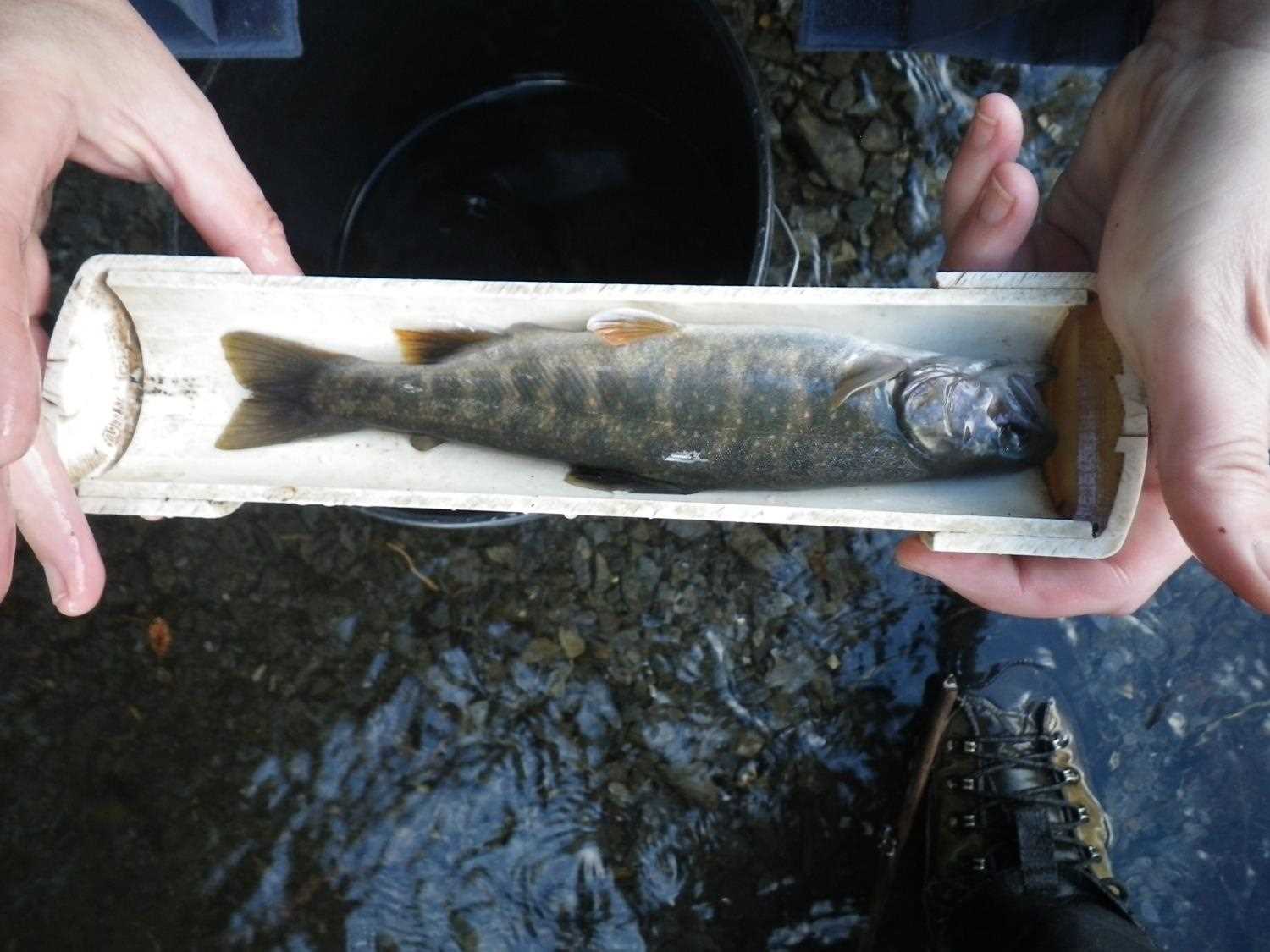
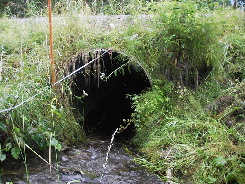
Comments: Photos and fish capture data added from 9/15/16 site visit for Sampling Unmapped Streams in the MSB project.
Culvert Measurements
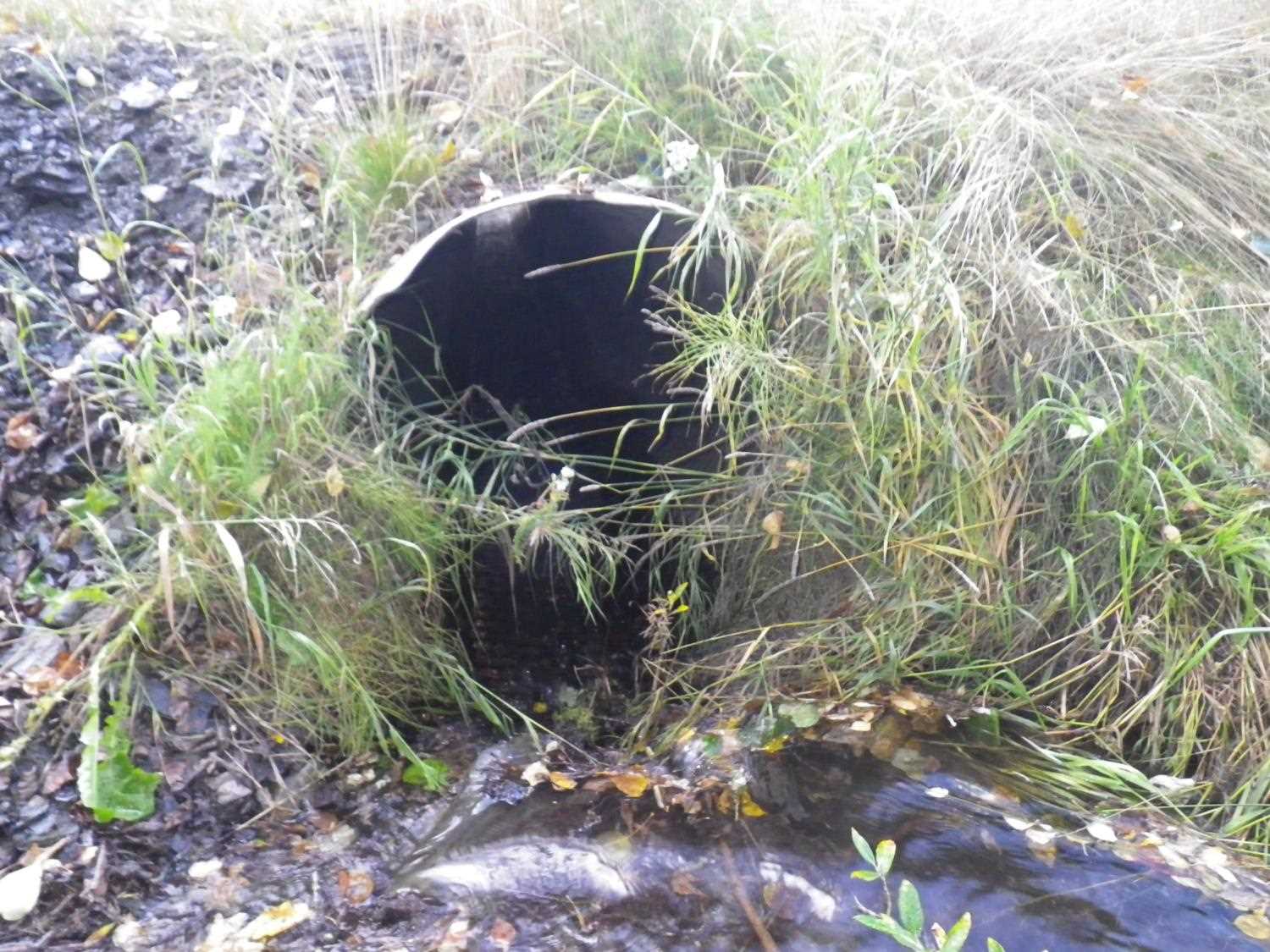
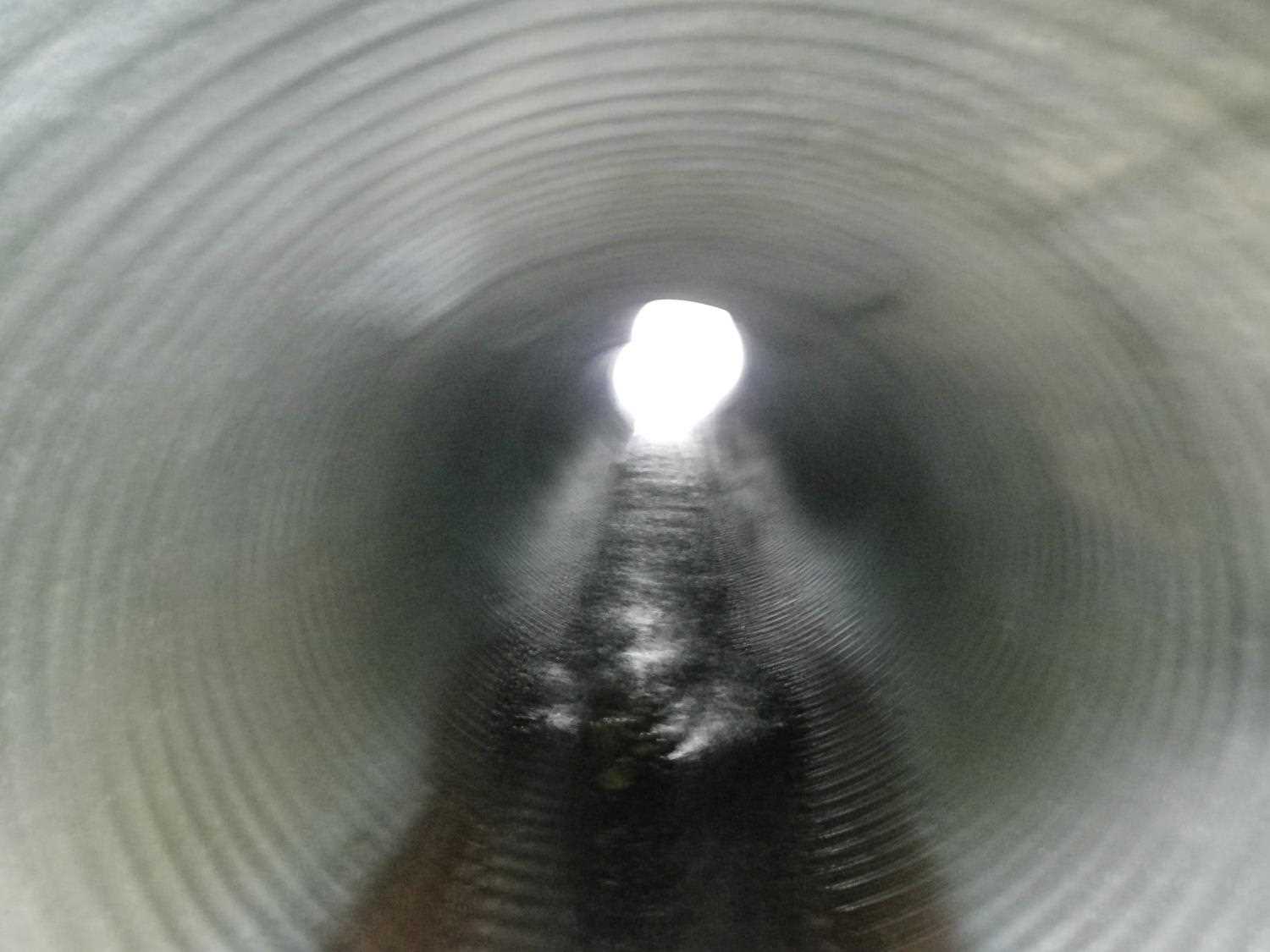
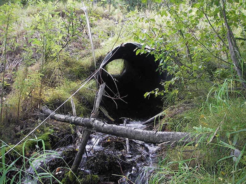
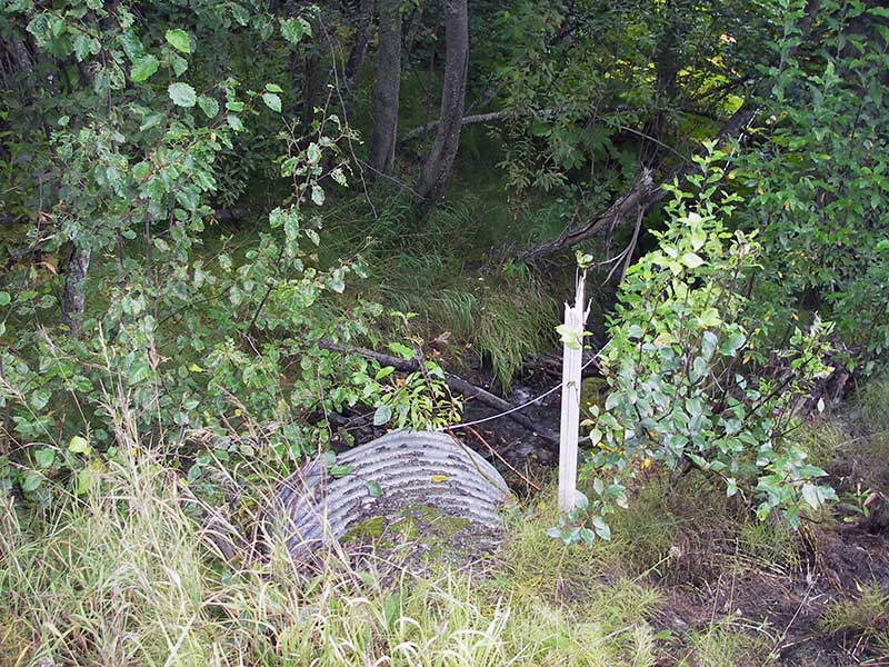
| ID: 1 | Structure Type: Circular pipe (Structural steel plate) | Fish Passage Rating: | |||||||||||||||||||||||||||||||||||||||||
|
|
|
|||||||||||||||||||||||||||||||||||||||||
Culvert Observations:
|
|||||||||||||||||||||||||||||||||||||||||||
Stream Measurements
|
|
| Stream Width Type | Distance From Crossing (ft) |
Stream Width (ft) |
|---|---|---|
| Downstream ordinary high water | 20.0 | 5.00 |
| Downstream ordinary high water | 60.0 | 6.50 |
| Upstream ordinary high water | 130.0 | 5.00 |
Elevations
| Locator ID | Culvert Number |
River Distance (ft)1 |
Distance From Crossing (ft)2 |
Relative Elevation (ft) |
|---|---|---|---|---|
| Outlet Pool Water Elev (WS of outlet pool) | 1 | 95.75 | ||
| U/S Headwater | 1 | 99.94 | ||
| D/S Grade Ctrl (Thalweg) | 1 | 0.00 | 8.0 | 93.54 |
| D/S Water Surface Elev (@GP) | 1 | 0.00 | 8.0 | 93.78 |
| D/S Water Surface Elev (@TWC) | 1 | 4.70 | 3.3 | 95.75 |
| D/S Tailcrest or 1st Thalweg | 1 | 4.70 | 3.3 | 95.47 |
| D/S Thalweg (bottom of out pool) | 1 | 6.70 | 1.3 | 95.17 |
| D/S Thalweg | 1 | 8.00 | 0.0 | 95.34 |
| Outlet Invert | 1 | 8.00 | 0.0 | 95.84 |
| Road Elev | 1 | 28.00 | 105.01 | |
| Inlet Culvert Invert | 1 | 48.40 | 0.0 | 99.60 |
| U/S Grade Ctrl (Thalweg) (1st TC u/s) | 1 | 50.60 | 2.2 | 99.79 |
| U/S Water Surface Elev | 1 | 50.60 | 2.2 | 99.98 |
Notes:
- River distance is measured continuously throughout the survey reach along the thalweg of the stream.
- Measured from each end of the crossing along the thalweg of the stream.
Fish Sampling Efforts
| Gear Type: Minnow Trap (A) | Trap Duration(h): 0.75 | |
| Comments: no fish caught; 75ft d/s | ||
| Gear Type: Minnow Trap (B) | Trap Duration(h): 0.75 | |
| Comments: no fish caught; 50ft d/s | ||
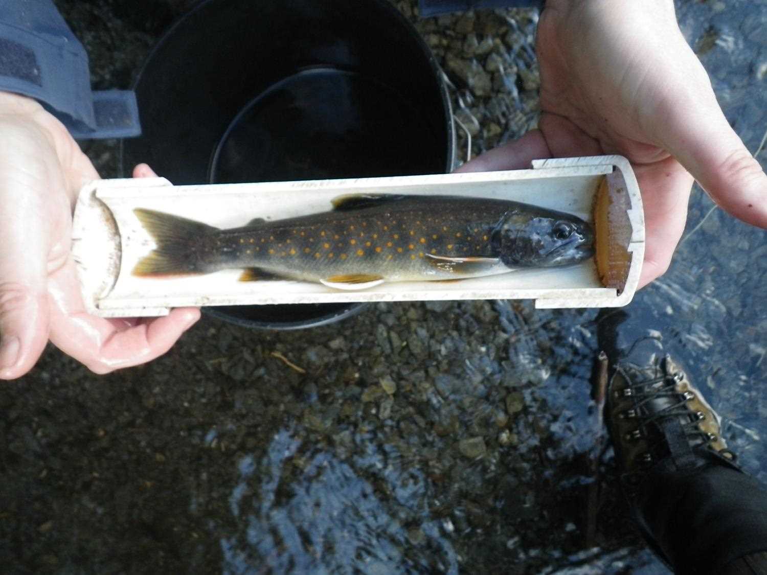
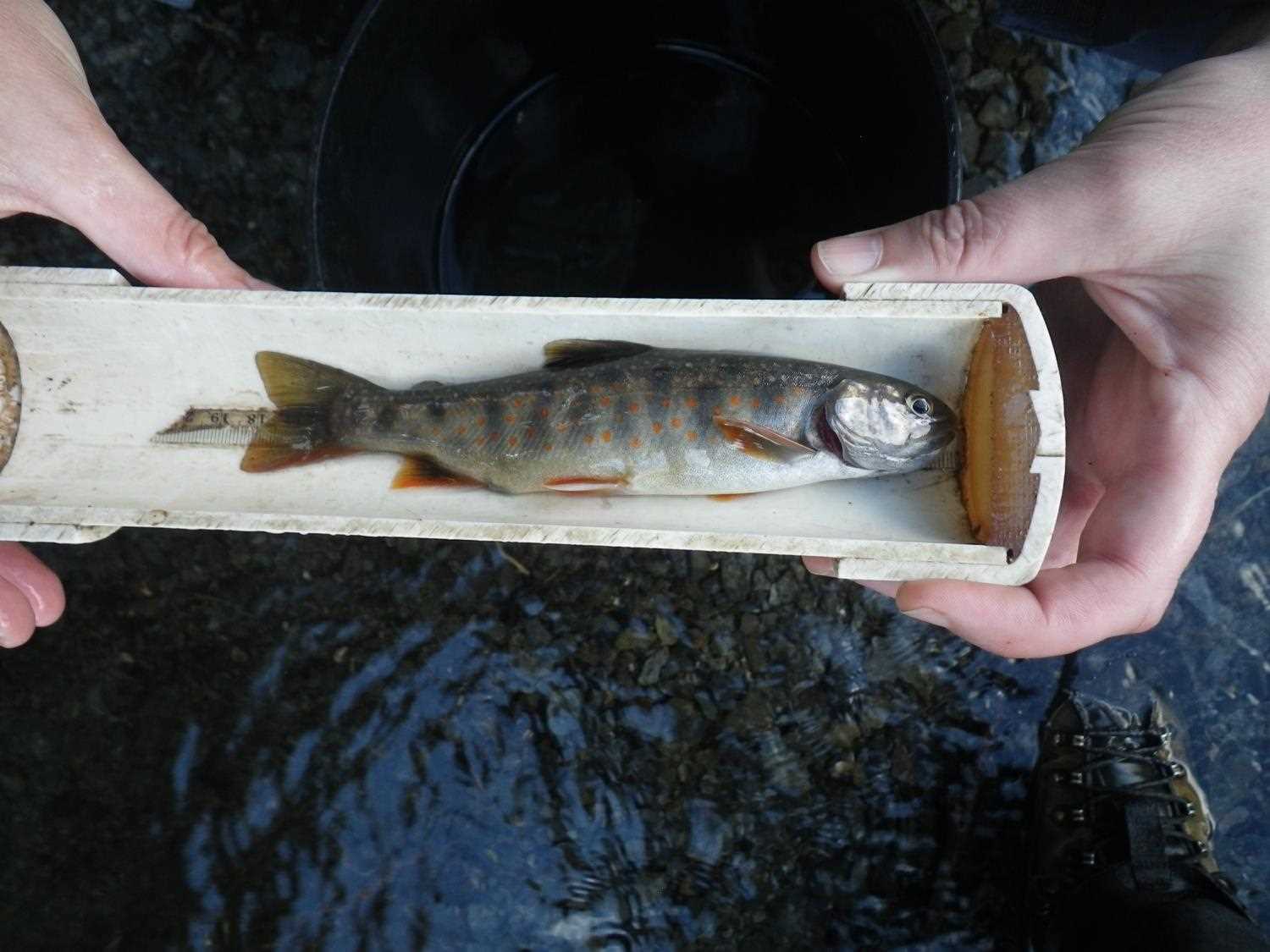
Fish Observations
No fish observations occurred during this survey.
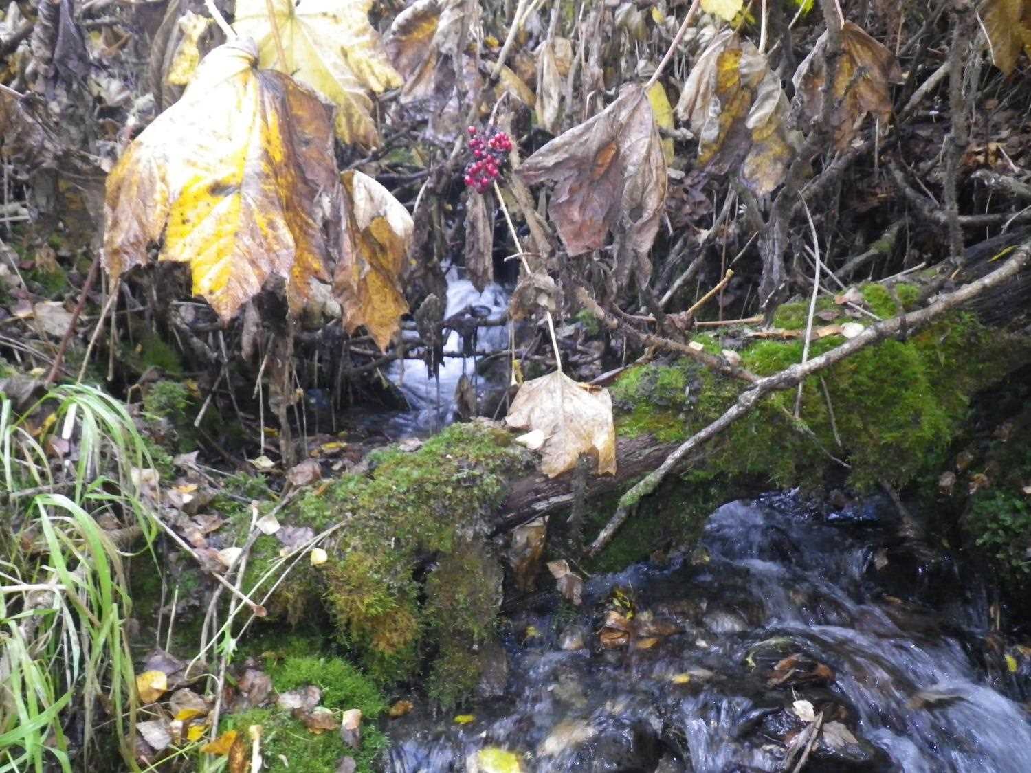
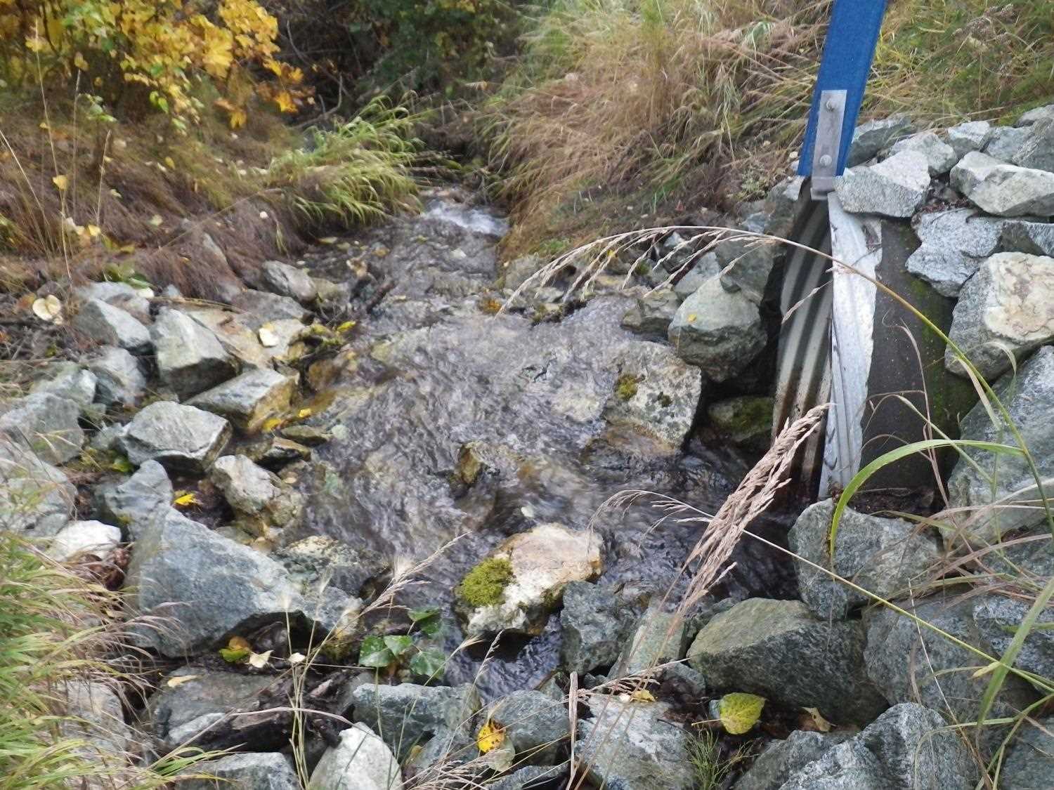
Photos


Questions or comments about this report can be directed to dfg.dsf.webmaster@alaska.gov