Fish Passage Site 20401171
Coordinates (dec. deg.): 61.71059°, -149.09010°
Legal Description: S019N002E28
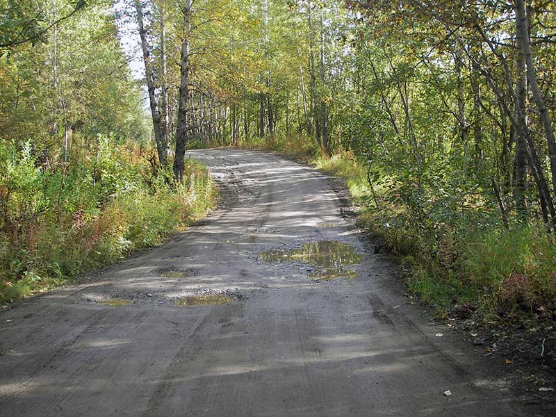
Region: South Central
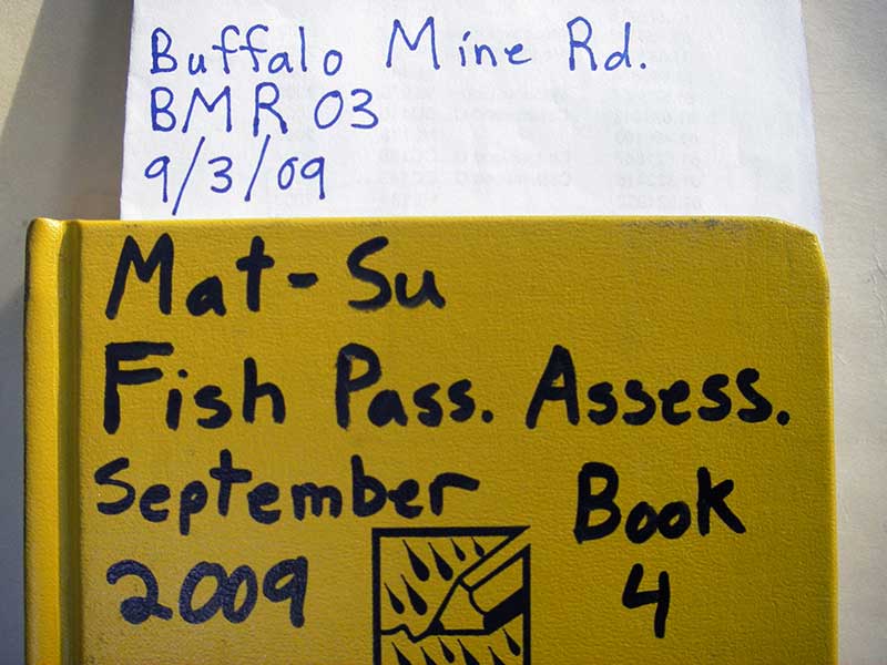
Road Name: Buffalo Mine Road
Datum: WGS84
Quad Name / ITM: Anchorage C-6
AWC Stream #: 247-50-10220-2085-3047
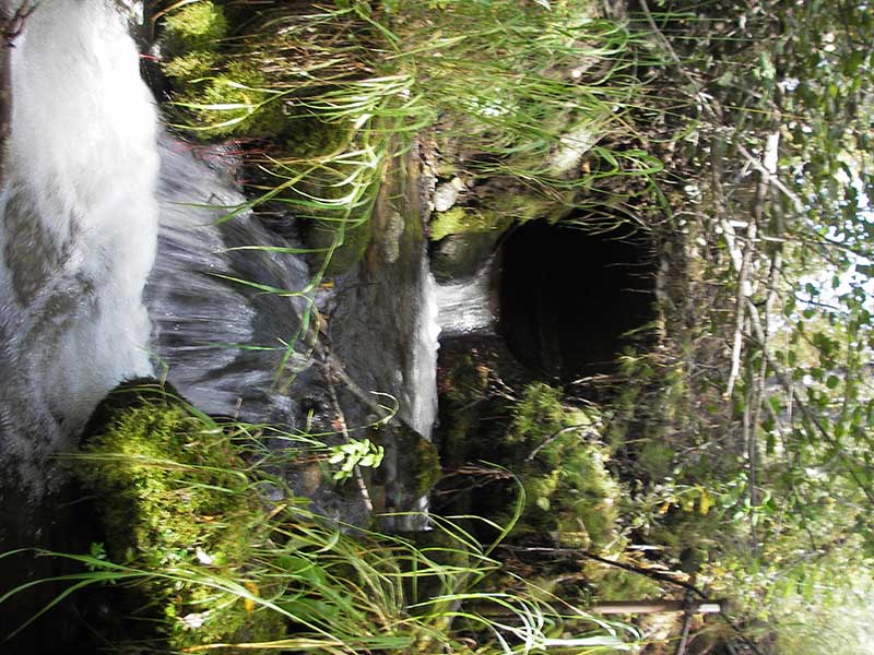
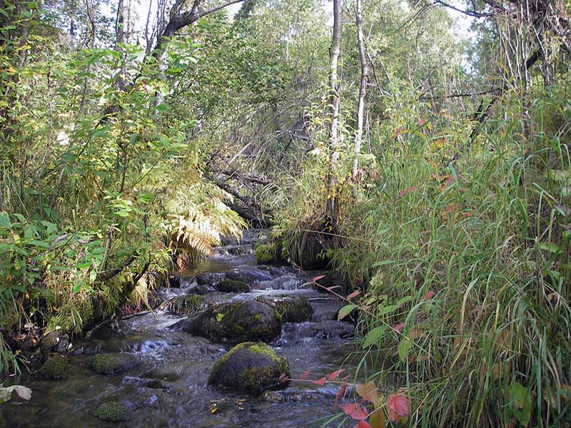
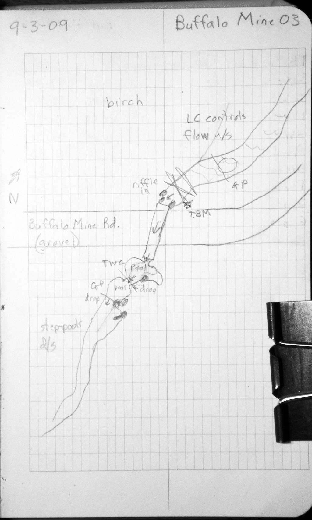
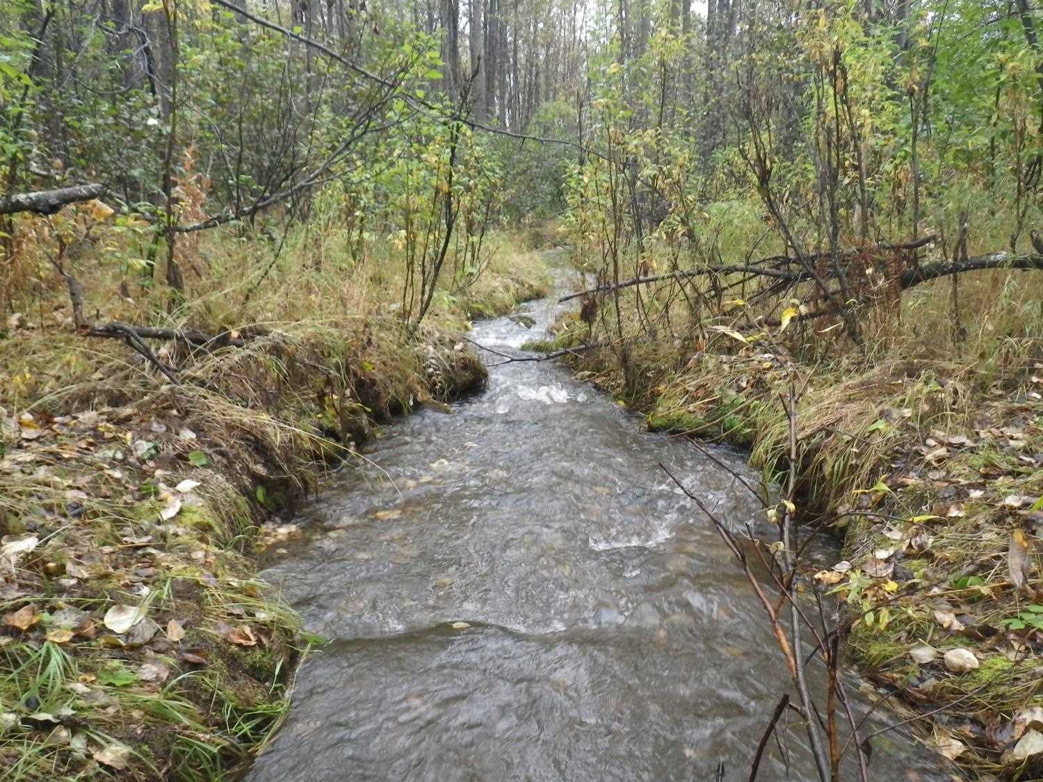
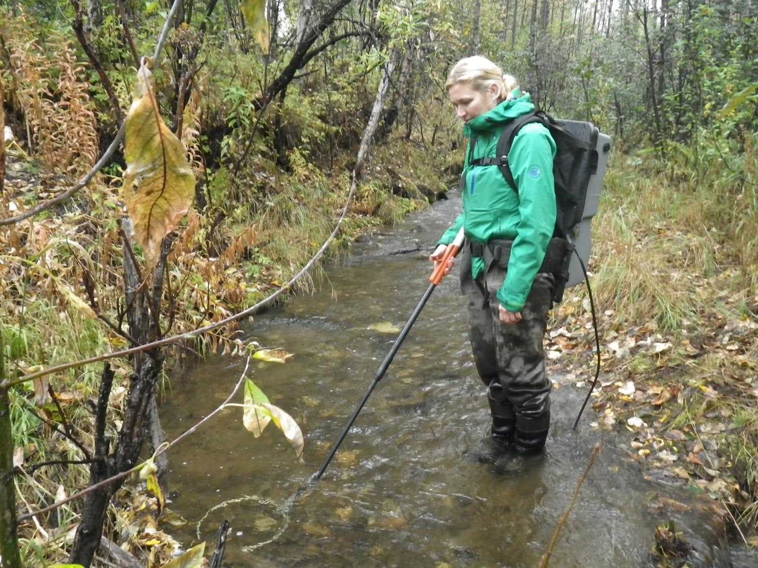
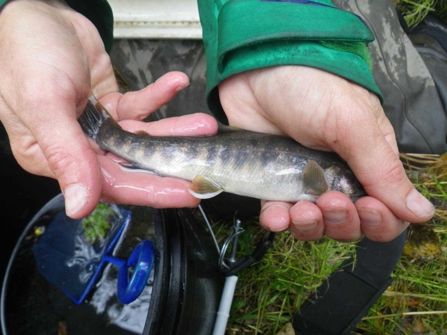
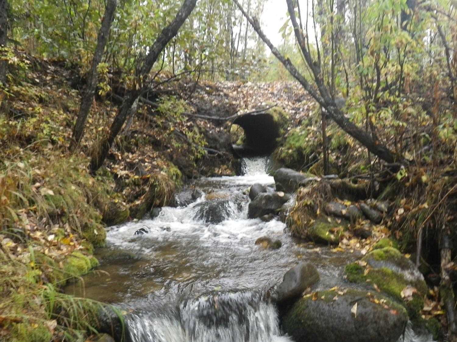
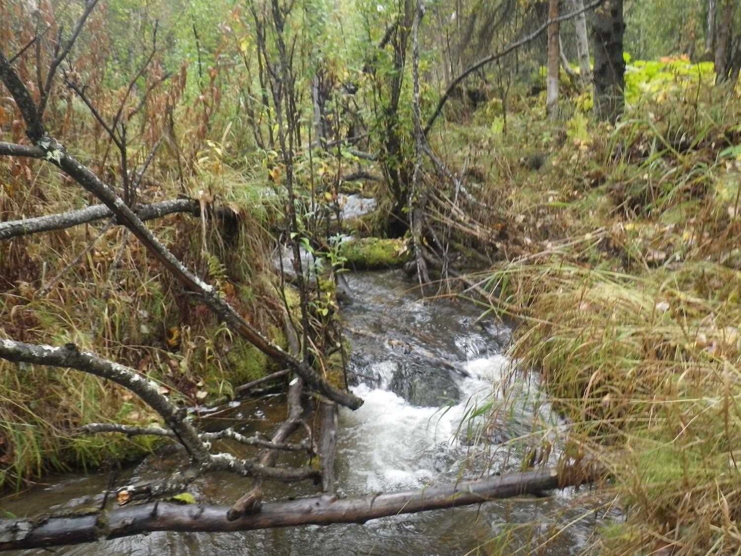
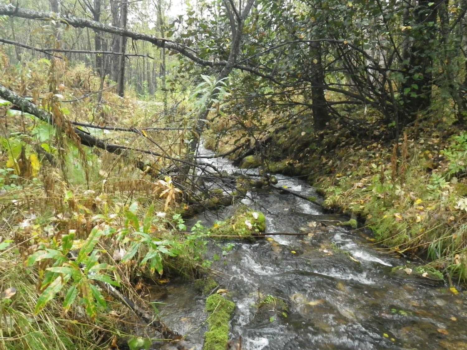
Stream Name: Premier Creek
Elevation:
Site Comments: None
arrow to the right of the survey date below to choose a different report for this site.
Survey MSB09-BMR03
Project Supervisor: Gillian O'Doherty, ADFG
Observers: Heidi Zimmer, Ben Histand
Overall Fish Passage Rating:
Tidal: No
Backwatered: No
Step Pools:
Construction Year:
Site Observations:
- Outfall height red
- Culvert gradient red
- Constriction ratio gray
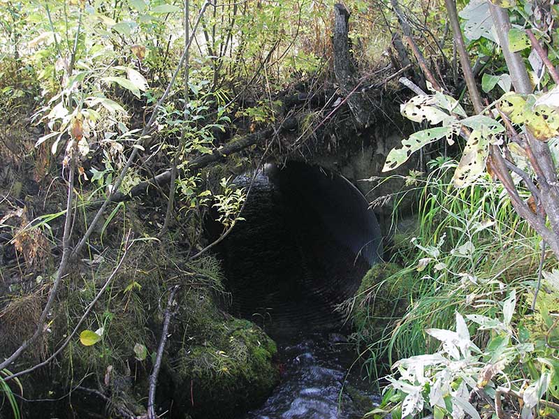
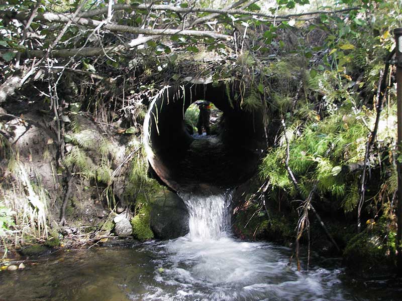
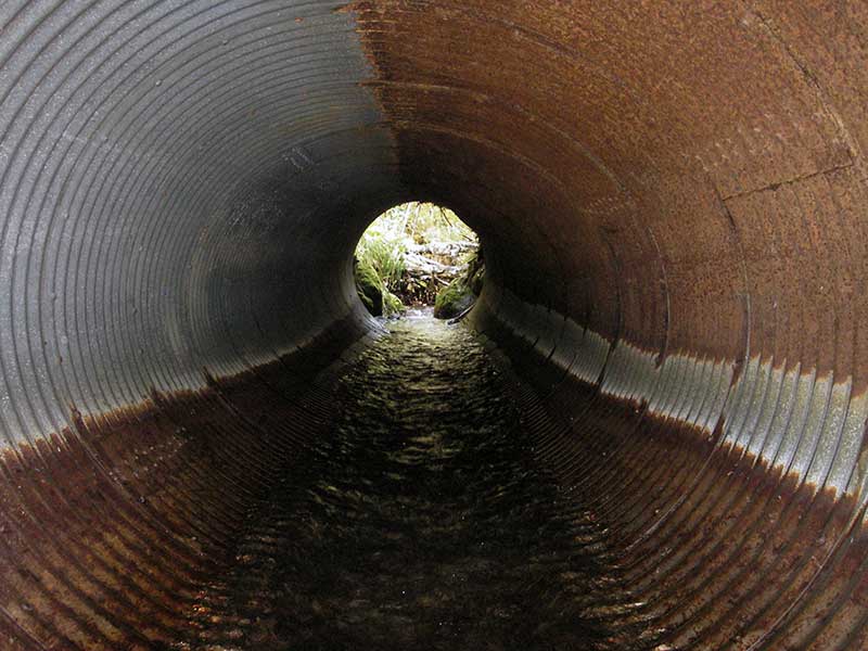
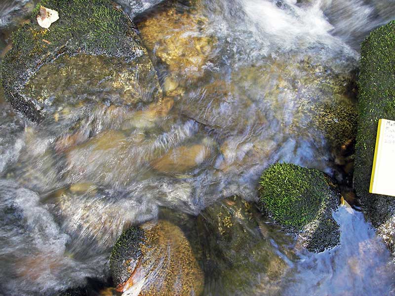
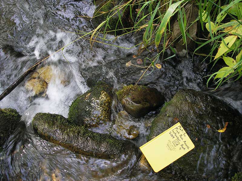
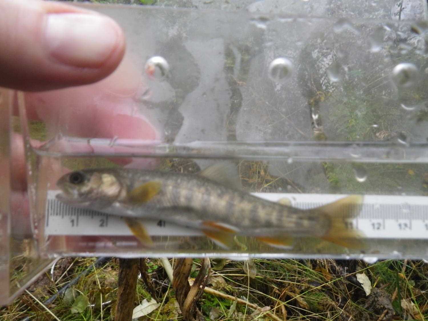
Comments: Non-uniform rust (diagram on data sheet). Photos and electrofishing capture data from 9/6/16 site visit for Sampling Unmapped Streams in the MSB.
Culvert Measurements
| ID: 1 | Structure Type: Circular pipe (Structural steel plate) | Fish Passage Rating: | |||||||||||||||||||||||||||||||||||||||||
|
|
|
|||||||||||||||||||||||||||||||||||||||||
Culvert Observations:
|
|||||||||||||||||||||||||||||||||||||||||||
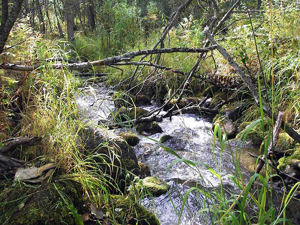
Stream Measurements
|
|
| Stream Width Type | Distance From Crossing (ft) |
Stream Width (ft) |
|---|---|---|
| Upstream ordinary high water | 50.0 | 7.00 |
| Upstream ordinary high water | 95.0 | 7.50 |
| Upstream ordinary high water | 160.0 | 9.50 |
Elevations
| Locator ID | Culvert Number |
River Distance (ft)1 |
Distance From Crossing (ft)2 |
Relative Elevation (ft) |
|---|---|---|---|---|
| Outlet Pool Water Elev | 1 | 93.29 | ||
| U/S Headwater | 1 | 95.95 | ||
| D/S Grade Ctrl (Thalweg) (TC of pool below TWC) | 1 | 0.00 | 19.0 | 91.63 |
| D/S Water Surface Elev (@GP) | 1 | 0.00 | 19.0 | 92.12 |
| D/S Tailcrest or 1st Thalweg | 1 | 9.00 | 10.0 | 92.79 |
| D/S Water Surface Elev (@TWC) | 1 | 9.00 | 10.0 | 93.26 |
| D/S Thalweg (bottom of pool) | 1 | 13.00 | 6.0 | 91.71 |
| D/S Thalweg (bottom of plunge) | 1 | 17.00 | 2.0 | 92.15 |
| Outlet Invert | 1 | 19.00 | 0.0 | 94.31 |
| Road Elev | 1 | 34.00 | 101.80 | |
| Inlet Culvert Invert | 1 | 39.70 | 0.0 | 95.46 |
| U/S Grade Ctrl (Thalweg) (TC of 1st pool u/s) | 1 | 71.70 | 32.0 | 97.88 |
| U/S Water Surface Elev (@GP) | 1 | 71.70 | 32.0 | 98.24 |
Notes:
- River distance is measured continuously throughout the survey reach along the thalweg of the stream.
- Measured from each end of the crossing along the thalweg of the stream.
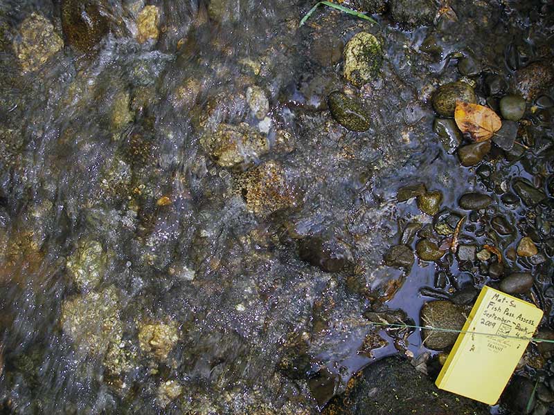
Fish Sampling Efforts
| Gear Type: Minnow Trap (A) | Trap Duration(h): 1.0 | |
| Comments: no fish caught; 60ft u/s | ||
| Gear Type: Minnow Trap (B) | Trap Duration(h): 1.0 | |
| Comments: no fish caught; 70ft d/s | ||
Fish Observations
No fish observations occurred during this survey.
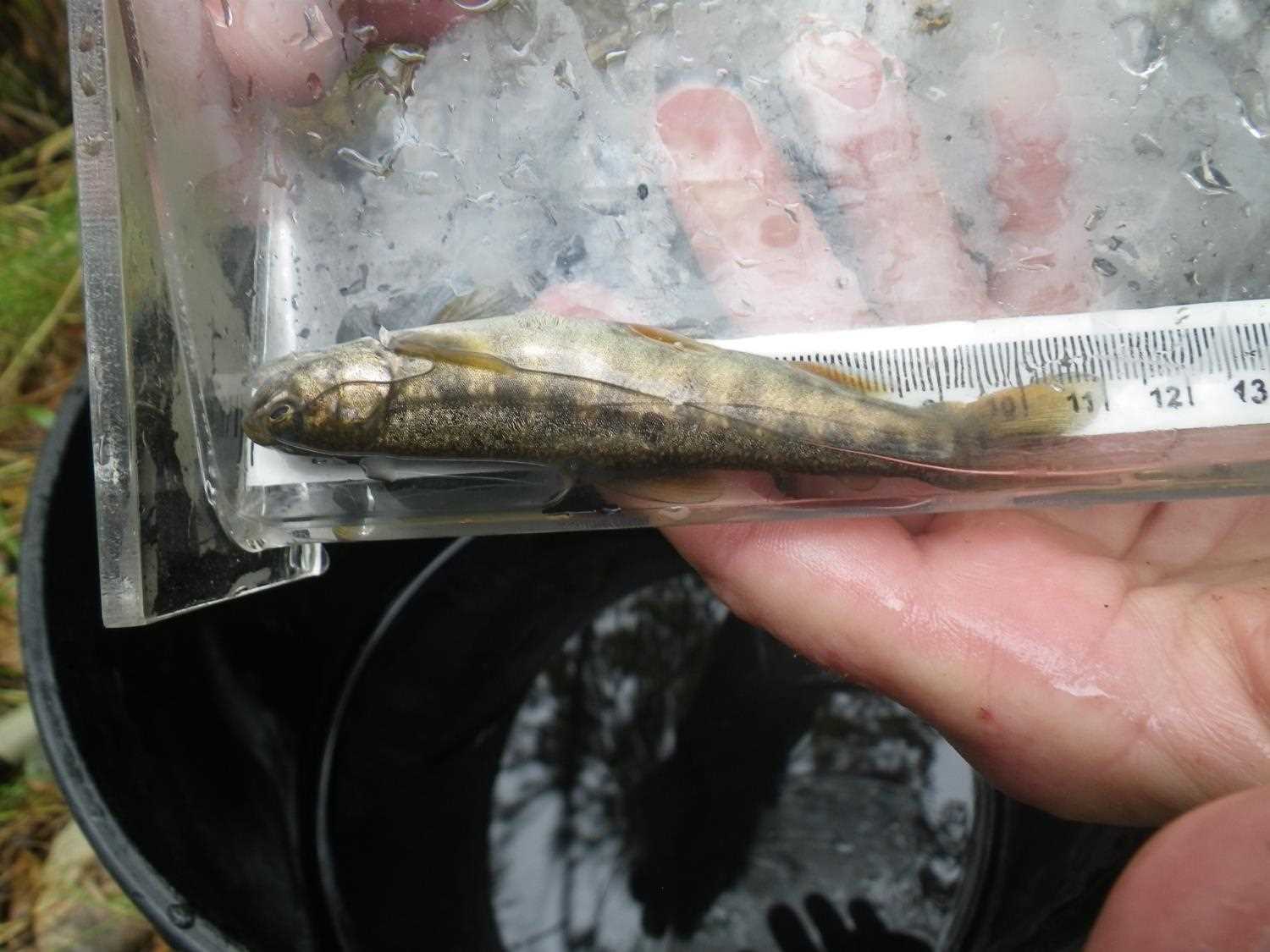
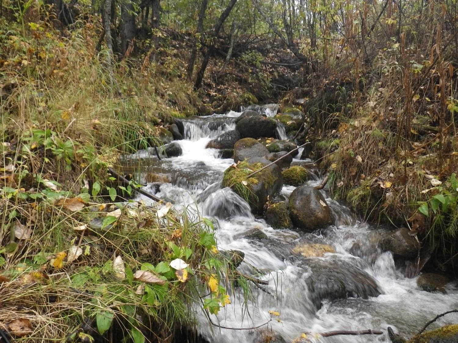
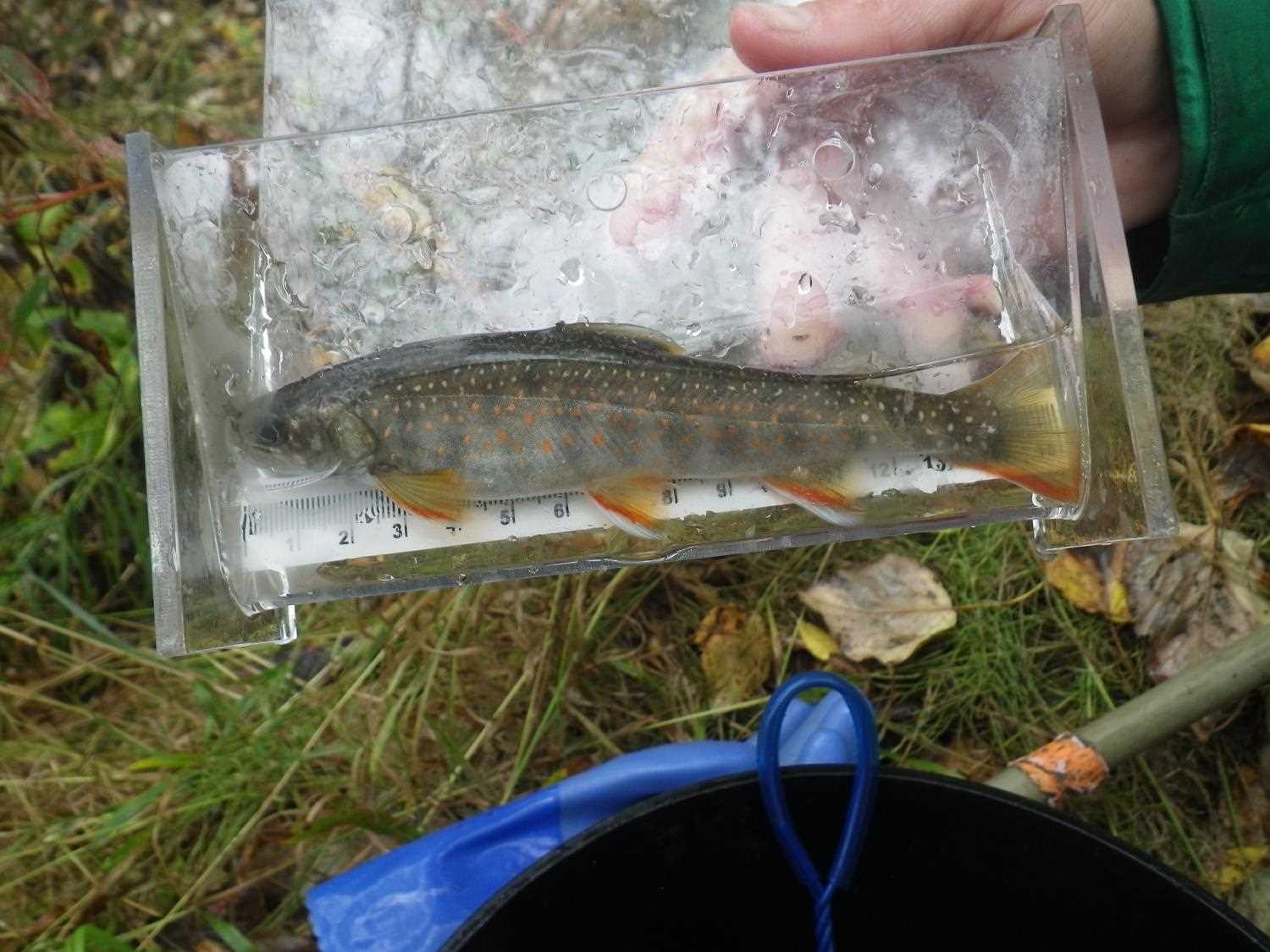
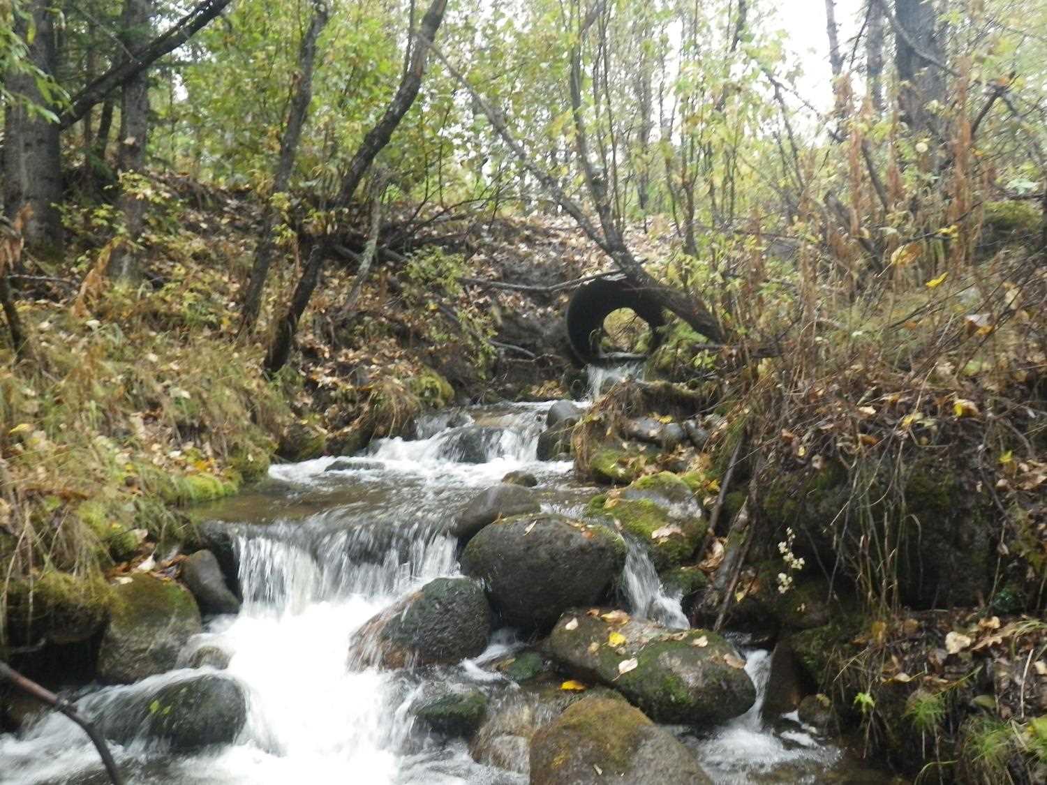
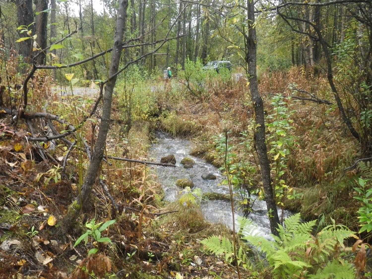
Photos
Questions or comments about this report can be directed to dfg.dsf.webmaster@alaska.gov