Fish Passage Site 20401170
Coordinates (dec. deg.): 61.73028°, -149.04044°
Legal Description: S019N002E14
Region: South Central
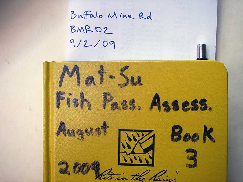
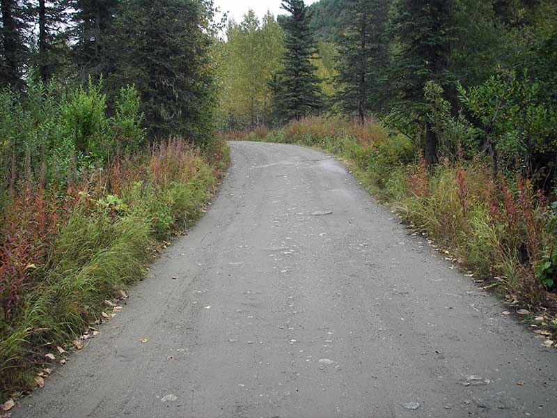
Road Name: Buffalo Mine Road
Datum: WGS84
Quad Name / ITM: Anchorage C-6
AWC Stream #:
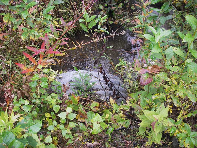
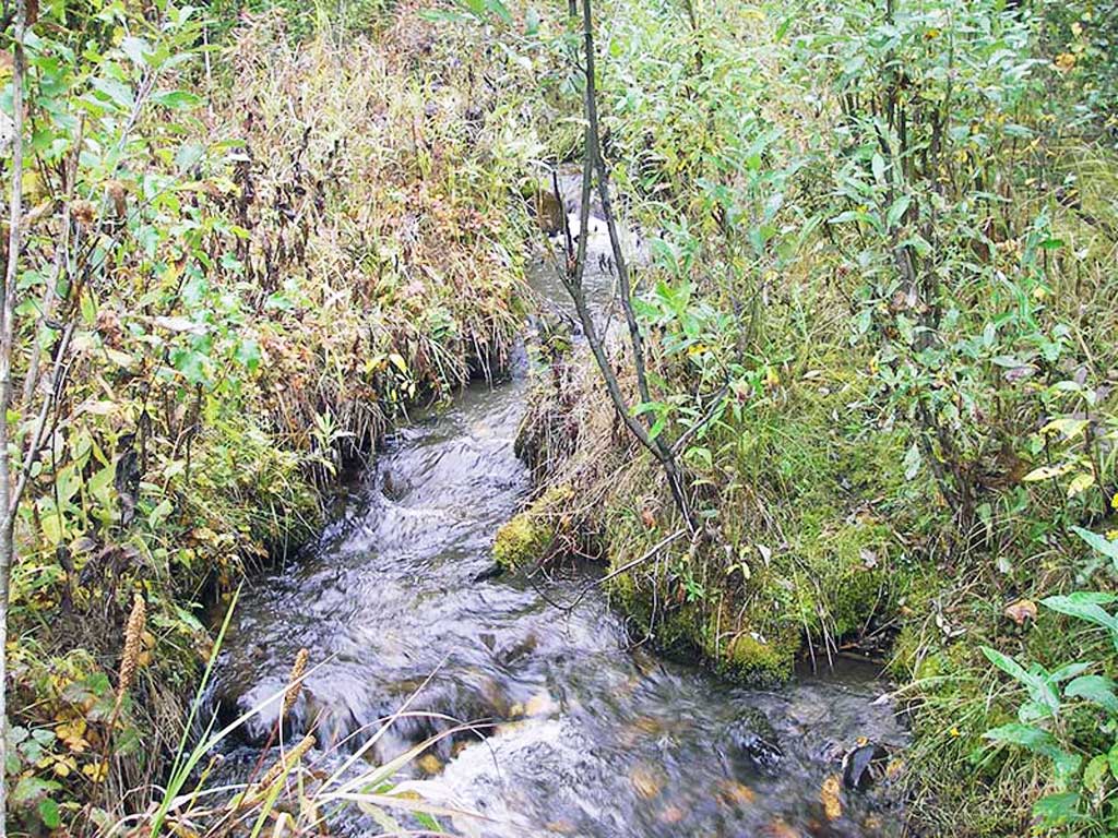
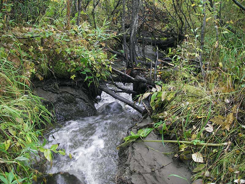
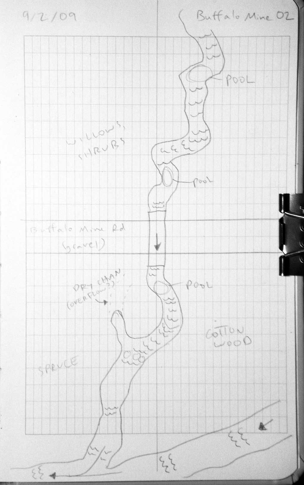
Stream Name: Moose Creek tributary
Elevation:
Site Comments: None
Survey MSB09-BMR02
Project Supervisor: Gillian O'Doherty, ADFG
Observers: Heidi Zimmer, Ben Histand
Overall Fish Passage Rating:
Tidal: No
Backwatered: No
Step Pools:
Construction Year:
Site Observations:
- Culvert gradient red
- Constriction ratio gray
- Compound gradient in pipe
- Mechanical damage or joints parting
- Outfall height gray
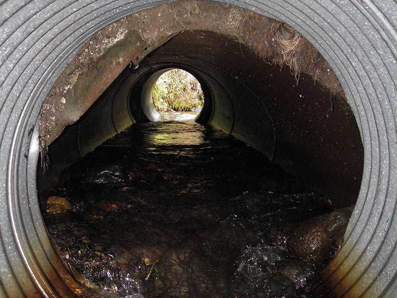
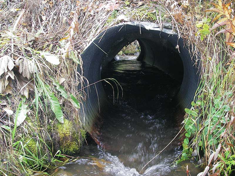
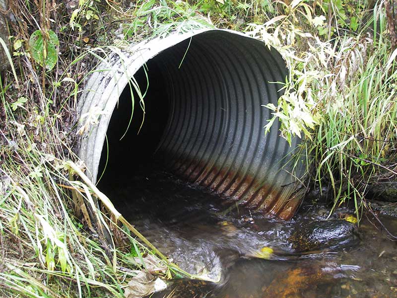
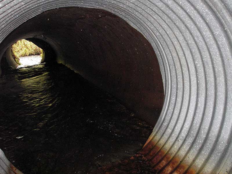
Comments: Pipe Non-corregated metal pipe w/ corregated steel pipe extensions at ends; joints between sections badly separated w/hydraulic jumps; gray b/c non-standard pipe, but definitely a maintenace problem.
Culvert Measurements
| ID: 1 | Structure Type: Circular pipe (Corrugated steel) | Fish Passage Rating: | |||||||||||||||||||||||||||||||||||||||||
|
|
|
|||||||||||||||||||||||||||||||||||||||||
Comments: Culvert is a 3.5 foot non-corregated metal pipe with corregated steel pipe extentions on the ends. Joints between pipes separating and making hydraulic jumps within the pipe. |
|||||||||||||||||||||||||||||||||||||||||||
Culvert Observations:
|
|||||||||||||||||||||||||||||||||||||||||||
Stream Measurements
|
|
| Stream Width Type | Distance From Crossing (ft) |
Stream Width (ft) |
|---|---|---|
| Upstream ordinary high water | 100.0 | 6.00 |
| Upstream ordinary high water | 133.0 | 5.50 |
| Upstream ordinary high water | 195.0 | 4.00 |
Elevations
| Locator ID | Culvert Number |
River Distance (ft)1 |
Distance From Crossing (ft)2 |
Relative Elevation (ft) |
|---|---|---|---|---|
| Outlet Pool Water Elev | 1 | 96.21 | ||
| U/S Headwater | 1 | 97.09 | ||
| D/S Grade Ctrl (Thalweg) | 1 | 0.00 | 29.0 | 94.81 |
| D/S Water Surface Elev (@GP) | 1 | 0.00 | 29.0 | 95.28 |
| D/S Grade Ctrl (Thalweg) | 1 | 9.00 | 20.0 | 95.49 |
| D/S Water Surface Elev (@GP) | 1 | 9.00 | 20.0 | 95.89 |
| D/S Thalweg (riffle) | 1 | 24.00 | 5.0 | 95.44 |
| D/S Thalweg | 1 | 29.00 | 0.0 | 95.68 |
| Outlet Invert | 1 | 29.00 | 0.0 | 95.90 |
| Road Elev | 1 | 43.00 | 101.26 | |
| U/S Thalweg | 1 | 57.70 | 0.0 | 96.51 |
| Inlet Culvert Invert | 1 | 57.70 | 0.0 | 96.61 |
| U/S Grade Ctrl (Thalweg) | 1 | 60.70 | 3.0 | 96.64 |
| U/S Water Surface Elev (@GP) | 1 | 60.70 | 3.0 | 97.18 |
Notes:
- River distance is measured continuously throughout the survey reach along the thalweg of the stream.
- Measured from each end of the crossing along the thalweg of the stream.
Fish Sampling Efforts
| Gear Type: Minnow Trap (A) | Trap Duration(h): 1.0 | |
| Comments: no fish caught; 50ft u/s | ||
| Gear Type: Minnow Trap (B) | Trap Duration(h): 1.0 | |
| Comments: no fish caught; 50ft d/s | ||
Fish Observations
No fish observations occurred during this survey.
Photos
Questions or comments about this report can be directed to dfg.dsf.webmaster@alaska.gov