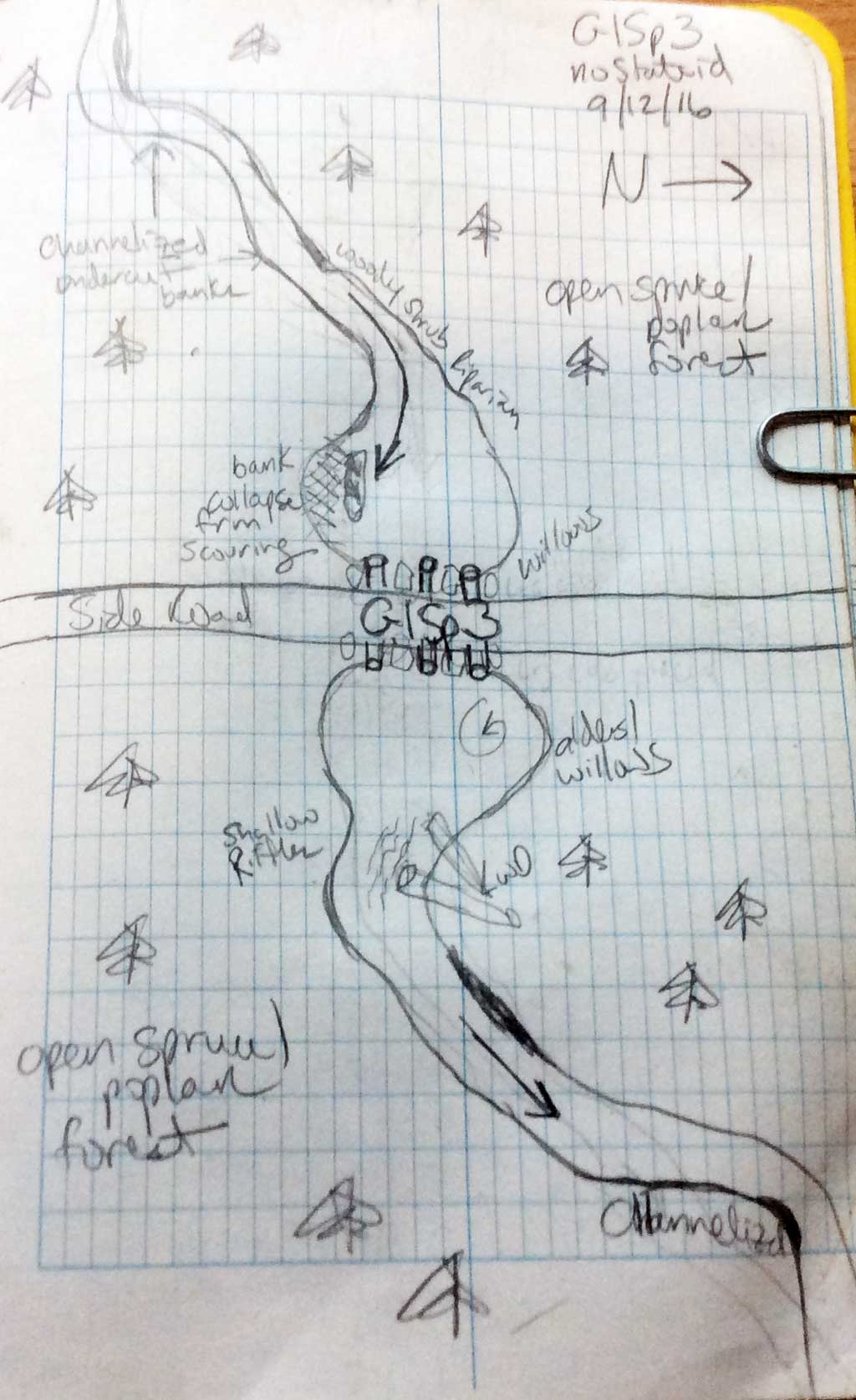
Fish Passage Site 20103761
Coordinates (dec. deg.): 62.10398°, -145.64973°
Legal Description: C004N002W30
Region: South Central
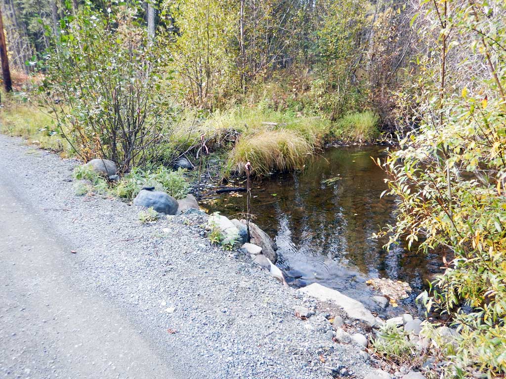
Road Name: Spur Road
Datum: NAD83
Quad Name / ITM: Gulkana A-4
AWC Stream #:
Stream Name: Unnamed
Elevation:
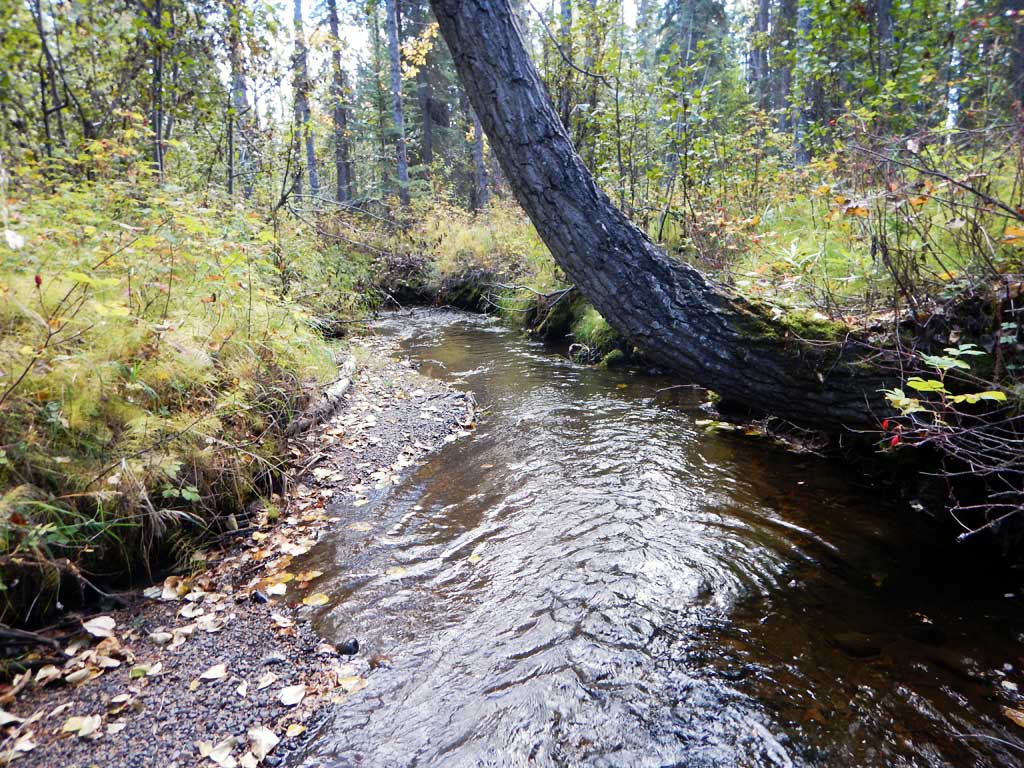
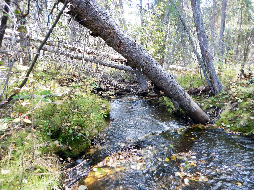
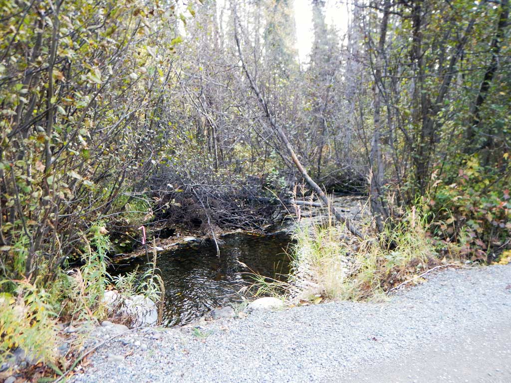
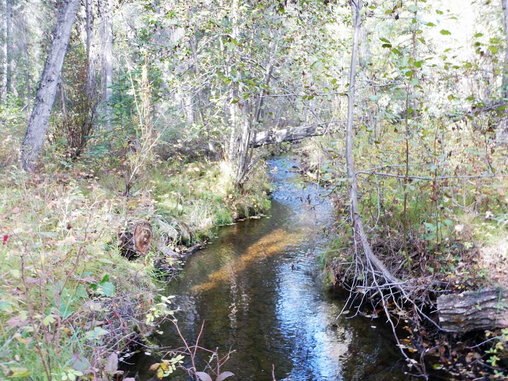
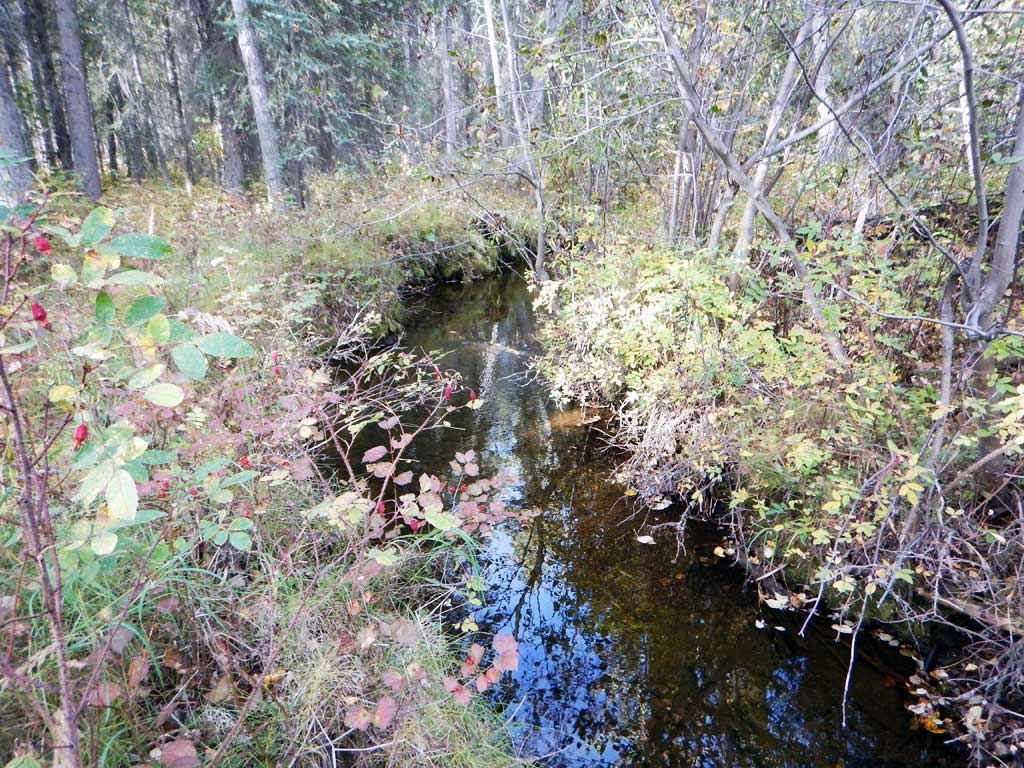
Site Comments: Tributary to Moose Creek. Upstream from GISp2.
Survey CRWP17-GISp3
Observers: Kirsti Jurica, Hoots Witsoe
Overall Fish Passage Rating:
Tidal: No
Backwatered: No
Step Pools: No
Construction Year:
Site Observations:
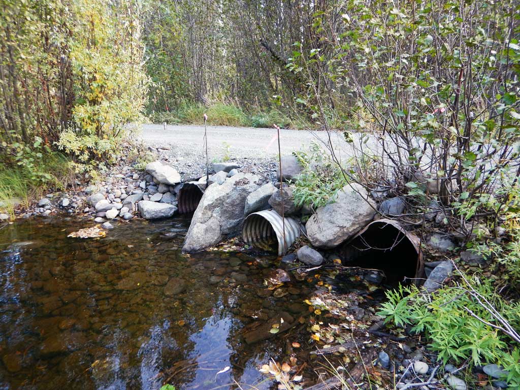
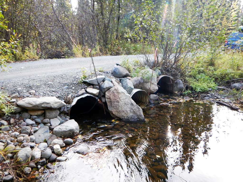
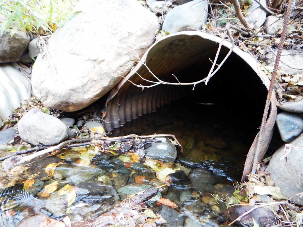
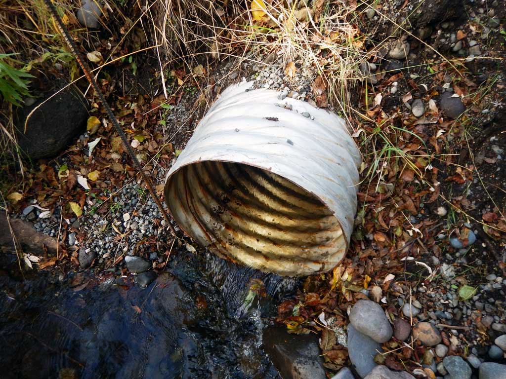
- Constriction ratio gray
- Culvert is too short
- Road bank erosion
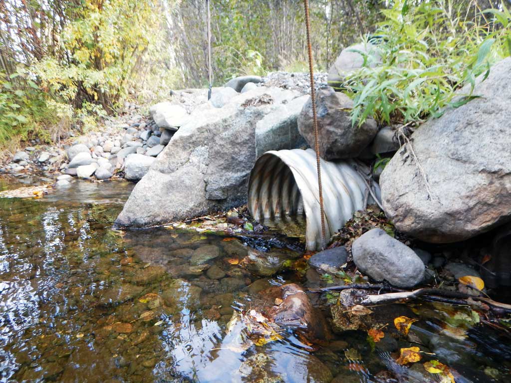
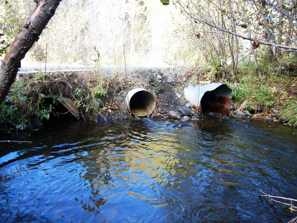
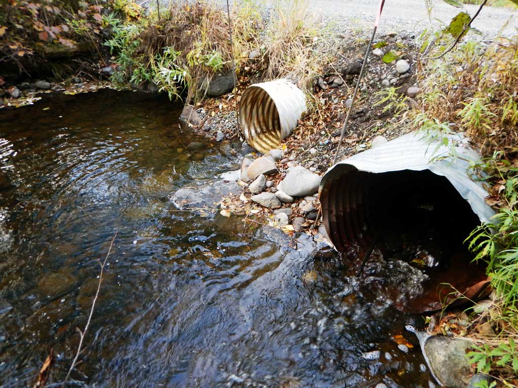
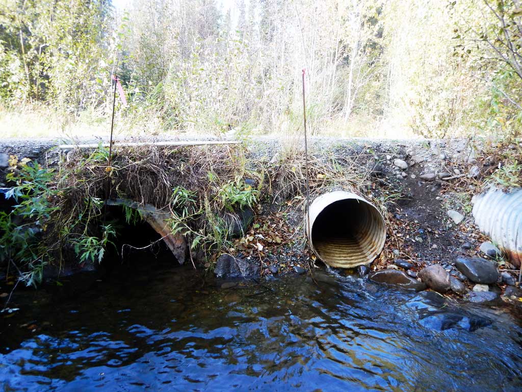
Comments: Culvert assessment performed and submitted by the Copper River Watershed Project. Small wooded upland channel.
Culvert Measurements
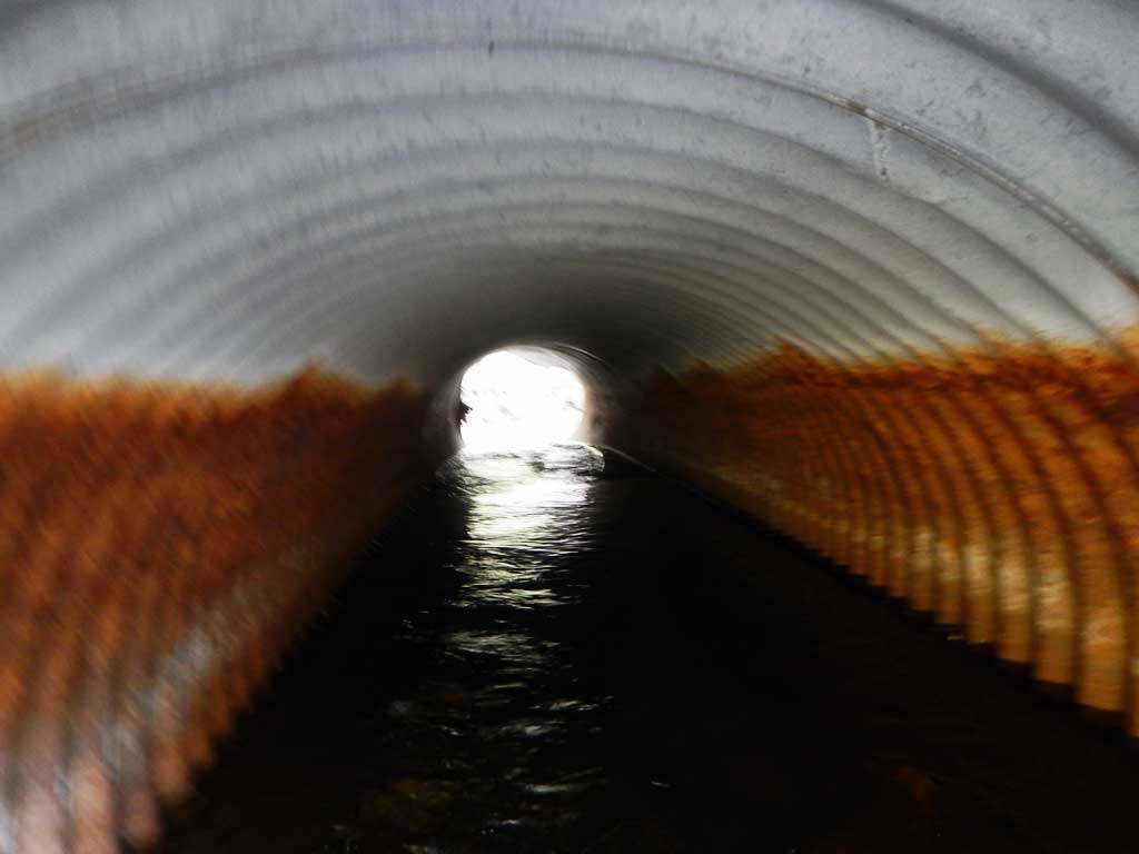
| ID: 1 | Structure Type: Circular pipe (Corrugated steel) | Fish Passage Rating: | |||||||||||||||||||||||||||||||||||||||||
|
|
|
|||||||||||||||||||||||||||||||||||||||||
Culvert Observations:
|
|||||||||||||||||||||||||||||||||||||||||||
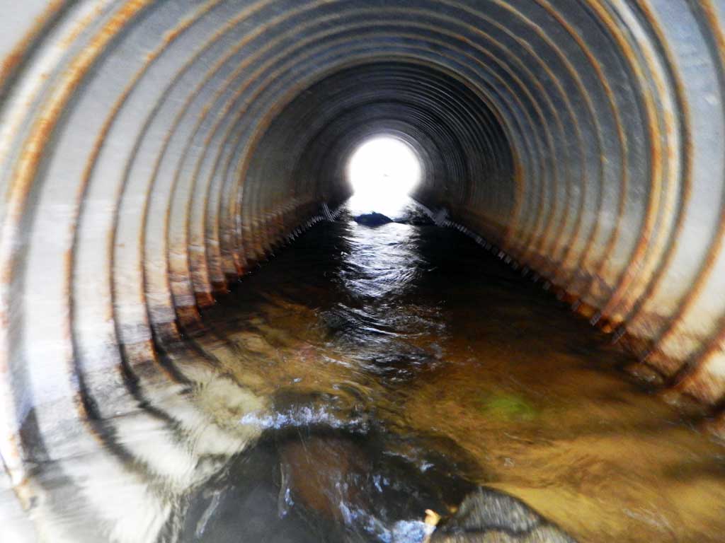
| ID: 2 | Structure Type: Circular pipe (Corrugated steel) | Fish Passage Rating: | |||||||||||||||||||||||||||||||||||||||||
|
|
|
|||||||||||||||||||||||||||||||||||||||||
Culvert Observations:
|
|||||||||||||||||||||||||||||||||||||||||||
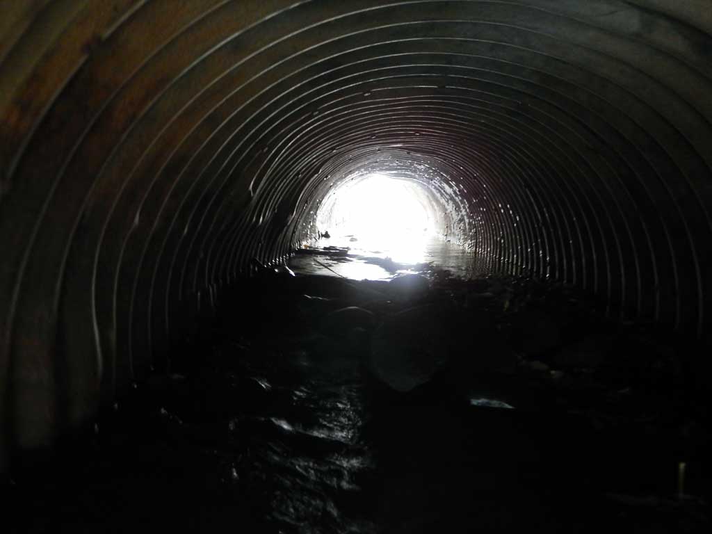
| ID: 3 | Structure Type: Circular pipe (Corrugated steel) | Fish Passage Rating: | |||||||||||||||||||||||||||||||||||||||||
|
|
|
|||||||||||||||||||||||||||||||||||||||||
Comments: Outlet damage |
|||||||||||||||||||||||||||||||||||||||||||
Culvert Observations:
|
|||||||||||||||||||||||||||||||||||||||||||
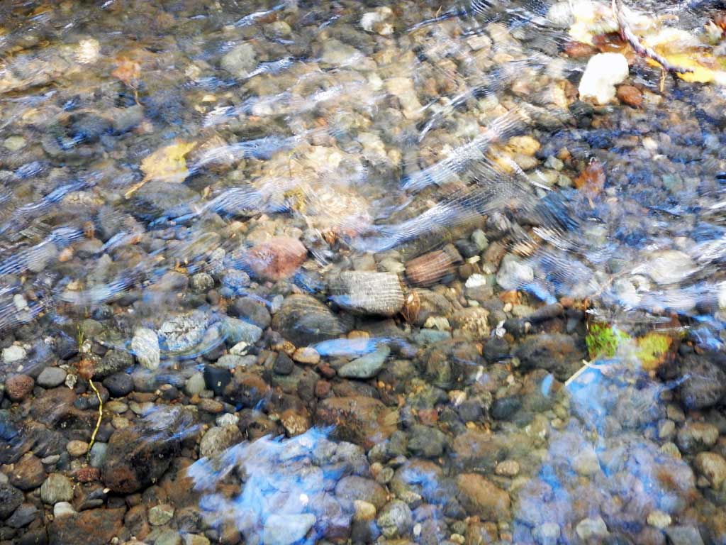
Stream Measurements
|
|
| Stream Width Type | Distance From Crossing (ft) |
Stream Width (ft) |
|---|---|---|
| Downstream ordinary high water | 7.80 | |
| Downstream ordinary high water | 6.90 | |
| Downstream ordinary high water | 7.40 | |
| Upstream ordinary high water | 7.90 | |
| Upstream ordinary high water | 7.60 | |
| Upstream ordinary high water | 8.20 |
Elevations
| Locator ID | Culvert Number |
River Distance (ft)1 |
Distance From Crossing (ft)2 |
Relative Elevation (ft) |
|---|---|---|---|---|
| Road Elev | 100.00 | |||
| D/S Grade Ctrl (Thalweg) | 0.00 | 94.47 | ||
| D/S Water Surface Elev | 0.00 | 96.13 | ||
| D/S Tailcrest or 1st Thalweg | 20.00 | 96.01 | ||
| D/S Water Surface Elev | 20.00 | 96.65 | ||
| Max Pool Depth | 26.00 | 94.56 | ||
| Outlet Pool Water Elev | 26.00 | 96.65 | ||
| D/S Water Surface Elev | 3 | 34.00 | 96.65 | |
| Outlet Invert | 2 | 34.00 | 96.54 | |
| Outlet Culvert Top (damaged) | 3 | 34.00 | 98.42 | |
| Outlet Culvert Top | 2 | 34.00 | 98.57 | |
| Outlet Culvert Top | 1 | 34.00 | 99.06 | |
| Outlet Invert | 3 | 34.00 | 95.91 | |
| Outlet Invert | 1 | 34.00 | 96.28 | |
| D/S Water Surface Elev | 1 | 34.00 | 96.67 | |
| D/S Water Surface Elev | 2 | 34.00 | 96.76 | |
| U/S Water Surface Elev | 3 | 54.00 | 97.00 | |
| U/S Water Surface Elev | 1 | 54.00 | 97.01 | |
| U/S Water Surface Elev | 2 | 54.00 | 97.01 | |
| Inlet Culvert Invert | 1 | 54.00 | 96.38 | |
| Inlet Culvert Invert | 2 | 54.00 | 96.39 | |
| Inlet Culvert Top | 2 | 54.00 | 98.42 | |
| Inlet Culvert Top | 1 | 54.00 | 98.79 | |
| Inlet Culvert Top | 3 | 54.00 | 98.94 | |
| Inlet Culvert Invert | 3 | 54.00 | 96.58 | |
| U/S Grade Ctrl (Thalweg) | 69.00 | 96.07 | ||
| U/S Water Surface Elev | 69.00 | 97.11 | ||
| U/S Water Surface Elev | 107.00 | 97.58 | ||
| U/S Grade Ctrl (Thalweg) | 107.00 | 96.38 |
Notes:
- River distance is measured continuously throughout the survey reach along the thalweg of the stream.
- Measured from each end of the crossing along the thalweg of the stream.
Fish Sampling Efforts
| Gear Type: Minnow Trap (A) | Trap Duration(h): 18.0 | |
| Gear Type: Minnow Trap (B) | Trap Duration(h): 18.0 | |
| Comments: No fish caught | ||
| Gear Type: Minnow Trap (C) | Trap Duration(h): 18.0 | |
| Comments: No fish caught | ||
| Gear Type: Minnow Trap (D) | Trap Duration(h): 18.0 | |
| Gear Type: Minnow Trap (E) | Trap Duration(h): 18.0 | |
Fish Observations
| Species: juvenile longnose sucker | Life History: Resident | ||
| Total Fish Observed: 6 | Fish Measured: 3 | Fork Lengths (mm) Min: 75 Max: 90 Mean: 83 | |
| Collected/Observed by Gear Type: Not Recorded Minnow Trap (3) Not Recorded Minnow Trap (1) Not Recorded Minnow Trap (2) | |||
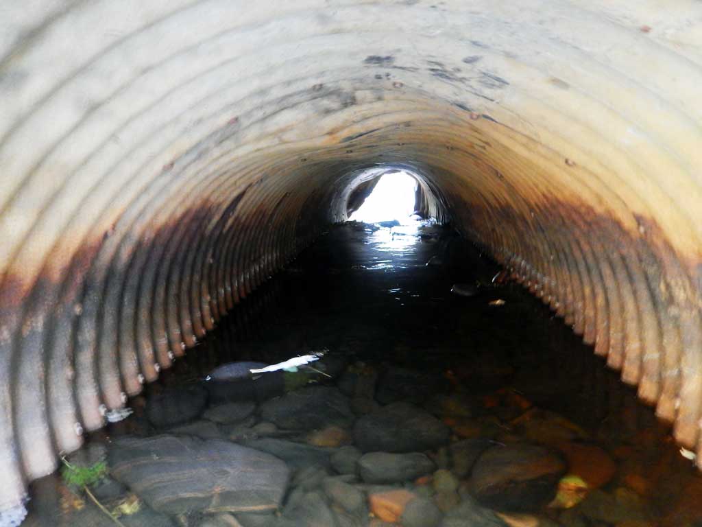
Photos
Questions or comments about this report can be directed to dfg.dsf.webmaster@alaska.gov