Fish Passage Site 10302871
Coordinates (dec. deg.): 59.26250°, -135.57962°
Legal Description: C030S058E24
Region: Southeast
Road Name: Haines Highway
Datum: NAD83
Quad Name / ITM: Skagway B-2
AWC Stream #:
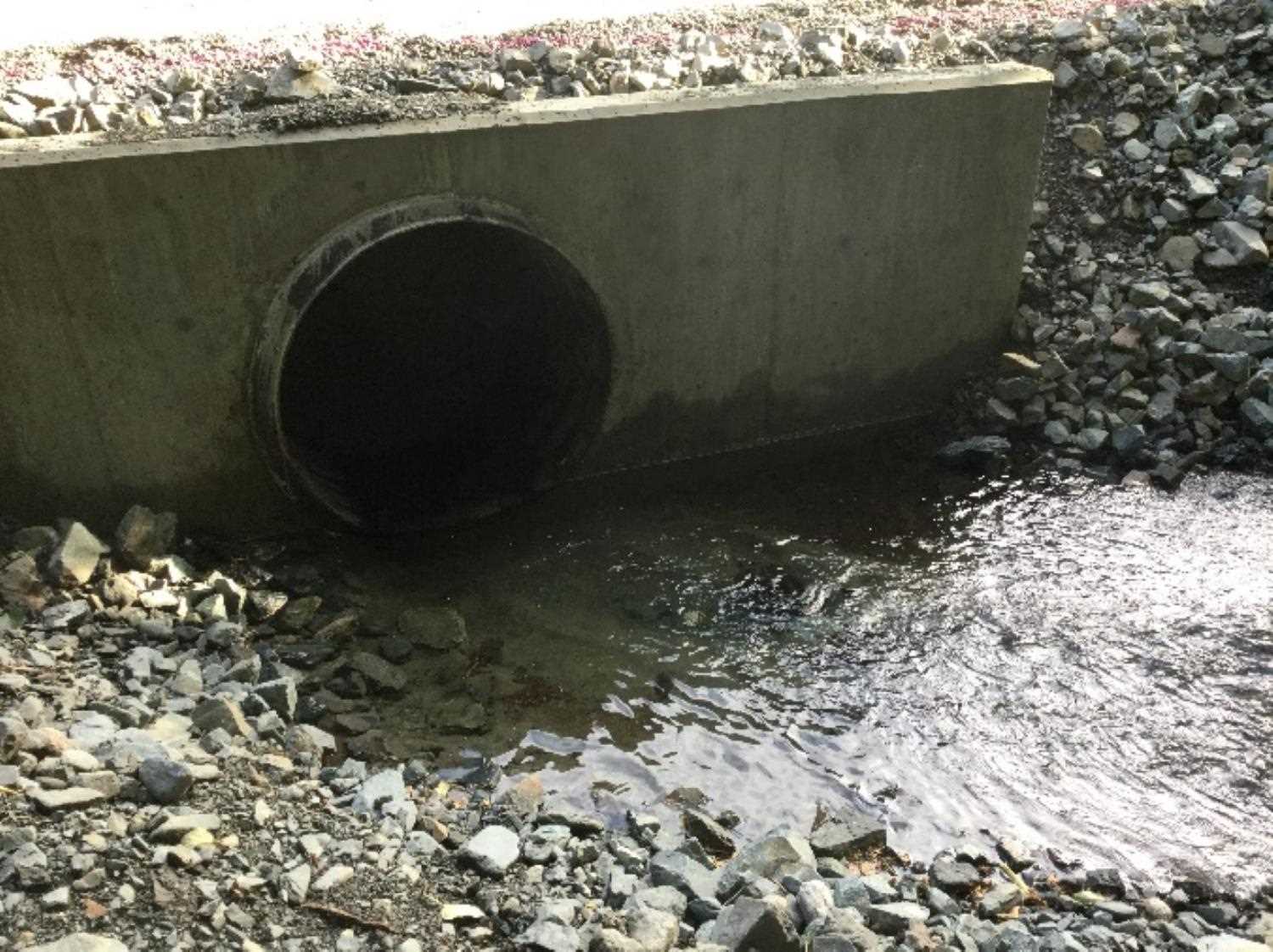
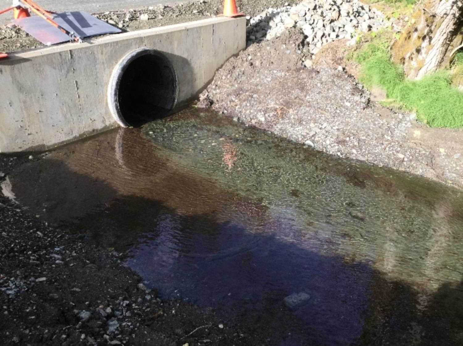
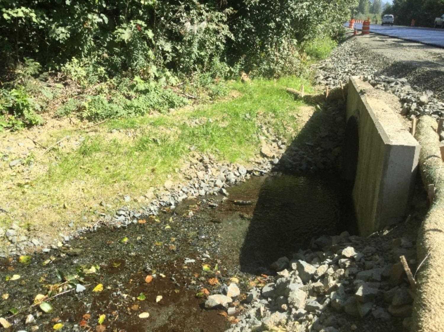
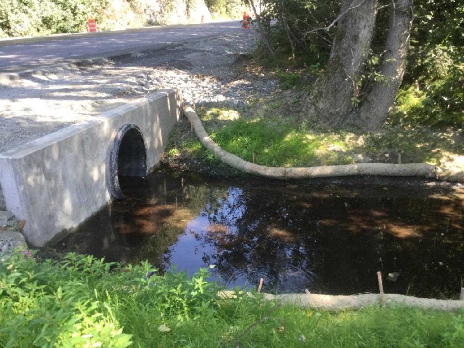
Stream Name: 6 Mile Creek
Elevation:
Site Comments: None
arrow to the right of the survey date below to choose a different report for this site.
Survey UPD20-HHW01
Project Supervisor: Gillian O'Doherty, Alaska Department of Fish and Game
— Anchorage, AK
Observers: Dylan Krull
Overall Fish Passage Rating:
Tidal:
Backwatered:
Step Pools:
Construction Year: 2018
Comments: Memorandum submitted by Dylan Krull (ADFG).Culvertwas replaced in 2018. Needs resurvey.
Culvert Measurements
No measurement data available.
Stream Measurements
|
|
No stream width data available.
Elevations
No elevation data available.
Fish Sampling Efforts
No fish sampling occurred during this survey.
Fish Observations
No fish observations occurred during this survey.
Photos
Questions or comments about this report can be directed to dfg.dsf.webmaster@alaska.gov