Location
- Latitude: 63.891121
- Longitude: -145.844056
- USGS Map: MT HAYES D-4
- Elevation (m): 427
- MTRS: F012S010E08
- Management Area: Delta (Upper Tanana River Drainage)
- Sub Area: Meadows Rd
- Drainage: Delta River
Access
- Latitude: 63.891121
- Longitude: -145.844056
- Directions: Mile 257.6 Richardson Hwy, turn west on gravel road (Ft. Greely Meadows Rd), at mile 2 turn east onto Wahlgren Hwy, travel 0.5 miles to lake.
- Improvements:
- road
- parking
- Notes: U.S. Army Garrison Alaska recreational access permit called the "Sikes Act Permit" (SAP) is required and can be obtained online at https://usartrak.isportsman.net/. This lake is in training area TA 525.
- Status: Military Reservation
Lake Characteristics
- Surface Area (ha): 36.9
- Bathymetric Map: Bolio.jpg
- BOLIOLAKE.gif
- Lake Category: Landlocked
- Maximum Depth (m): 7.6
- Most Recent Survey Date: 3/15/2011
- Most Recent Survey Notes: From Region III files updated 2011. Unknown survey date.
Photos
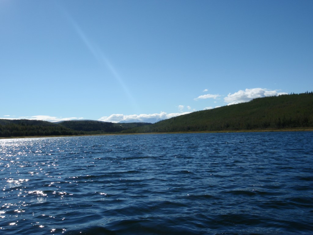
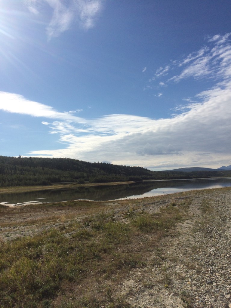
Download Linked Documents
- Bolio Lake Bath Map Old.PDF
- Bolio Lake Survey Notes & Fish Stocking.pdf
- Bolio Lake Fish Stocking [Various Years].PDF
- Bolio Lake Survey Form [1960].pdf
- Bolio Lake Gill-Net Sampling Record [1962].pdf
- Bolio Lake Survey 1960-1987.PDF
- Bolio Lake Hist.FishKill.pdf
- BolioLStockingNotes1950s.pdf
- Bolio Lake Limno1950s-80s.pdf
- BolioLFish1950s-80s.pdf
- CoalMineRd&MeadowsRdFish8.1990.PDF