Location
- Latitude: 62.32447
- Longitude: -146.55208
- USGS Map: GULKANA B-6
- Elevation (m): 219
- MTRS: C006N007W05
- Management Area: Glennallen (Upper Copper-Upper Susitna Drainages)
- Sub Area: Lake Louise Rd
- Drainage: Tyone River
Access
- Latitude: 62.32447
- Longitude: -146.55208
- Directions: North of Glenn Hwy.
Lake Characteristics
- Surface Area (ha): 5913.1
- Bathymetric Map: LakeLouise2021_Color.jpg
- lake_louise.gif
- LAKE LOUISE.PDF
- LakeLoiuse2019.jpg
- LakeLouise2019_Color.jpg
- LakeLouise2021.jpg
- Geo-Referenced Bathymetric Maps:
- LakeLouise2021_GeoPDF.pdf
- Lake Category: Open Outlet
- Maximum Depth (m): 51
- Most Recent Survey Date: 6/18/2021
- Most Recent Survey Notes: Depth data collected June 3-6, 2019 (majority of lake) and June 18, 2021 (eastern bay). GeoNorth OIM_BDL WMS imagery was used to determine the lake perimeter.
Photos
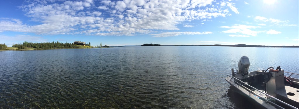
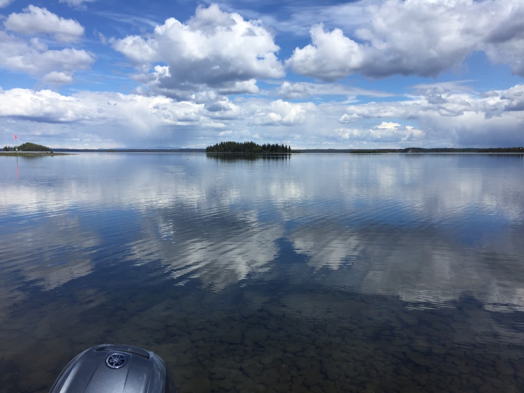
_Lake Louise1.JPG)
_Lake Louise2.JPG)
 (2018).jpg)
 (2018).jpg)