Location
- Latitude: 62.62185
- Longitude: -142.02902
- USGS Map: NABESNA C-3
- Elevation (m): 662
- MTRS: C010N018E27
- Management Area: Delta (Upper Tanana River Drainage)
Access
- Latitude: 62.62185
- Longitude: -142.02902
- Directions: 24 miles of southwest of mile 1254 Alaska Hwy.
- Improvements:
- none
- Notes: none
- Status: Publically Owned
Lake Characteristics
- Surface Area (ha): 1128.8
- Lake Category: Open Outlet
- Maximum Depth (m): 23.8
- Most Recent Survey Date: 1/9/2025
- Most Recent Survey Notes: Perimeter generated from Alaska High Resolution Imagery (AHRI) 2020 WMTS in 2025.
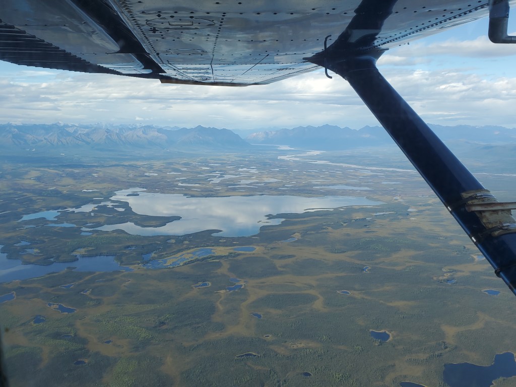
Photos
.jpg)