Location
- Latitude: 63.361098
- Longitude: -142.571924
- USGS Map: TANACROSS B-4
- Elevation (m): 637
- MTRS: C018N015E08
- Management Area: Delta (Upper Tanana River Drainage)
- Sub Area: Alaska Hwy
- Drainage: Tanana River
Access
- Latitude: 63.361098
- Longitude: -142.571924
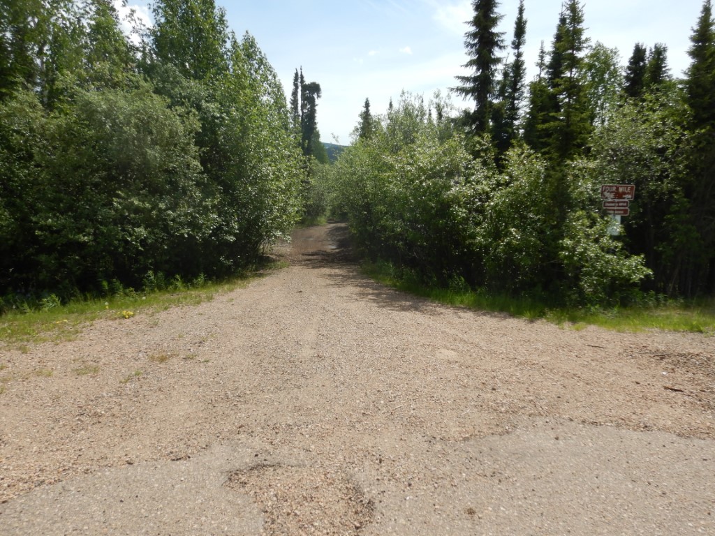
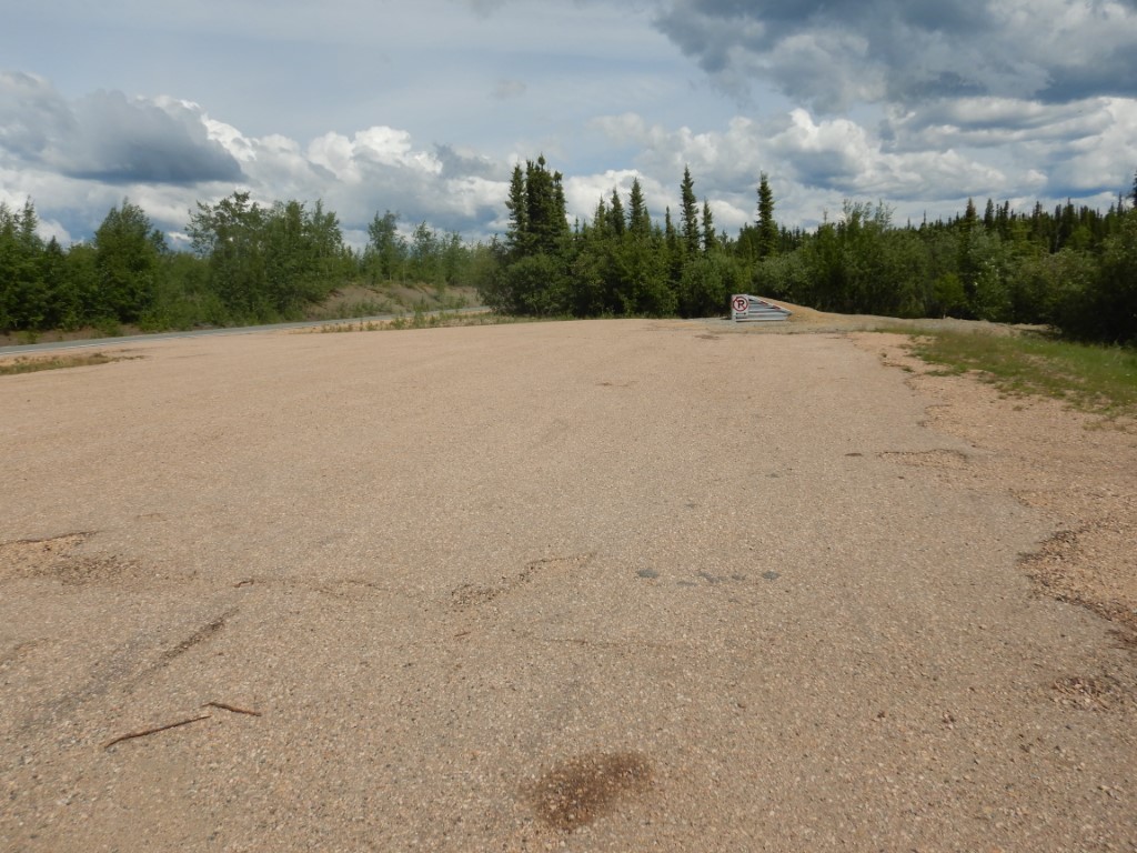
- Directions: Mile 4.5 Taylor Hwy, pullout on east side of hwy, take ATV trail 0.75 miles to lake.
- Improvements:
- trail
- Notes: Trail tends to be wet/muddy.
Lake Characteristics
- Surface Area (ha): 49.9
- Bathymetric Map: FourMile.jpg
- FOURMILELAKE(TaylorHwy).gif
- Four Mile Lake Old Bath Map.pdf
- Lake Category: Landlocked
- Maximum Depth (m): 5.8
- Most Recent Survey Date: 8/21/2007
- Most Recent Survey Notes: Surface area calculated from common GINA imagery.
Photos
_E looking S.JPG)
_E looking W.JPG)
_N looking W.JPG)