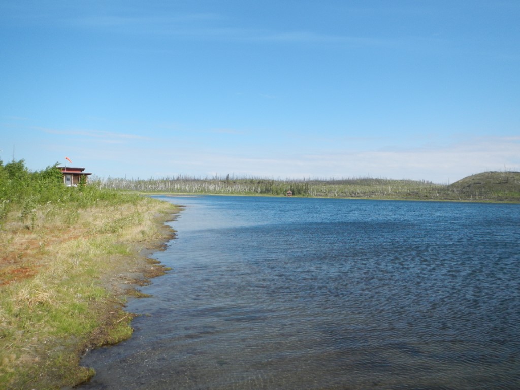
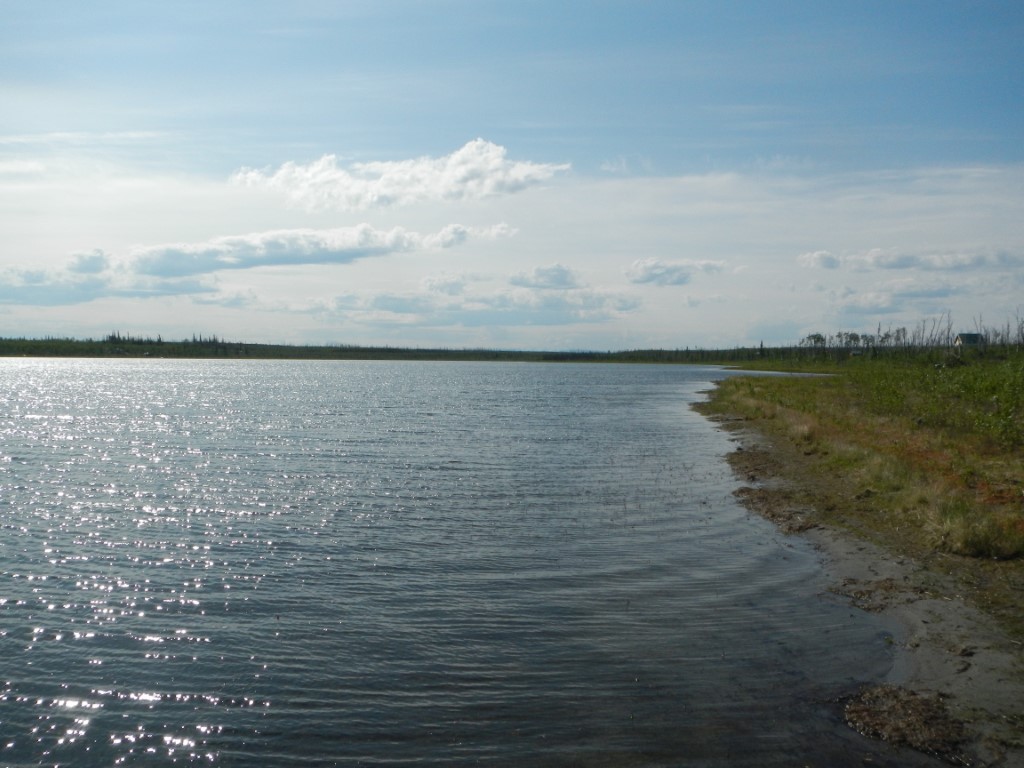
Location
- Latitude: 64.423235
- Longitude: -149.904259
- USGS Map: FAIRBANKS B-6
- Elevation (m): 134
- MTRS: F006S012W03
- Management Area: Fairbanks (Lower Tanana River Drainage)
- Sub Area: Nenana
- Drainage: Kantishna River
Access
- Latitude: 64.423235
- Longitude: -149.904259
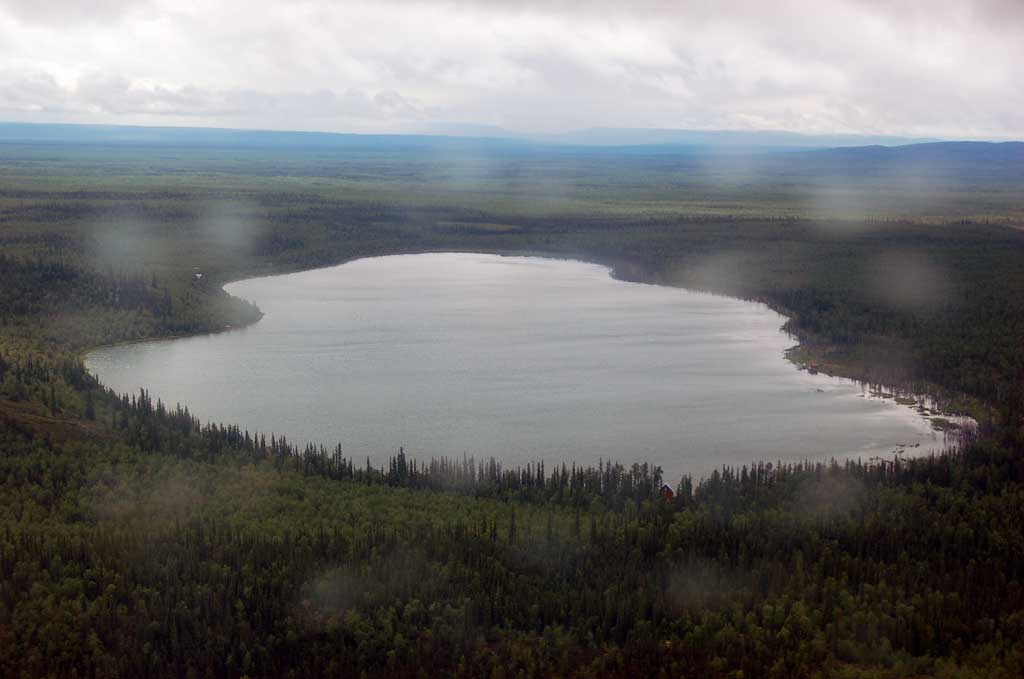
- Directions: Lake is located 26 air miles south west of Nenana.
- Improvements:
- trail
Lake Characteristics
- Surface Area (ha): 85.6
- Bathymetric Map: Dune.jpg
- DUNELAKE.gif
- Lake Category: Landlocked
- Maximum Depth (m): 8.8
- Most Recent Survey Date: 7/28/2006
- Most Recent Survey Notes: From Region III files updated 2011.
Photos