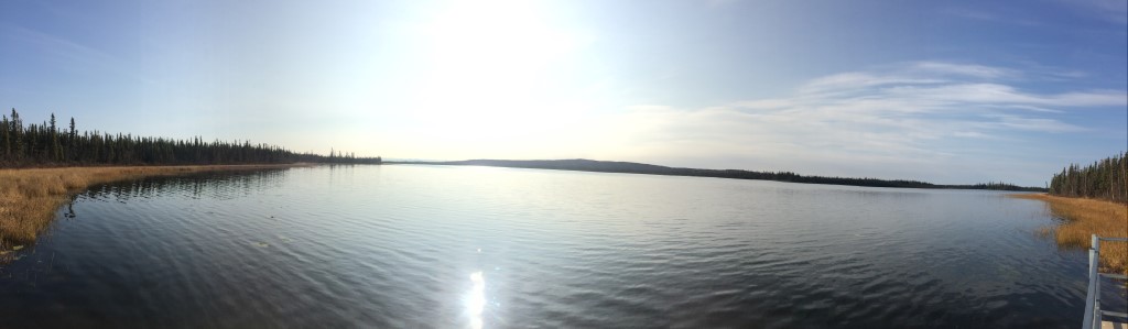
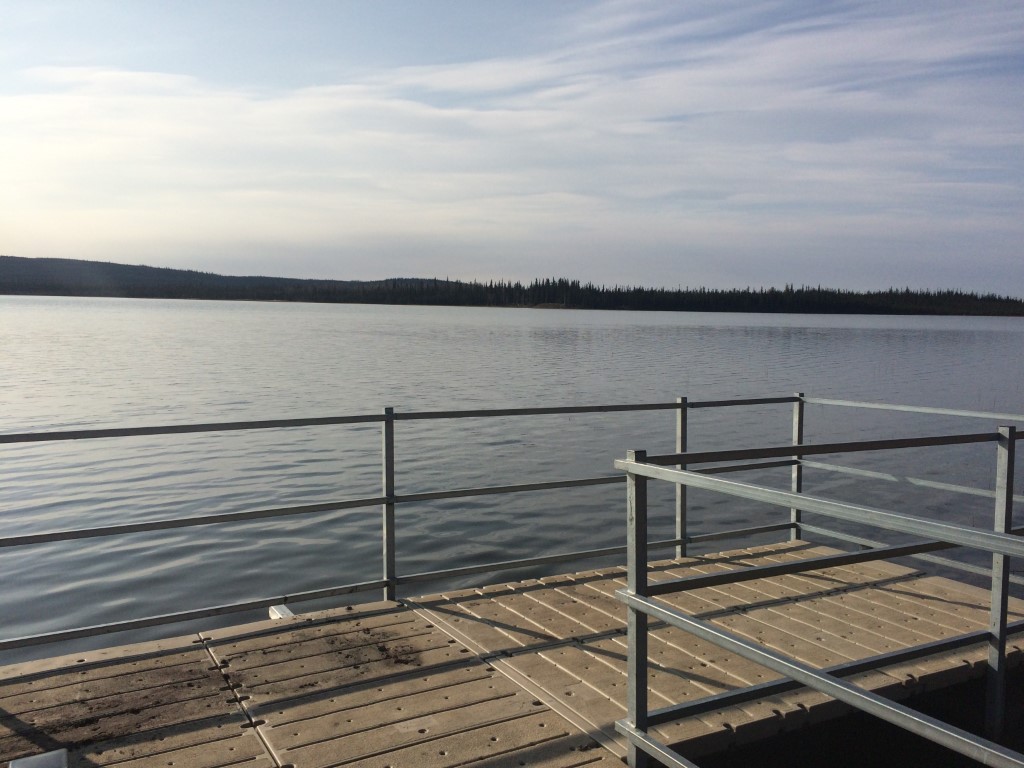
Location
- Latitude: 62.88376
- Longitude: -141.54979
- USGS Map: NABESNA D-2
- Elevation (m): 528
- MTRS: C013N020E25
- Management Area: Delta (Upper Tanana River Drainage)
Access
- Latitude: 62.88376
- Longitude: -141.54979
- Directions: 1249.5 Alaska Hwy, south of Northway.
- Improvements:
- camping
- Notes: campground
- Status: Publically Owned
Lake Characteristics
- Surface Area (ha): 132.8
- Bathymetric Map: Deadman_Lake.pdf
- Deadman Lake (Nabesna) Bath Map.PDF
- Deadman2018_feet.jpg
- Deadman2018.jpg
- Deadman_Lake.kmz
- Lake Category: Open Outlet
- Maximum Depth (m): 10.6
- Most Recent Survey Date: 6/14/2018
- Most Recent Survey Notes: Google Earth and GeoNorth OIM_BDL WMS imagery were used to determine the lake perimeter.
Photos