Location
- Latitude: 62.90736
- Longitude: -145.53322
- USGS Map: GULKANA D-4
- Elevation (m): 237
- MTRS: C013N002W13
- Management Area: Glennallen (Upper Copper-Upper Susitna Drainages)
- Drainage: Gulkana River
Access
- Latitude: 62.90736
- Longitude: -145.53322
- Directions: West of Richardson Hwy and south of Denali Hwy.
Lake Characteristics
- Surface Area (ha): 1569.9
- Bathymetric Map: Paxson2020.jpg
- paxson.gif
- PAXSON LAKE.PDF
- Paxson2020_color.jpg
- Paxson2020_ft.jpg
- Paxson_Lake2020ft.pdf
- Geo-Referenced Bathymetric Maps:
- Paxson2020_GeoPDF.pdf
- Paxson2020_GeoPDF2.pdf
- Lake Category: Open Outlet
- Maximum Depth (m): 29.2
- Most Recent Survey Date: 9/25/2020
- Most Recent Survey Notes: Depth data collected September 21-25, 2020. GeoNorth OIM_BDL WMS imagery was used to determine the lake perimeter.
Photos
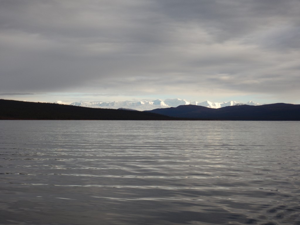
.JPG)