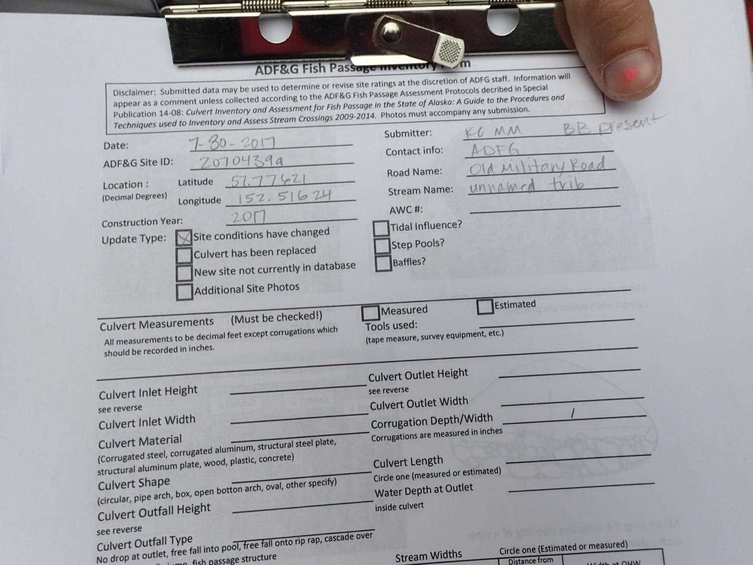
Fish Passage Site 20703949
Coordinates (dec. deg.): 57.77621°, -152.51624°
Legal Description: S028S020W03
Region: Southwest
Road Name: Old Military Road
Datum: WGS84
Quad Name / ITM: Kodiak D-2
AWC Stream #:
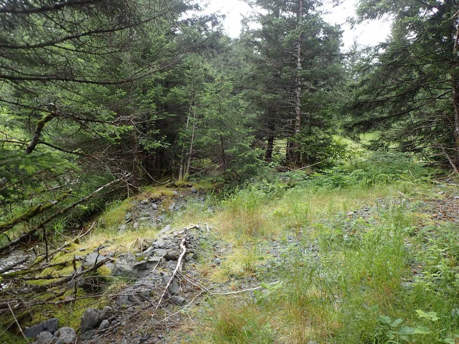
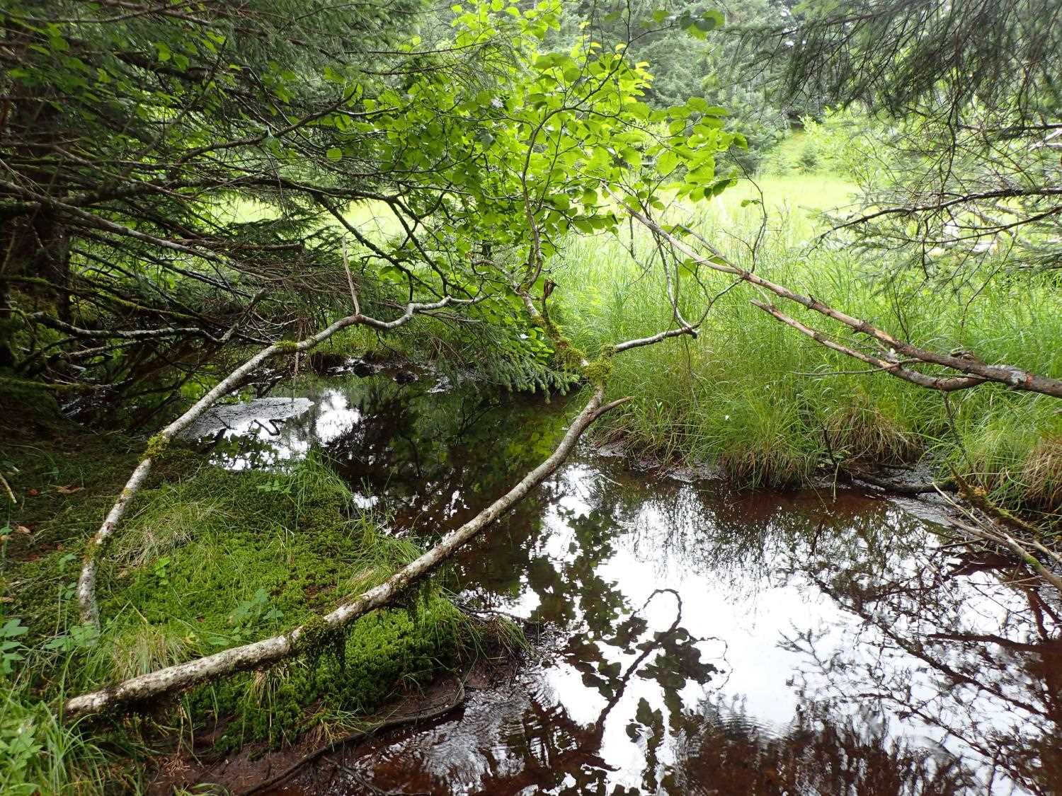
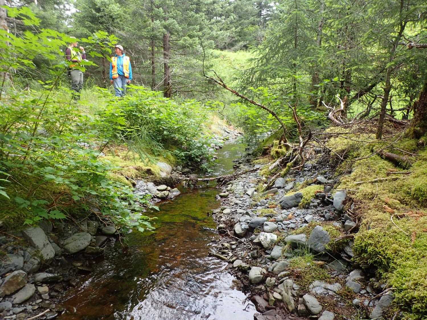
Stream Name: Unnamed
Elevation:
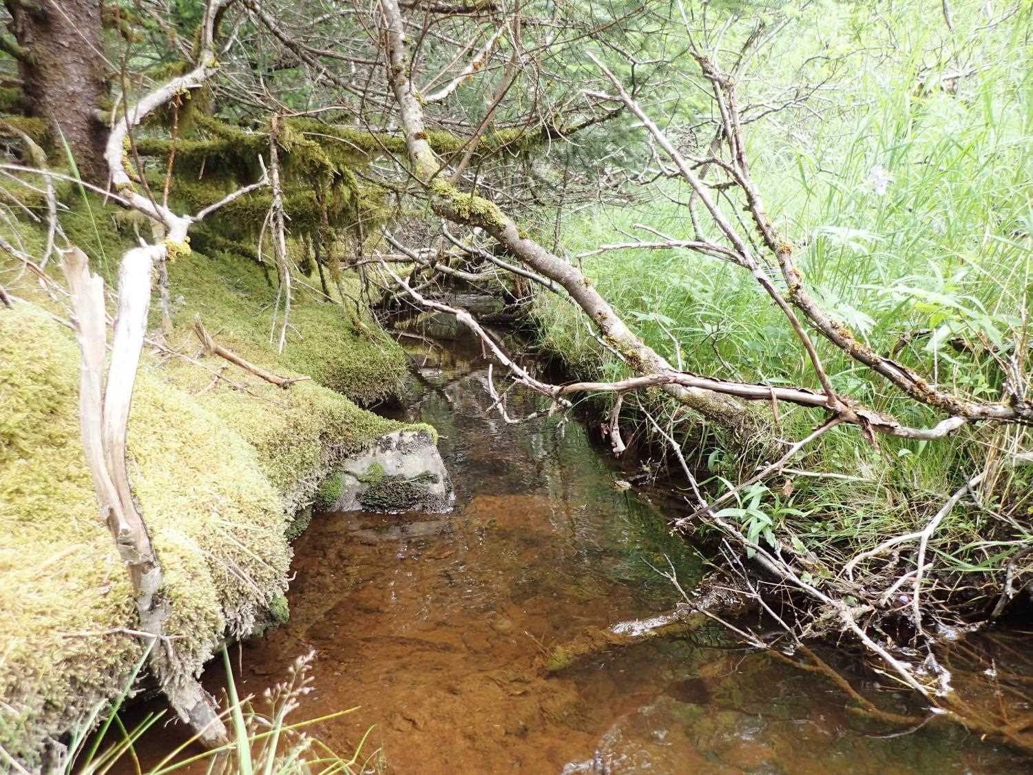
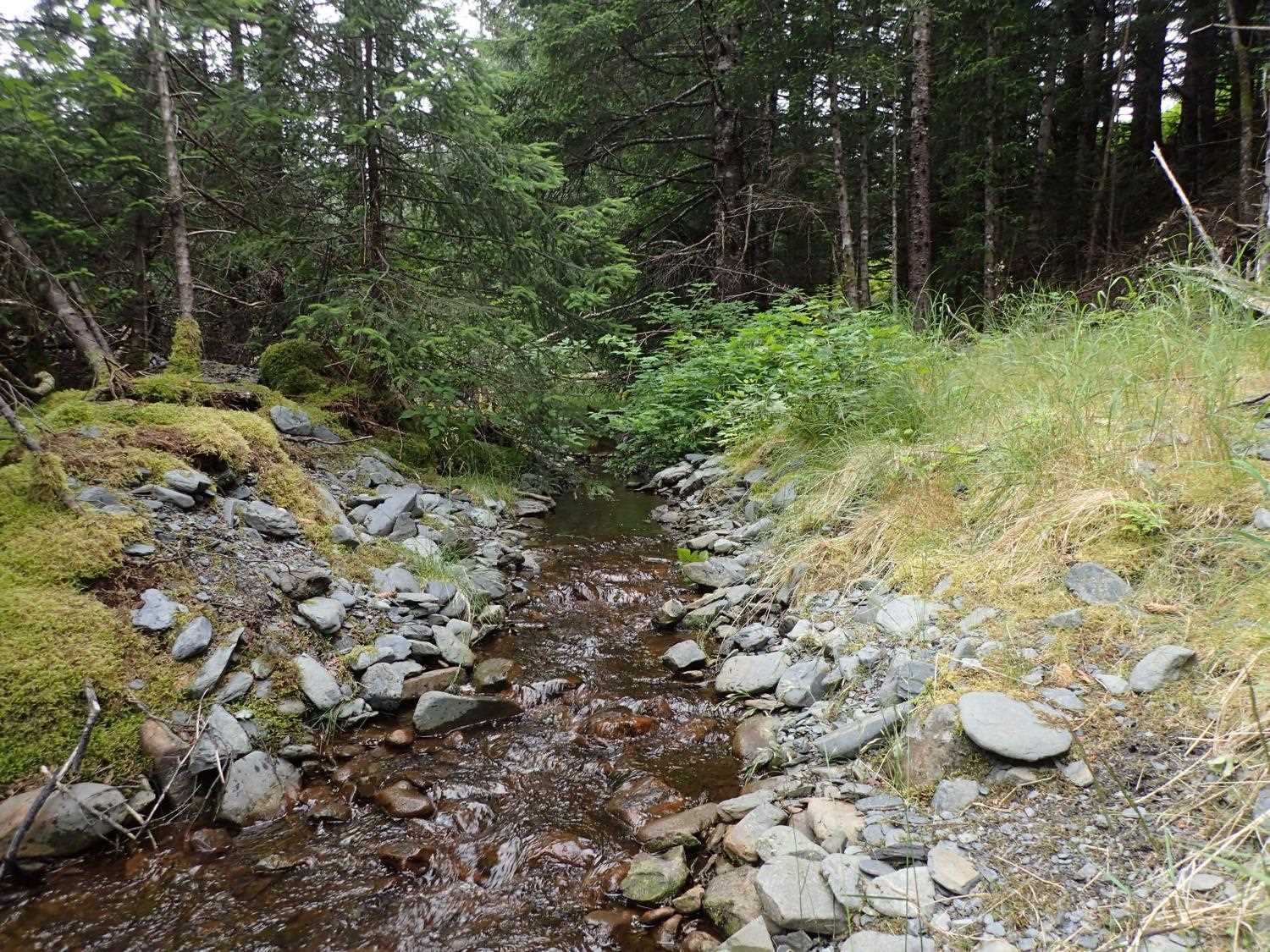
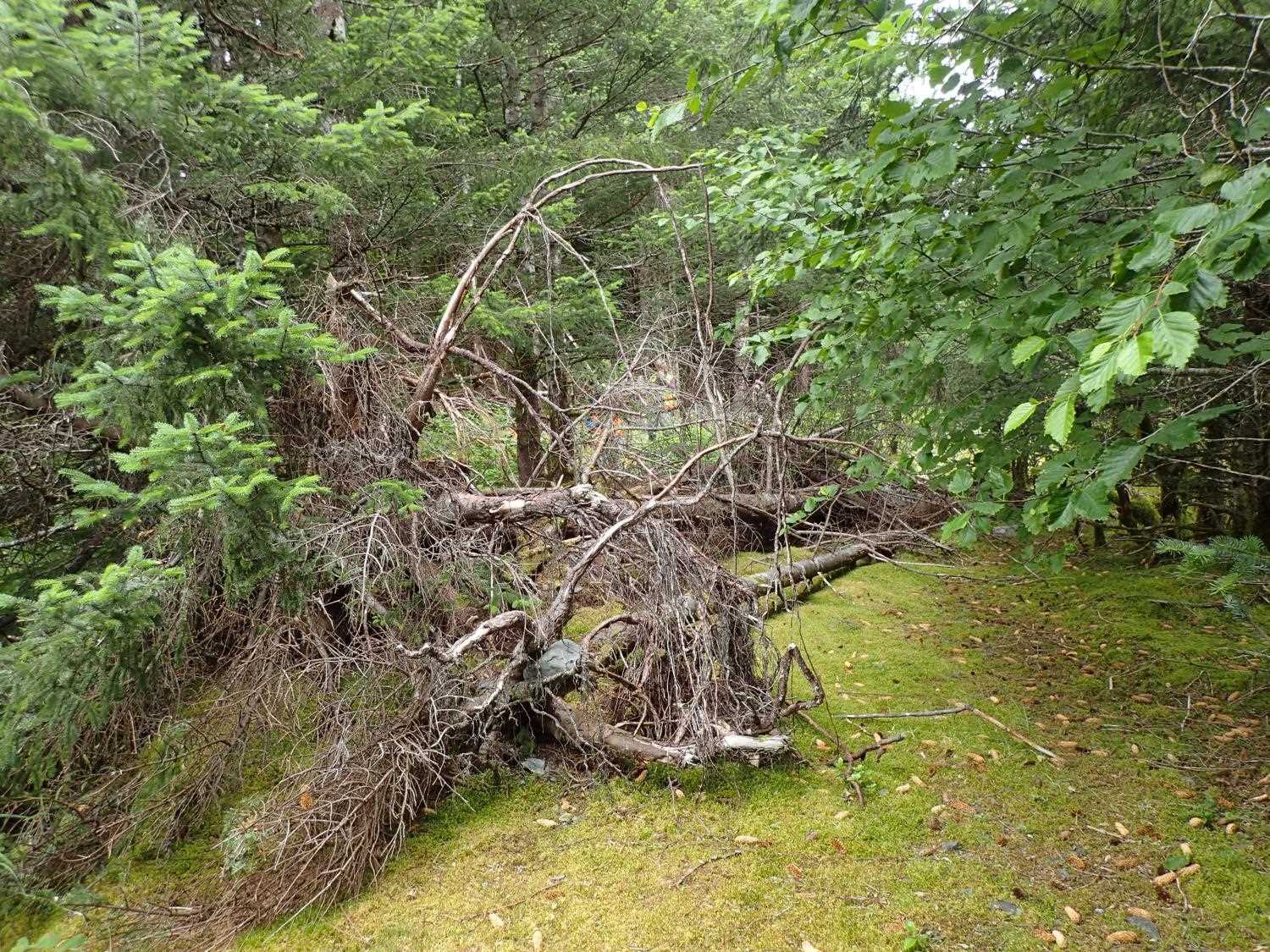
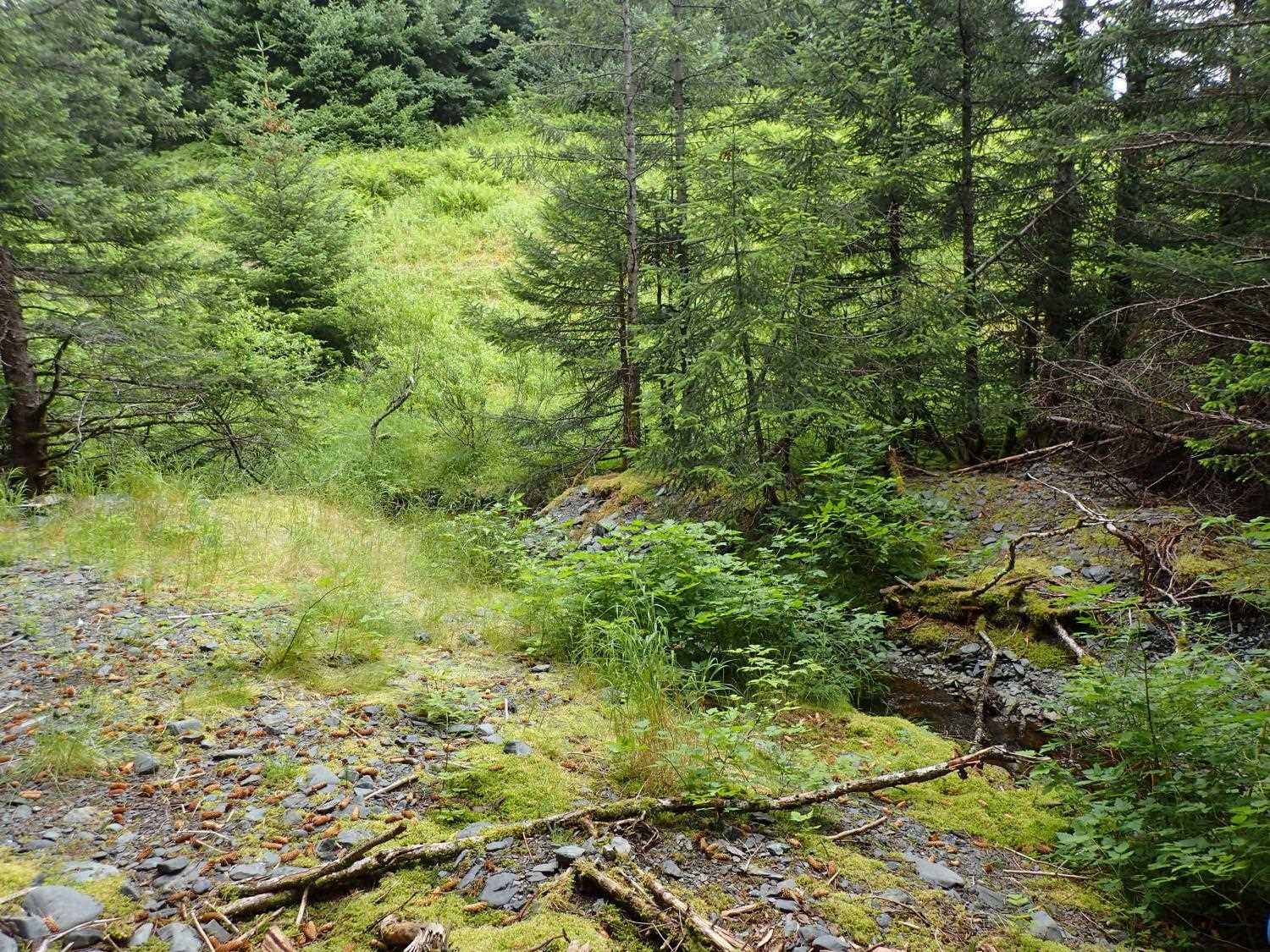
Site Comments: Site is near the radio towers on the USCG base. Upstream from sites 2073438, 20703437, and 20703439. EVOS reports refer to this site as 207034349a.
Survey UPD21-ABD11
Project Supervisor: Kim Clark, ADFG
— Anchorage, AK
Observers: Kim Clark, Michael Mazzacavallo
Overall Fish Passage Rating:
Tidal:
Backwatered:
Step Pools:
Construction Year: 2017
Comments: Culvert was removed in 2017.
Culvert Measurements
No measurement data available.
Stream Measurements
|
|
No stream width data available.
Elevations
No elevation data available.
Fish Sampling Efforts
No fish sampling occurred during this survey.
Fish Observations
No fish observations occurred during this survey.
Photos

Questions or comments about this report can be directed to dfg.dsf.webmaster@alaska.gov