Fish Passage Site 20703947
Coordinates (dec. deg.): 57.75488°, -152.50969°
Legal Description: S028S020W15
Region: Southwest
Road Name: Devils Creek Road
Datum: WGS84
Quad Name / ITM: Kodiak D-2
AWC Stream #: 259-21-10120-2005
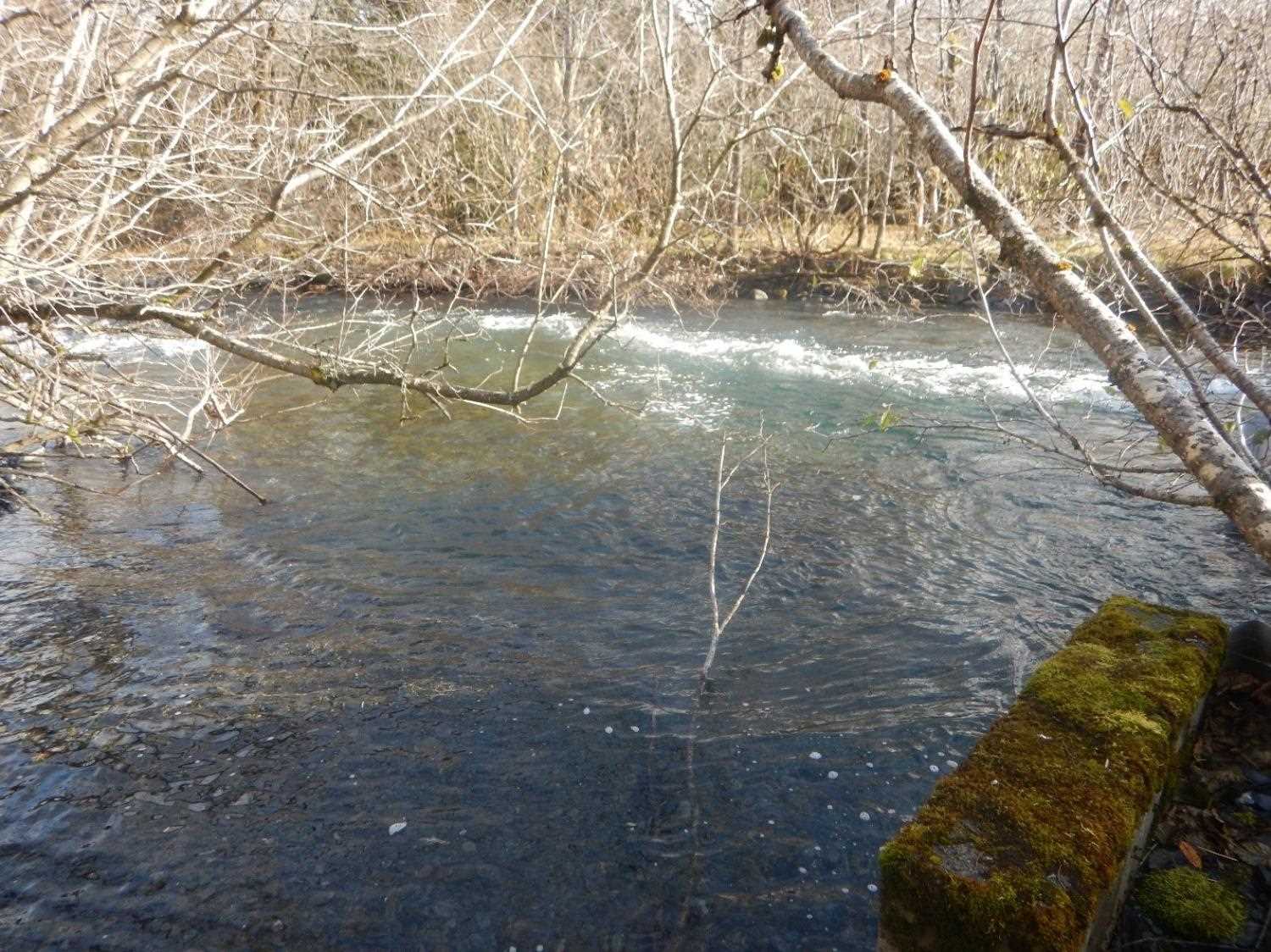
Stream Name: Devils Creek
Elevation:
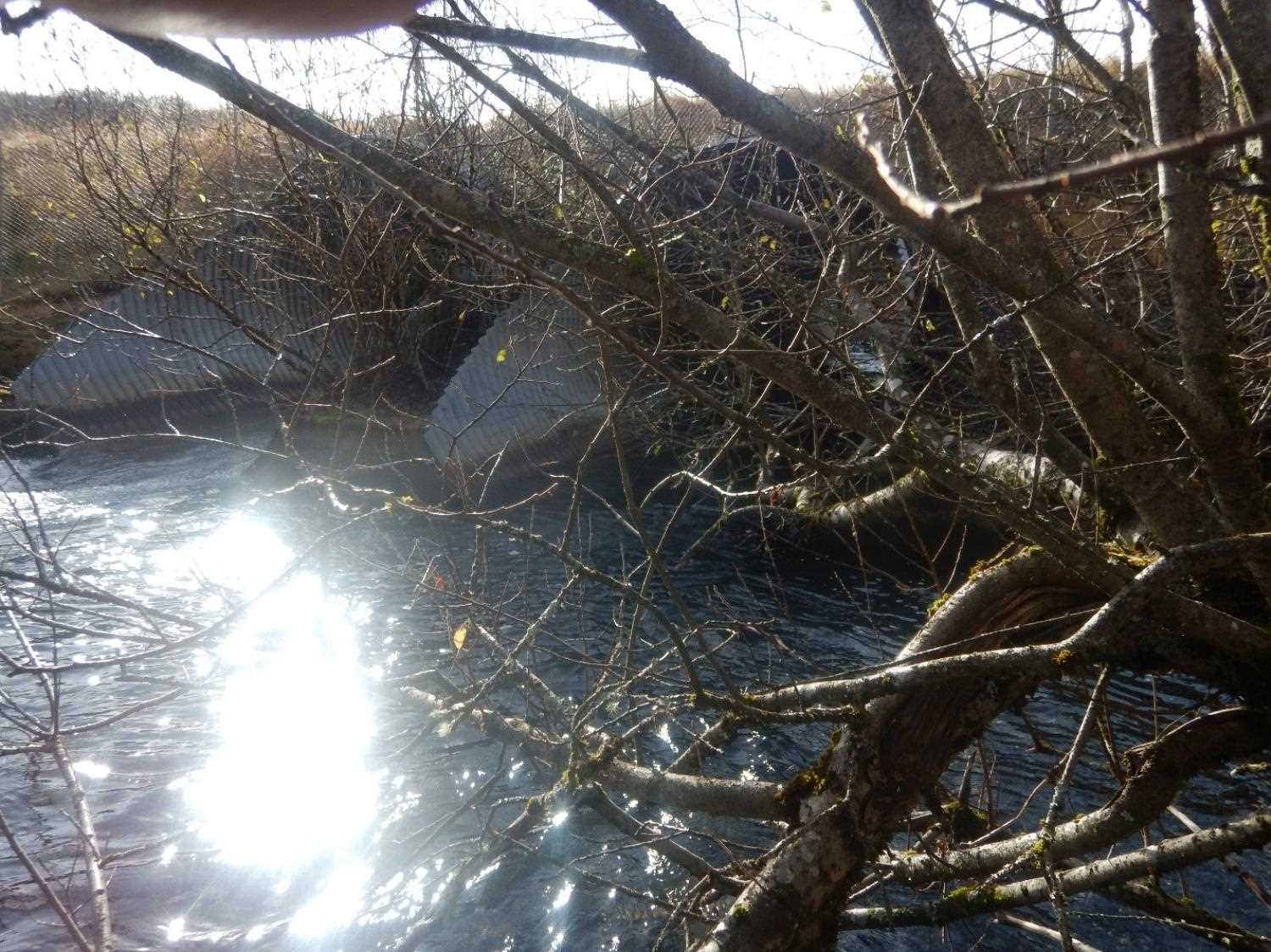
Site Comments: Site is below where Devils Creek passes under the airport runway for about 800 feet. Located under Kodiak Airport perimeter road, no public access to the cuvert inlet.
Survey UPD21-DCR01
Project Supervisor: Kim Clark, ADFG
— Anchorage, AK
Observers: William Frost
Overall Fish Passage Rating:
Tidal:
Backwatered:
Step Pools:
Construction Year:
Comments: New site information submitted by Will Frost. Adult coho observed spawning at the culvert outlet scour pool.
Culvert Measurements
| ID: 1 | Structure Type:N/A | Fish Passage Rating: | |||||||||||||||||||||||||||||||||||||||||
|
|
|
|||||||||||||||||||||||||||||||||||||||||
Comments: Dimensions are estimated: 8 foot circular pipe, 68 feet long, water depth at outlet is about 4 feet. |
|||||||||||||||||||||||||||||||||||||||||||
Stream Measurements
|
|
No stream width data available.
Elevations
No elevation data available.
Fish Sampling Efforts
No fish sampling occurred during this survey.
Fish Observations
No fish observations occurred during this survey.
Photos
Questions or comments about this report can be directed to dfg.dsf.webmaster@alaska.gov