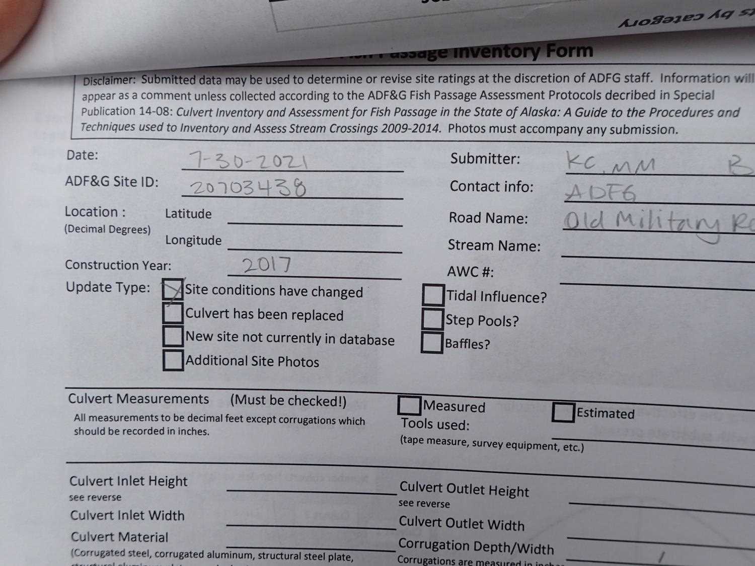
Fish Passage Site 20703438
Coordinates (dec. deg.): 57.77582°, -152.51941°
Legal Description: S028S020W04
Region: Southwest
Road Name: Old Military Road
Datum: WGS84
Quad Name / ITM: Kodiak D-2
AWC Stream #: 259-21-10120-2012
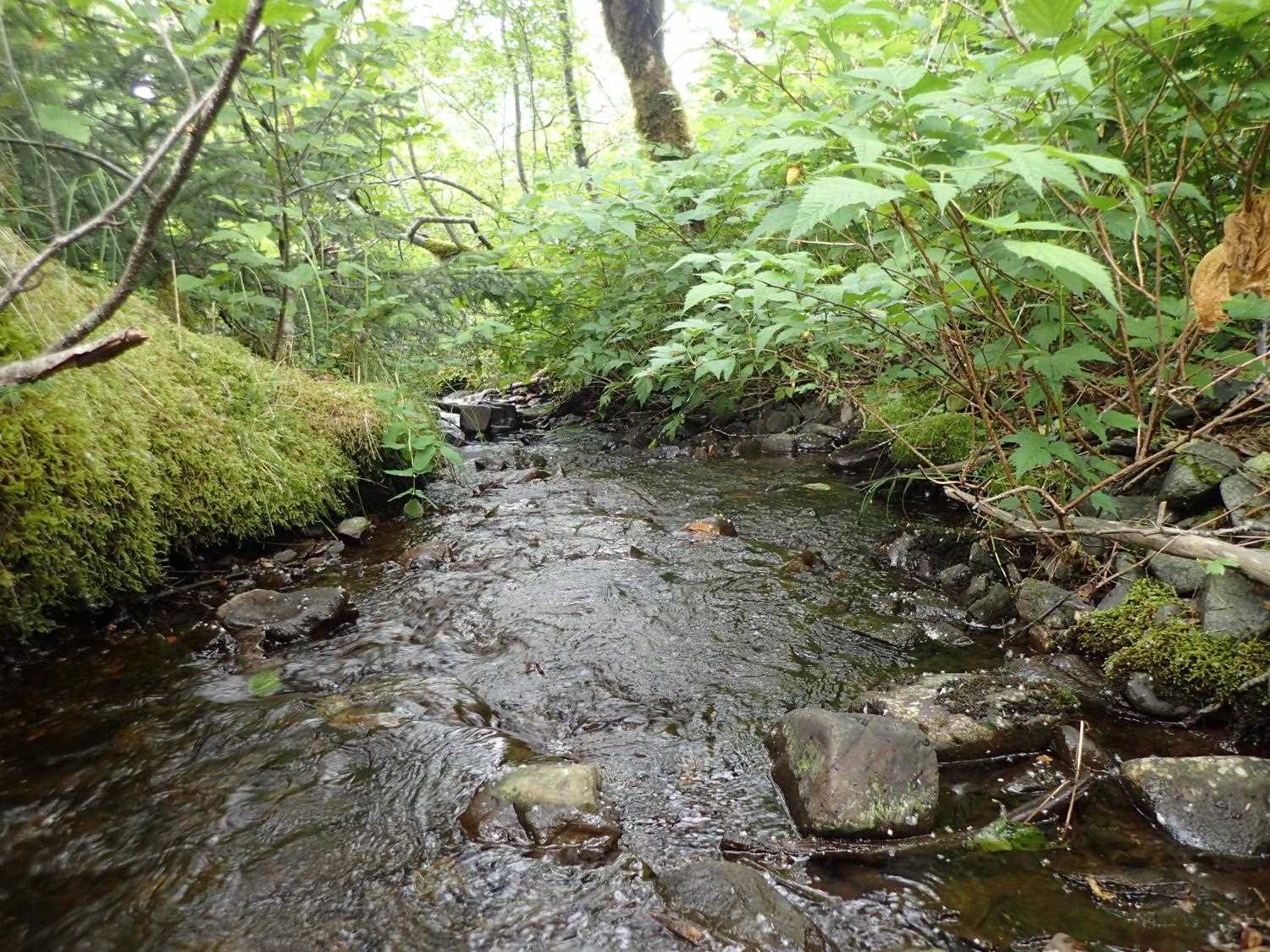
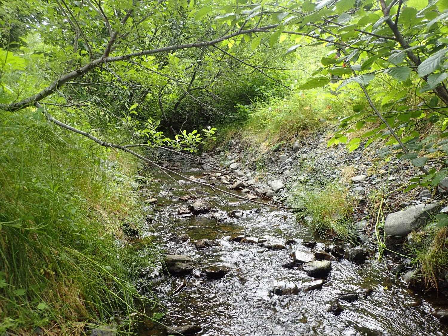
Stream Name: Unnamed
Elevation:
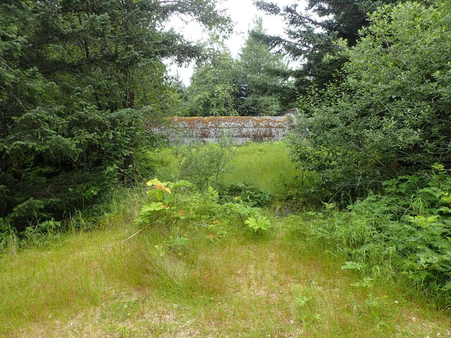
Site Comments: In area referred to as Antenna Area on USCG land.
arrow to the right of the survey date below to choose a different report for this site.
Survey UPD21-ABD03
Project Supervisor: Kim Clark, ADFG
— Anchorage, AK
Observers: Kim Clark, Michael Mazzacavallo, Blythe Brown
Overall Fish Passage Rating:
Tidal:
Backwatered:
Step Pools:
Construction Year: 2017
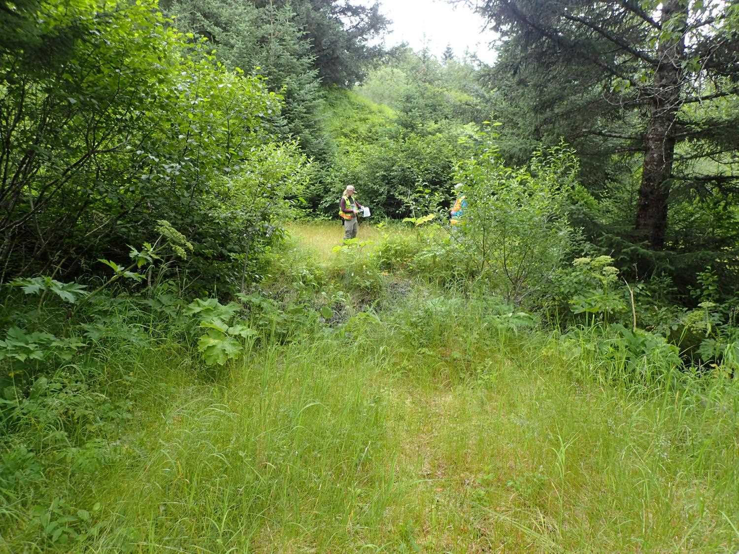
Comments: Site was removed in 2017.
Culvert Measurements
No measurement data available.
Stream Measurements
|
|
No stream width data available.
Elevations
No elevation data available.
Fish Sampling Efforts
No fish sampling occurred during this survey.
Fish Observations
No fish observations occurred during this survey.
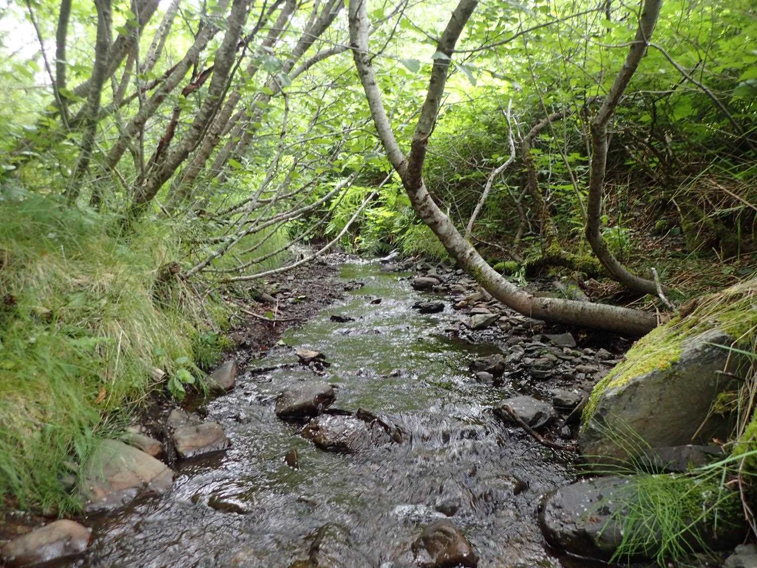
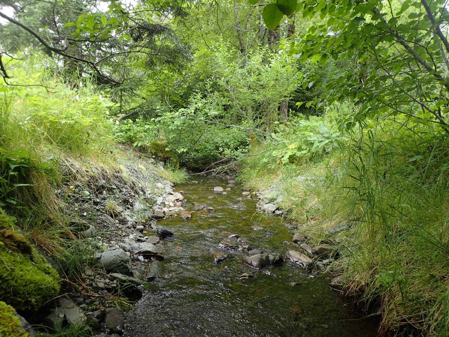
Photos
Questions or comments about this report can be directed to dfg.dsf.webmaster@alaska.gov