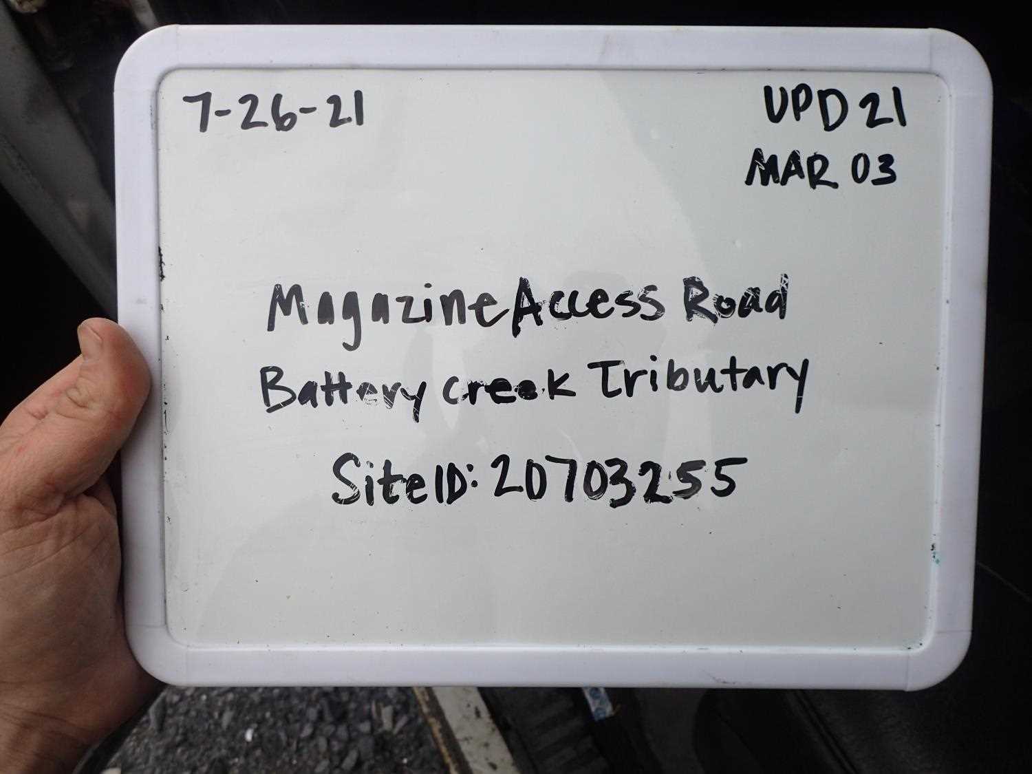
Fish Passage Site 20703255
Coordinates (dec. deg.): 57.76631°, -152.53383°
Legal Description: S028S020W09
Region: Southwest
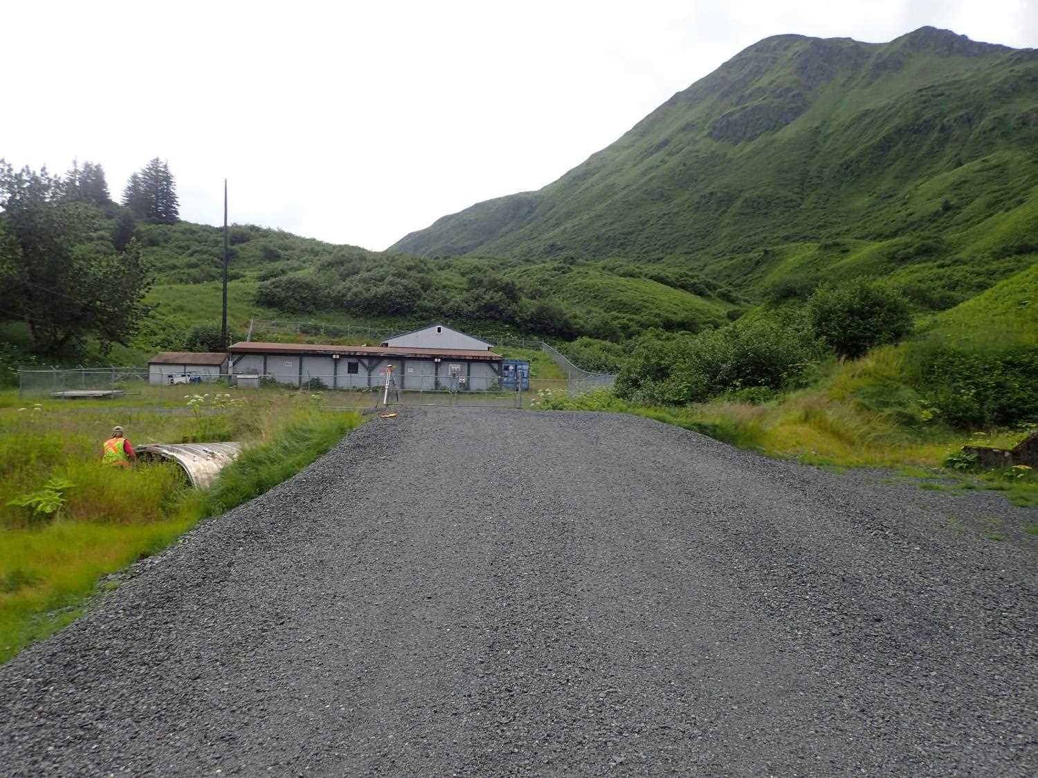
Road Name: Magazine Access Road
Datum: WGS84
Quad Name / ITM: Kodiak D-2
AWC Stream #:
Stream Name: Battery Creek Tributary
Elevation:
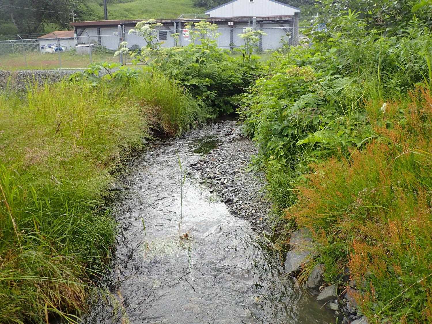
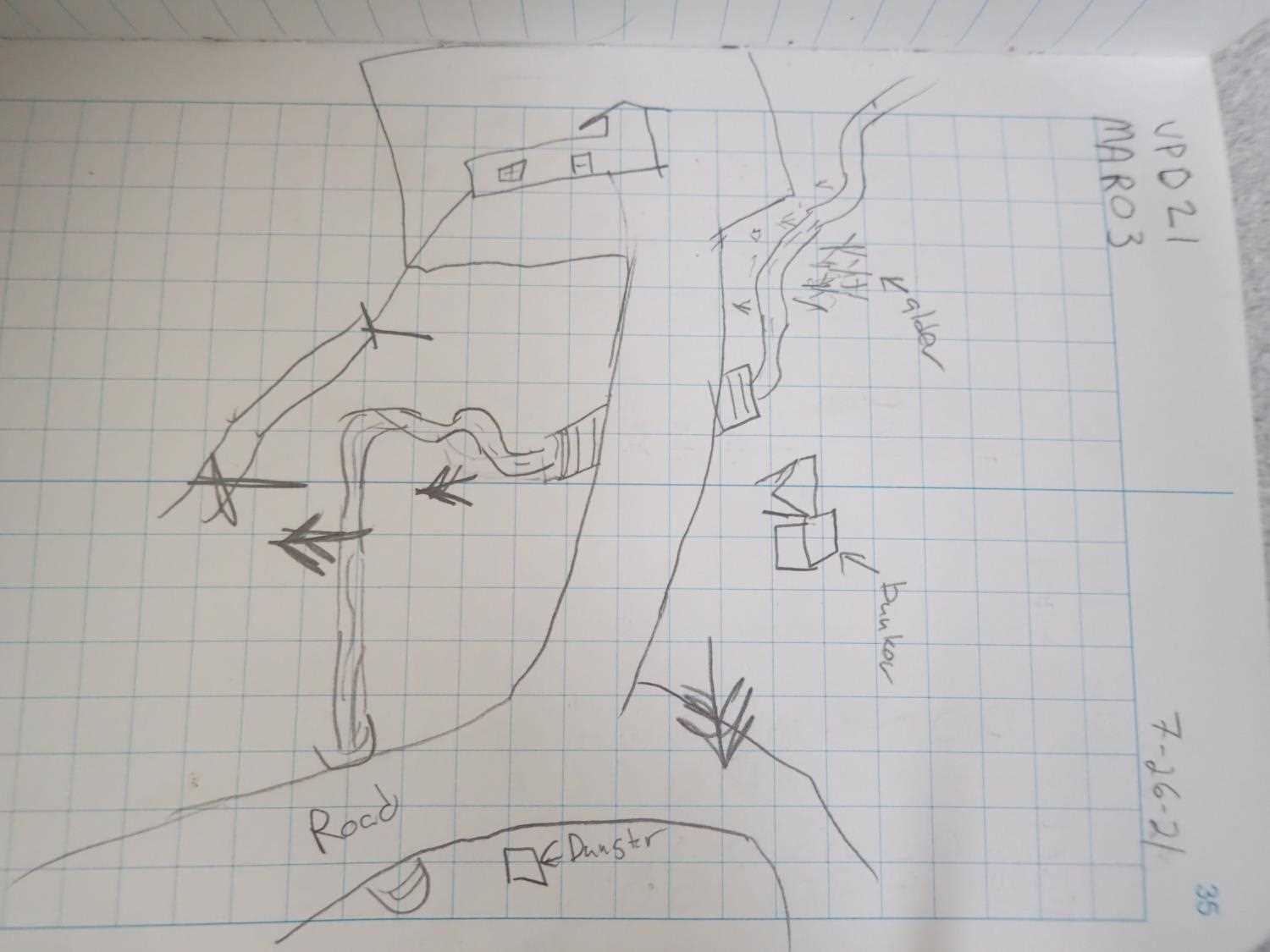
Site Comments: Culvert is on a access road directly off Gunnery Drive around MP 0.5. Culvert is about 250 ft above KOD05 and stream is an unnamed tributary to Battery Creek.
arrow to the right of the survey date below to choose a different report for this site.
Survey UPD21-MAR03
Project Supervisor: Kim Clark, ADFG
— Anchorage, AK
Observers: Kim Clark, Michael Mazzacavallo
Overall Fish Passage Rating:
Tidal: No
Backwatered: No
Step Pools: No
Construction Year: 2019
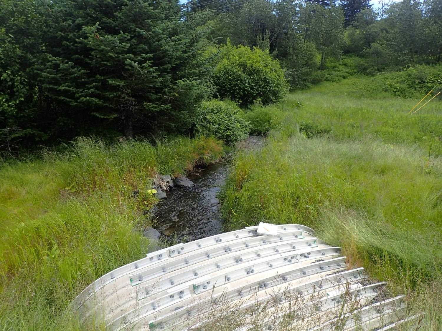
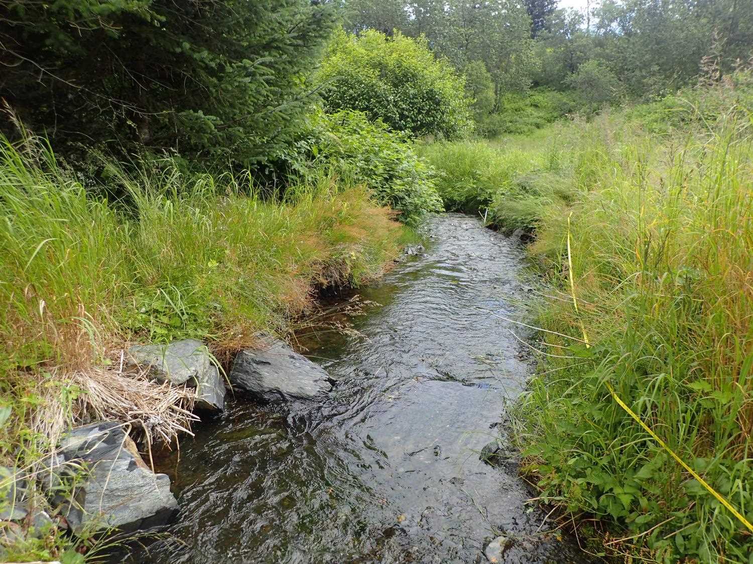
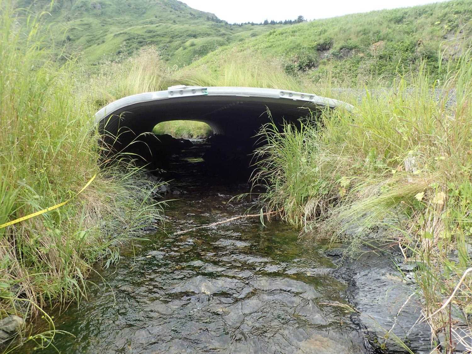
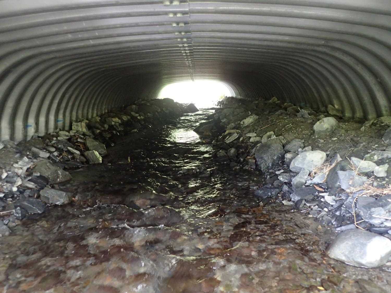
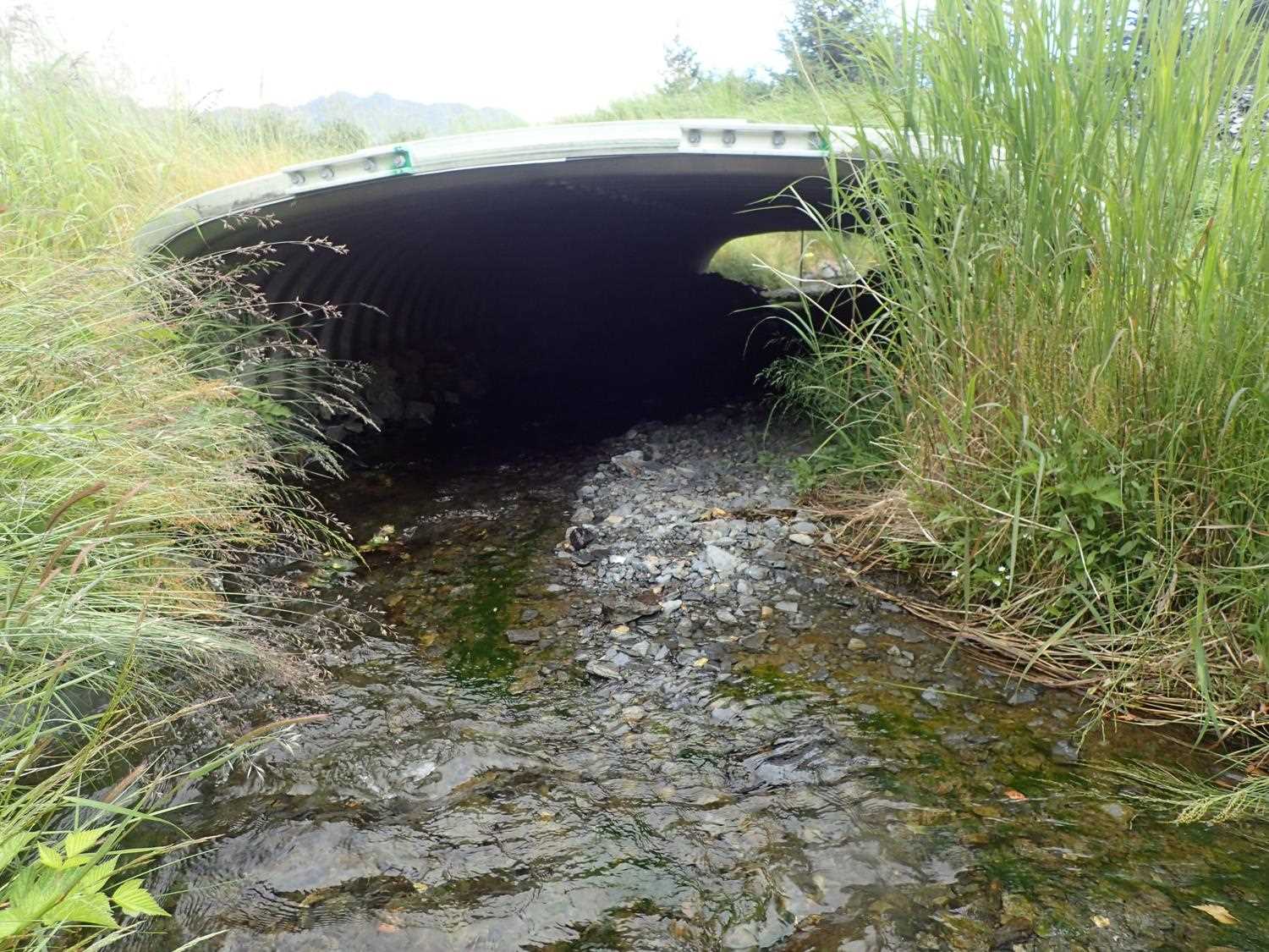
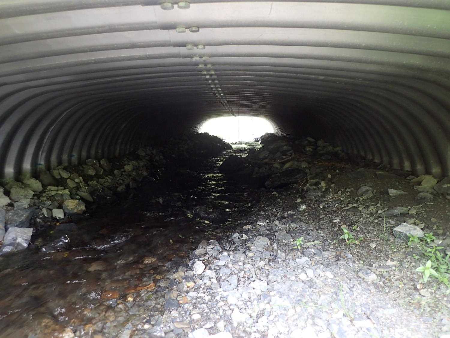
Comments: Boulders are placed along the L Bank downstream. Stream was rerouted when the culvert was replaced. Juvenile salmonids observed upstream of culvert. Banks and channel features present inside culvert.
Culvert Measurements
| ID: 1 | Structure Type: Box culvert (Structural aluminum plate) | Fish Passage Rating: | ||||||||||||||||||||||||||||||||||||||||||
|
|
|
||||||||||||||||||||||||||||||||||||||||||
Comments: Pipe Gradient calculations Top: 2.23%, Water Surface: 2.62%, Invert 1.75% Pipe dimensions per designs: 13'3" x 6'9" x 54" |
||||||||||||||||||||||||||||||||||||||||||||
Stream Measurements
|
|
| Stream Width Type | Distance From Crossing (ft) |
Stream Width (ft) |
|---|---|---|
| Downstream ordinary high water | 17.0 | 5.65 |
| Downstream ordinary high water | 27.0 | 4.92 |
| Downstream ordinary high water | 32.0 | 4.10 |
Elevations
| Locator ID | Culvert Number |
River Distance (ft)1 |
Distance From Crossing (ft)2 |
Relative Elevation (ft) |
|---|---|---|---|---|
| Road Elev | 100.95 | |||
| D/S Thalweg | 0.00 | 93.83 | ||
| D/S Water Surface Elev | 0.00 | 94.22 | ||
| D/S Thalweg (pool) | 9.00 | 93.34 | ||
| D/S Water Surface Elev | 9.00 | 94.20 | ||
| D/S Water Surface Elev | 15.00 | 93.34 | ||
| D/S Thalweg | 15.00 | 94.10 | ||
| Outlet Invert | 25.00 | 94.32 | ||
| D/S Water Surface Elev | 25.00 | 94.55 | ||
| Outlet Culvert Top | 25.00 | 98.79 | ||
| Inlet Culvert Top | 79.27 | 100.00 | ||
| Inlet Culvert Invert | 79.27 | 95.27 | ||
| U/S Water Surface Elev | 79.27 | 95.97 | ||
| U/S Thalweg (head of riffle, bottom of glide) | 107.27 | 96.27 | ||
| U/S Water Surface Elev | 107.27 | 96.44 |
Notes:
- River distance is measured continuously throughout the survey reach along the thalweg of the stream.
- Measured from each end of the crossing along the thalweg of the stream.
Fish Sampling Efforts
No fish sampling occurred during this survey.
Fish Observations
No fish observations occurred during this survey.
Photos


Questions or comments about this report can be directed to dfg.dsf.webmaster@alaska.gov