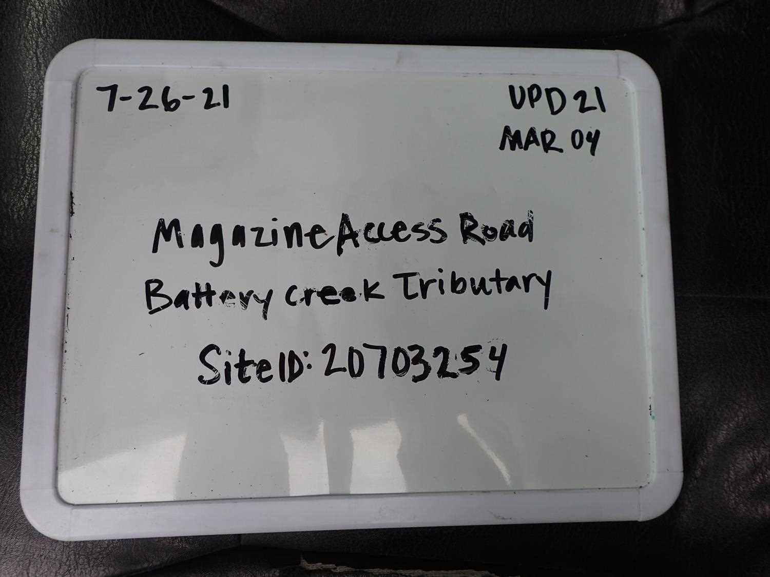
Fish Passage Site 20703254
Coordinates (dec. deg.): 57.76665°, -152.53308°
Legal Description: S028S020W09
Region: Southwest
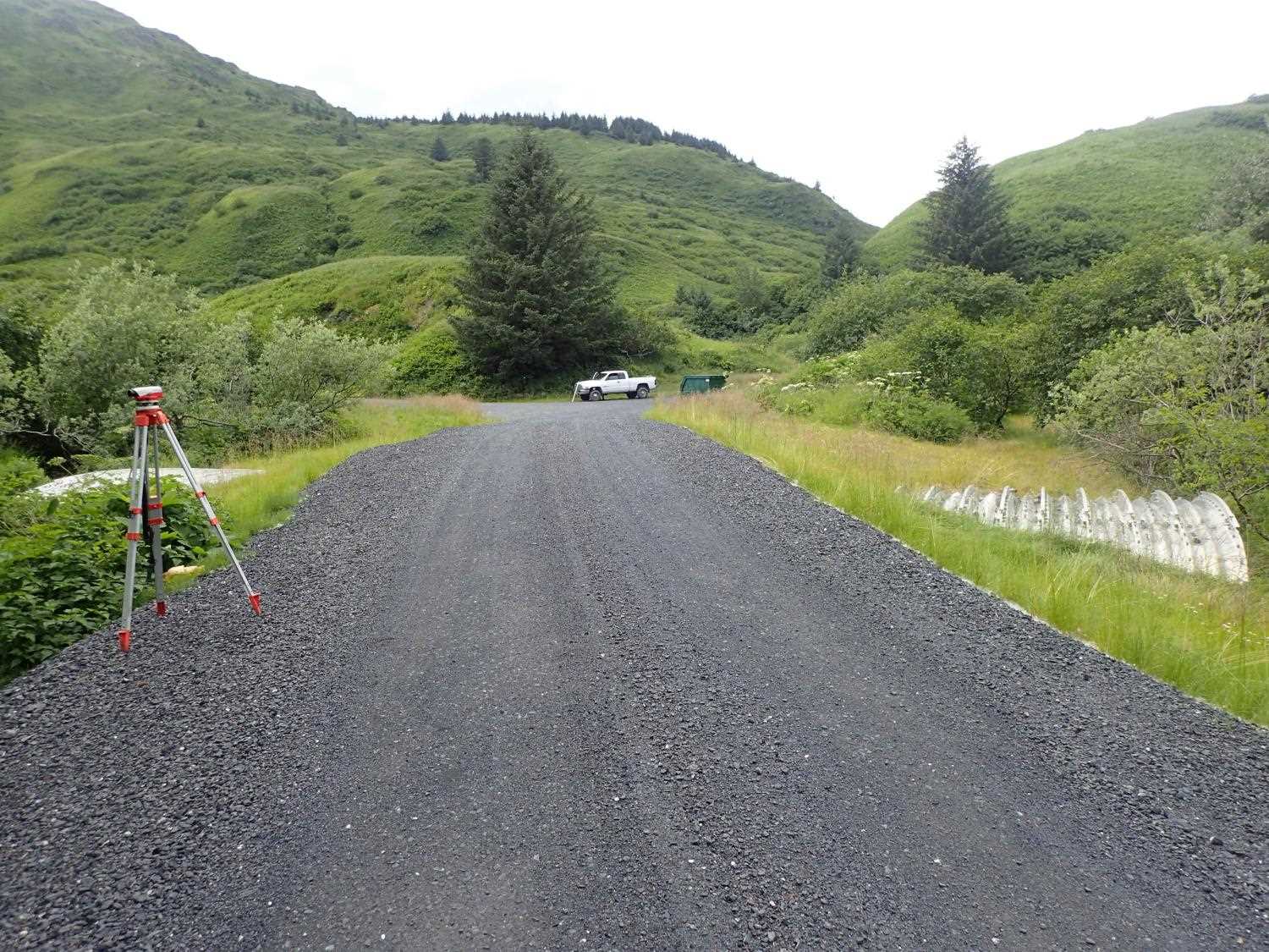
Road Name: USGS Battery Road
Datum: WGS84
Quad Name / ITM: Kodiak D-2
AWC Stream #: 259-21-10120-2011
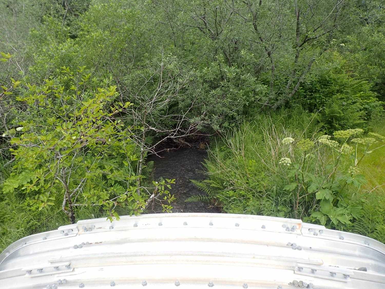
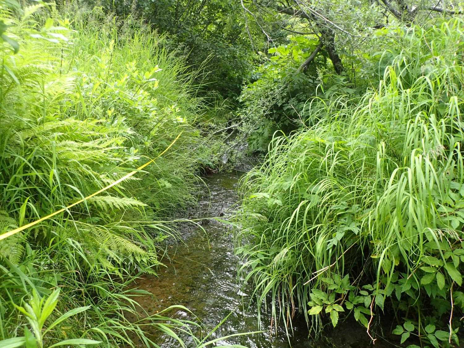
Stream Name: Battery Creek Tributary
Elevation:
Site Comments: Culvert is on a road owned by the Coast Guard base.
arrow to the right of the survey date below to choose a different report for this site.
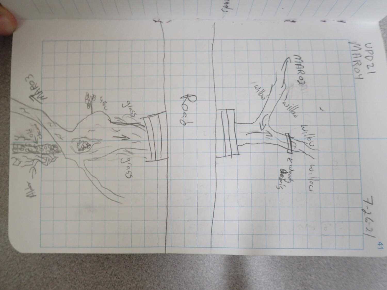
Survey UPD21-MAR04
Project Supervisor: Kim Clark, ADFG
— Anchorage, AK
Observers: Kim Clark, Michael Mazzacavallo
Overall Fish Passage Rating:
Tidal: No
Backwatered: No
Step Pools: No
Construction Year: 2019
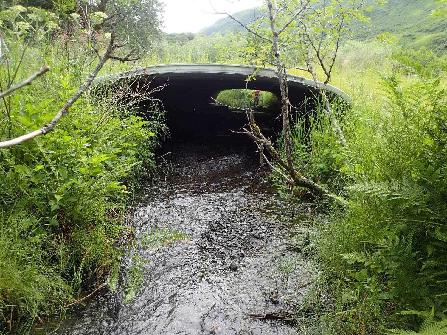
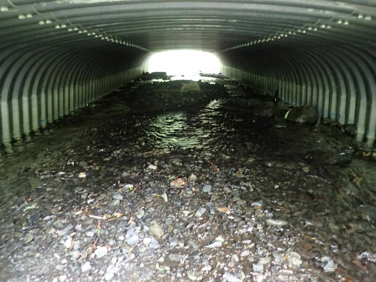
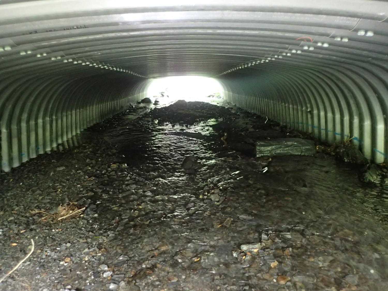
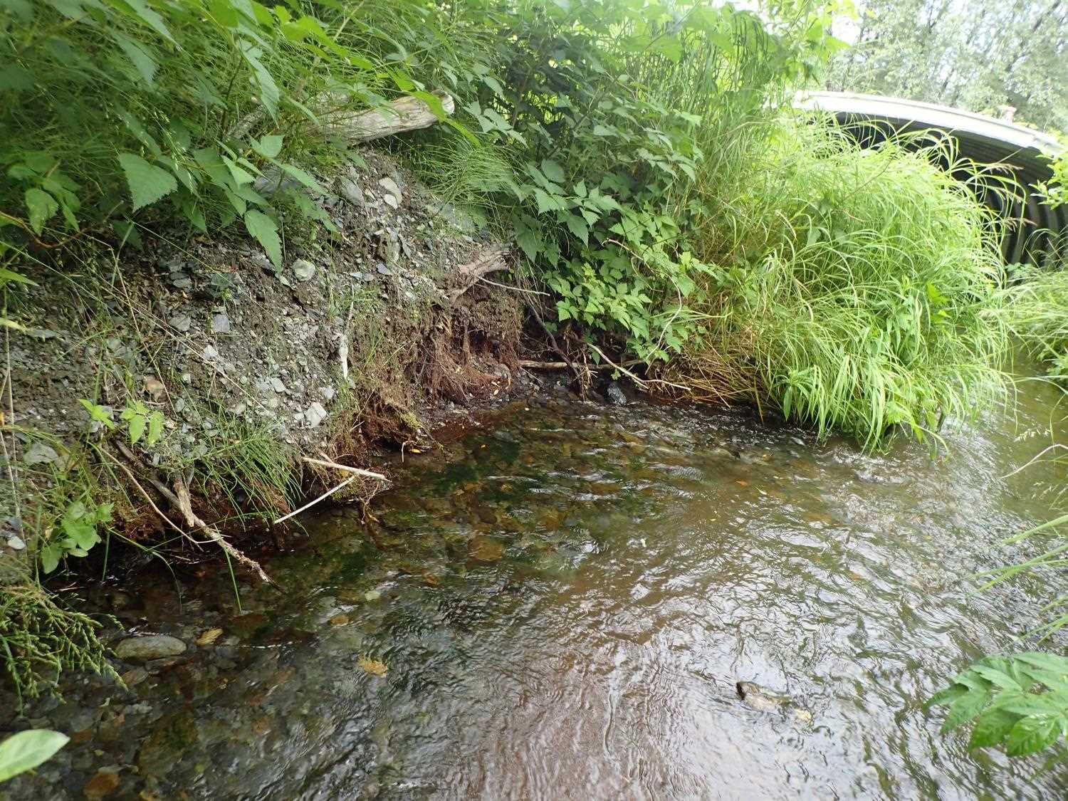
Comments: There is a confluence below outlet with another channel. Thalweg splits in 2 around island at outlet. Mild sag on top inside of culvert.
Culvert Measurements
| ID: 1 | Structure Type: Box culvert (Structural aluminum plate) | Fish Passage Rating: | ||||||||||||||||||||||||||||||||||||||||||
|
|
|
||||||||||||||||||||||||||||||||||||||||||
Comments: Measured Pipe gradient: Top: 2.99%, Water Surface: 2.89%, Invert: 2.78% Culvert dimensions from designs: 13'3" x 6'9" |
||||||||||||||||||||||||||||||||||||||||||||
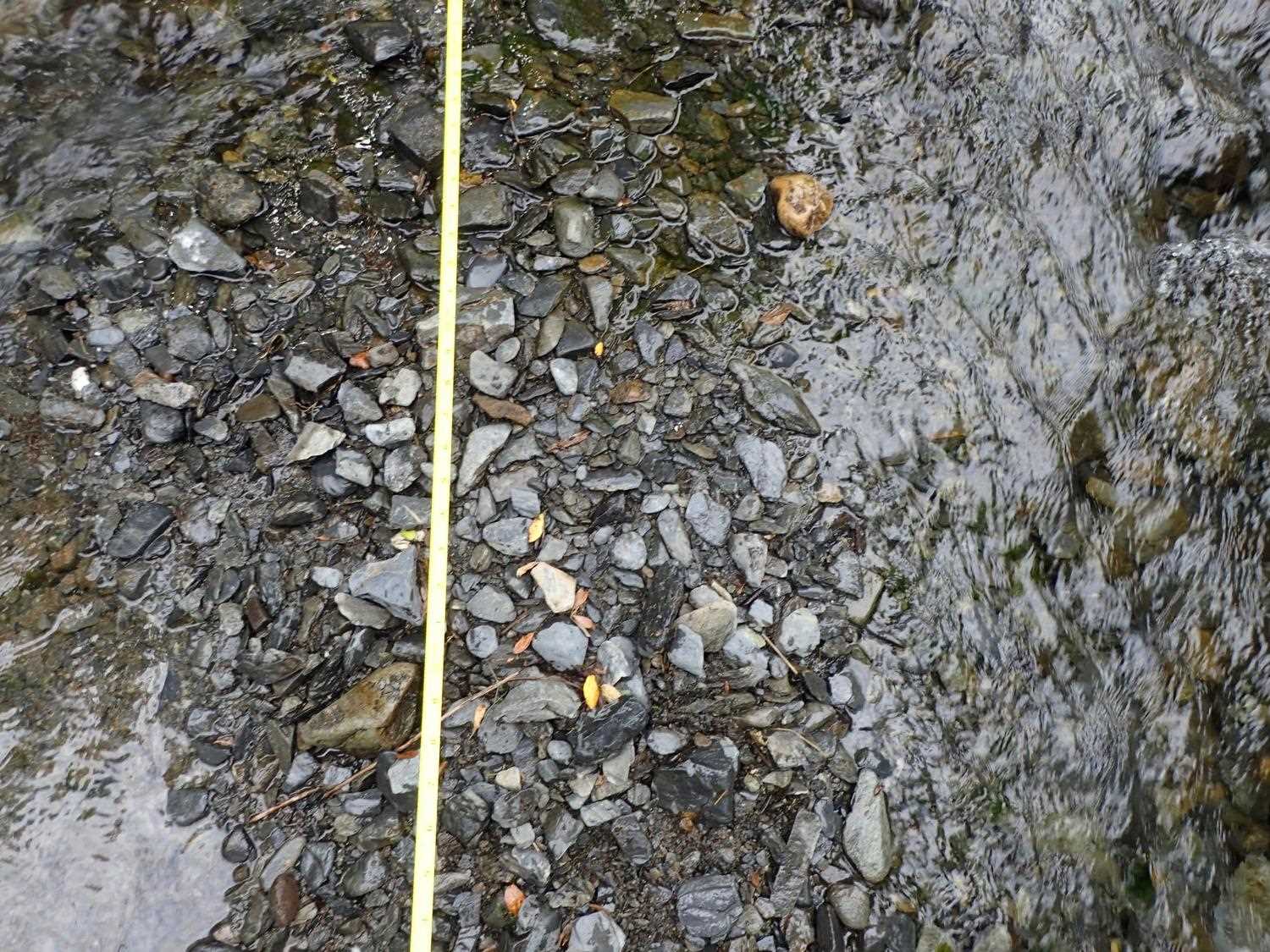
Stream Measurements
|
|
| Stream Width Type | Distance From Crossing (ft) |
Stream Width (ft) |
|---|---|---|
| Upstream ordinary high water | 37.0 | 8.10 |
| Upstream ordinary high water | 41.0 | 6.30 |
| Upstream ordinary high water | 46.0 | 3.70 |
Elevations
| Locator ID | Culvert Number |
River Distance (ft)1 |
Distance From Crossing (ft)2 |
Relative Elevation (ft) |
|---|---|---|---|---|
| Road Elev (road surface) | 102.60 | |||
| D/S Thalweg (pool depth) | 0.00 | 91.63 | ||
| D/S Water Surface Elev | 0.00 | 93.73 | ||
| D/S Thalweg (on top of wood) | 3.00 | 93.76 | ||
| D/S Water Surface Elev | 3.00 | 94.10 | ||
| D/S Water Surface Elev | 16.00 | 94.49 | ||
| D/S Thalweg | 16.00 | 93.64 | ||
| Outlet Culvert Top | 36.00 | 100.00 | ||
| Outlet Invert | 36.00 | 94.73 | ||
| D/S Water Surface Elev | 36.00 | 95.13 | ||
| Inlet Culvert Invert | 99.30 | 96.49 | ||
| U/S Water Surface Elev | 99.30 | 96.96 | ||
| Inlet Culvert Top | 99.30 | 101.89 | ||
| U/S Water Surface Elev | 113.30 | 97.03 | ||
| U/S Thalweg | 113.30 | 96.26 | ||
| U/S Thalweg | 135.30 | 97.45 | ||
| U/S Water Surface Elev | 135.30 | 97.63 |
Notes:
- River distance is measured continuously throughout the survey reach along the thalweg of the stream.
- Measured from each end of the crossing along the thalweg of the stream.
Fish Sampling Efforts
No fish sampling occurred during this survey.
Fish Observations
No fish observations occurred during this survey.
Photos


Questions or comments about this report can be directed to dfg.dsf.webmaster@alaska.gov