Fish Passage Site 20703086
Coordinates (dec. deg.): 57.78255°, -152.56643°
Legal Description: S028S020W05
Region: Southwest
Road Name: Old Military Road
Datum: WGS84
Quad Name / ITM: Kodiak D-2
AWC Stream #:
Stream Name: Unnamed Stream
Elevation:
Site Comments: Survey performed by Kodiak Soil and Water Conservation District for Kodiak Stream Crossing Culvert Assessment Project. Milepost 3.1
arrow to the right of the survey date below to choose a different report for this site.
Survey UPD21-ABD09
Project Supervisor: Kim Clark, ADFG
— Anchorage, AK
Observers: Kim Clark, Michael Mazzacavallo, Blythe Brown
Overall Fish Passage Rating:
Tidal:
Backwatered:
Step Pools:
Construction Year: 2012
Comments: Culvert was removed in 2012. Juvenile salmon observed during site visit.
Culvert Measurements
No measurement data available.
Stream Measurements
|
|
No stream width data available.
Elevations
No elevation data available.
Fish Sampling Efforts
No fish sampling occurred during this survey.
Fish Observations
No fish observations occurred during this survey.
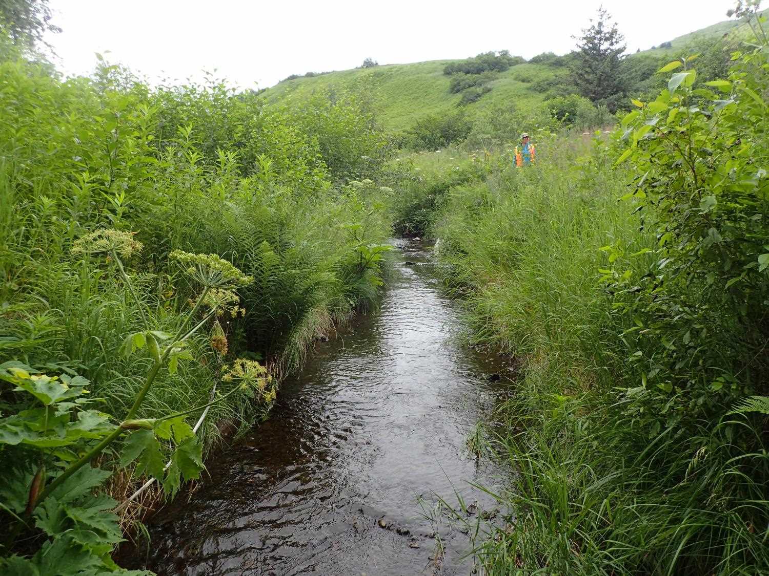
Photos


Questions or comments about this report can be directed to dfg.dsf.webmaster@alaska.gov