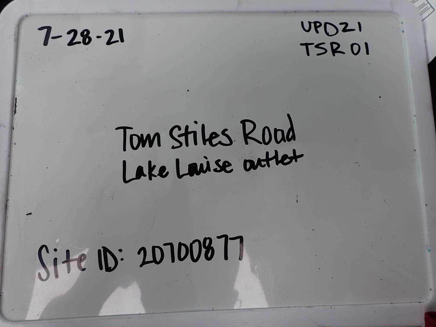
Fish Passage Site 20700877
Coordinates (dec. deg.): 57.76503°, -152.50283°
Legal Description: S028S020W10
Region: Southwest
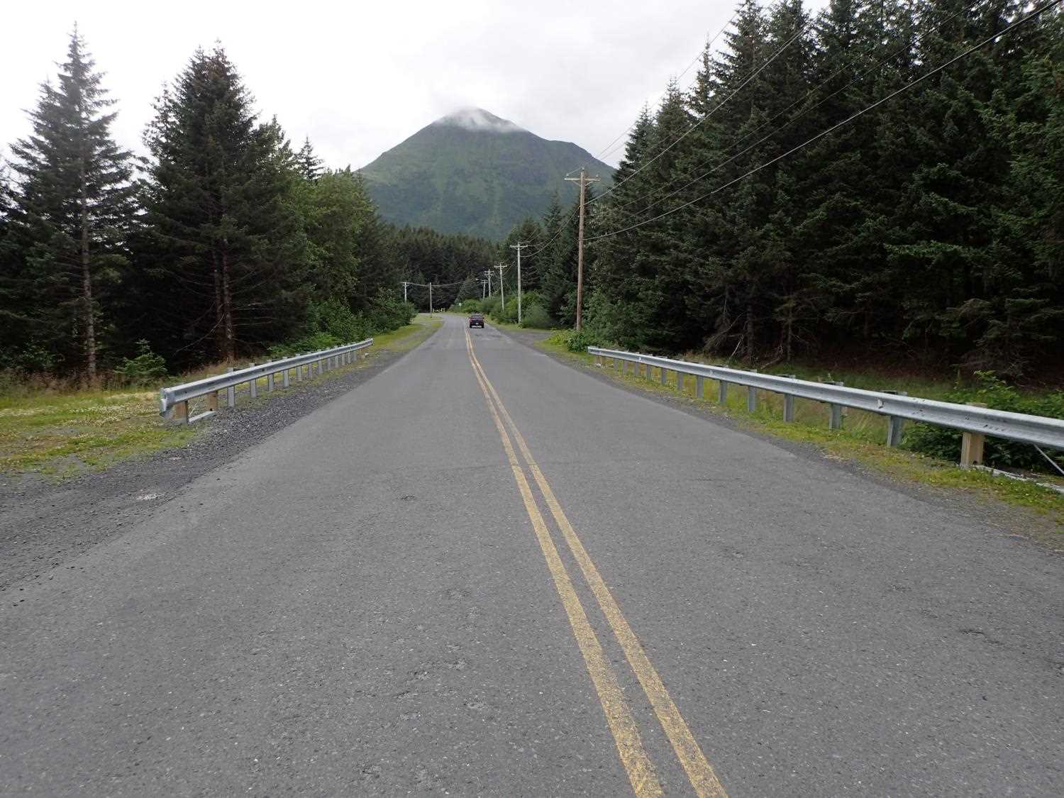
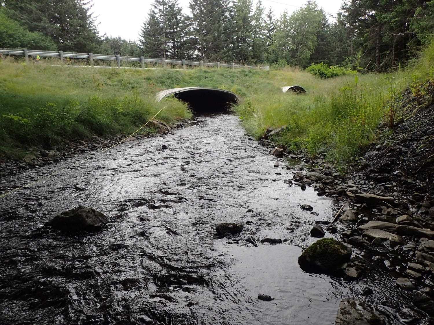
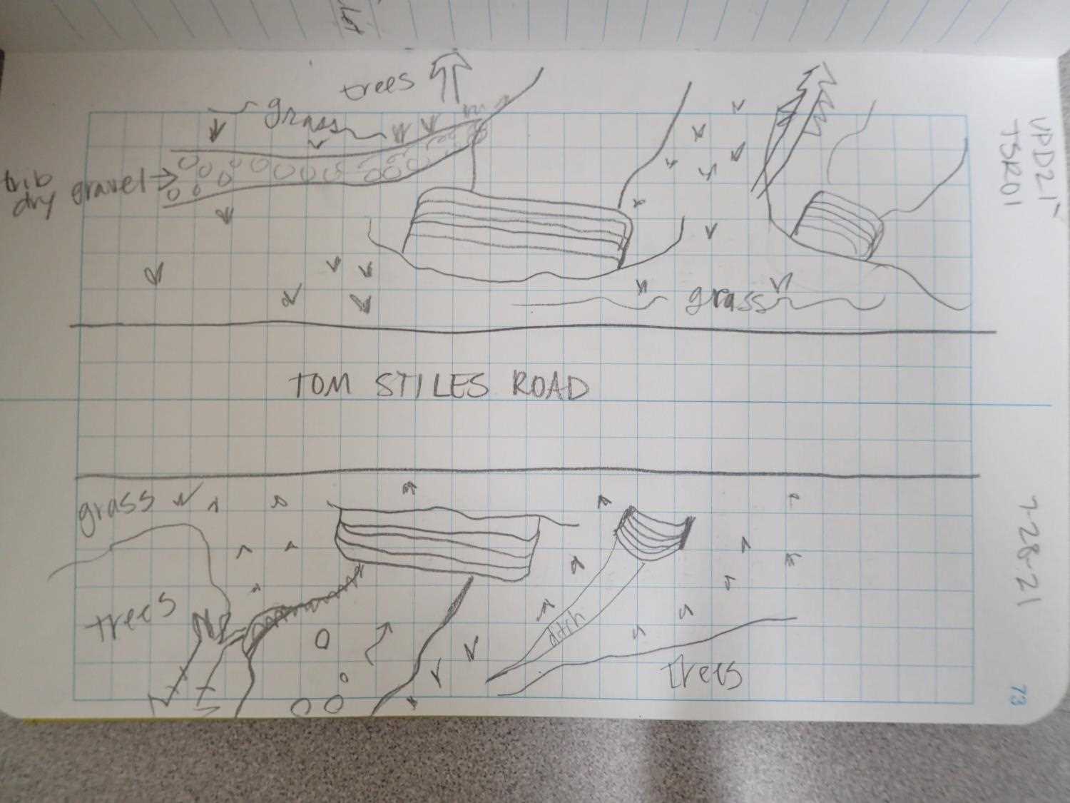
Road Name: Tom Stiles Road
Datum: WGS84
Quad Name / ITM: Kodiak D-2
AWC Stream #:
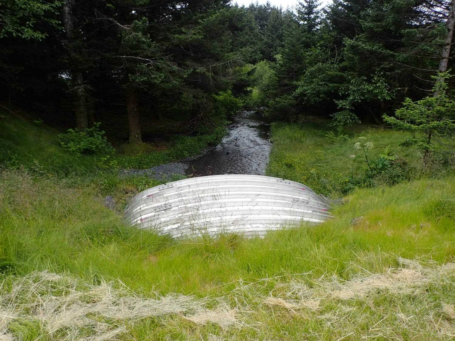
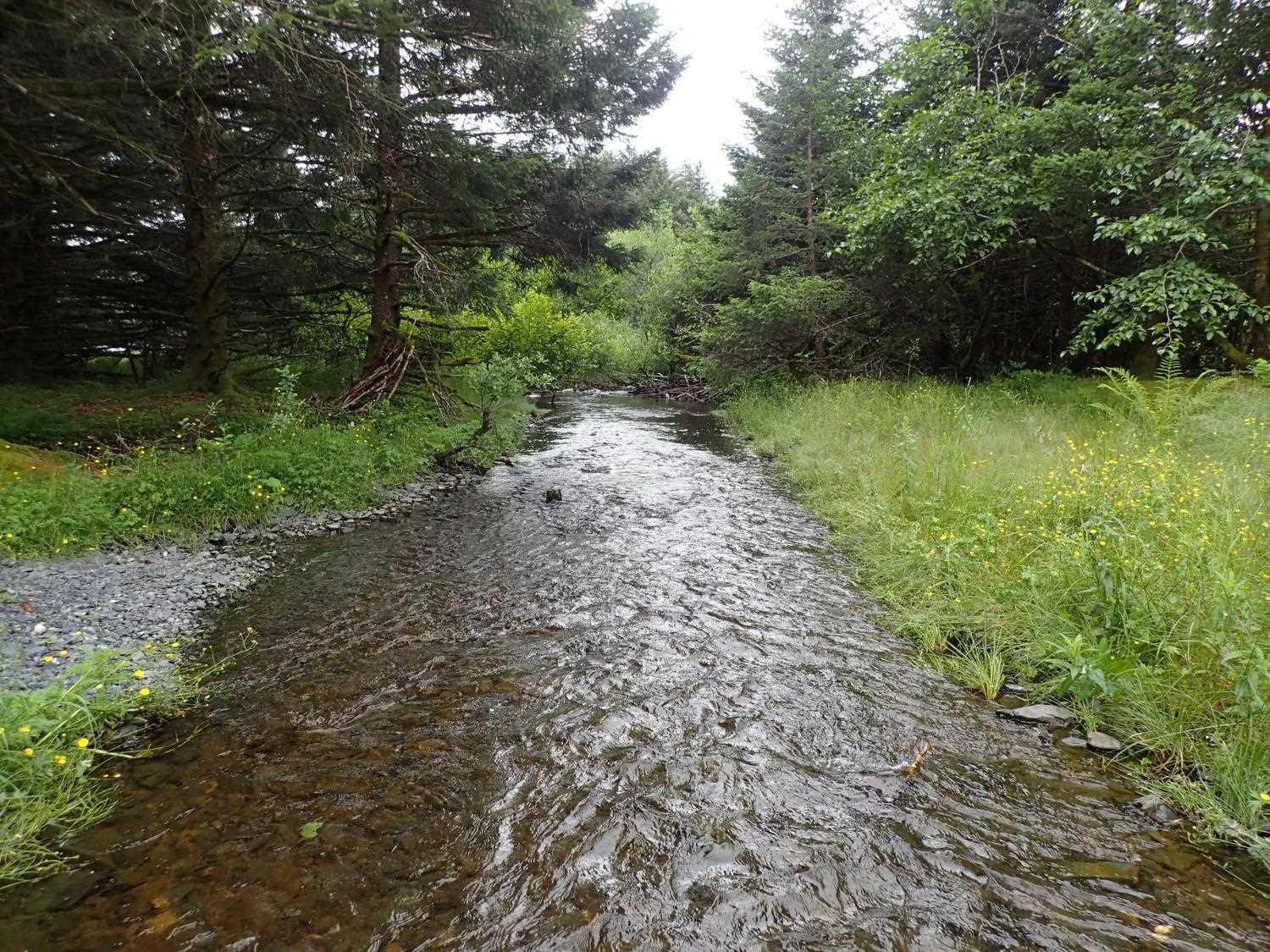
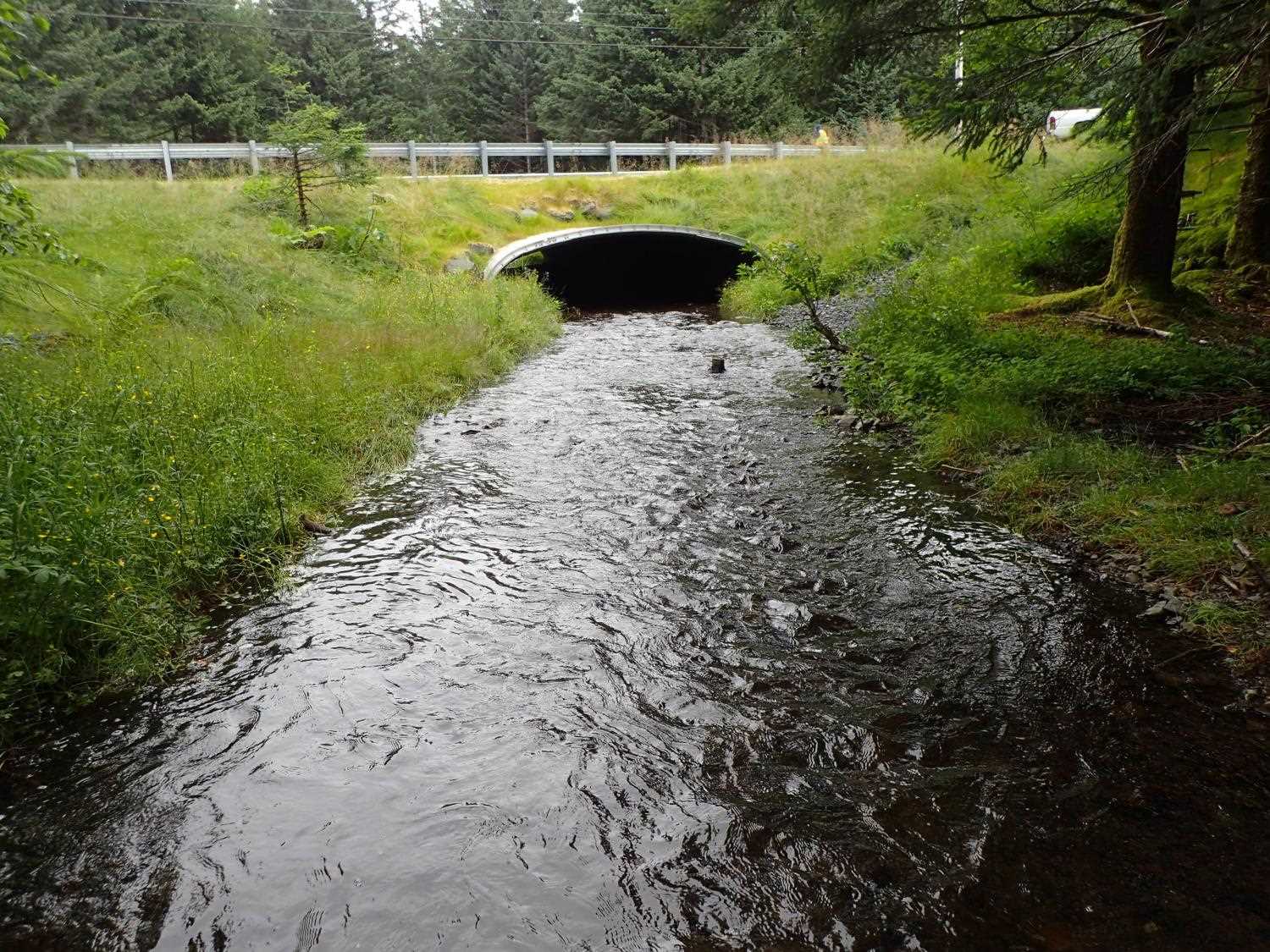
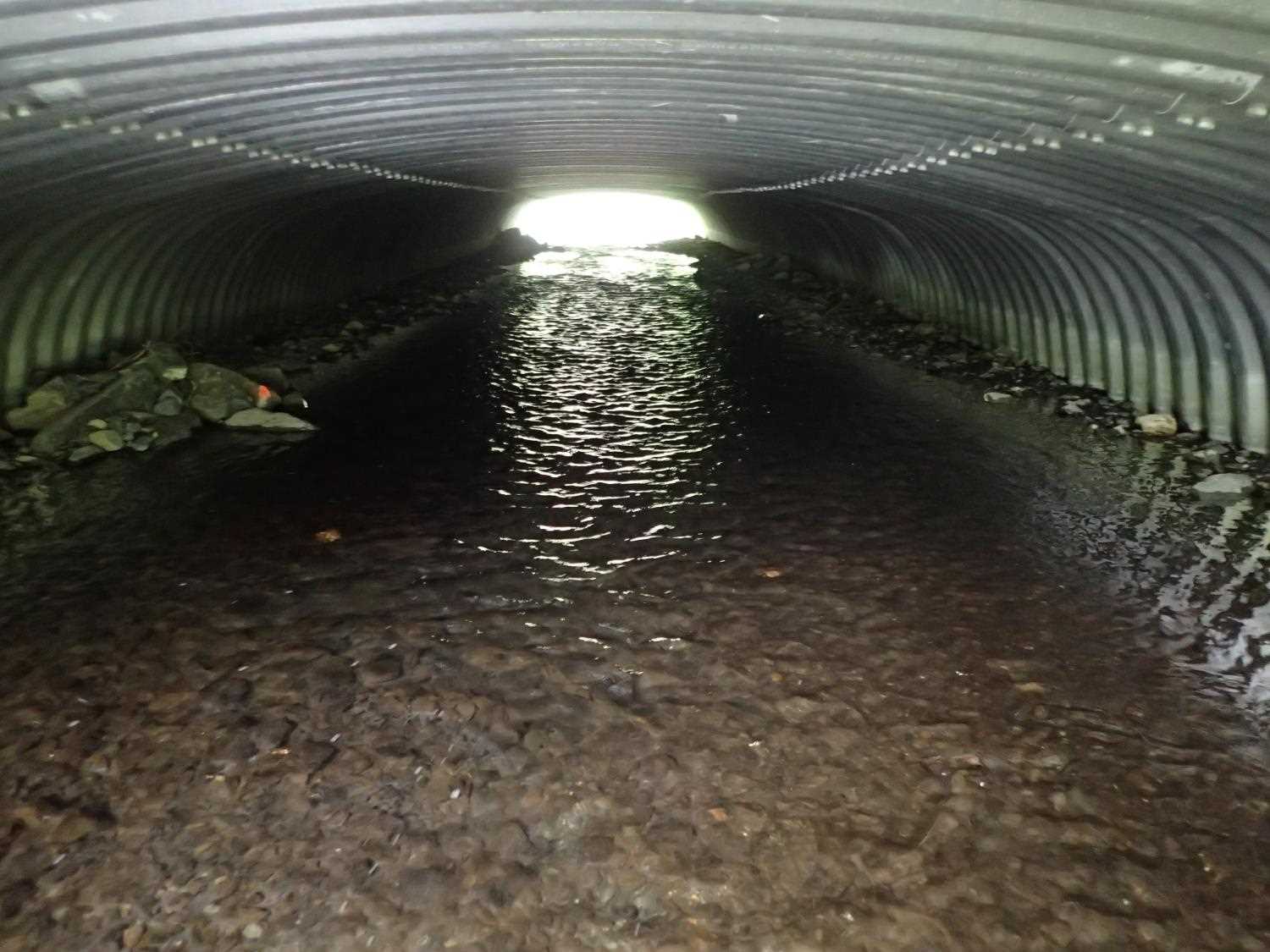
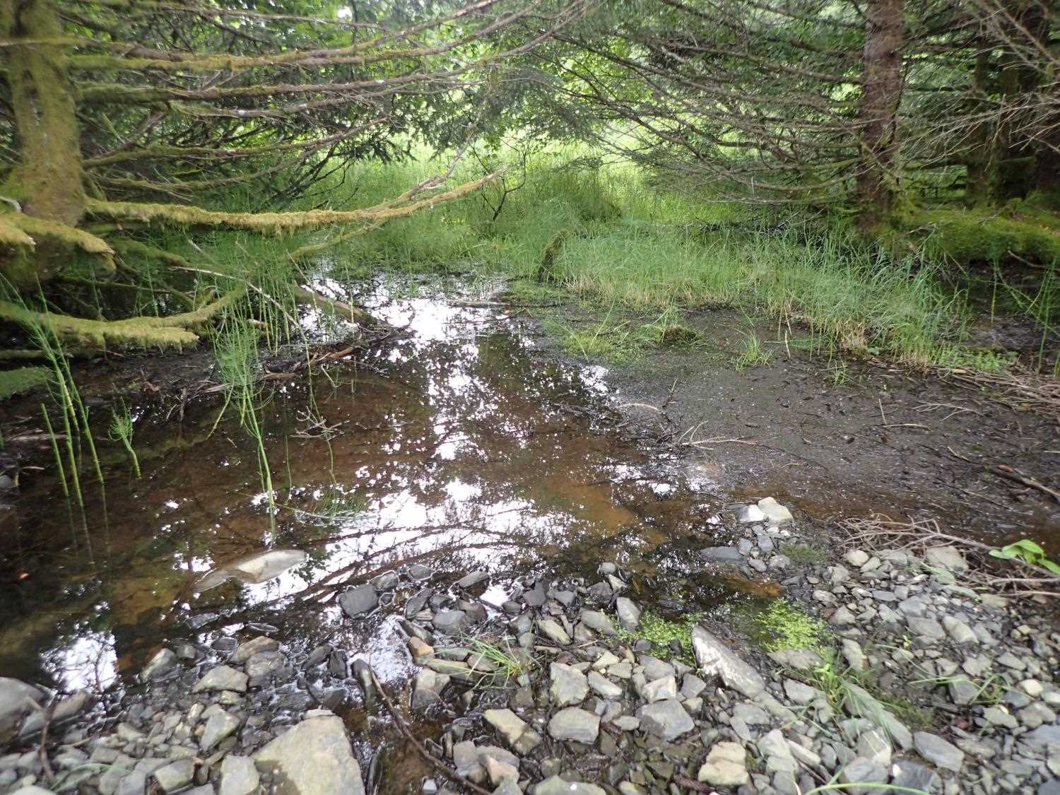
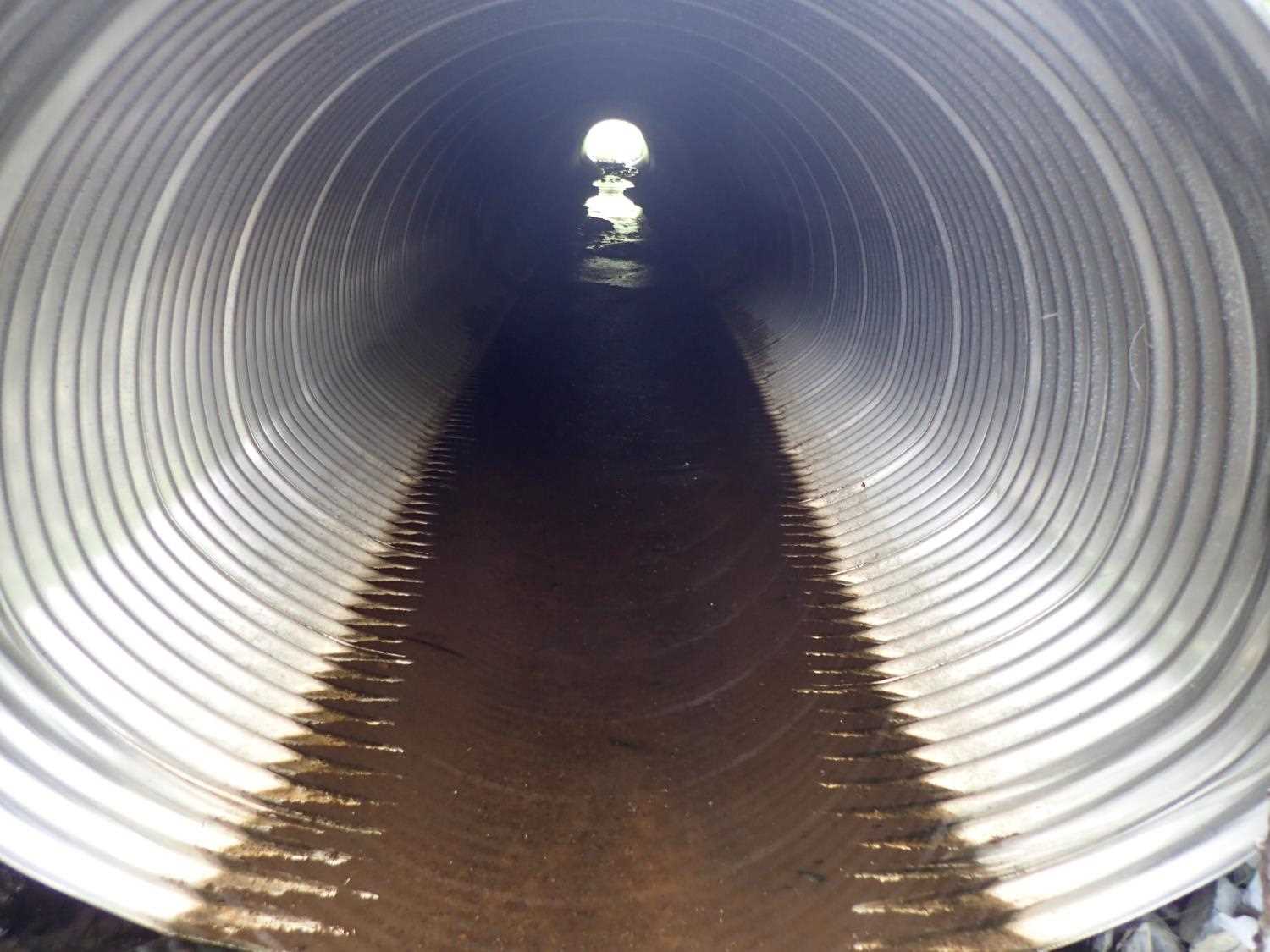
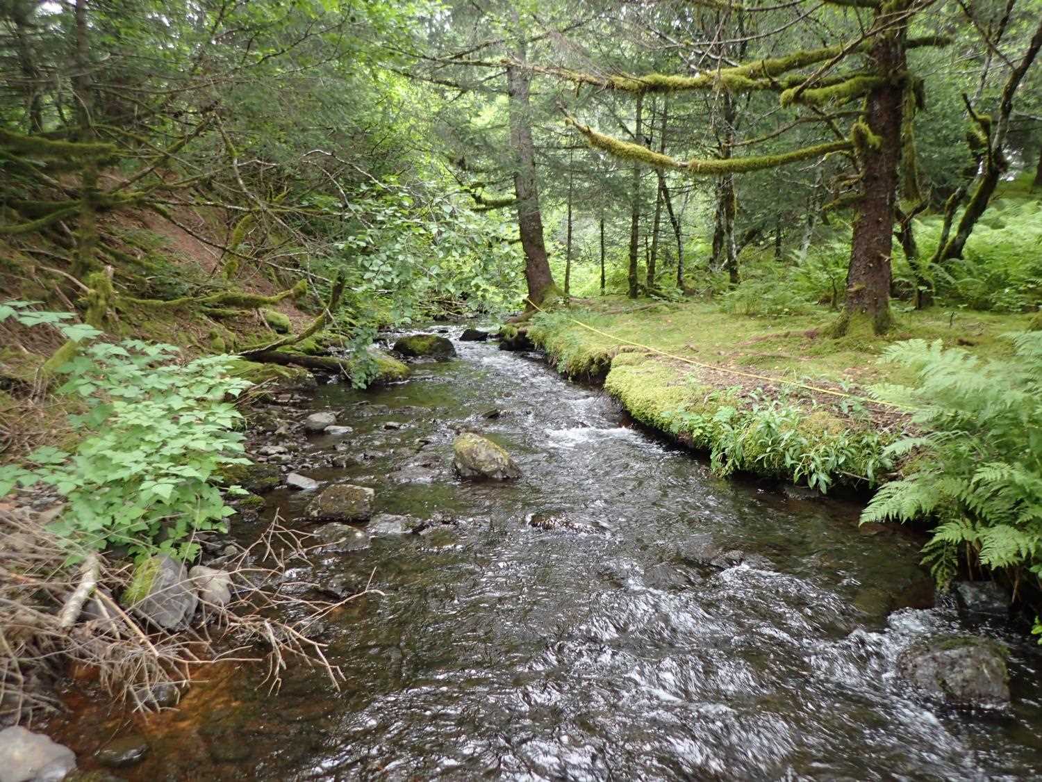
Stream Name: Lake Catherine outlet
Elevation:
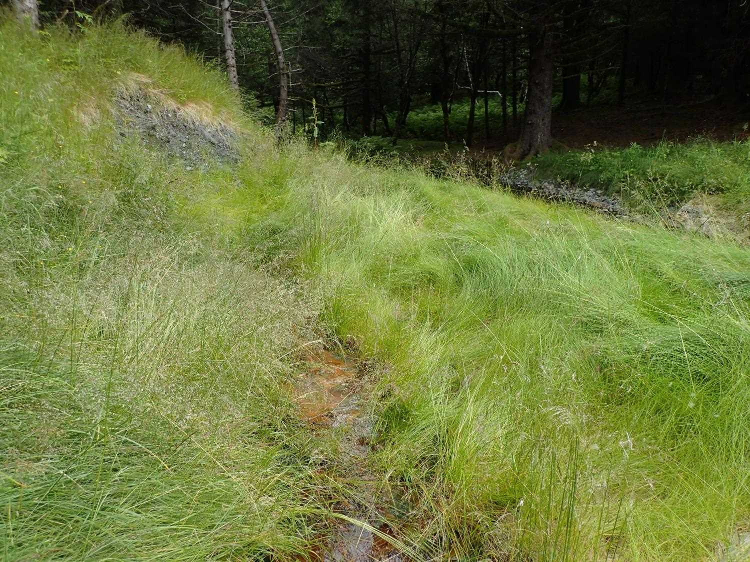
Site Comments: Site is on the stream that connect upstream Lake Catherine to Lake Loiuse downstream.
arrow to the right of the survey date below to choose a different report for this site.
Survey UPD21-TSR01
Project Supervisor: Kim Clark, ADFG
— Anchorage, AK
Observers: Kim Clark, Michael Mazzacavallo
Overall Fish Passage Rating:
Tidal: No
Backwatered: No
Step Pools: No
Construction Year: 2019
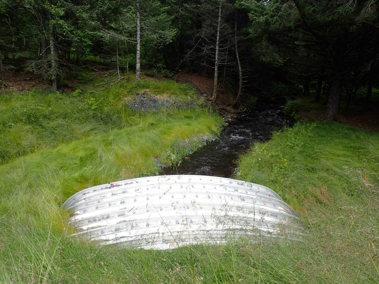
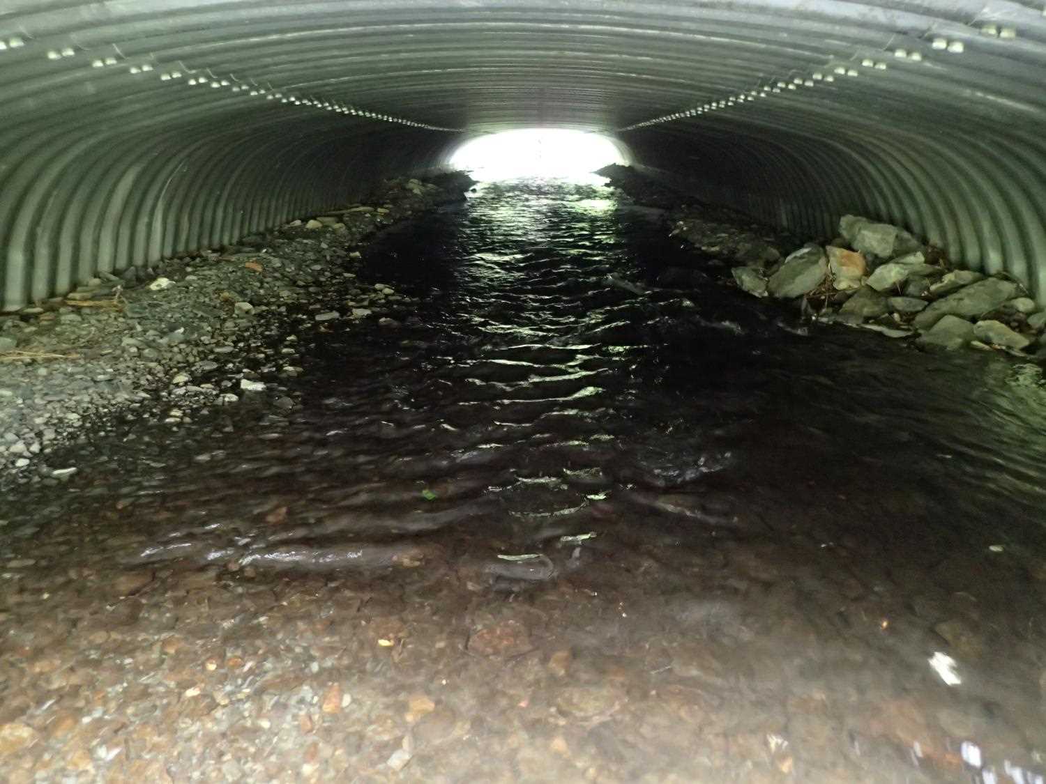
Comments: 1 juvenile salmon observed in pipe near inlet. Revegetation looks good. Overflow pipe present. Dry tributary on left bank below outlet fed by storm drain across Pt Sherman Rd. Upstream stream gradient is 2.6% and downstream stream gradient is 0.57% per pre design surveys.
Culvert Measurements
| ID: 1 | Structure Type: Box culvert (Structural aluminum plate) | Fish Passage Rating: | ||||||||||||||||||||||||||||||||||||||||||
|
|
|
||||||||||||||||||||||||||||||||||||||||||
Comments: Culvert gradient measured as Top: 0.89%, Water surface 0.79%, Invert 0.44% Culvert dimensions per design are 19'5" x 6'11" |
||||||||||||||||||||||||||||||||||||||||||||
Stream Measurements
|
|
| Stream Width Type | Distance From Crossing (ft) |
Stream Width (ft) |
|---|---|---|
| Upstream ordinary high water | 66.0 | 12.65 |
| Upstream ordinary high water | 89.0 | 13.61 |
| Upstream ordinary high water | 110.0 | 13.80 |
| Upstream ordinary high water | 155.0 | 14.90 |
Elevations
| Locator ID | Culvert Number |
River Distance (ft)1 |
Distance From Crossing (ft)2 |
Relative Elevation (ft) |
|---|---|---|---|---|
| D/S Thalweg (max pool depth) | 0.00 | 92.79 | ||
| D/S Water Surface Elev | 0.00 | 93.93 | ||
| D/S Water Surface Elev | 9.00 | 93.94 | ||
| D/S Thalweg (pool crest) | 9.00 | 93.26 | ||
| D/S Thalweg | 21.00 | 93.43 | ||
| D/S Water Surface Elev | 21.00 | 94.03 | ||
| D/S Water Surface Elev | 31.00 | 94.08 | ||
| D/S Thalweg | 31.00 | 93.75 | ||
| Outlet Invert | 47.00 | 93.85 | ||
| D/S Water Surface Elev | 47.00 | 94.32 | ||
| Outlet Culvert Top (on rib) | 47.00 | 99.15 | ||
| Inlet Culvert Top (on rib) | 142.01 | 100.00 | ||
| Inlet Culvert Invert | 142.01 | 94.27 | ||
| U/S Water Surface Elev | 142.01 | 95.07 | ||
| U/S Water Surface Elev | 155.01 | 95.12 | ||
| U/S Thalweg | 155.01 | 94.35 | ||
| U/S Thalweg | 182.01 | 95.34 | ||
| U/S Water Surface Elev | 182.01 | 95.72 | ||
| U/S Thalweg | 244.01 | 96.41 | ||
| U/S Water Surface Elev | 244.01 | 96.93 | ||
| U/S Thalweg | 258.01 | 96.98 | ||
| U/S Water Surface Elev | 258.01 | 98.67 |
Notes:
- River distance is measured continuously throughout the survey reach along the thalweg of the stream.
- Measured from each end of the crossing along the thalweg of the stream.
Fish Sampling Efforts
No fish sampling occurred during this survey.
Fish Observations
No fish observations occurred during this survey.
Photos


Questions or comments about this report can be directed to dfg.dsf.webmaster@alaska.gov