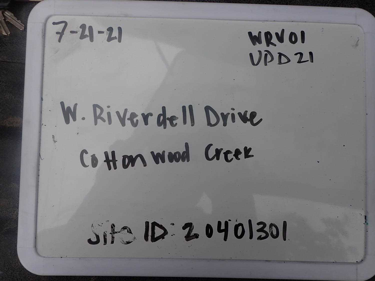
Fish Passage Site 20401301
Coordinates (dec. deg.): 61.53214°, -149.52786°
Legal Description: S017N001W30
Region: South Central
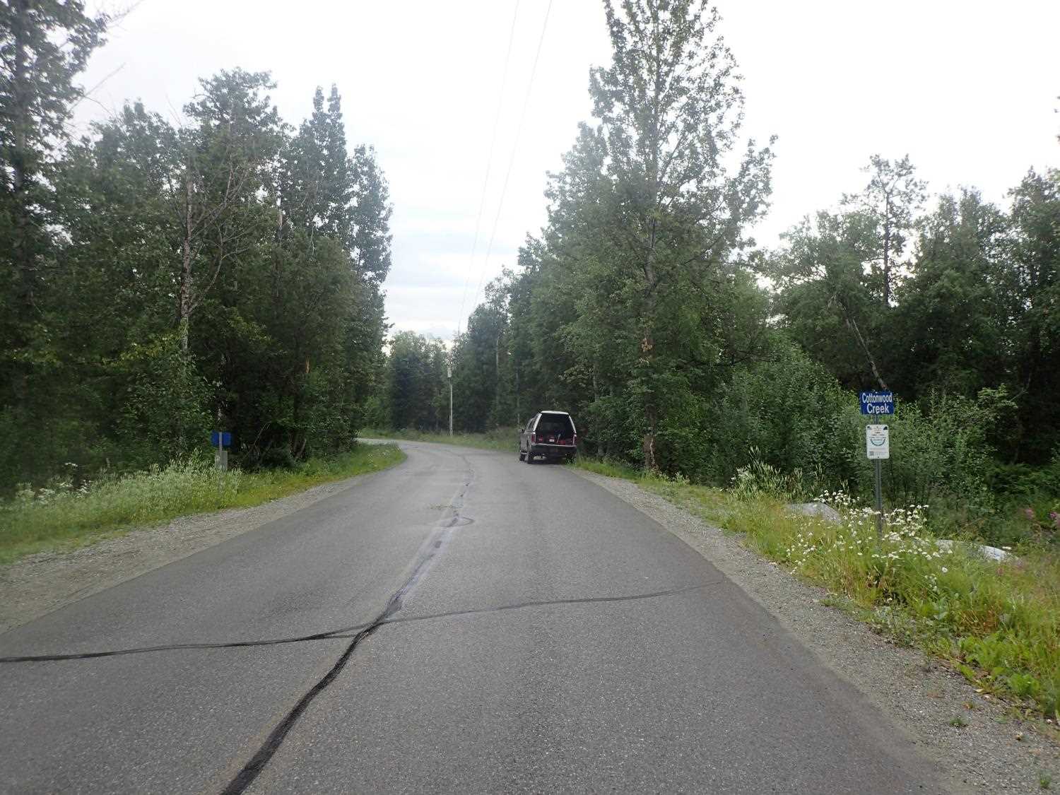
Road Name: West Riverdell Drive
Datum: NAD83
Quad Name / ITM: Anchorage C-7
AWC Stream #: 247-50-10300
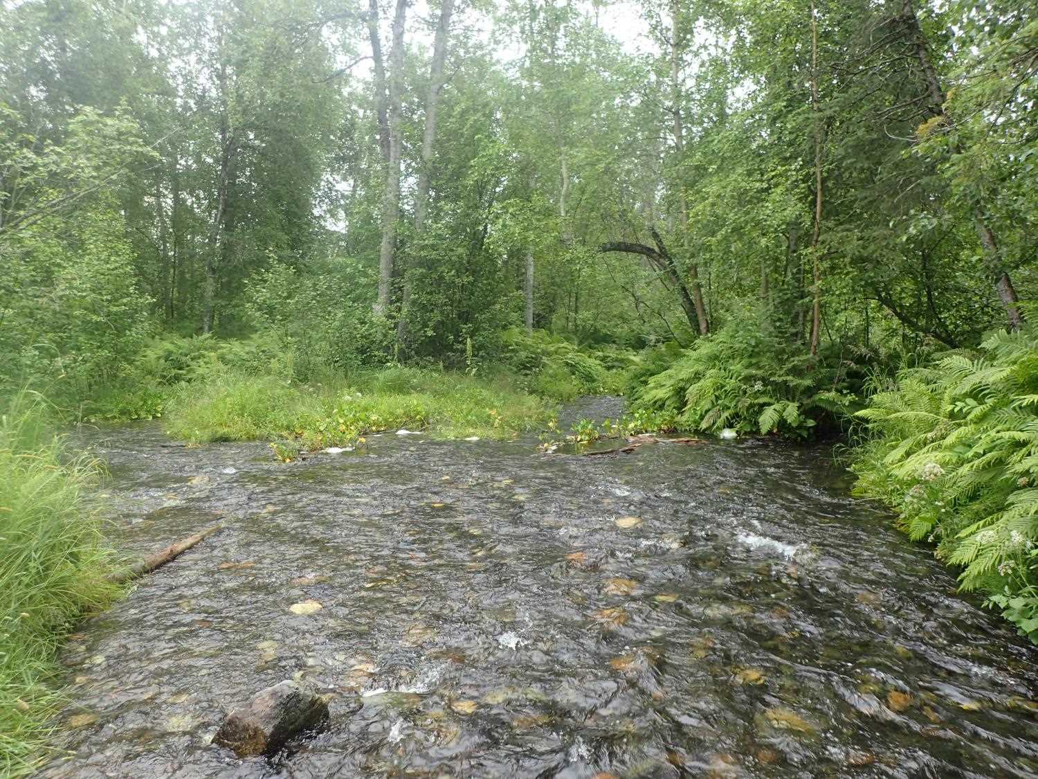
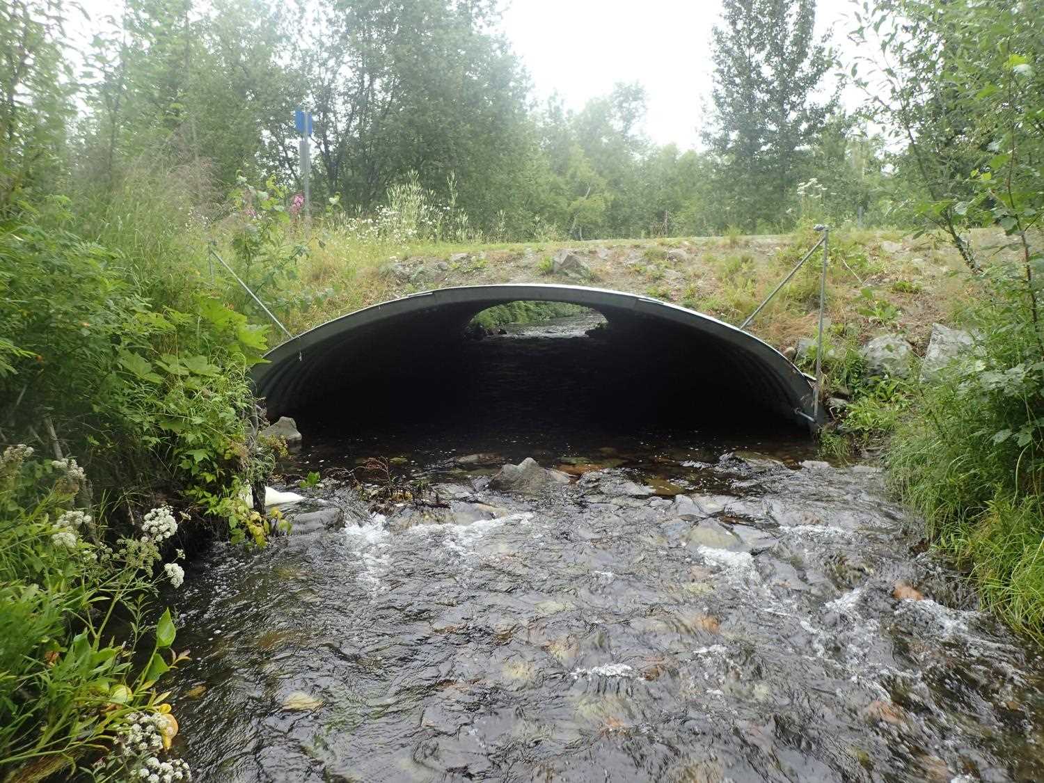
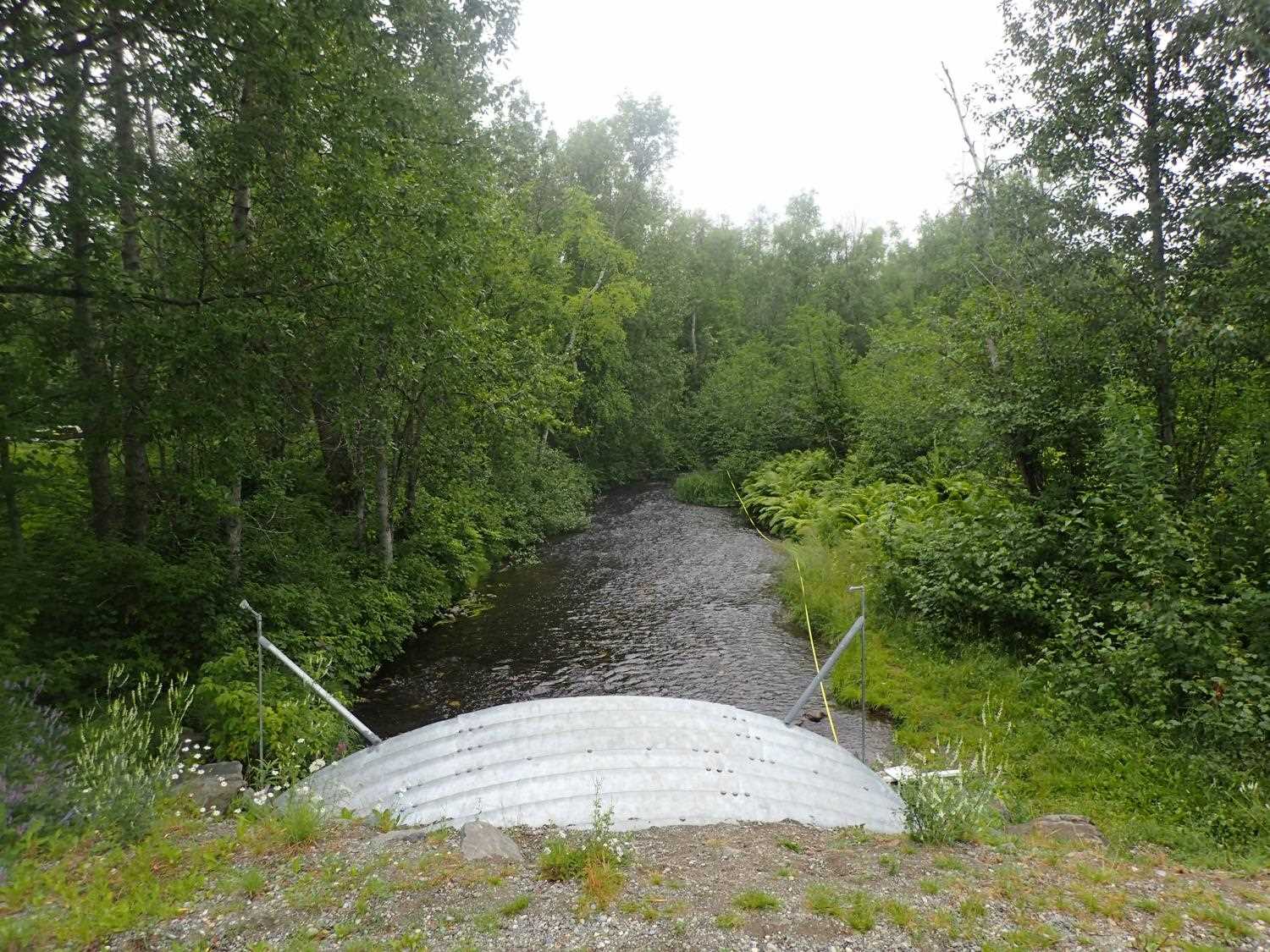
Stream Name: Cottonwood Creek
Elevation:
Site Comments: None
arrow to the right of the survey date below to choose a different report for this site.
Survey UPD21-WRV01
Project Supervisor: Kim Clark, ADFG
— Anchorage, AK
Observers: Kim Clark, Michael Mazzacavallo
Overall Fish Passage Rating:
Tidal: No
Backwatered: No
Step Pools: No
Construction Year: 2016
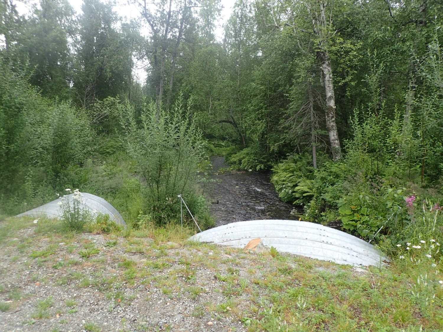
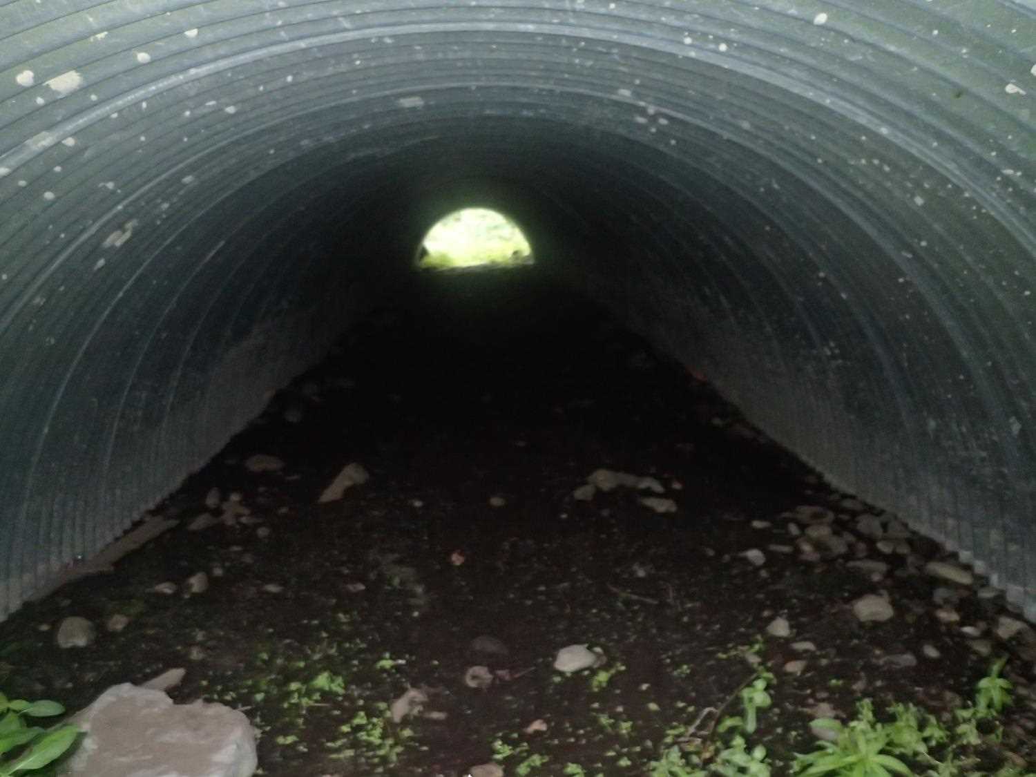
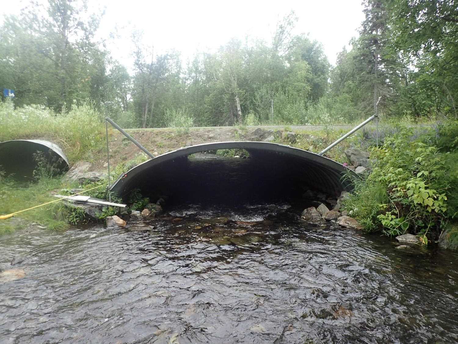
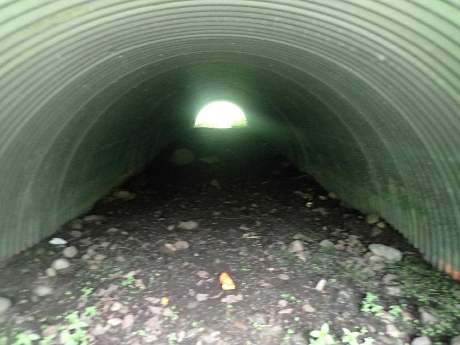
Comments: Channel splits into multiple stable channels below the outlet. Steam pipe on right bank is broken. Overflow pipe on river left.
Culvert Measurements
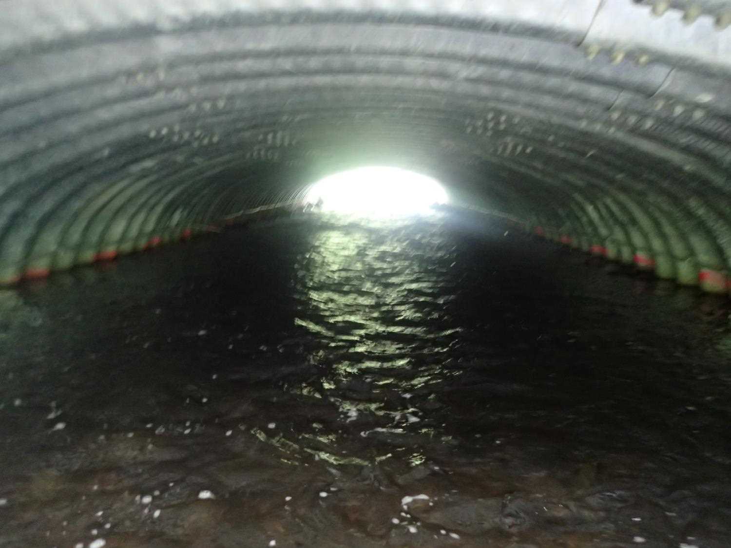
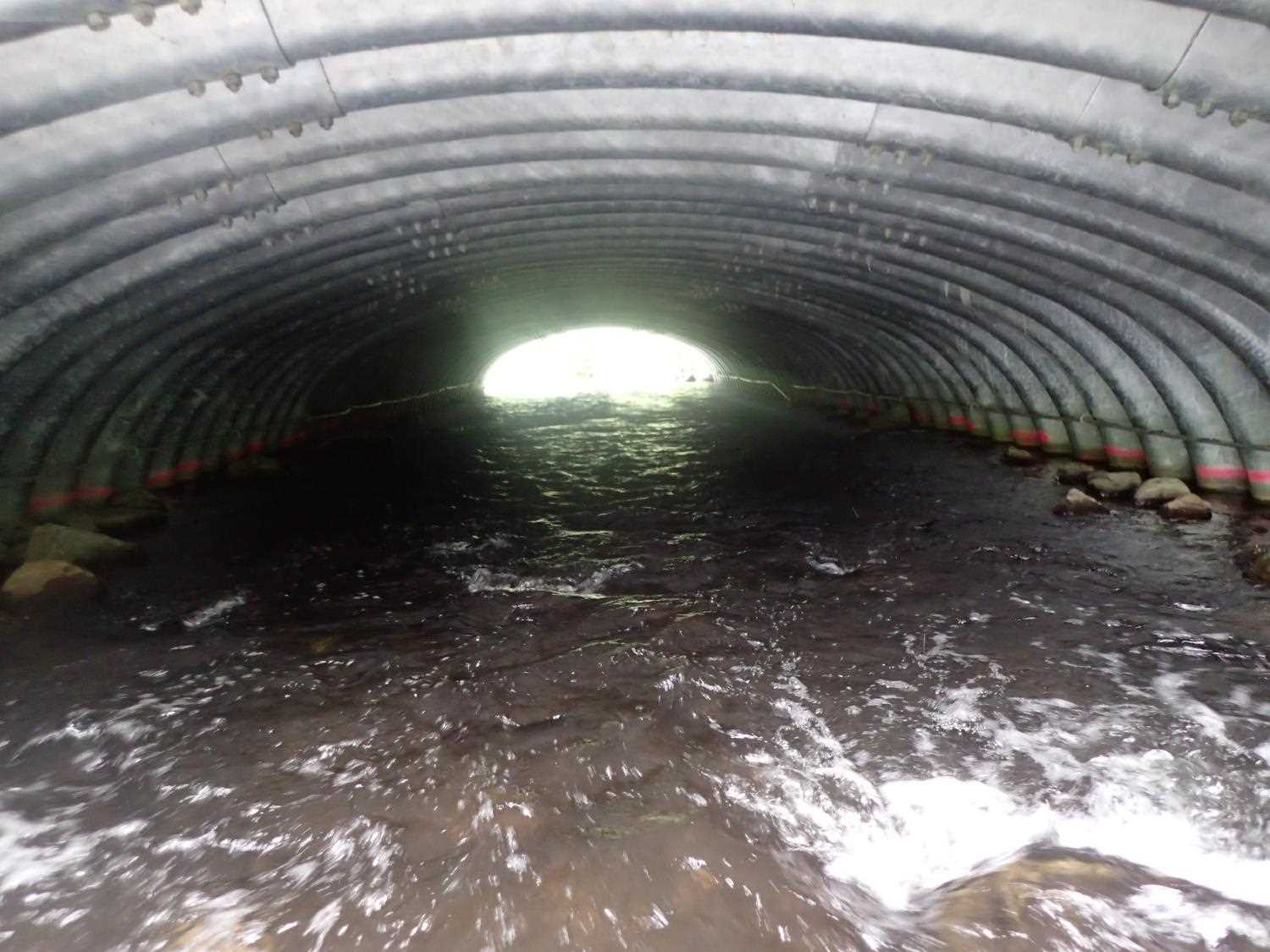
| ID: 1 | Structure Type: Box culvert (Structural steel plate) | Fish Passage Rating: | ||||||||||||||||||||||||||||||||||||||||||
|
|
|
||||||||||||||||||||||||||||||||||||||||||
Comments: Overflow pipe is present. No water flowing through at time of site visit. Pipe graident in designs 0.90%, Water surface gradient 0.50%, Invert gradient 1.3%. |
||||||||||||||||||||||||||||||||||||||||||||
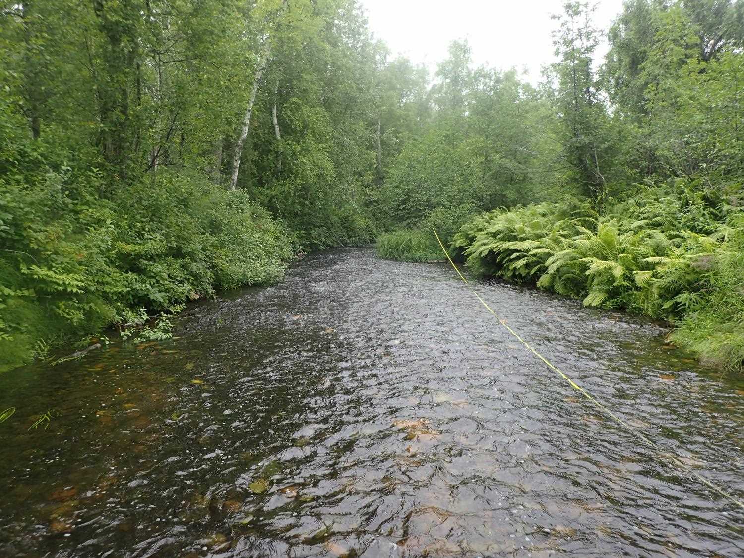
Stream Measurements
|
|
| Stream Width Type | Distance From Crossing (ft) |
Stream Width (ft) |
|---|---|---|
| Upstream ordinary high water | 86.0 | 26.90 |
| Upstream ordinary high water | 108.0 | 17.24 |
| Upstream ordinary high water | 127.0 | 16.84 |
Elevations
| Locator ID | Culvert Number |
River Distance (ft)1 |
Distance From Crossing (ft)2 |
Relative Elevation (ft) |
|---|---|---|---|---|
| Road Elev (Road surface) | 102.86 | |||
| D/S Thalweg (top of where channel starts braiding) | 0.00 | 94.17 | ||
| D/S Water Surface Elev | 0.00 | 94.80 | ||
| D/S Water Surface Elev | 15.50 | 95.02 | ||
| D/S Thalweg (bottom of rock weir) | 15.50 | 94.18 | ||
| D/S Water Surface Elev | 24.30 | 95.41 | ||
| Outlet Invert | 24.30 | 95.71 | ||
| Outlet Culvert Top | 24.30 | 100.39 | ||
| D/S Water Surface Elev | 25.00 | 95.37 | ||
| D/S Thalweg (top of rock weir) | 25.00 | 94.34 | ||
| Inlet Culvert Invert | 99.70 | 95.15 | ||
| Inlet Culvert Top | 99.70 | 100.65 | ||
| U/S Water Surface Elev | 99.70 | 95.74 | ||
| U/S Water Surface Elev | 102.70 | 95.95 | ||
| U/S Thalweg | 102.70 | 95.13 | ||
| U/S Thalweg | 129.70 | 95.51 | ||
| U/S Water Surface Elev | 129.70 | 95.11 |
Notes:
- River distance is measured continuously throughout the survey reach along the thalweg of the stream.
- Measured from each end of the crossing along the thalweg of the stream.
Fish Sampling Efforts
No fish sampling occurred during this survey.
Fish Observations
No fish observations occurred during this survey.
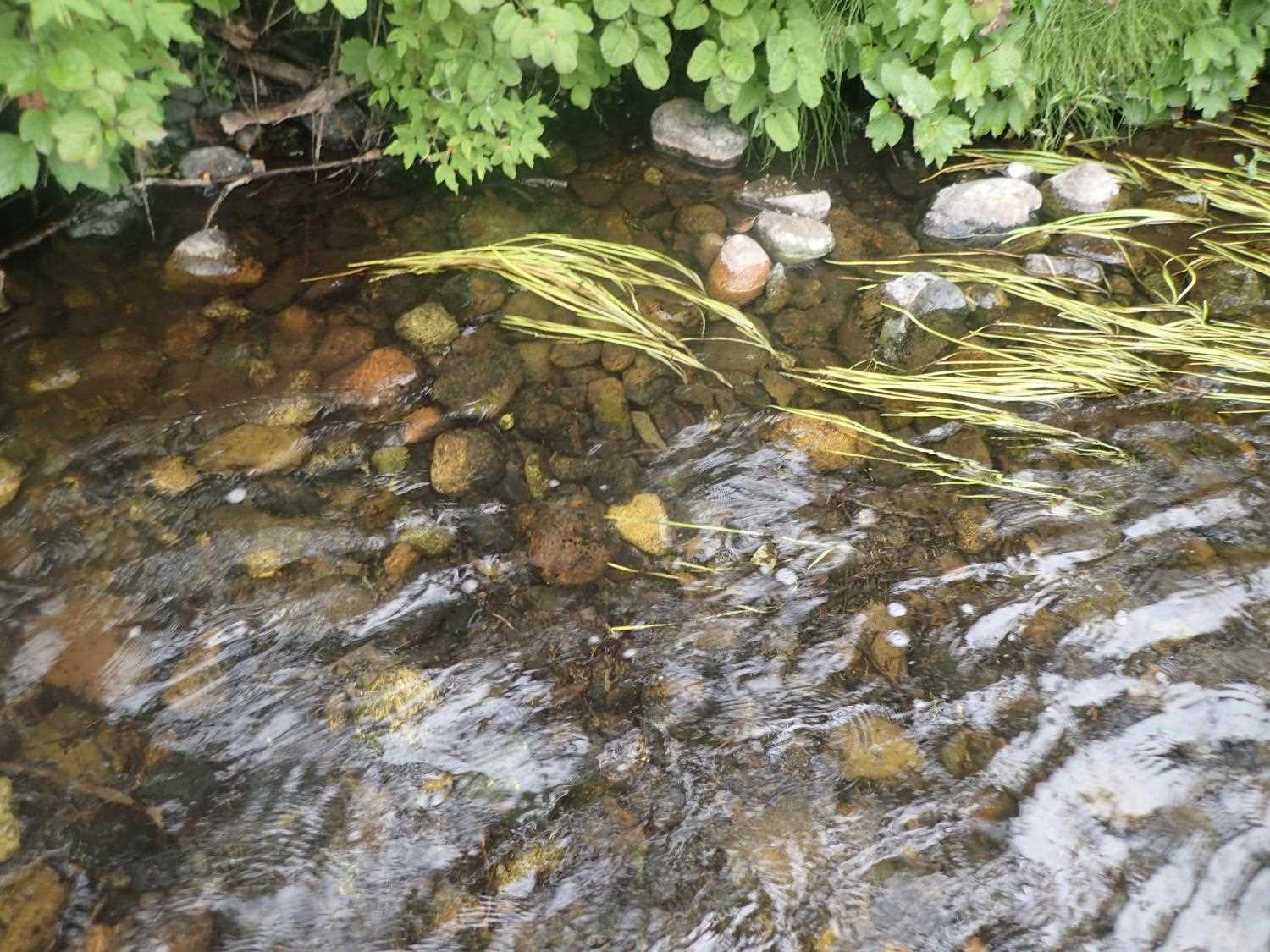
Photos


Questions or comments about this report can be directed to dfg.dsf.webmaster@alaska.gov