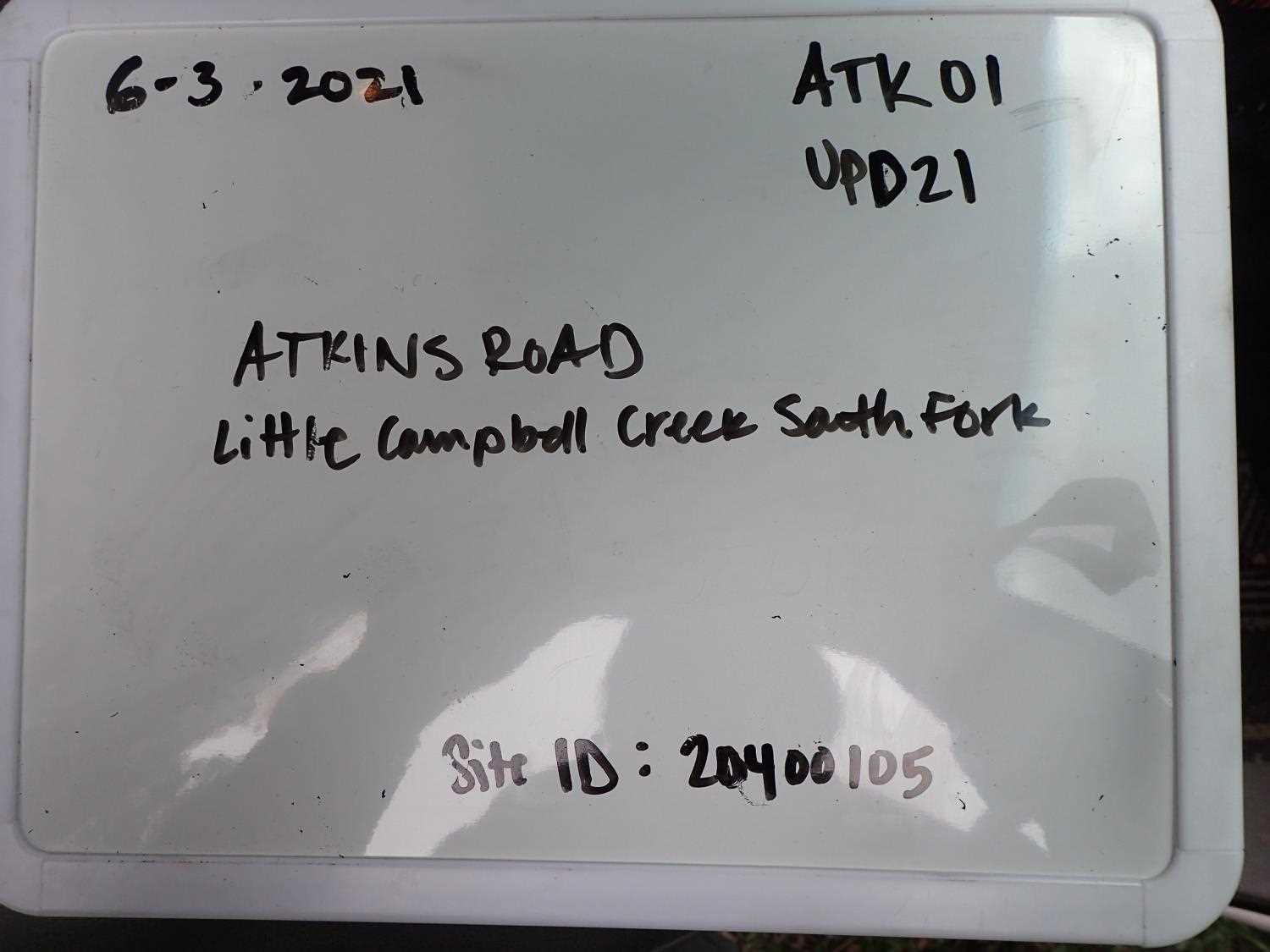
Fish Passage Site 20400105
Coordinates (dec. deg.): 61.14382°, -149.82961°
Legal Description: S012N003W09
Region: South Central
Road Name: Atkins Road
Datum: NAD83
Quad Name / ITM: Anchorage A-8
AWC Stream #: 247-60-10340-2018
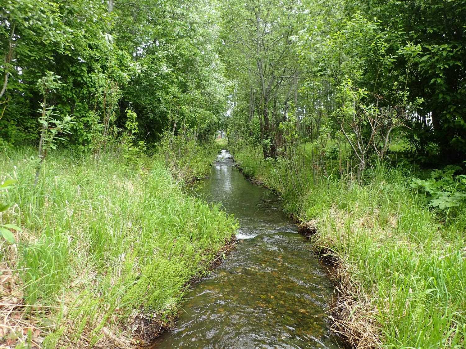
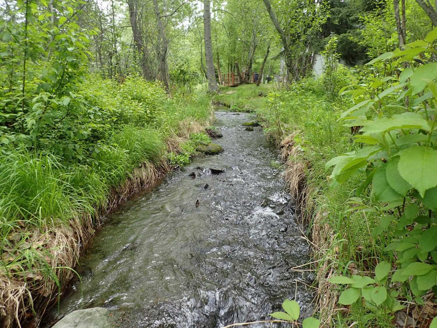
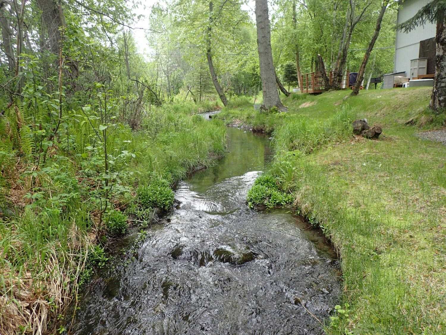
Stream Name: Little Campbell Creek South Fork
Elevation:
Site Comments: None
arrow to the right of the survey date below to choose a different report for this site.
Survey UPD21-ATK01
Project Supervisor: Kim Clark, ADFG
— Anchorage, AK
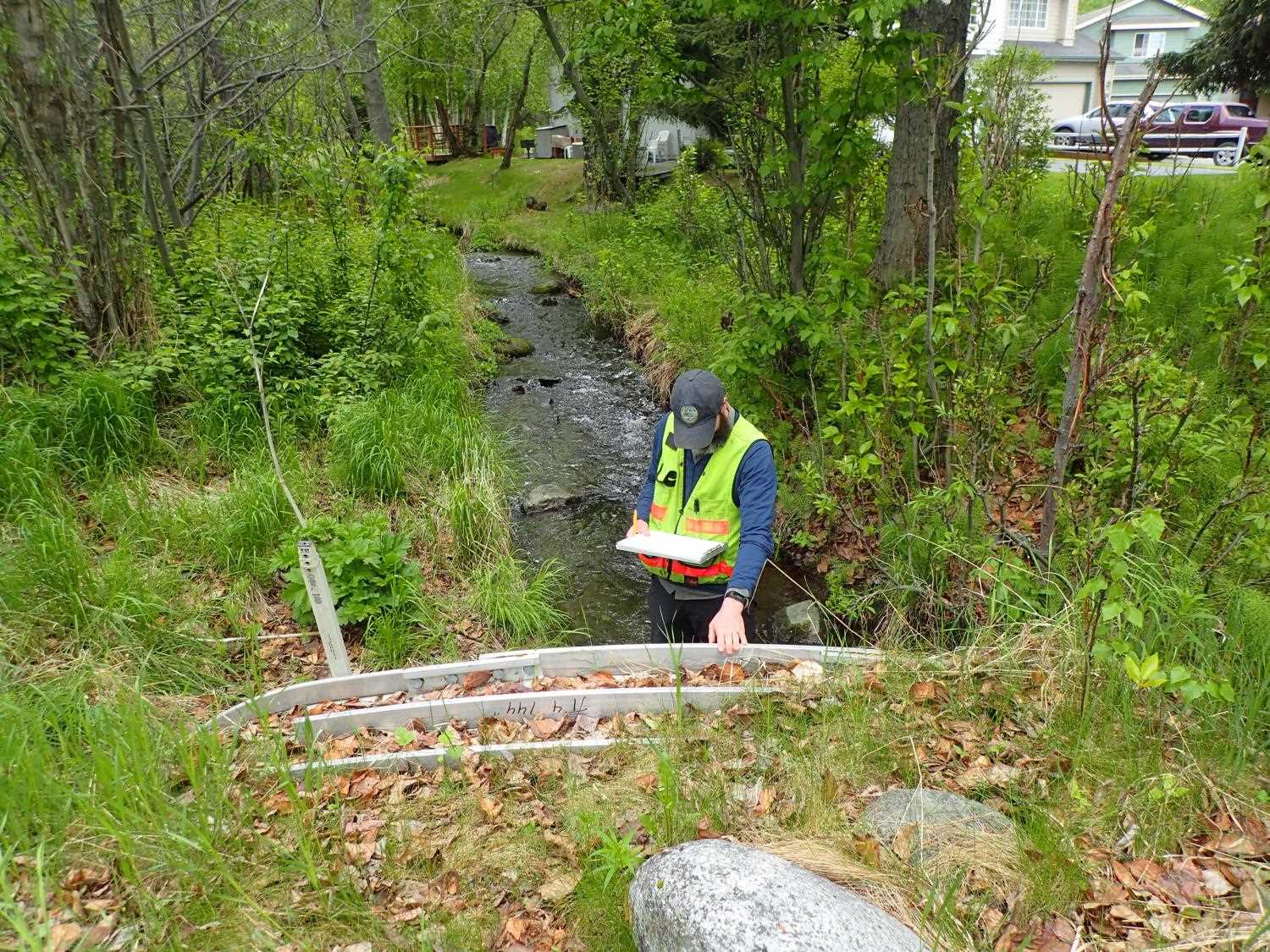
Observers: Kim Clark, Michael Mazzacavallo
Overall Fish Passage Rating:
Tidal: No
Backwatered: No
Step Pools: No
Construction Year: 2010
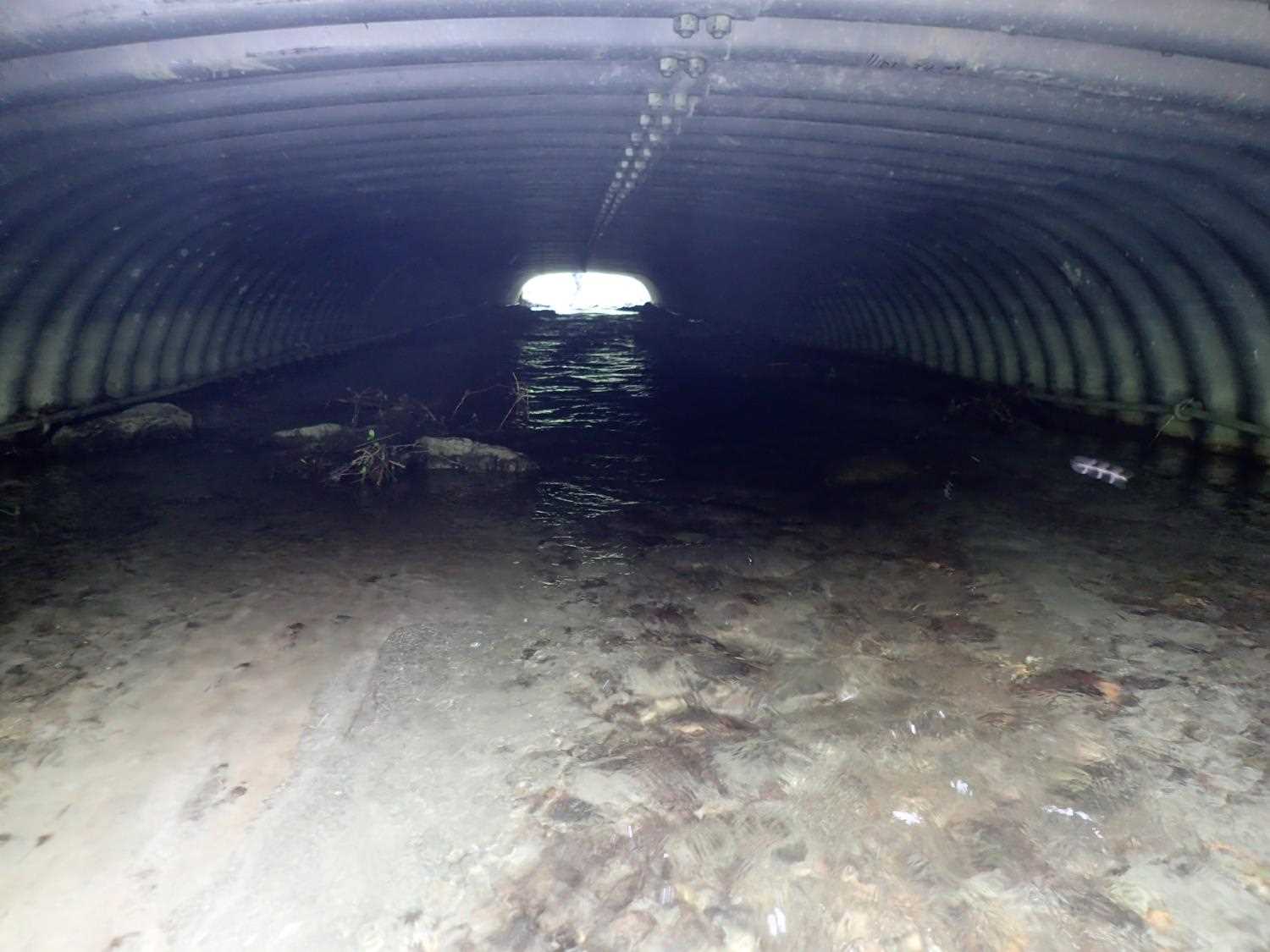
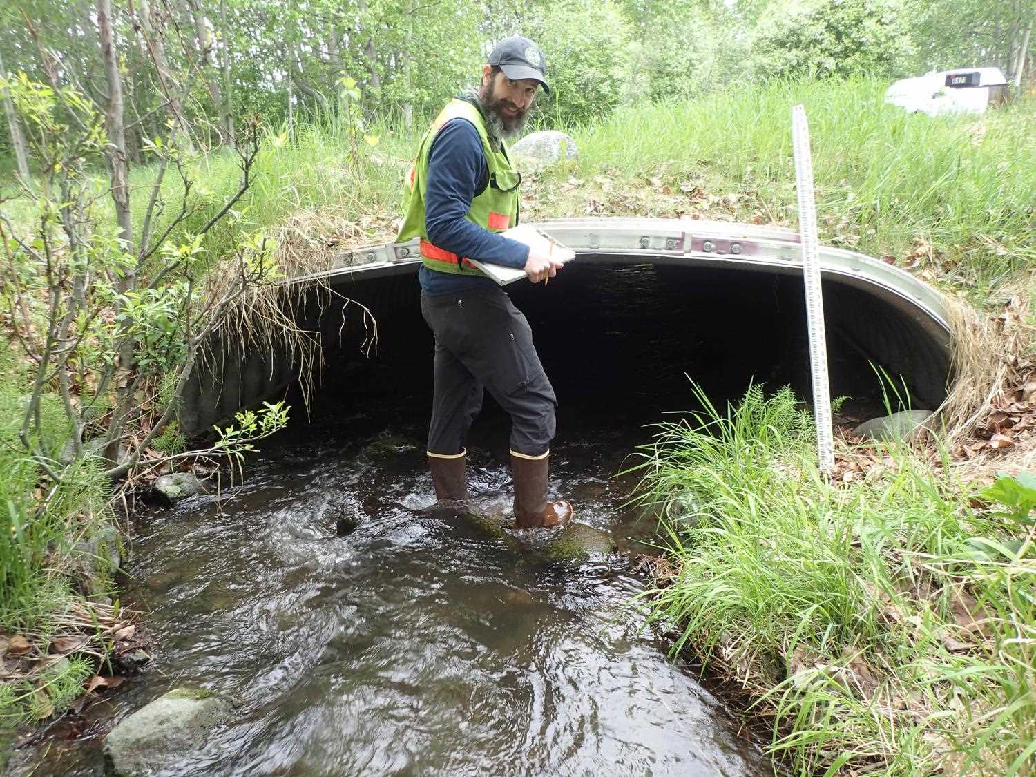
Comments: This crossing constructed as part of realignment of Campbell Creek circa 1988. Replaced again in 2010 by City of Anchorage and USFWS. Boulders at outlet, possibly fell in from banks. Large amount of fine sediment in channel inside culvert.
Culvert Measurements
| ID: 1 | Structure Type: Box culvert (Structural aluminum plate) | Fish Passage Rating: | ||||||||||||||||||||||||||||||||||||||||||
|
|
|
||||||||||||||||||||||||||||||||||||||||||
Comments: Pipe gradient measured using water surface 0.9%. Stream slope from designs is 1.28%. Design measurements are 12'3" wide and 4'5" in height. |
||||||||||||||||||||||||||||||||||||||||||||
Stream Measurements
|
|
| Stream Width Type | Distance From Crossing (ft) |
Stream Width (ft) |
|---|---|---|
| Upstream ordinary high water | 23.0 | 6.40 |
| Upstream ordinary high water | 37.0 | 6.80 |
| Upstream ordinary high water | 50.0 | 7.20 |
Elevations
| Locator ID | Culvert Number |
River Distance (ft)1 |
Distance From Crossing (ft)2 |
Relative Elevation (ft) |
|---|---|---|---|---|
| Max Pool Depth | 0.00 | 94.20 | ||
| D/S Water Surface Elev | 0.00 | 96.09 | ||
| D/S Grade Ctrl (Thalweg) | 11.00 | 95.77 | ||
| D/S Water Surface Elev | 11.00 | 96.41 | ||
| D/S Water Surface Elev | 26.00 | 96.64 | ||
| D/S Thalweg | 26.00 | 95.89 | ||
| Outlet Invert | 40.00 | 96.25 | ||
| D/S Water Surface Elev | 40.00 | 96.77 | ||
| Outlet Culvert Top (on the rib) | 40.00 | 99.99 | ||
| Inlet Culvert Top | 121.21 | 100.84 | ||
| U/S Water Surface Elev | 121.21 | 97.50 | ||
| Inlet Culvert Invert | 121.21 | 97.02 | ||
| U/S Water Surface Elev | 124.21 | 97.56 | ||
| U/S Grade Ctrl (Thalweg) | 124.21 | 96.89 | ||
| U/S Thalweg | 132.81 | 97.08 | ||
| U/S Water Surface Elev | 132.81 | 97.85 | ||
| U/S Water Surface Elev | 158.21 | 98.36 | ||
| U/S Thalweg | 158.21 | 97.62 | ||
| U/S Thalweg | 175.21 | 97.76 | ||
| U/S Water Surface Elev | 175.21 | 98.65 |
Notes:
- River distance is measured continuously throughout the survey reach along the thalweg of the stream.
- Measured from each end of the crossing along the thalweg of the stream.
Fish Sampling Efforts
No fish sampling occurred during this survey.
Fish Observations
No fish observations occurred during this survey.
Photos


Questions or comments about this report can be directed to dfg.dsf.webmaster@alaska.gov