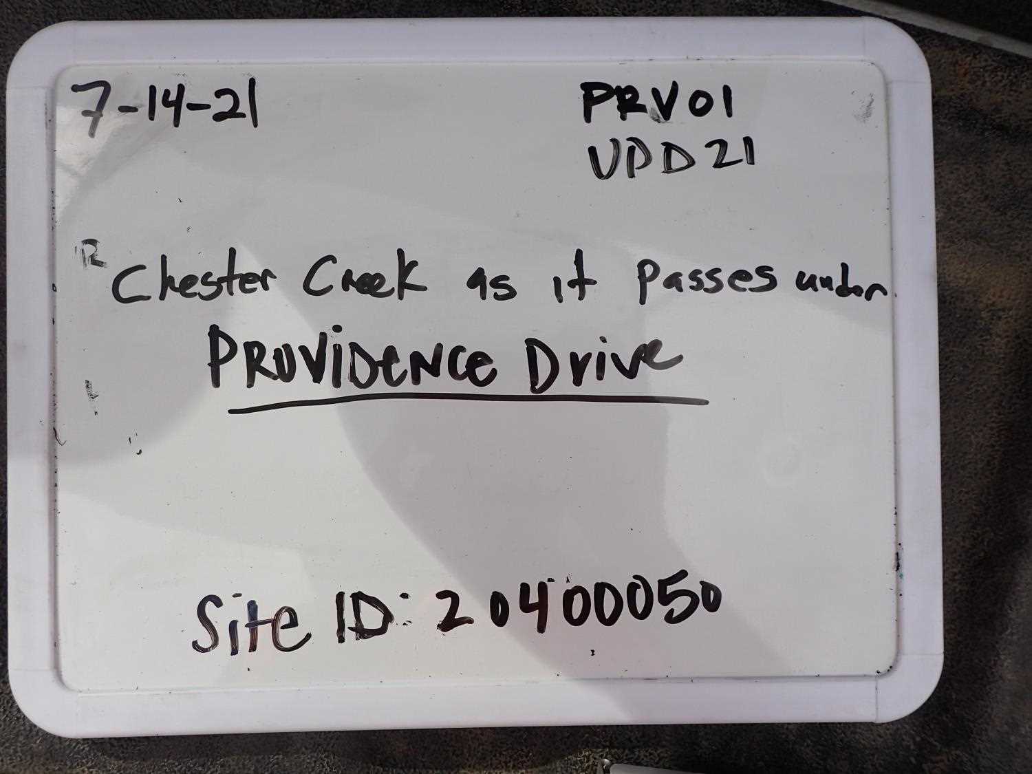
Fish Passage Site 20400050
Coordinates (dec. deg.): 61.18899°, -149.82399°
Legal Description: S013N003W28
Region: South Central
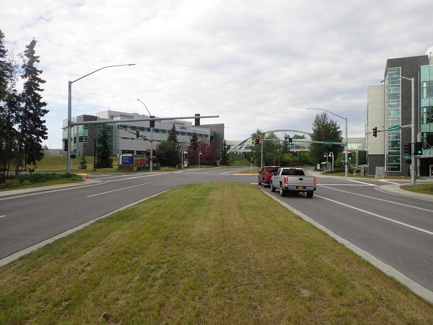
Road Name: Providence Drive
Datum: NAD83
Quad Name / ITM: Anchorage A-8
AWC Stream #: 247-50-10050
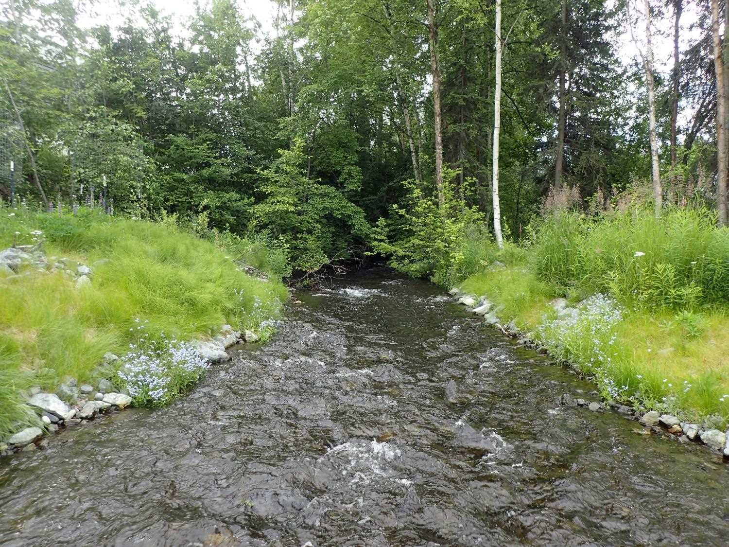
Stream Name: Chester Creek South Fork
Elevation:
Site Comments: CHESTER CREEK WATERSHED
arrow to the right of the survey date below to choose a different report for this site.
Survey UPD21-PRV01
Project Supervisor: Kim Clark, ADFG
— Anchorage, AK
Observers: Kim Clark, Michael Mazzacavallo
Overall Fish Passage Rating:
Tidal: No
Backwatered: No
Step Pools: No
Construction Year: 2019
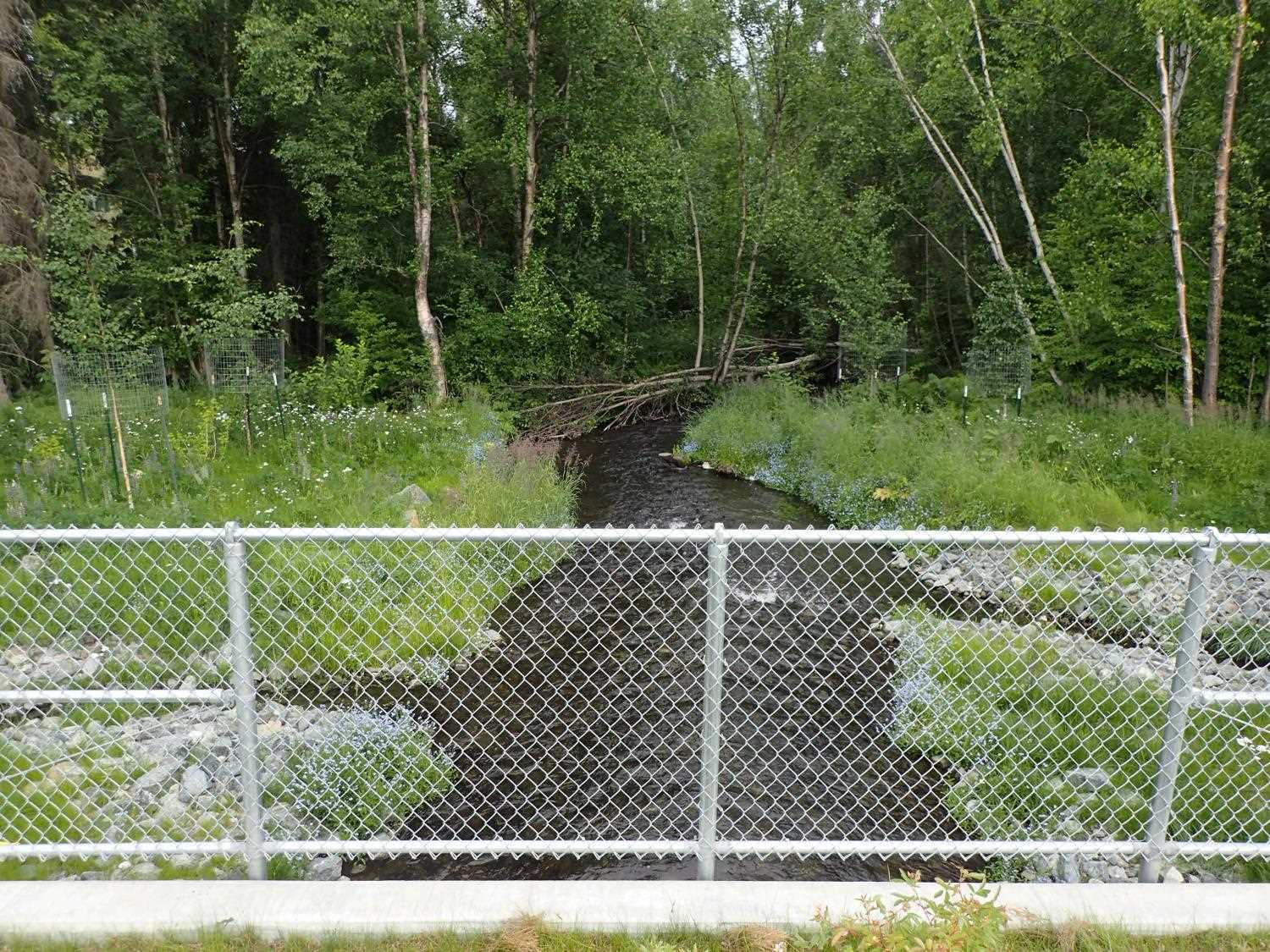
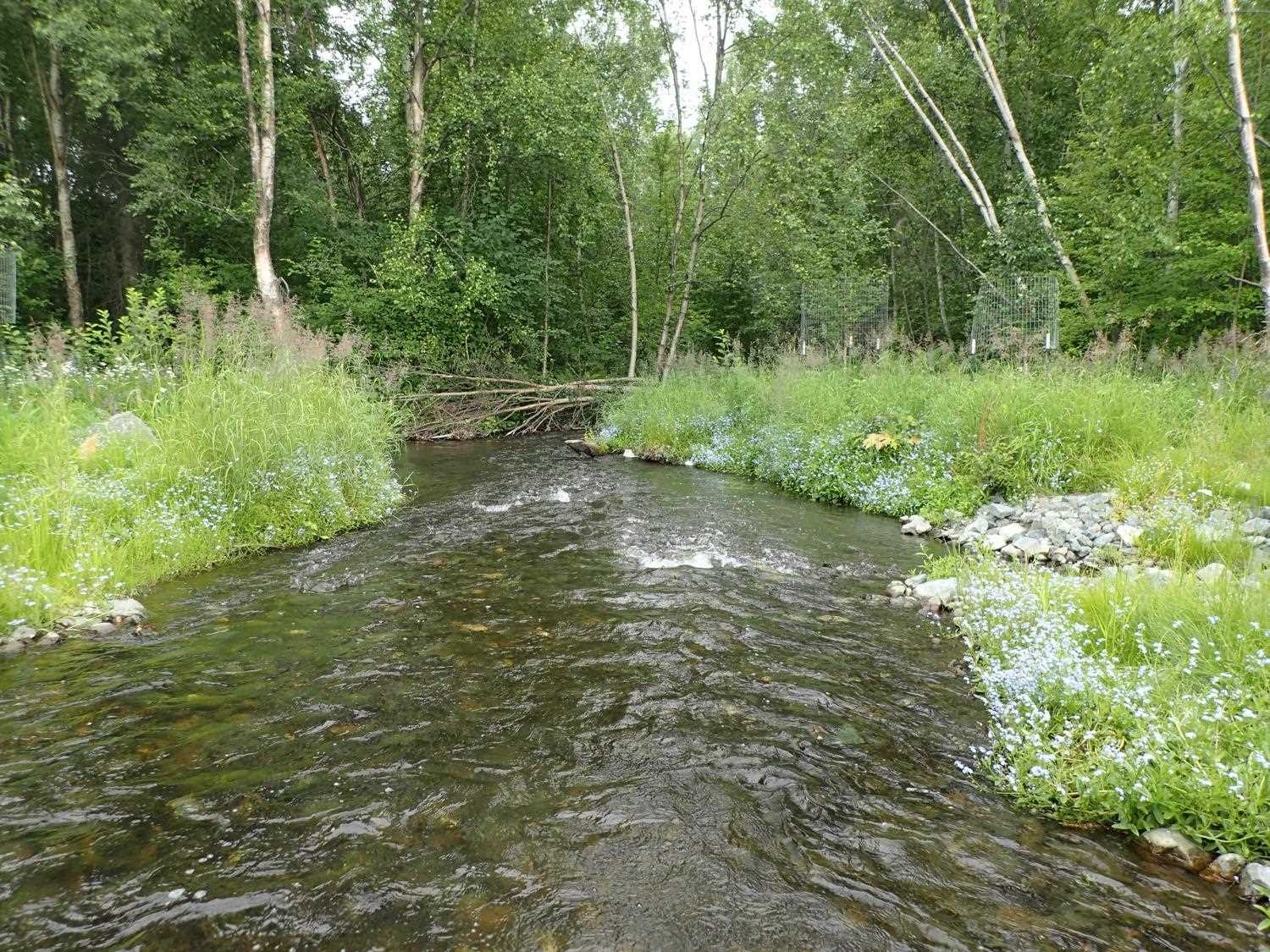
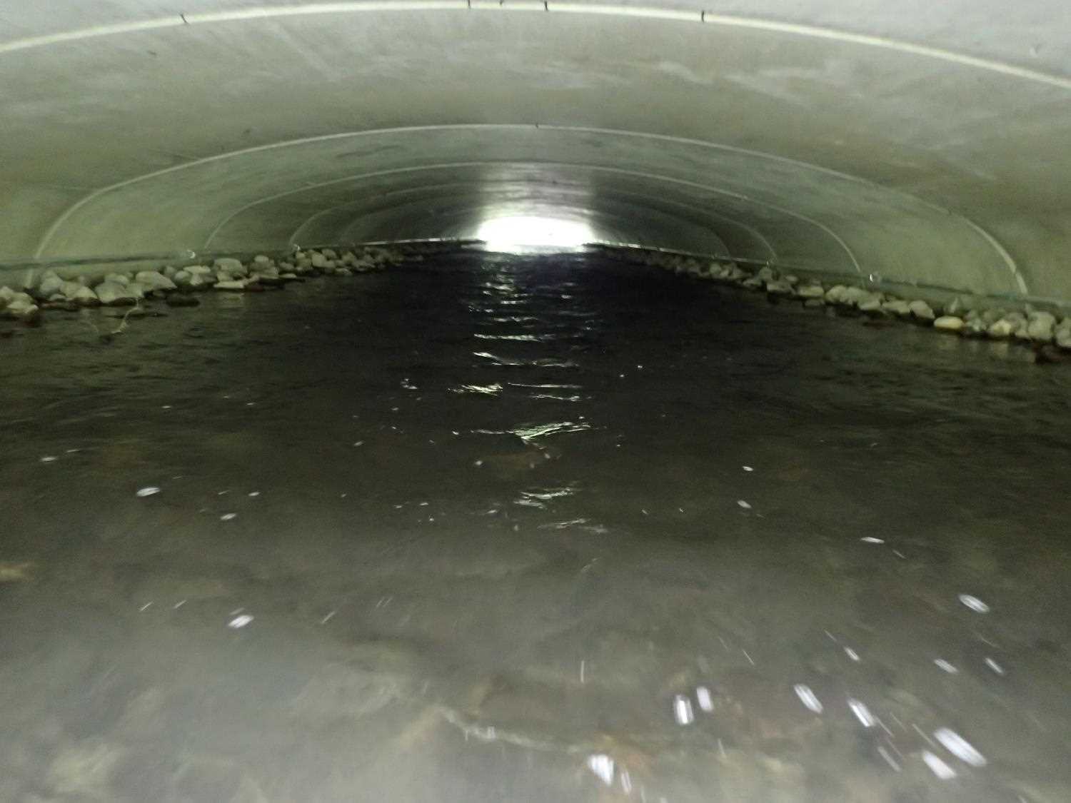
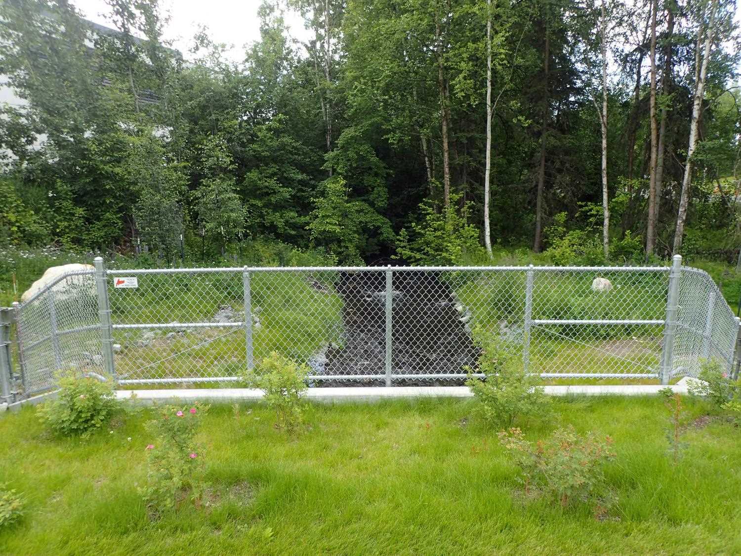
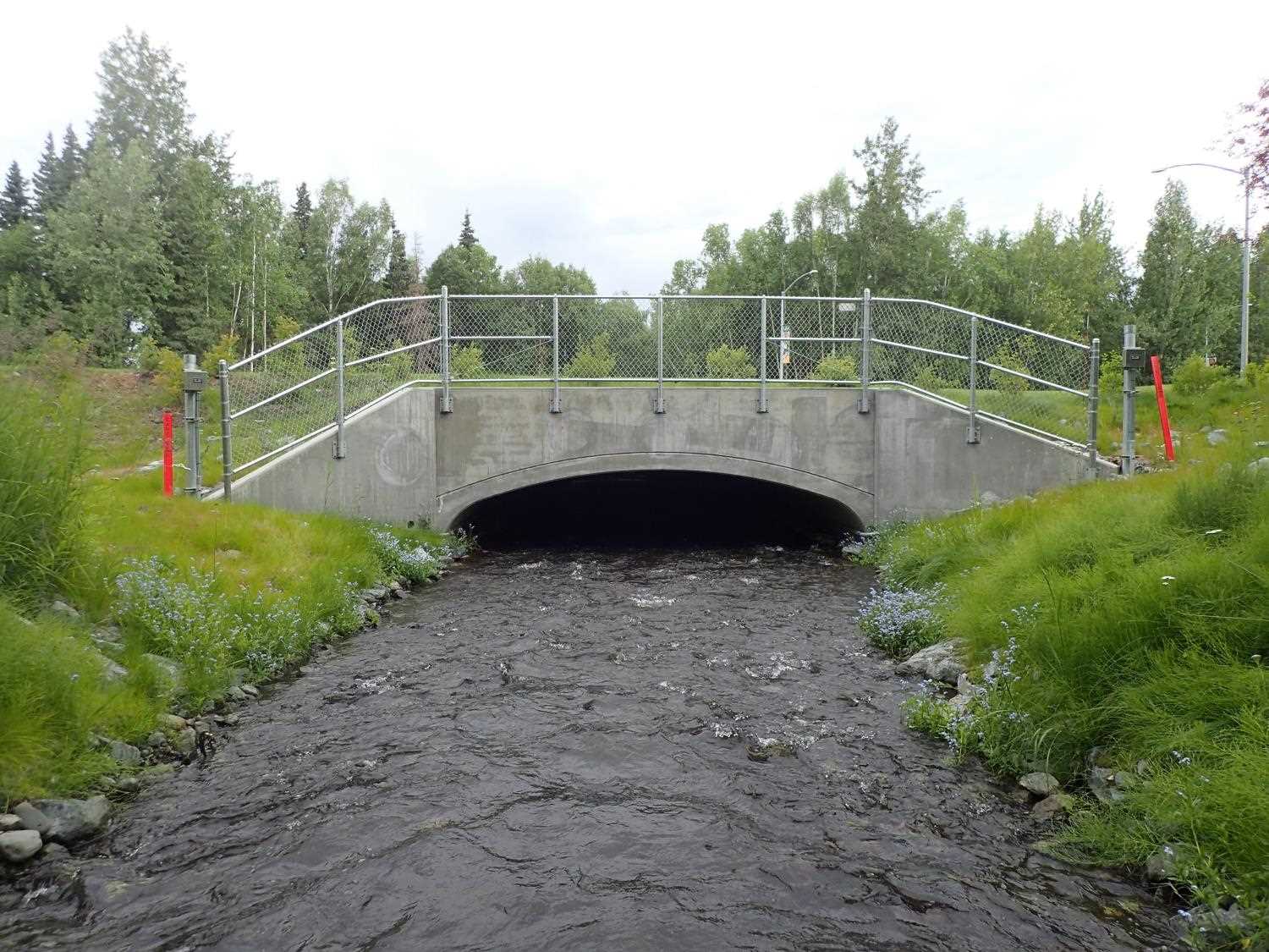
Comments: 2 storm drains and confluences just below the outlet. Mid-channel gravel bar at inlet, thalweg splits.
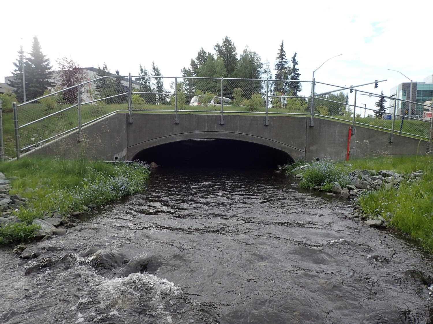
Culvert Measurements
| ID: 1 | Structure Type: Open-bottom arch (Reinforced concrete) | Fish Passage Rating: | |||||||||||||||||||||||||||||||||||||||||
|
|
|
|||||||||||||||||||||||||||||||||||||||||
Comments: Opened bottom arch. No corrugations. |
|||||||||||||||||||||||||||||||||||||||||||
Stream Measurements
|
|
| Stream Width Type | Distance From Crossing (ft) |
Stream Width (ft) |
|---|---|---|
| Downstream ordinary high water | 156.4 | 14.94 |
| Downstream ordinary high water | 223.4 | 17.77 |
| Downstream ordinary high water | 230.4 | 18.43 |
Elevations
| Locator ID | Culvert Number |
River Distance (ft)1 |
Distance From Crossing (ft)2 |
Relative Elevation (ft) |
|---|---|---|---|---|
| Road Elev (Road Surface) | 99.90 | |||
| D/S Thalweg | 0.00 | 89.82 | ||
| D/S Water Surface Elev | 0.00 | 91.35 | ||
| D/S Water Surface Elev | 31.00 | 91.50 | ||
| D/S Thalweg (bottom of riffle) | 31.00 | 90.60 | ||
| Outlet Culvert Top | 60.00 | 95.27 | ||
| D/S Water Surface Elev | 60.00 | 91.79 | ||
| Outlet Invert | 60.00 | 90.48 | ||
| Inlet Culvert Invert | 205.20 | 91.47 | ||
| Inlet Culvert Top | 205.20 | 96.02 | ||
| U/S Water Surface Elev | 205.20 | 92.25 | ||
| U/S Water Surface Elev | 231.20 | 92.64 | ||
| U/S Thalweg | 231.20 | 92.05 | ||
| U/S Thalweg | 250.20 | 91.63 | ||
| U/S Water Surface Elev | 250.20 | 92.89 | ||
| U/S Water Surface Elev | 265.20 | 93.15 | ||
| U/S Thalweg | 265.20 | 92.59 |
Notes:
- River distance is measured continuously throughout the survey reach along the thalweg of the stream.
- Measured from each end of the crossing along the thalweg of the stream.
Fish Sampling Efforts
No fish sampling occurred during this survey.
Fish Observations
No fish observations occurred during this survey.
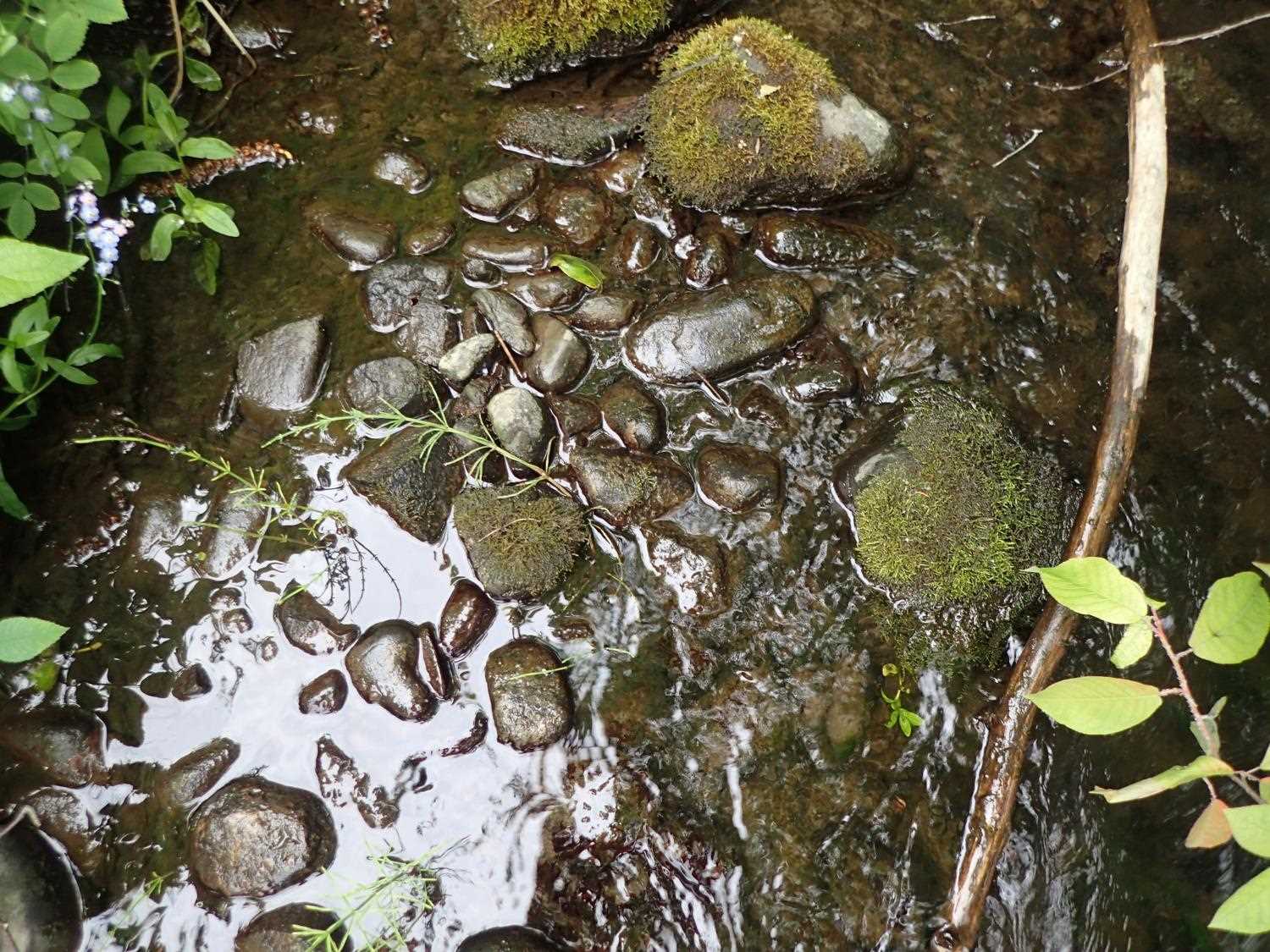
Photos

Questions or comments about this report can be directed to dfg.dsf.webmaster@alaska.gov