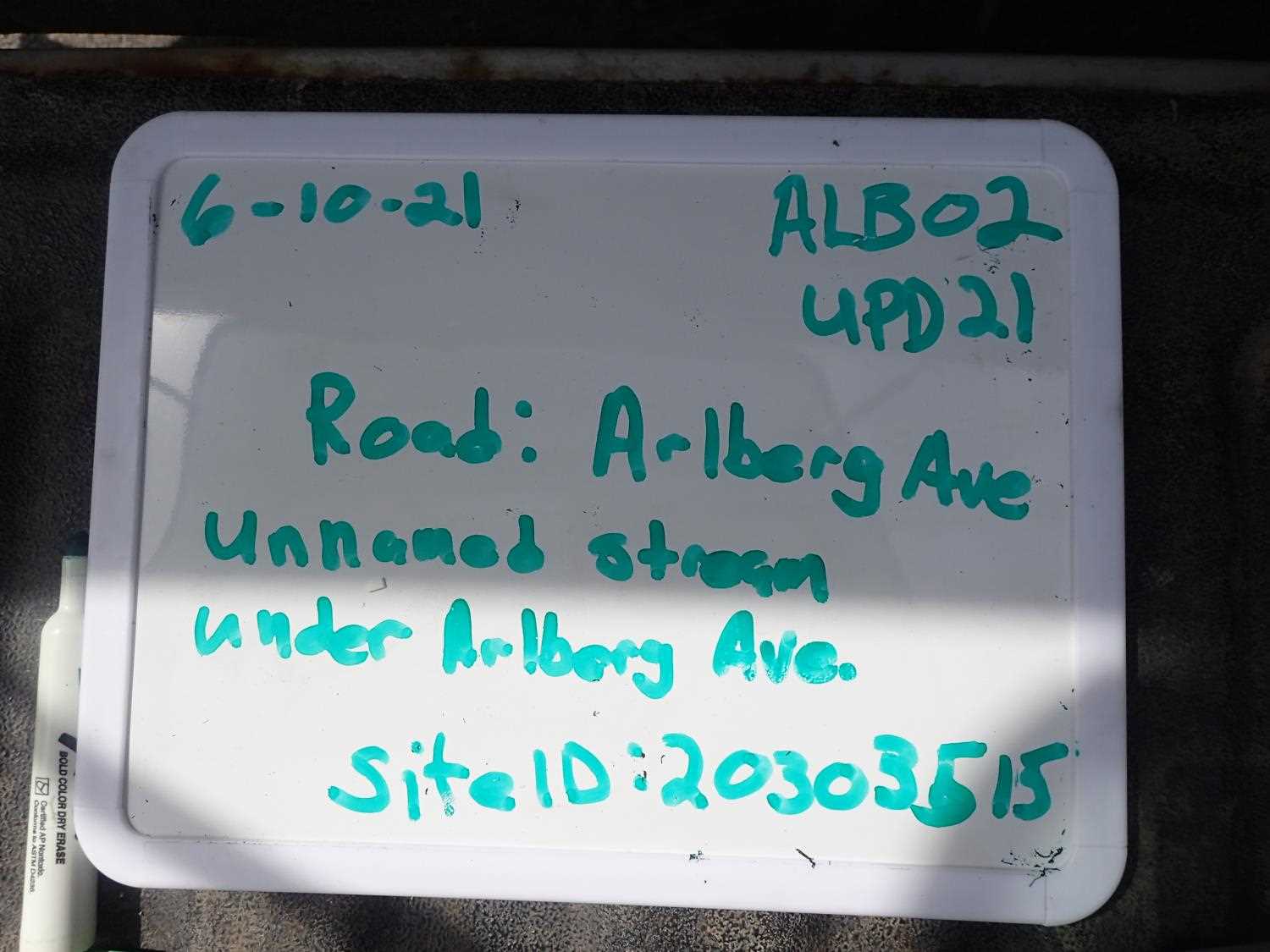
Fish Passage Site 20303515
Coordinates (dec. deg.): 60.97443°, -149.09525°
Legal Description: S010N002E09
Region: South Central
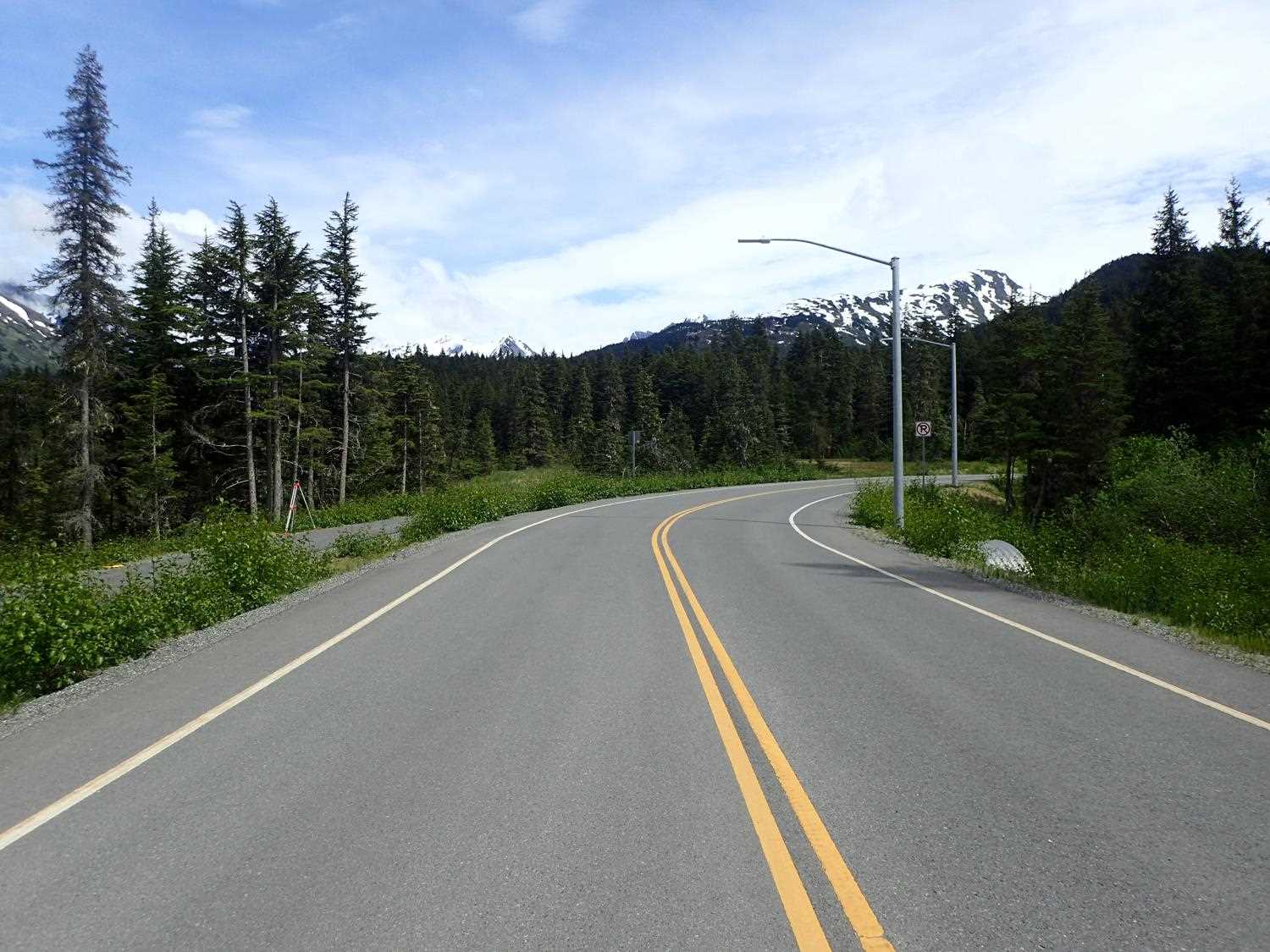
Road Name: Arlberg Avenue
Datum: NAD83
Quad Name / ITM: Seward D-6
AWC Stream #: 247-60-10250-2018-3132
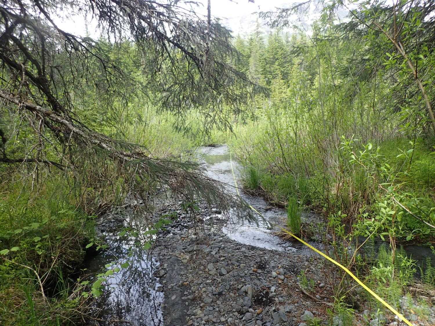
Stream Name: Unnamed
Elevation:
Site Comments: None
arrow to the right of the survey date below to choose a different report for this site.
Survey UPD21-ALB02
Project Supervisor: Kim Clark, ADFG
— Anchorage, AK
Observers: Kim Clark, Michael Mazzacavallo
Overall Fish Passage Rating:
Tidal: No
Backwatered: No
Step Pools: No
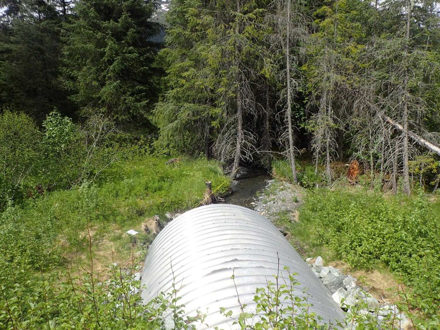
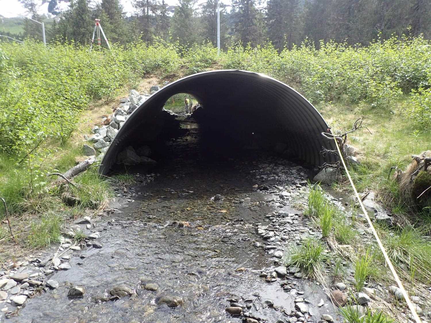
Construction Year: 2016
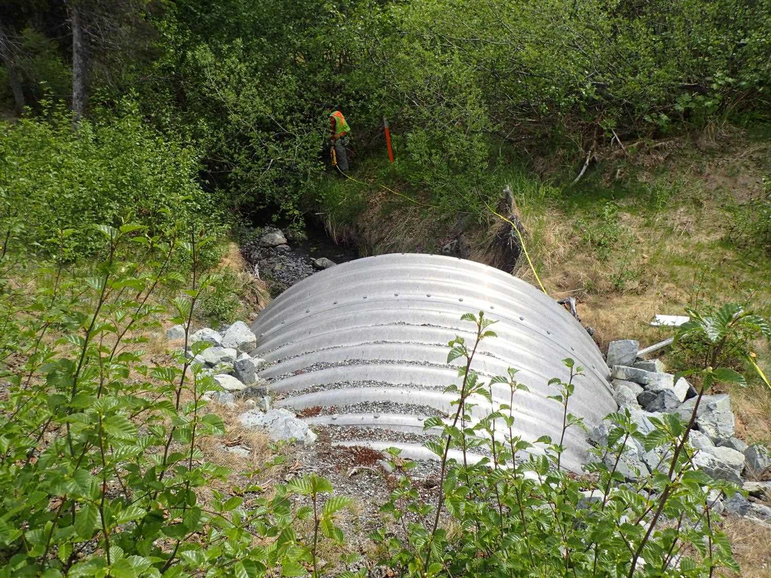
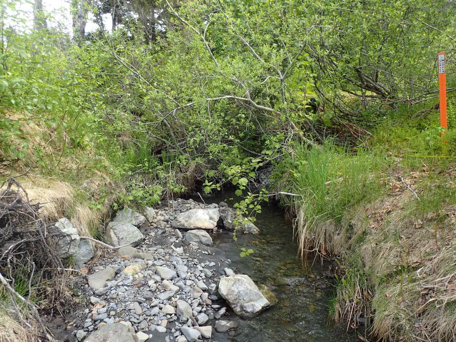
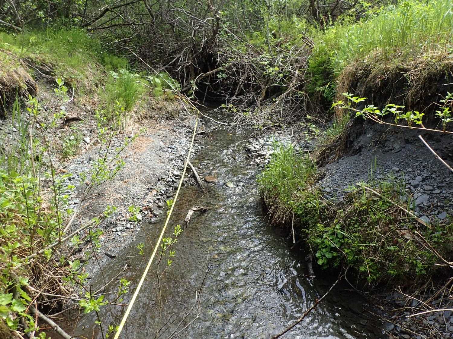
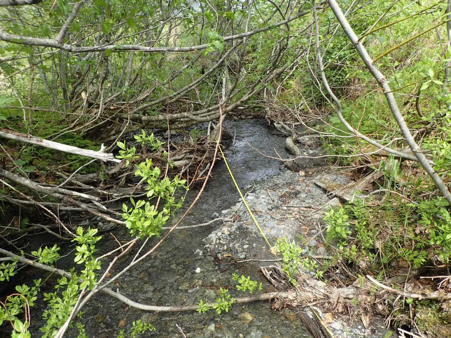
Comments: Willow stakes did not survive. Monitoring is recommended due to downcutting at inlet and upstream.
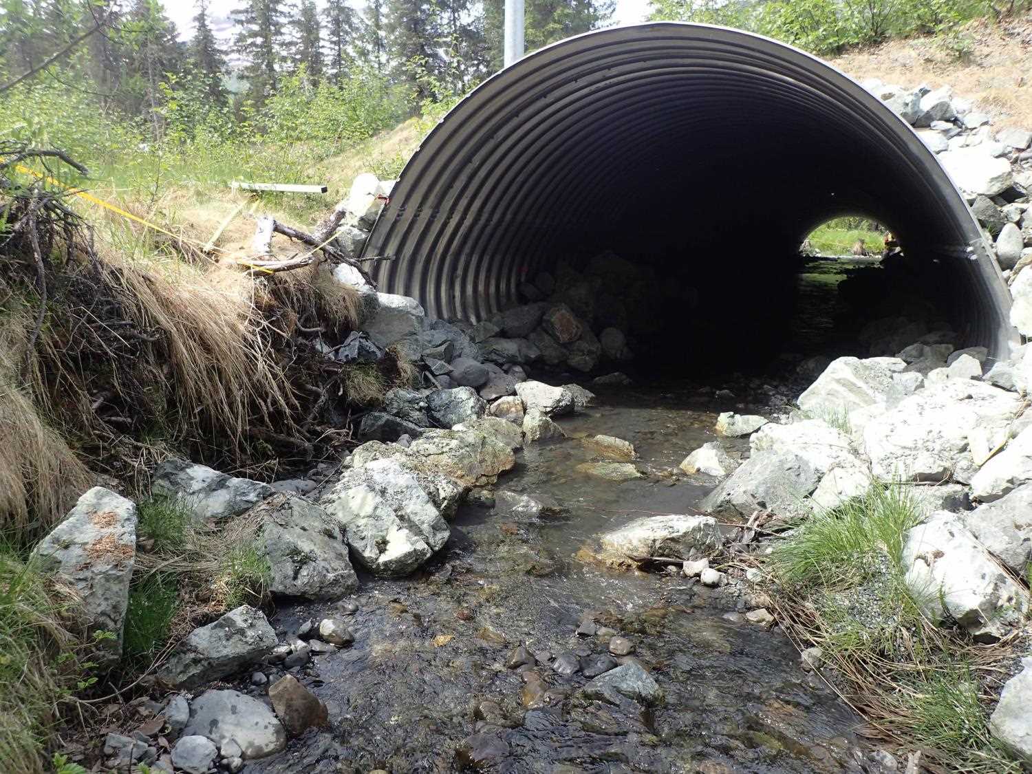
Culvert Measurements
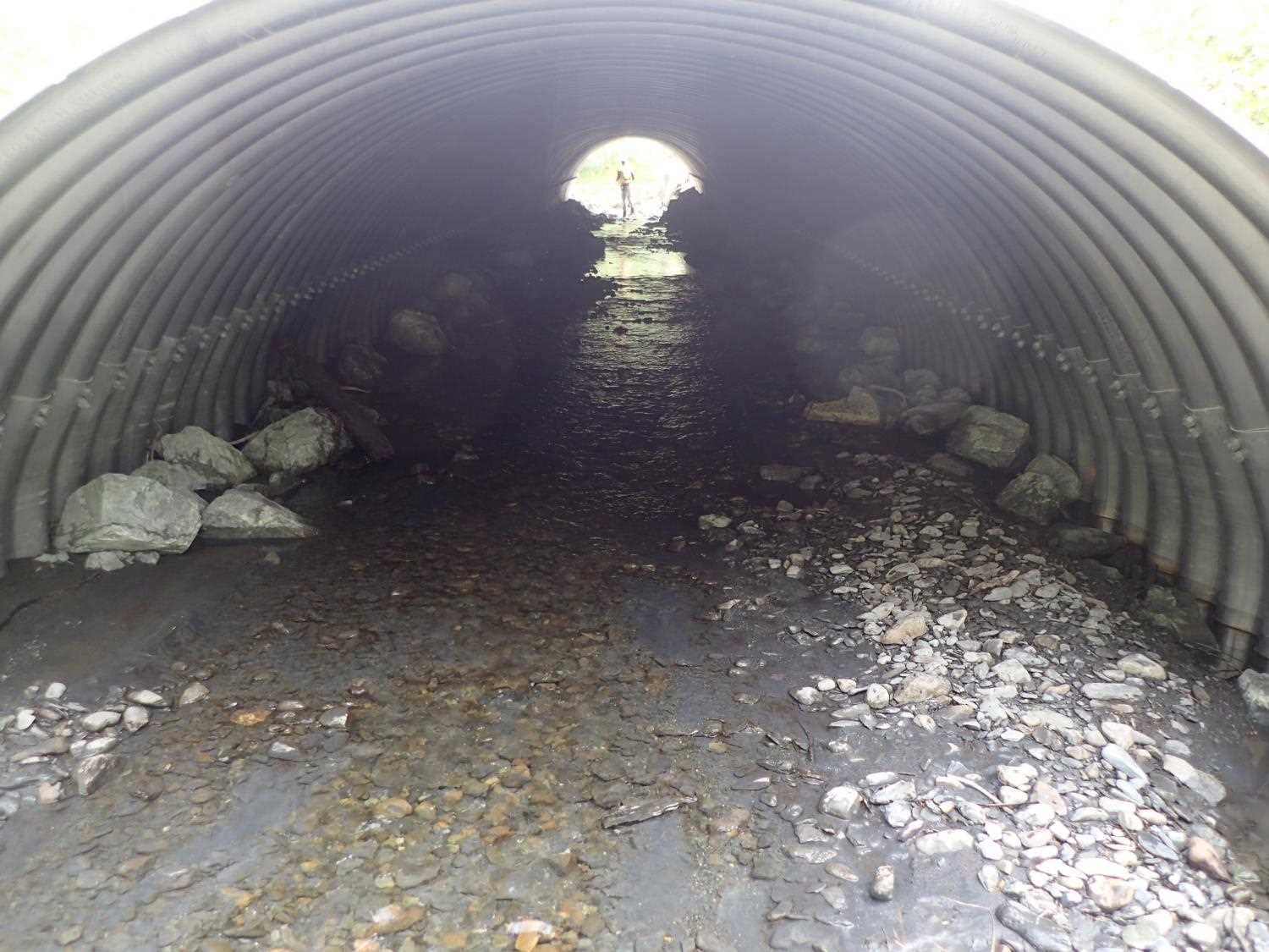
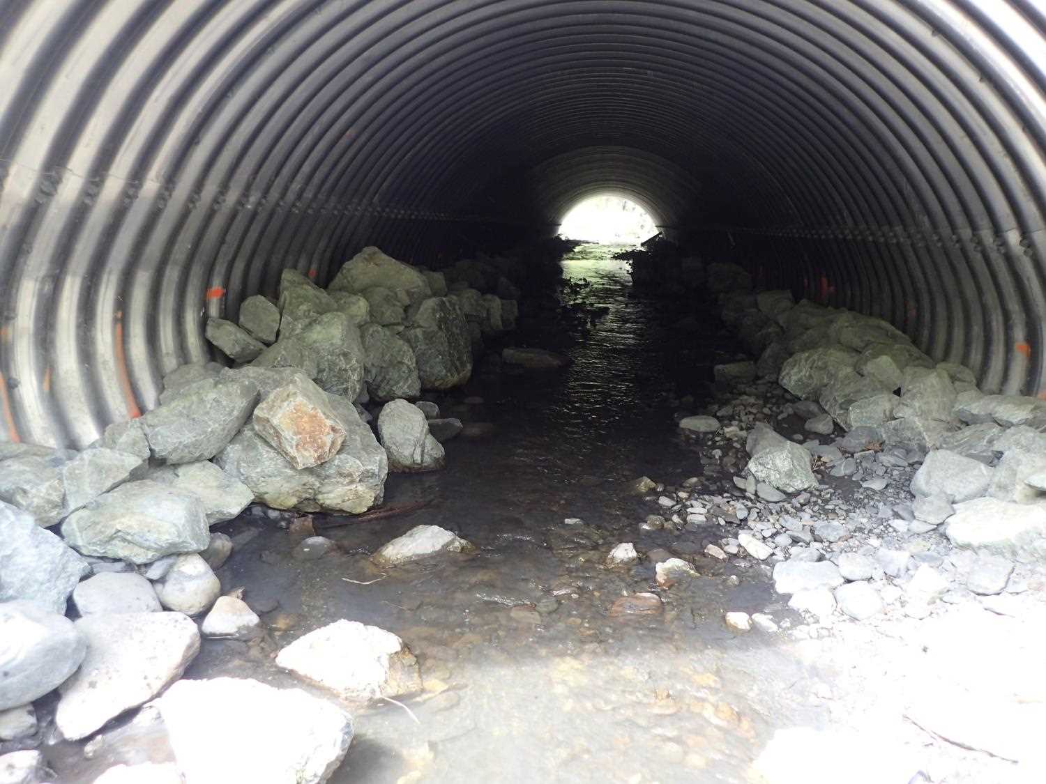
| ID: 1 | Structure Type: Pipe-arch (Structural aluminum plate) | Fish Passage Rating: | ||||||||||||||||||||||||||||||||||||||||||
|
|
|
||||||||||||||||||||||||||||||||||||||||||
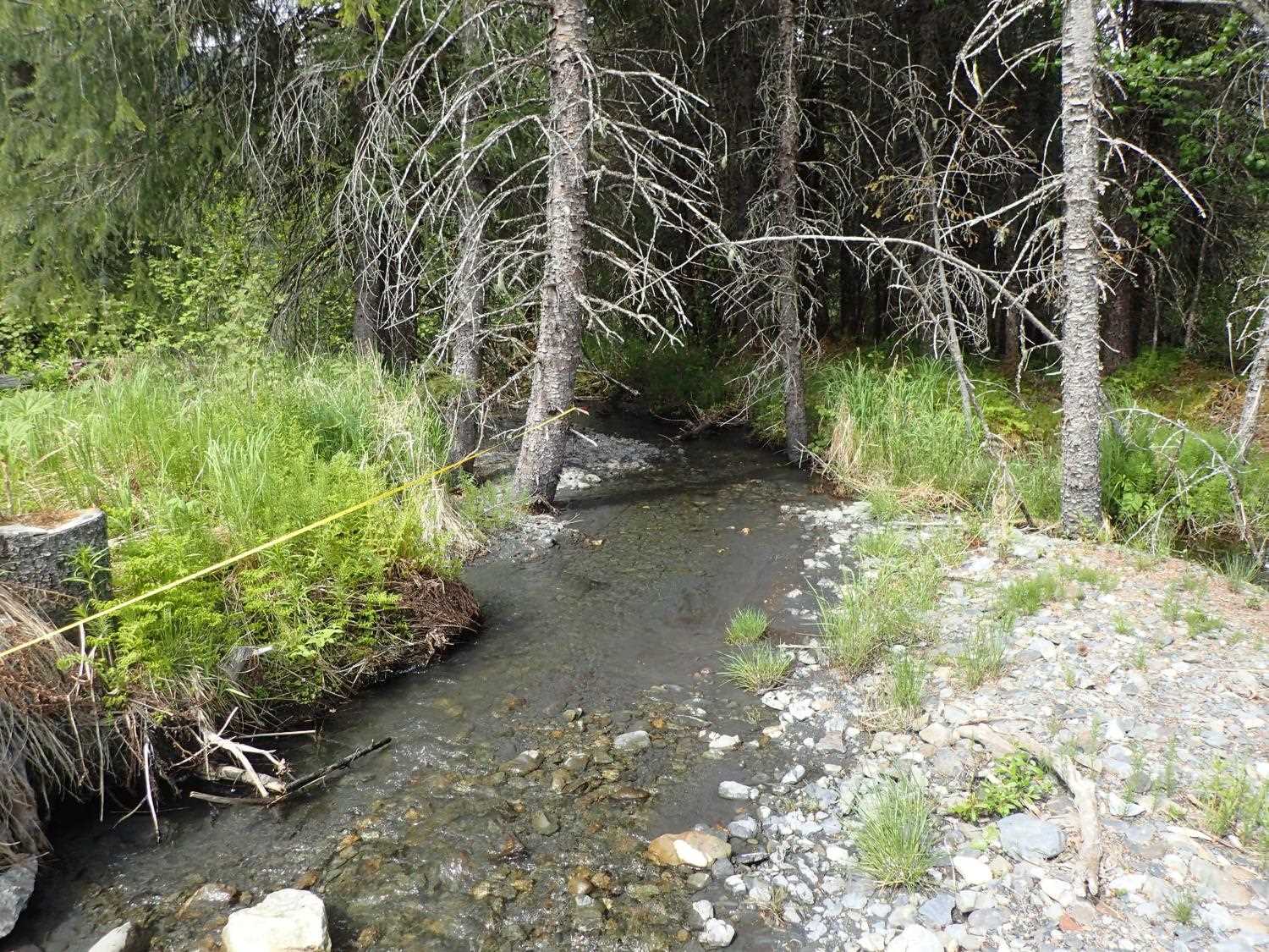
Stream Measurements
|
|
| Stream Width Type | Distance From Crossing (ft) |
Stream Width (ft) |
|---|---|---|
| Upstream ordinary high water | 62.8 | 8.30 |
| Upstream ordinary high water | 94.0 | 8.00 |
| Upstream ordinary high water | 153.0 | 6.40 |
Elevations
| Locator ID | Culvert Number |
River Distance (ft)1 |
Distance From Crossing (ft)2 |
Relative Elevation (ft) |
|---|---|---|---|---|
| U/S Grade Ctrl (Thalweg) | 0.00 | 96.81 | ||
| U/S Water Surface Elev | 0.00 | 97.42 | ||
| U/S Water Surface Elev | 35.00 | 96.65 | ||
| U/S Grade Ctrl (Thalweg) | 35.00 | 96.13 | ||
| Inlet Culvert Invert | 56.00 | 96.23 | ||
| U/S Water Surface Elev | 56.00 | 96.52 | ||
| Inlet Culvert Top | 56.00 | 104.54 | ||
| Outlet Culvert Top | 153.30 | 101.13 | ||
| Outlet Invert | 153.30 | 95.20 | ||
| D/S Water Surface Elev | 153.30 | 95.38 | ||
| D/S Thalweg | 159.30 | 94.67 | ||
| D/S Water Surface Elev | 159.30 | 94.91 | ||
| D/S Thalweg | 195.30 | 94.07 | ||
| D/S Water Surface Elev | 195.30 | 94.26 |
Notes:
- River distance is measured continuously throughout the survey reach along the thalweg of the stream.
- Measured from each end of the crossing along the thalweg of the stream.
Fish Sampling Efforts
No fish sampling occurred during this survey.
Fish Observations
No fish observations occurred during this survey.
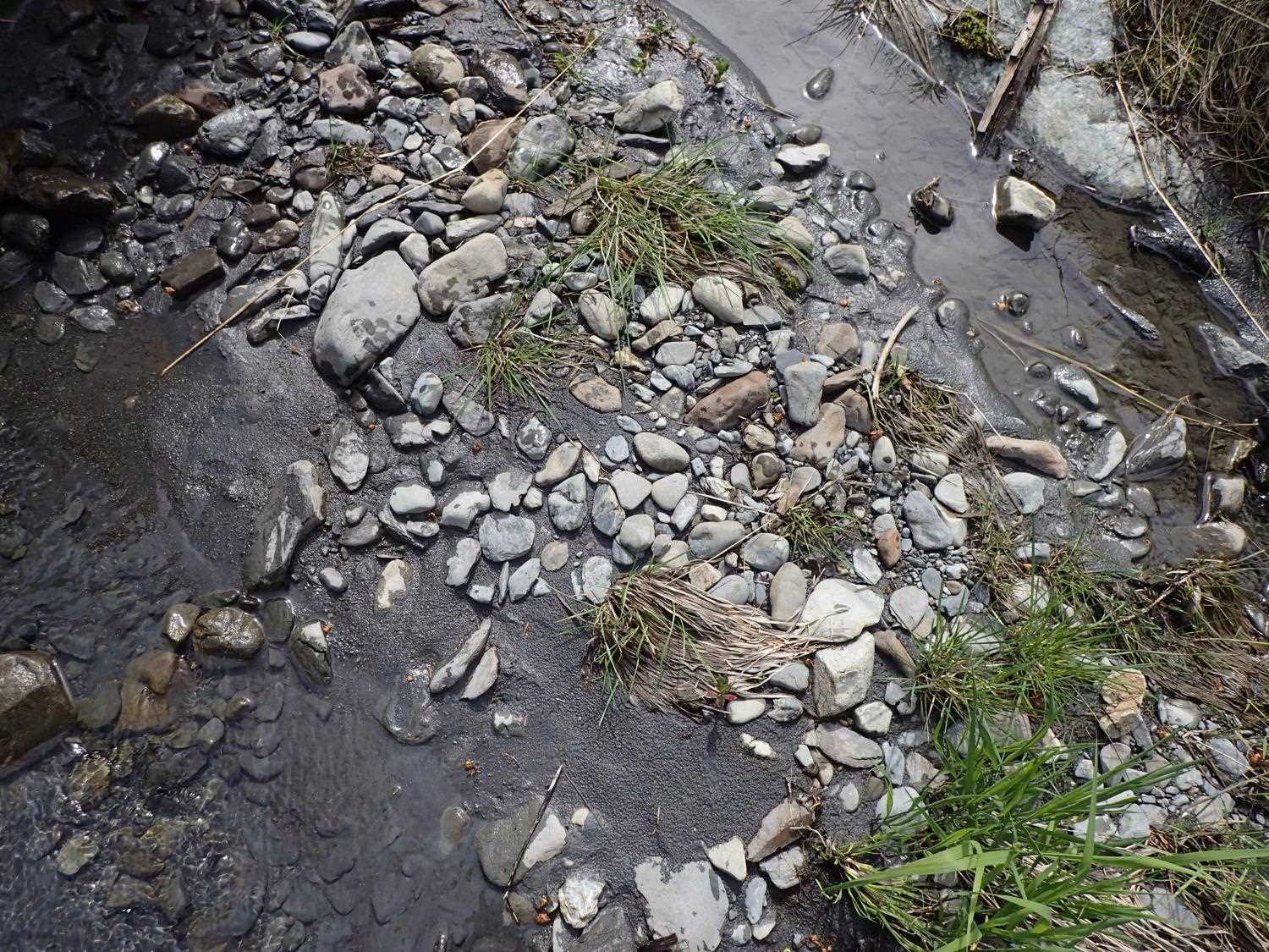
Photos

Questions or comments about this report can be directed to dfg.dsf.webmaster@alaska.gov