Fish Passage Site 20303514
Coordinates (dec. deg.): 60.97427°, -149.09608°
Legal Description: S010N002E09
Region: South Central
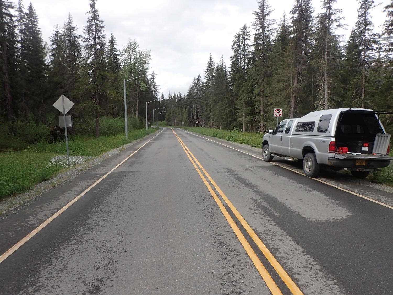
Road Name: Arlberg Avenue
Datum: NAD83
Quad Name / ITM: Seward D-6
AWC Stream #: 247-60-10250-2018-3130
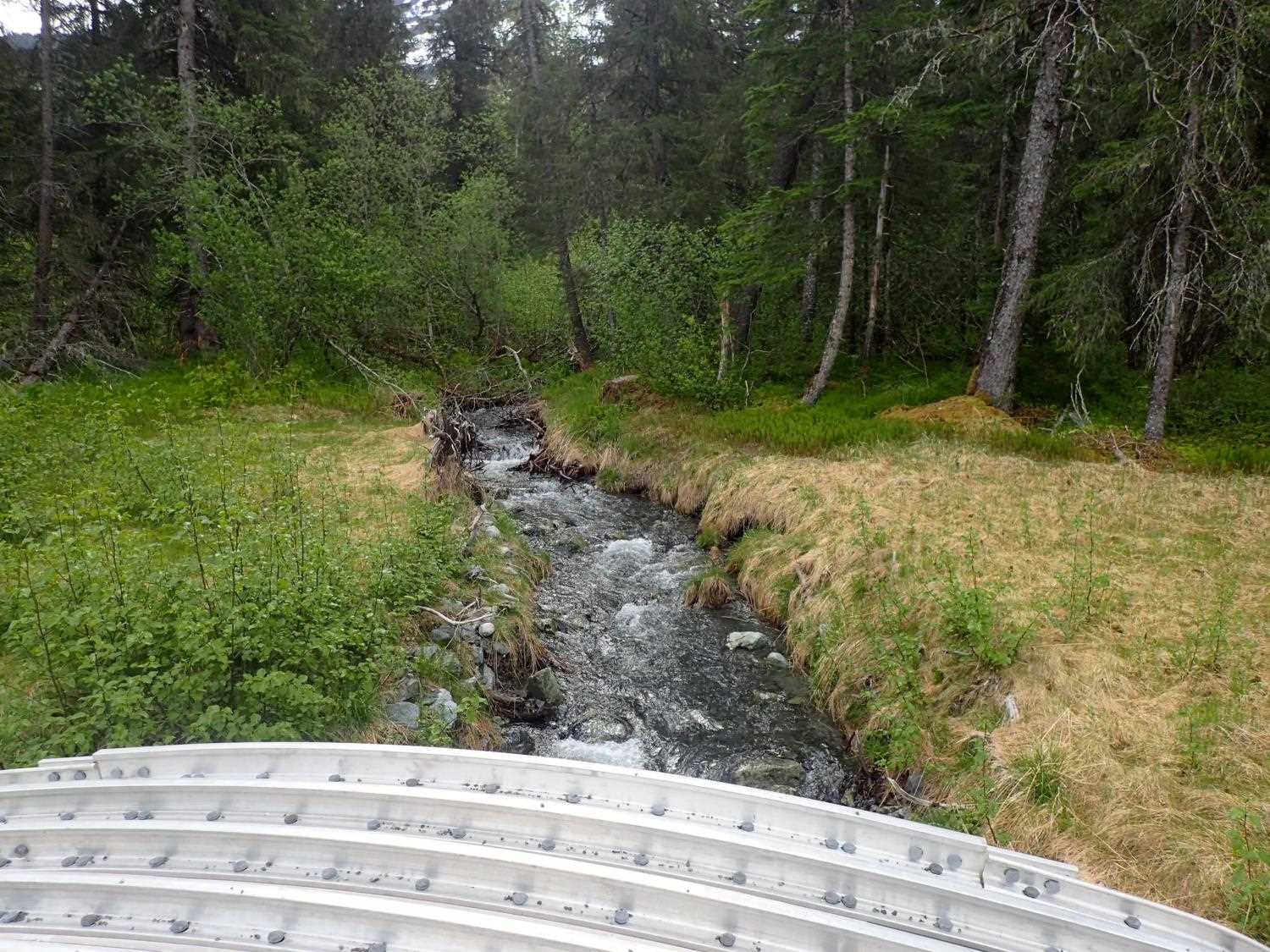
Stream Name: Unnamed
Elevation:
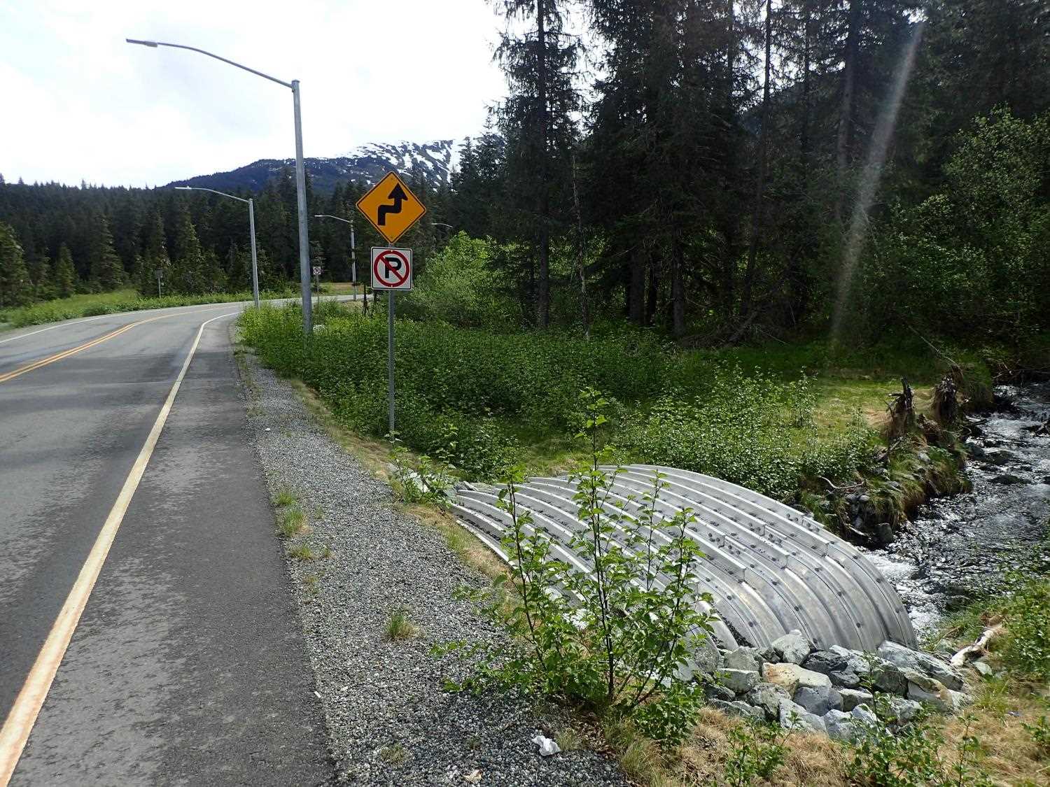
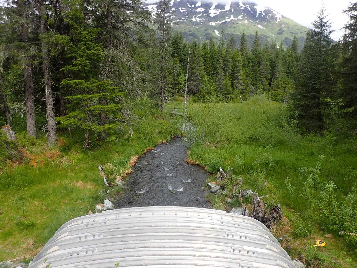
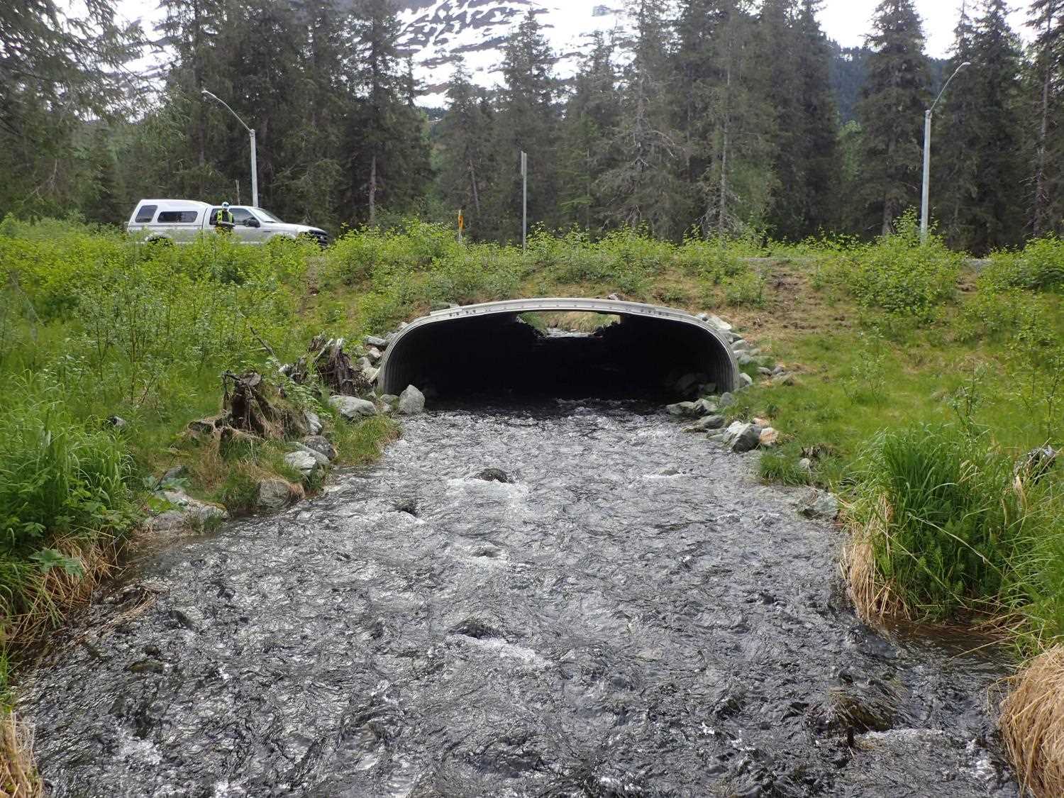
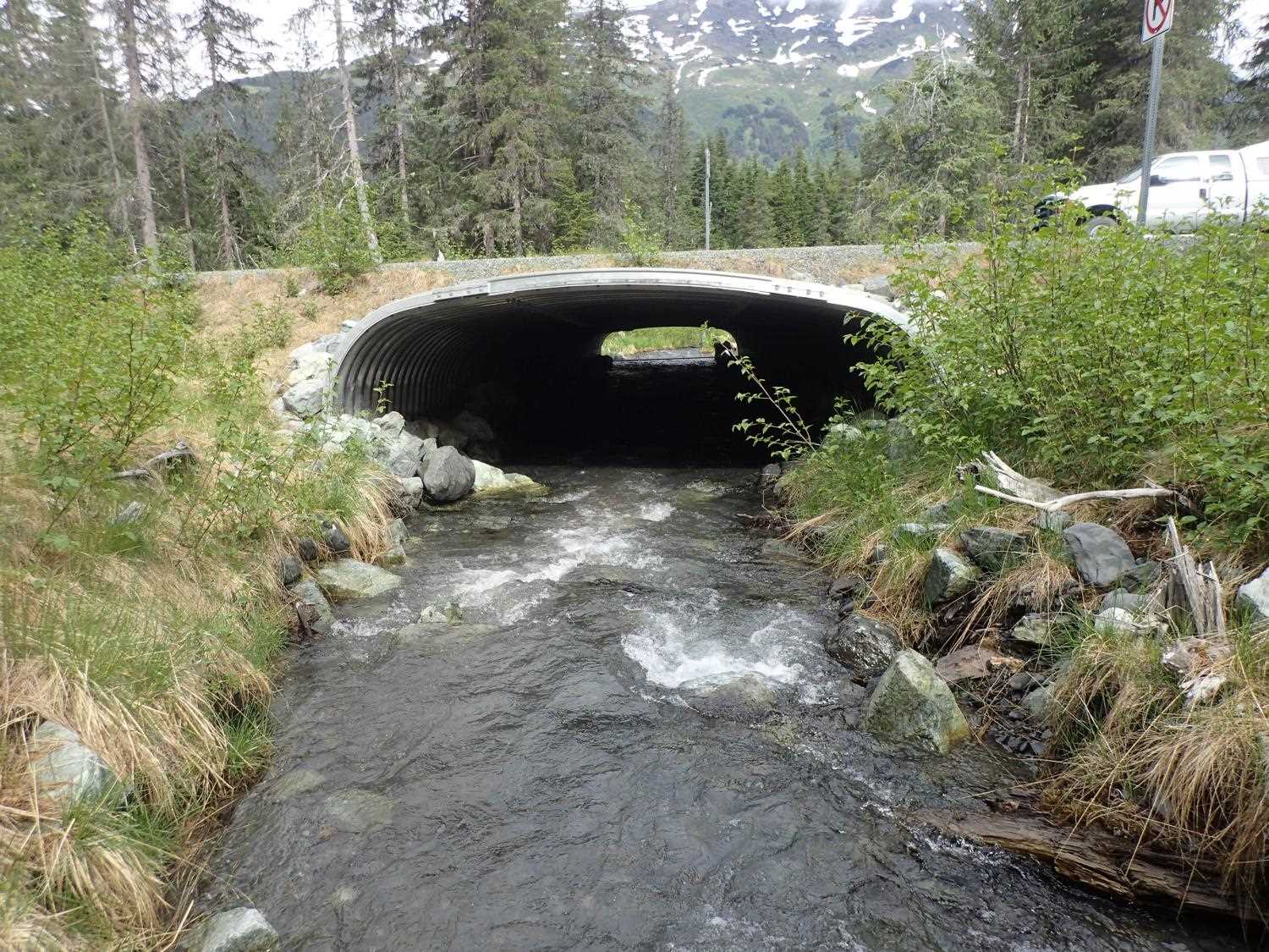
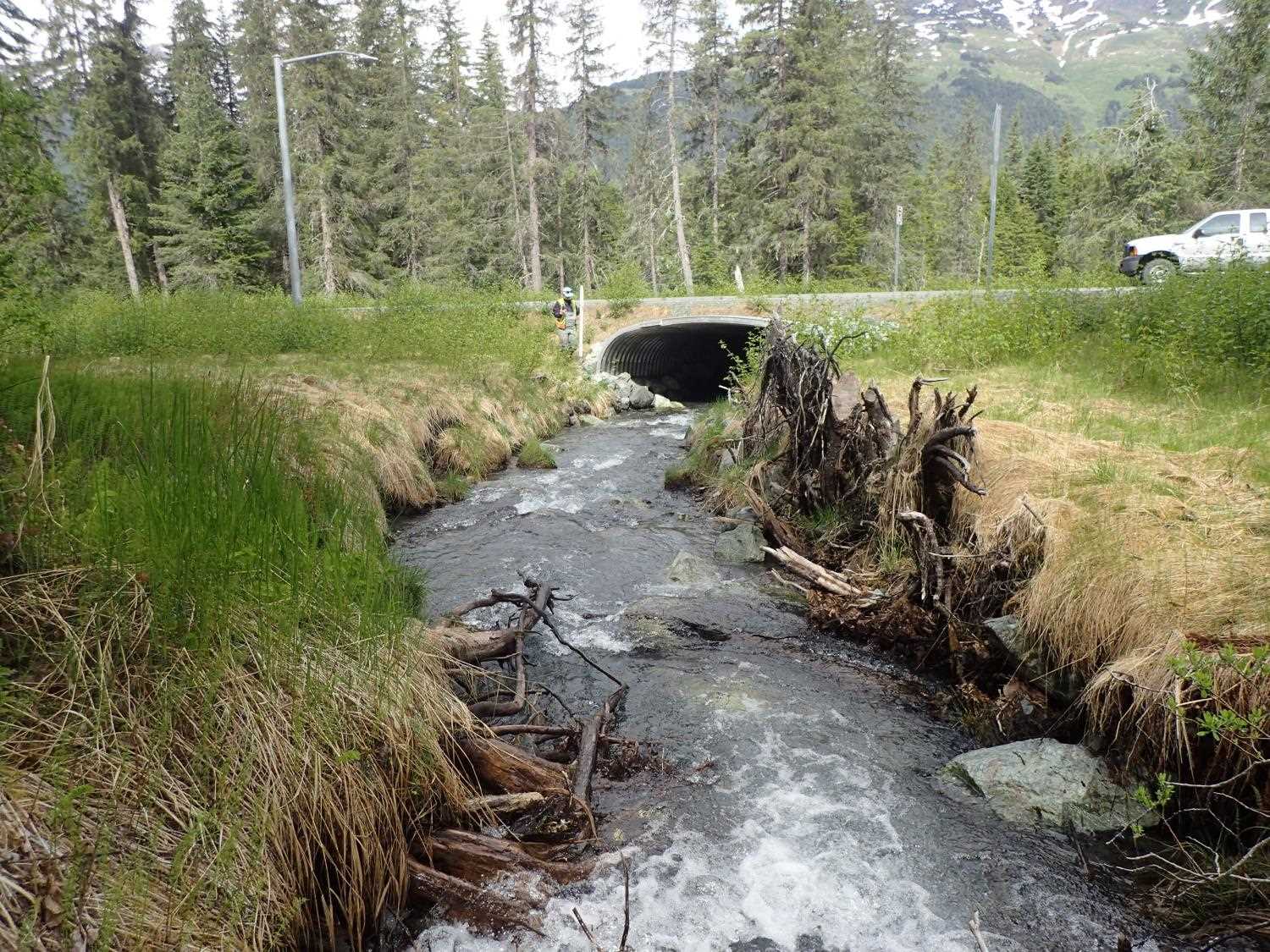
Site Comments: Site on new extention of Arlberg Ave. Stream has confluence with a slough about 70 feet below culvert outlet. 20303515 is just up the road and is a large pipe arch..
arrow to the right of the survey date below to choose a different report for this site.
Survey UPD21-ALB01
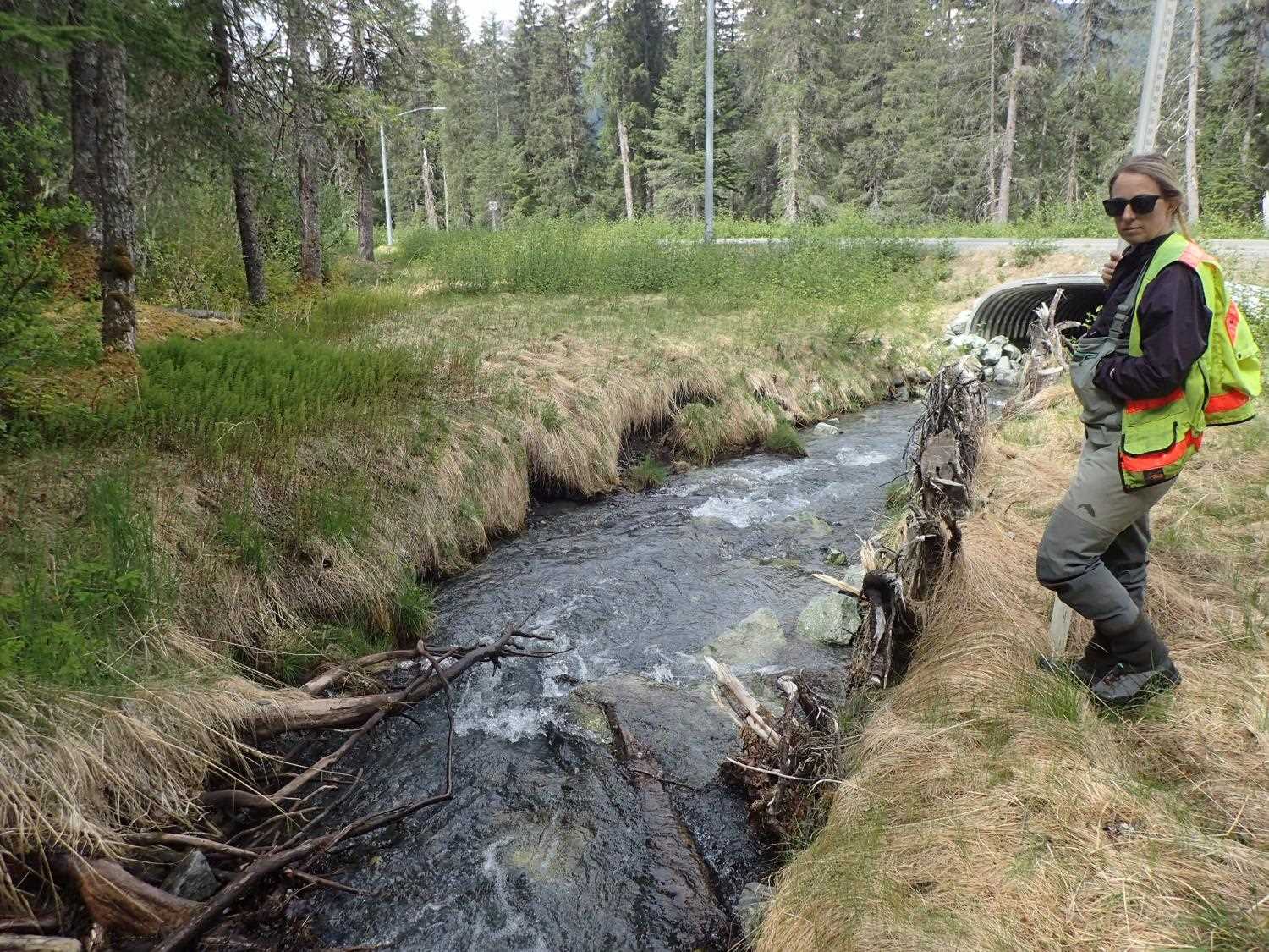
Project Supervisor: Kim Clark, ADFG
— Anchorage, AK
Observers: Kim Clark, Michael Mazzacavallo
Overall Fish Passage Rating:
Tidal: No
Backwatered: No
Step Pools: No
Construction Year: 2016
Comments: Willow stakes look good. Erosion on upstream bank opposite of rootwads, channel has downcut somewhat. Some survey stakes still present.
Culvert Measurements
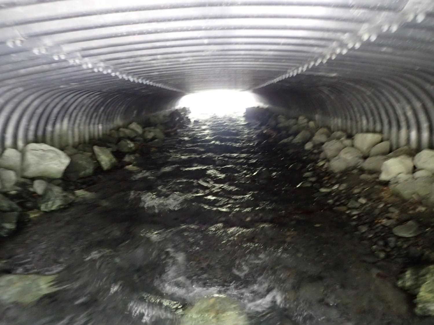
| ID: 1 | Structure Type: Box culvert (Structural aluminum plate) | Fish Passage Rating: | ||||||||||||||||||||||||||||||||||||||||||
|
|
|
||||||||||||||||||||||||||||||||||||||||||
Comments: as-built culvert dimensions are 13.1 ft by 8.25ft which was used to calculate substrate depth. Passage gradient using Water surface gradient = 2.16%. |
||||||||||||||||||||||||||||||||||||||||||||
Stream Measurements
|
|
| Stream Width Type | Distance From Crossing (ft) |
Stream Width (ft) |
|---|---|---|
| Upstream ordinary high water | 96.0 | 7.40 |
| Upstream ordinary high water | 107.0 | 7.90 |
| Upstream ordinary high water | 117.0 | 7.30 |
Elevations
| Locator ID | Culvert Number |
River Distance (ft)1 |
Distance From Crossing (ft)2 |
Relative Elevation (ft) |
|---|---|---|---|---|
| D/S Water Surface Elev | 0.00 | 93.27 | ||
| D/S Thalweg | 0.00 | 92.42 | ||
| D/S Thalweg | 15.50 | 93.14 | ||
| D/S Water Surface Elev | 15.50 | 93.57 | ||
| Outlet Invert | 70.00 | 94.69 | ||
| D/S Water Surface Elev | 70.00 | 95.16 | ||
| Outlet Culvert Top | 70.00 | 100.51 | ||
| Inlet Culvert Top | 155.90 | 102.75 | ||
| Inlet Culvert Invert | 155.90 | 96.21 | ||
| U/S Water Surface Elev | 155.90 | 97.02 | ||
| U/S Thalweg | 166.40 | 96.62 | ||
| U/S Water Surface Elev | 166.40 | 97.37 | ||
| U/S Water Surface Elev | 184.50 | 97.98 | ||
| U/S Thalweg | 184.50 | 96.85 | ||
| U/S Thalweg | 187.00 | 97.28 | ||
| U/S Water Surface Elev | 187.00 | 98.01 | ||
| U/S Thalweg | 205.60 | 97.70 | ||
| U/S Water Surface Elev | 205.60 | 98.89 | ||
| U/S Water Surface Elev | 209.29 | 99.41 | ||
| U/S Thalweg | 209.29 | 98.85 | ||
| U/S Water Surface Elev | 220.40 | 99.88 | ||
| U/S Thalweg | 220.40 | 99.17 |
Notes:
- River distance is measured continuously throughout the survey reach along the thalweg of the stream.
- Measured from each end of the crossing along the thalweg of the stream.
Fish Sampling Efforts
No fish sampling occurred during this survey.
Fish Observations
No fish observations occurred during this survey.
Photos


Questions or comments about this report can be directed to dfg.dsf.webmaster@alaska.gov