Fish Passage Site 20302477
Coordinates (dec. deg.): 60.51339°, -150.79164°
Legal Description: S005N009W24
Region: South Central
Road Name: Duncan Drive
Datum: WGS84
Quad Name / ITM: Kenai C-3
AWC Stream #: 244-30-10010-2057
Stream Name: Kenai River Tributary
Elevation:
Site Comments: None
Survey UPD21-DUN01
Project Supervisor: Kim Clark, ADFG
— Anchorage, AK
Observers: Gillian O'Doherty
Overall Fish Passage Rating:
Tidal:
Backwatered:
Step Pools:
Construction Year: 2009
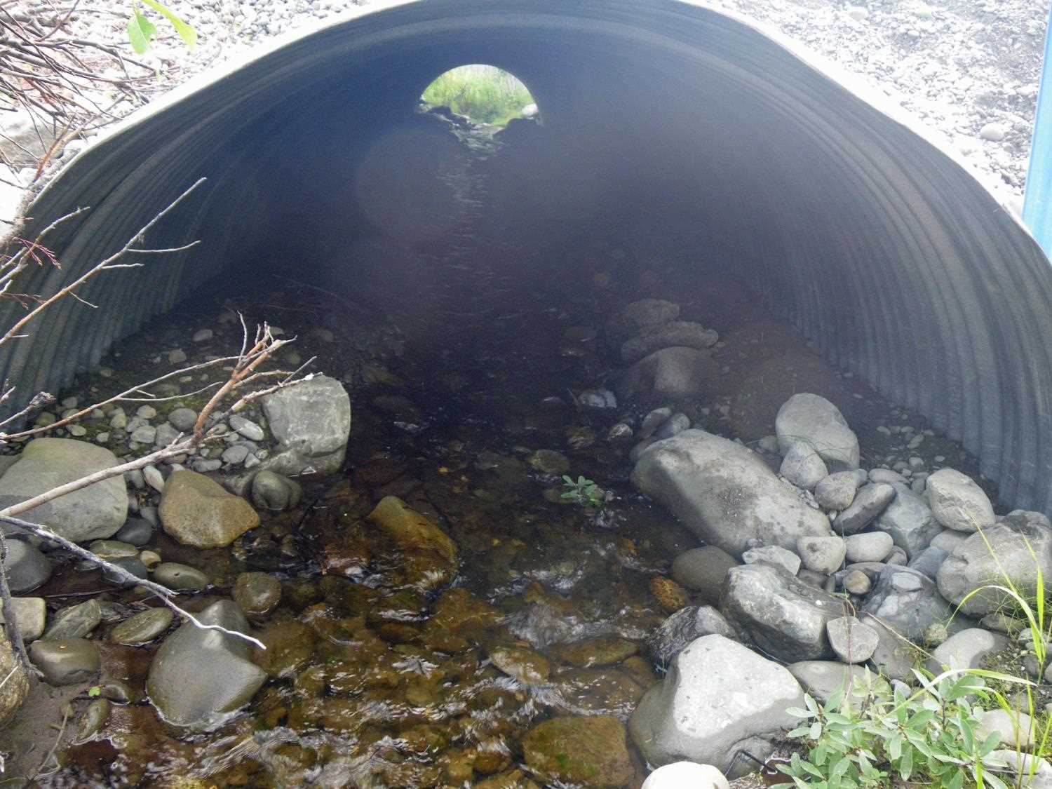
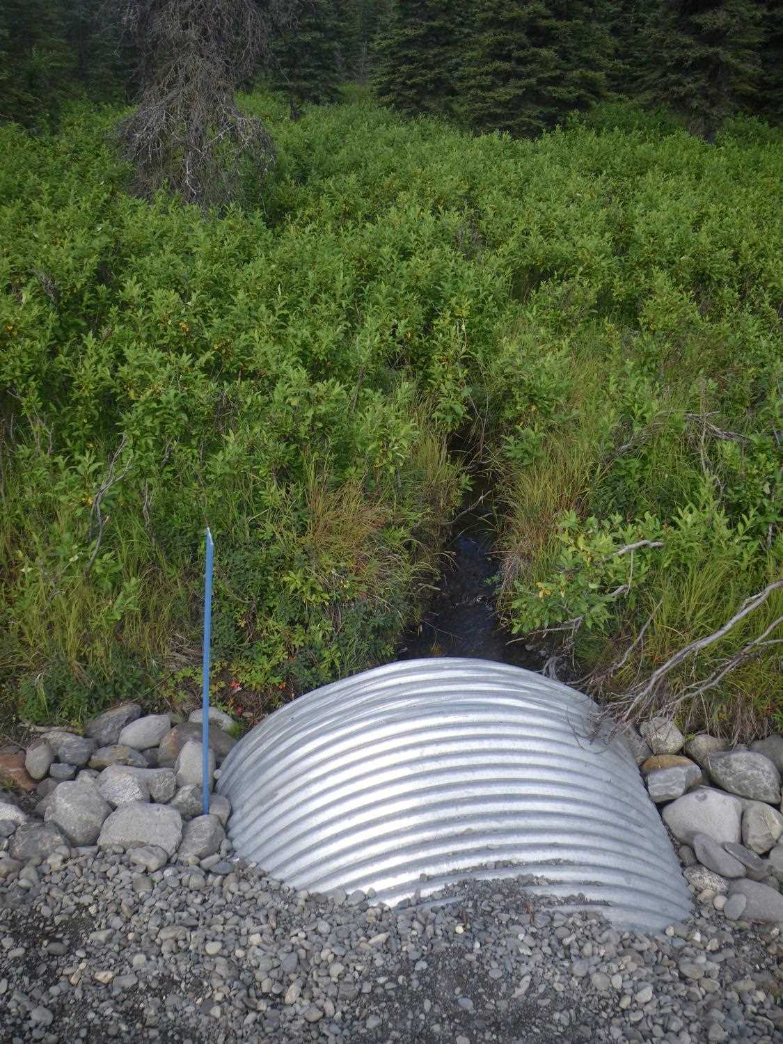
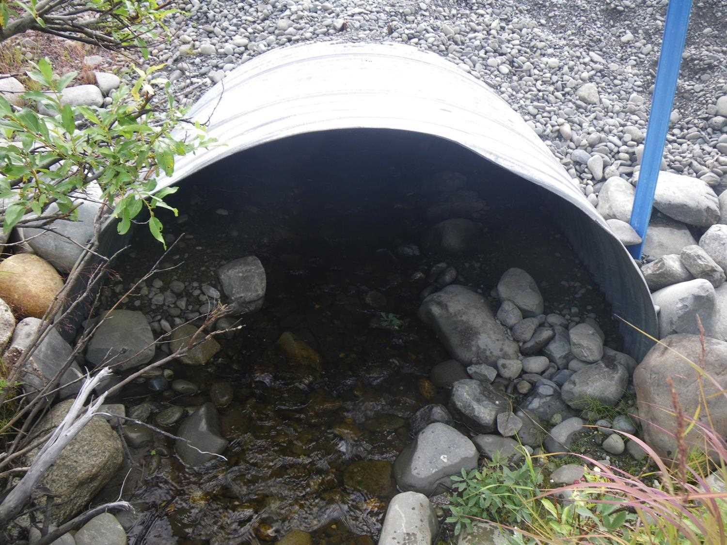
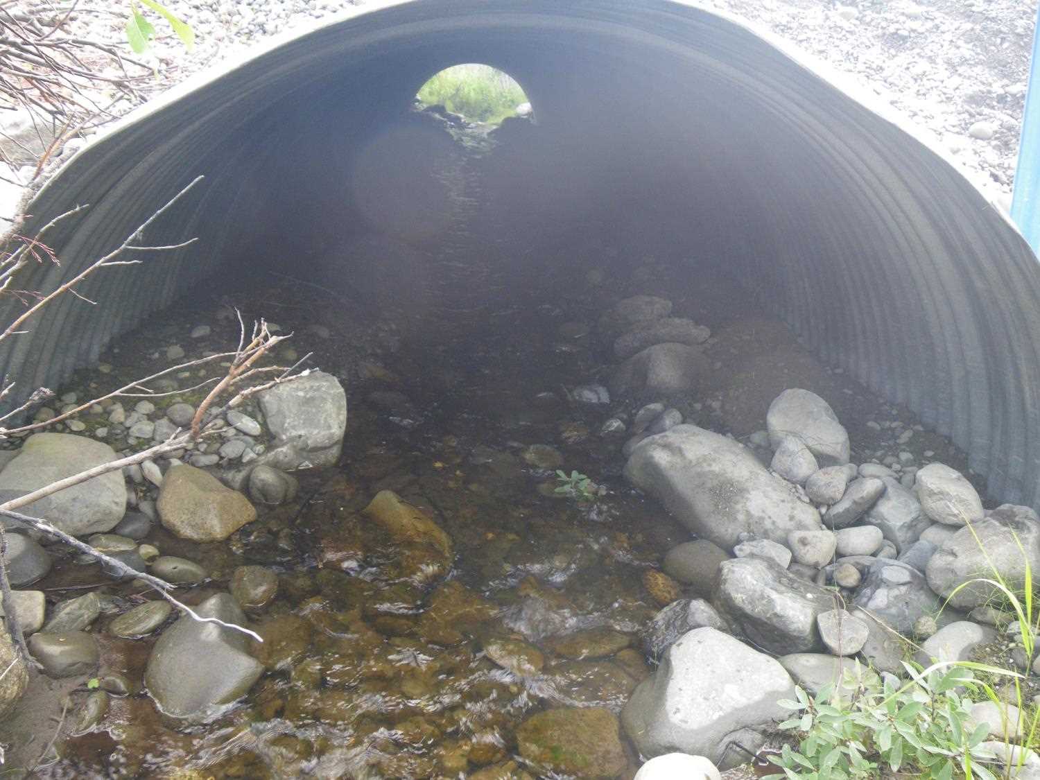
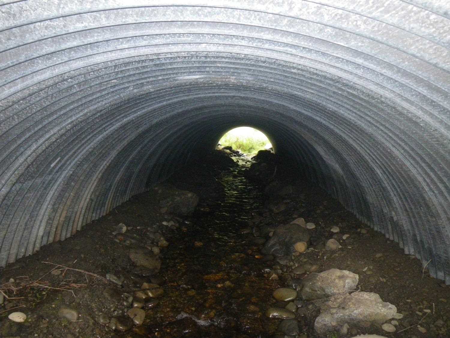
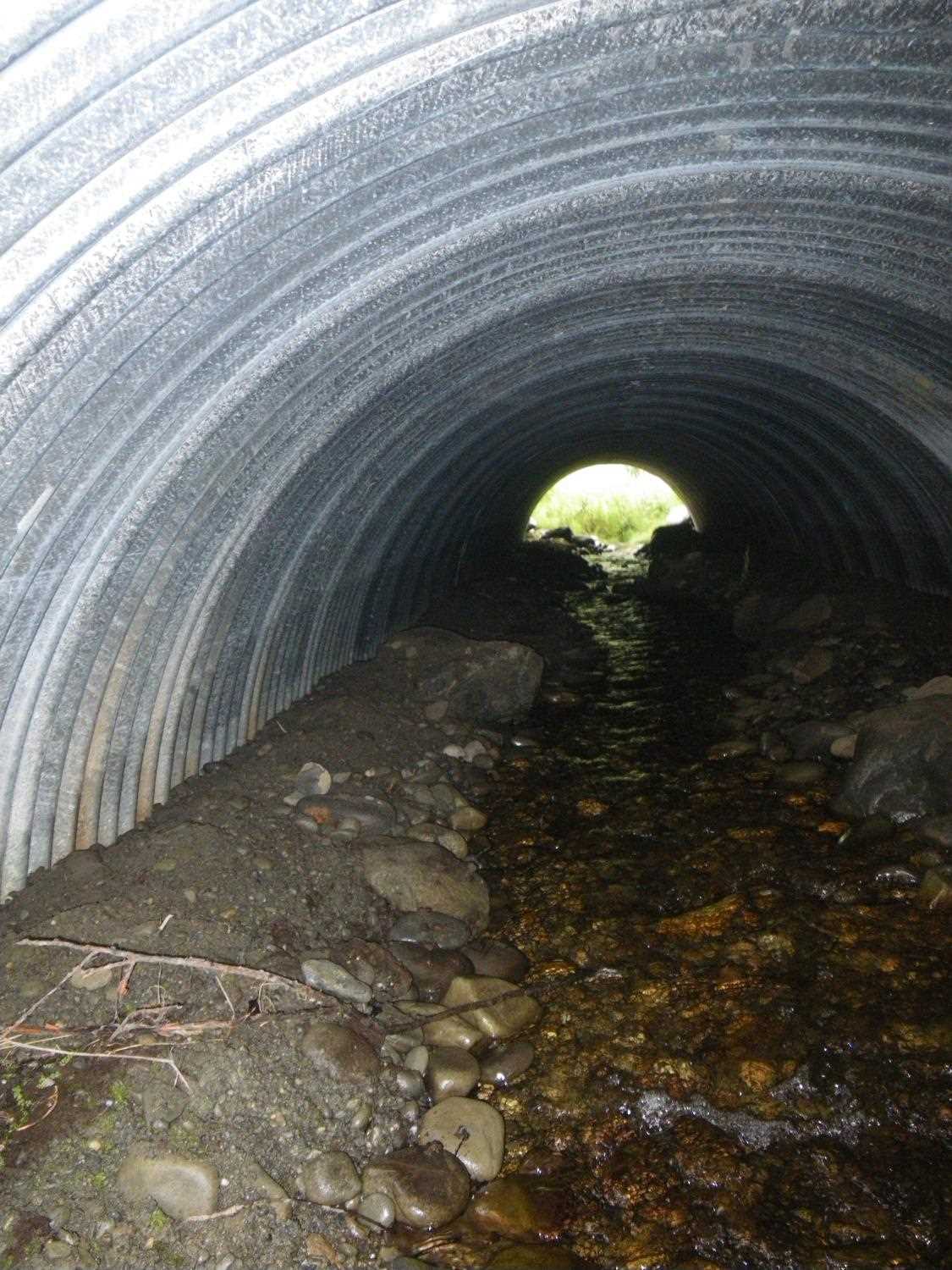
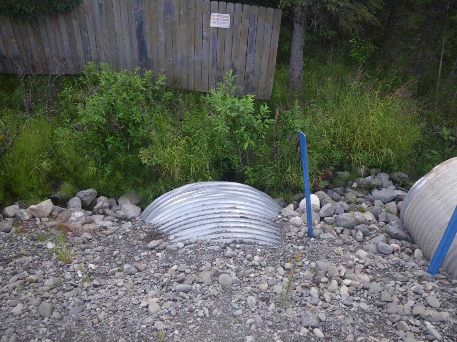
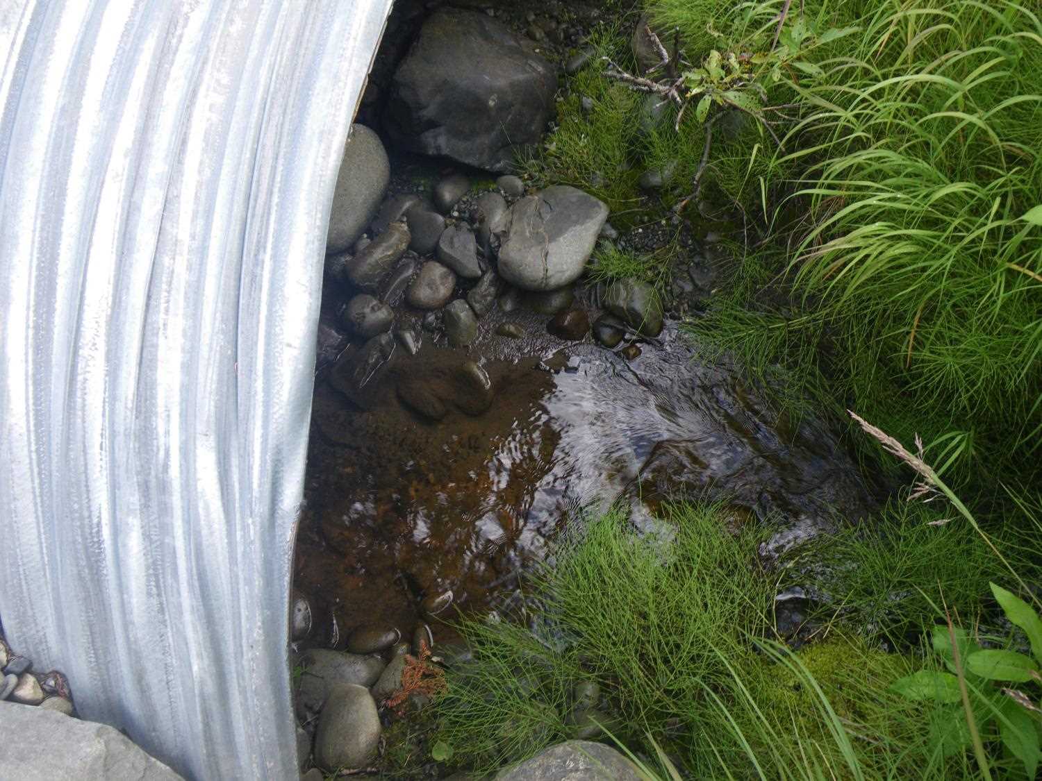
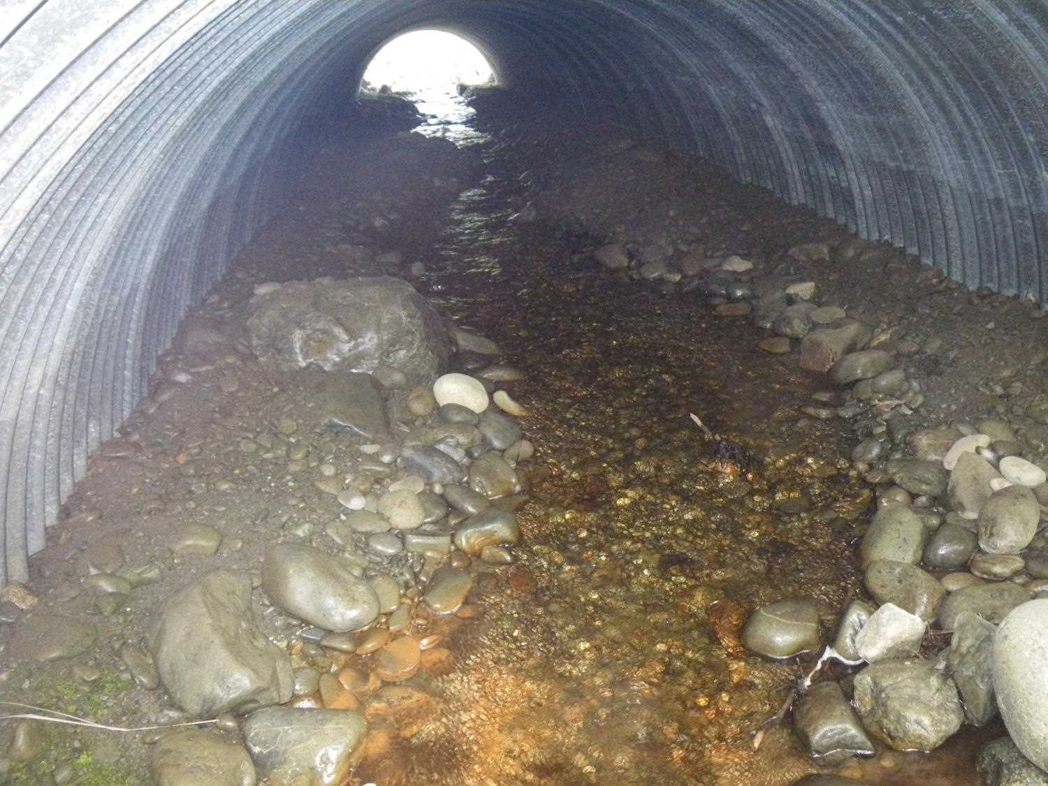
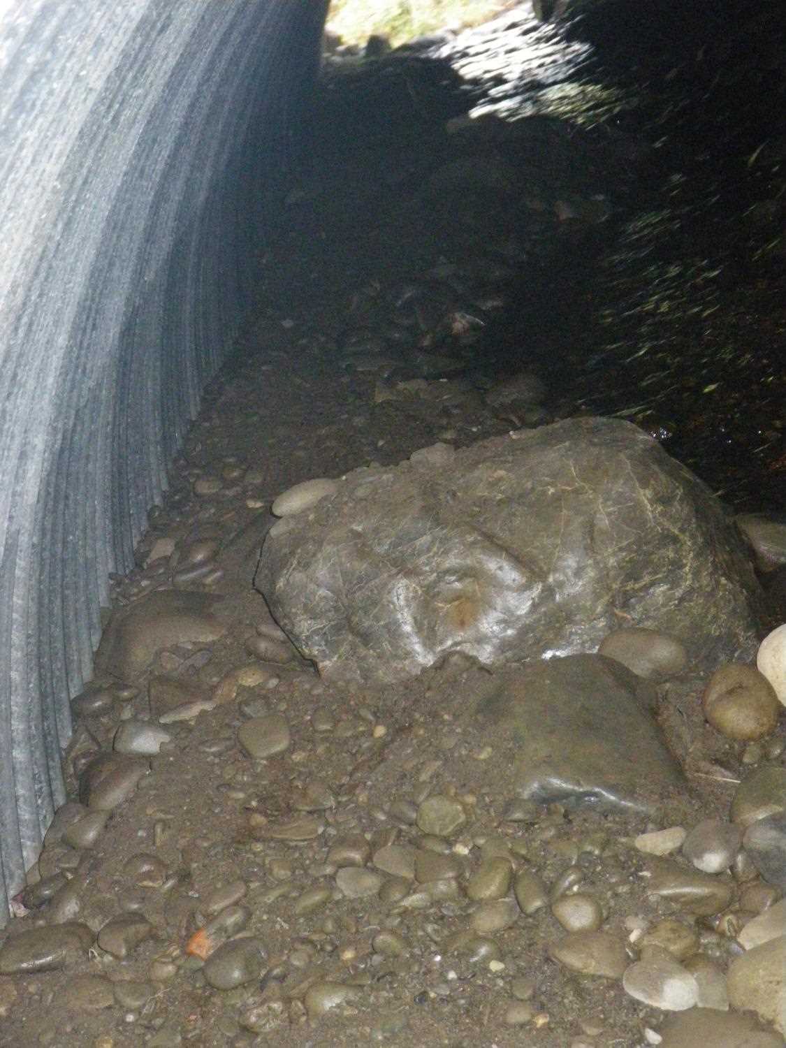
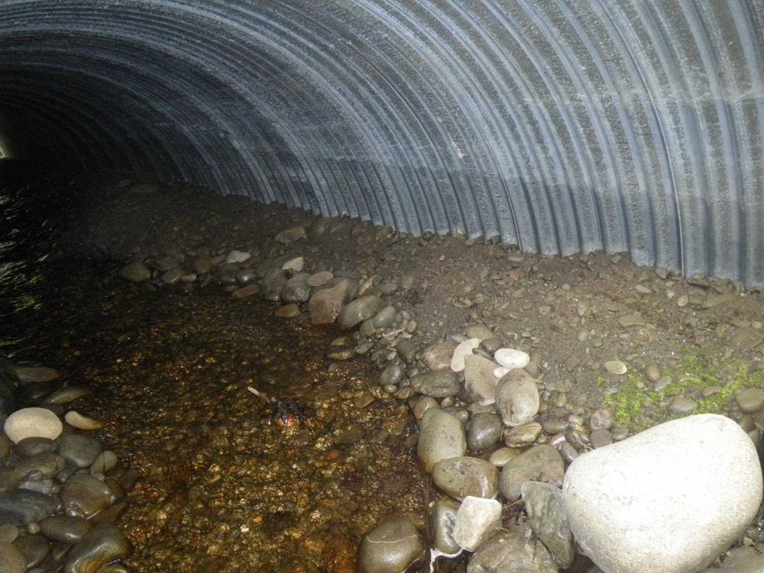
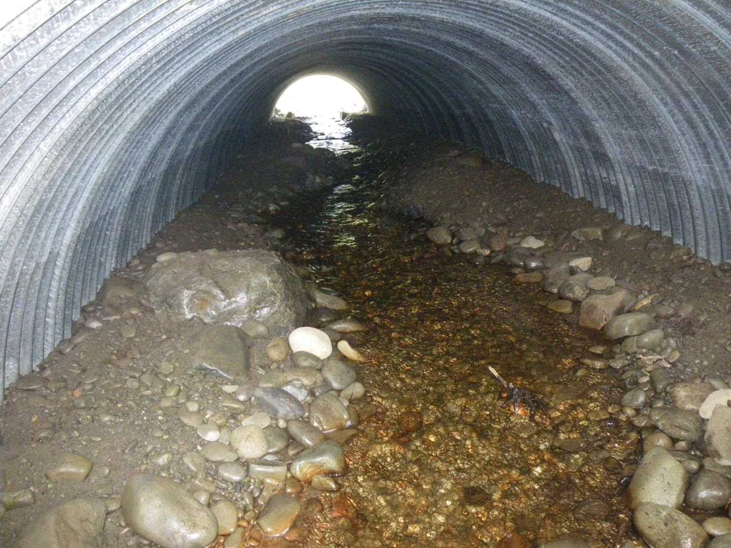
Comments: Replaced in 2009 with bottomless arch stream simulation culvert.
Culvert Measurements
| ID: 1 | Structure Type: Open-bottom arch (Corrugated steel) | Fish Passage Rating: | |||||||||||||||||||||||||||||||||||||||||
|
|
|
|||||||||||||||||||||||||||||||||||||||||
Comments: Definitley an open bottom arch. |
|||||||||||||||||||||||||||||||||||||||||||
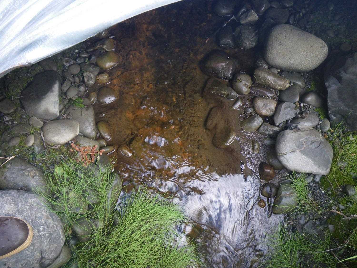
Stream Measurements
|
|
No stream width data available.
Elevations
No elevation data available.
Fish Sampling Efforts
No fish sampling occurred during this survey.
Fish Observations
No fish observations occurred during this survey.
Photos


Questions or comments about this report can be directed to dfg.dsf.webmaster@alaska.gov