Fish Passage Site 20300970
Coordinates (dec. deg.): 60.35083°, -151.21720°
Legal Description: S003N011W17
Region: South Central
Road Name: Sterling Highway
Datum: NAD83
Quad Name / ITM: Kenai B-4
AWC Stream #: 244-30-10050-2015
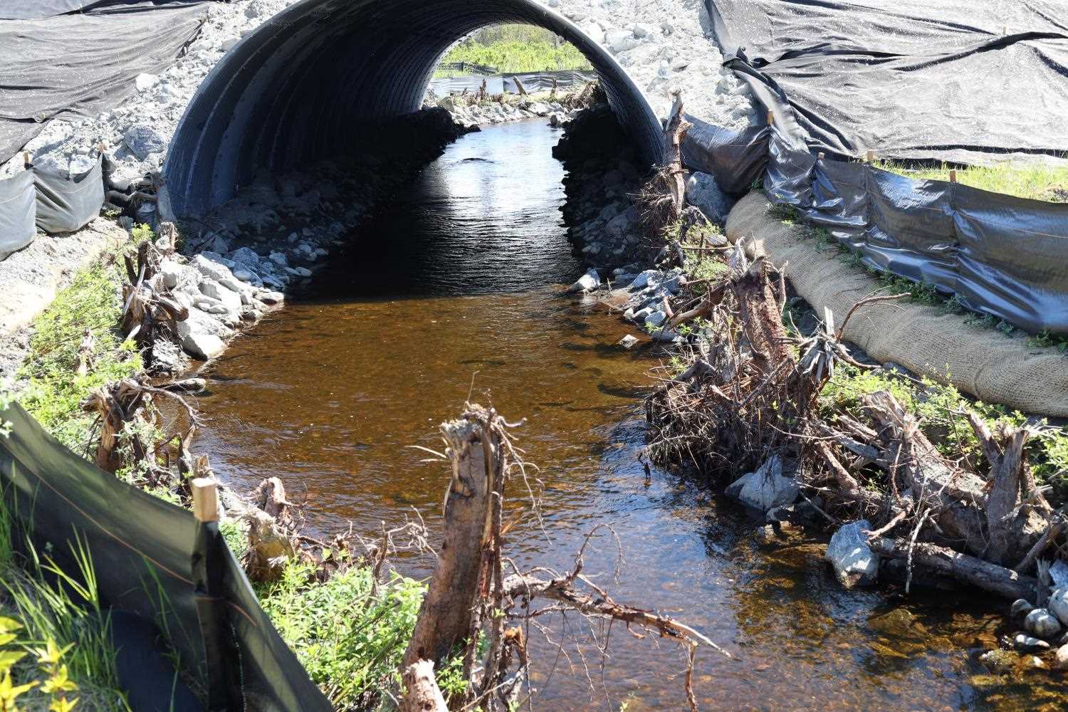
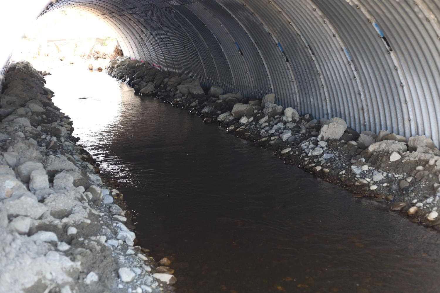
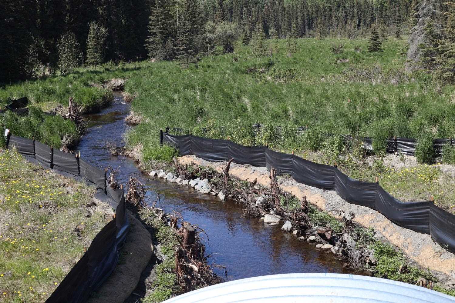
Stream Name: Coal Creek
Elevation:
Site Comments: None
arrow to the right of the survey date below to choose a different report for this site.
Survey UPD21-STR02
Project Supervisor: Kim Clark, ADFG
— Anchorage, AK
Observers: Gillian O'Doherty
Overall Fish Passage Rating:
Tidal:
Backwatered:
Step Pools:
Construction Year: 2019
Comments: Submitted by ADFG staff
Culvert Measurements
No measurement data available.
Stream Measurements
|
|
No stream width data available.
Elevations
No elevation data available.
Fish Sampling Efforts
No fish sampling occurred during this survey.
Fish Observations
No fish observations occurred during this survey.
Photos

Questions or comments about this report can be directed to dfg.dsf.webmaster@alaska.gov