Fish Passage Site 20300205
Coordinates (dec. deg.): 60.95693°, -149.11571°
Legal Description: S010N002E16
Region: South Central
Road Name: Alyeska View Avenue
Datum: NAD83
Quad Name / ITM: Seward D-6
AWC Stream #:
Stream Name: Glacier Creek tributary
Elevation:
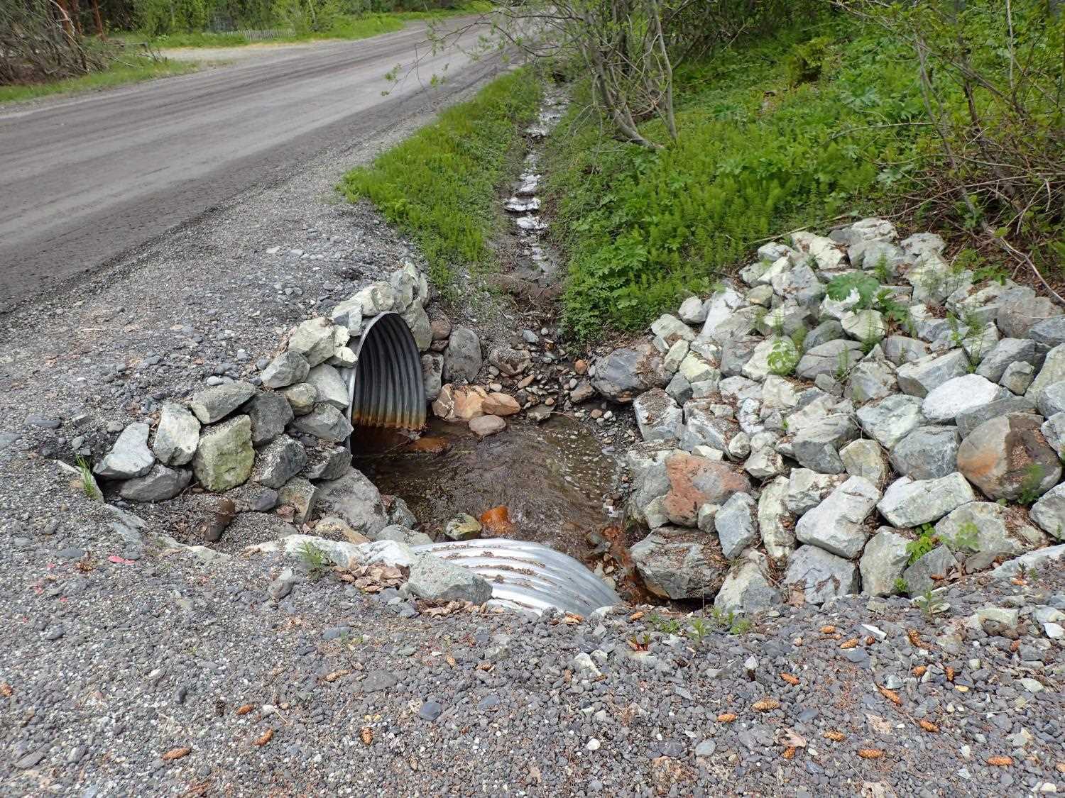
Site Comments: Driveway off of Alyeska View Avenue. Just upstream of 20300204 and downstream of 20300206.
arrow to the right of the survey date below to choose a different report for this site.
Survey UPD21-ALY05
Project Supervisor: Kim Clark, ADFG
— Anchorage, AK
Observers: Kim Clark, Michael Mazzacavallo
Overall Fish Passage Rating:
Tidal: No
Backwatered: No
Step Pools: No
Construction Year: 2019
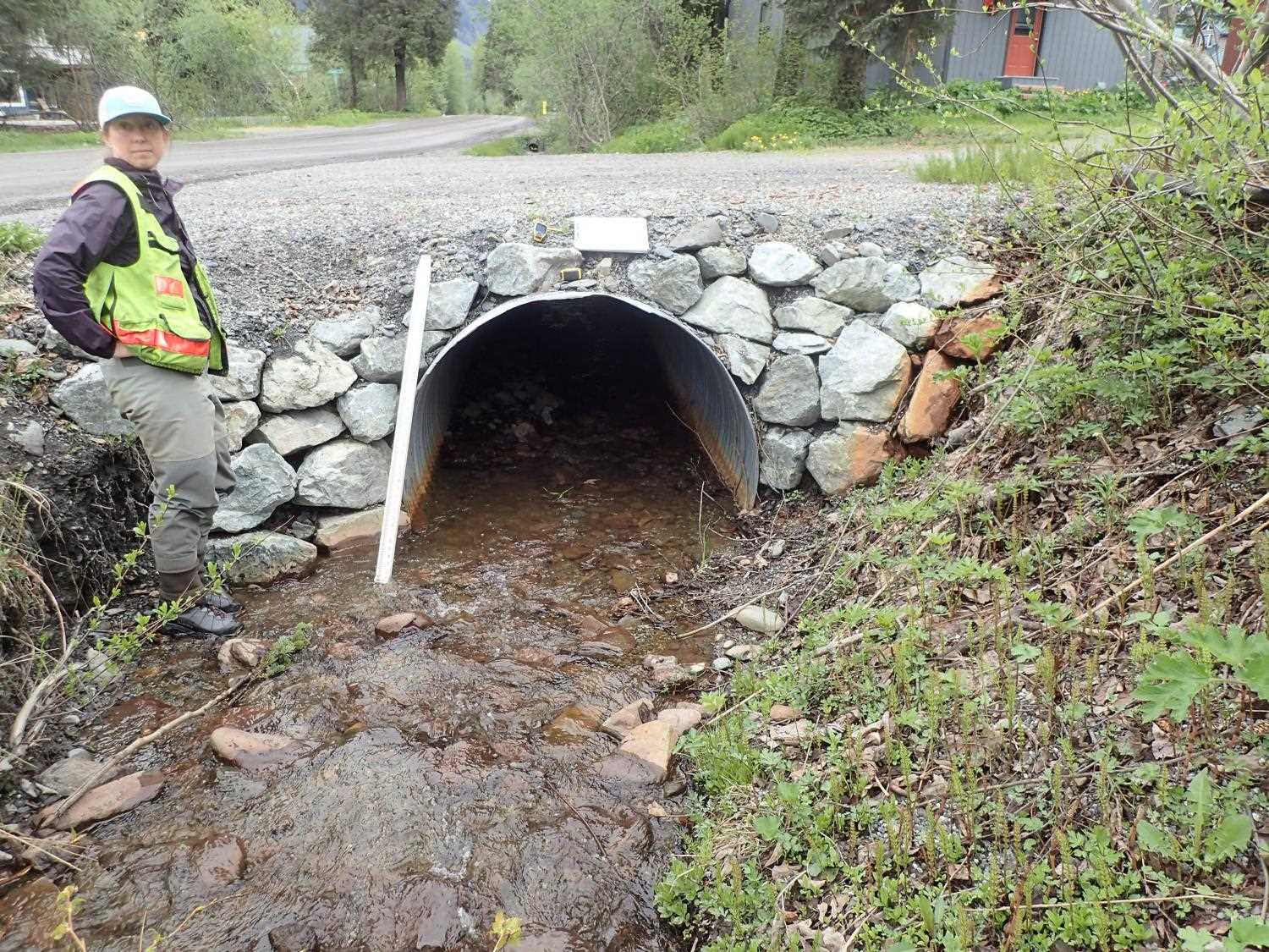
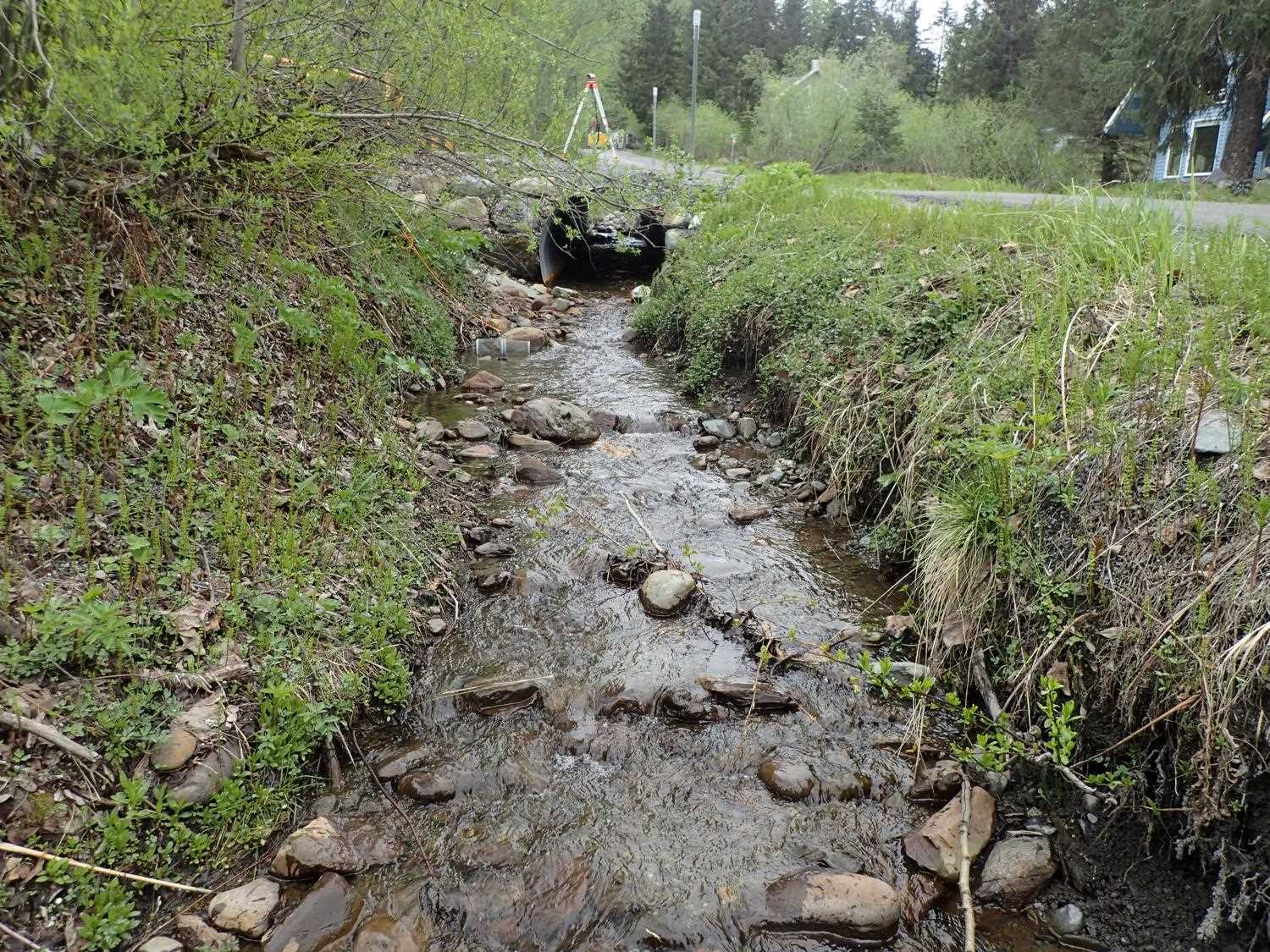
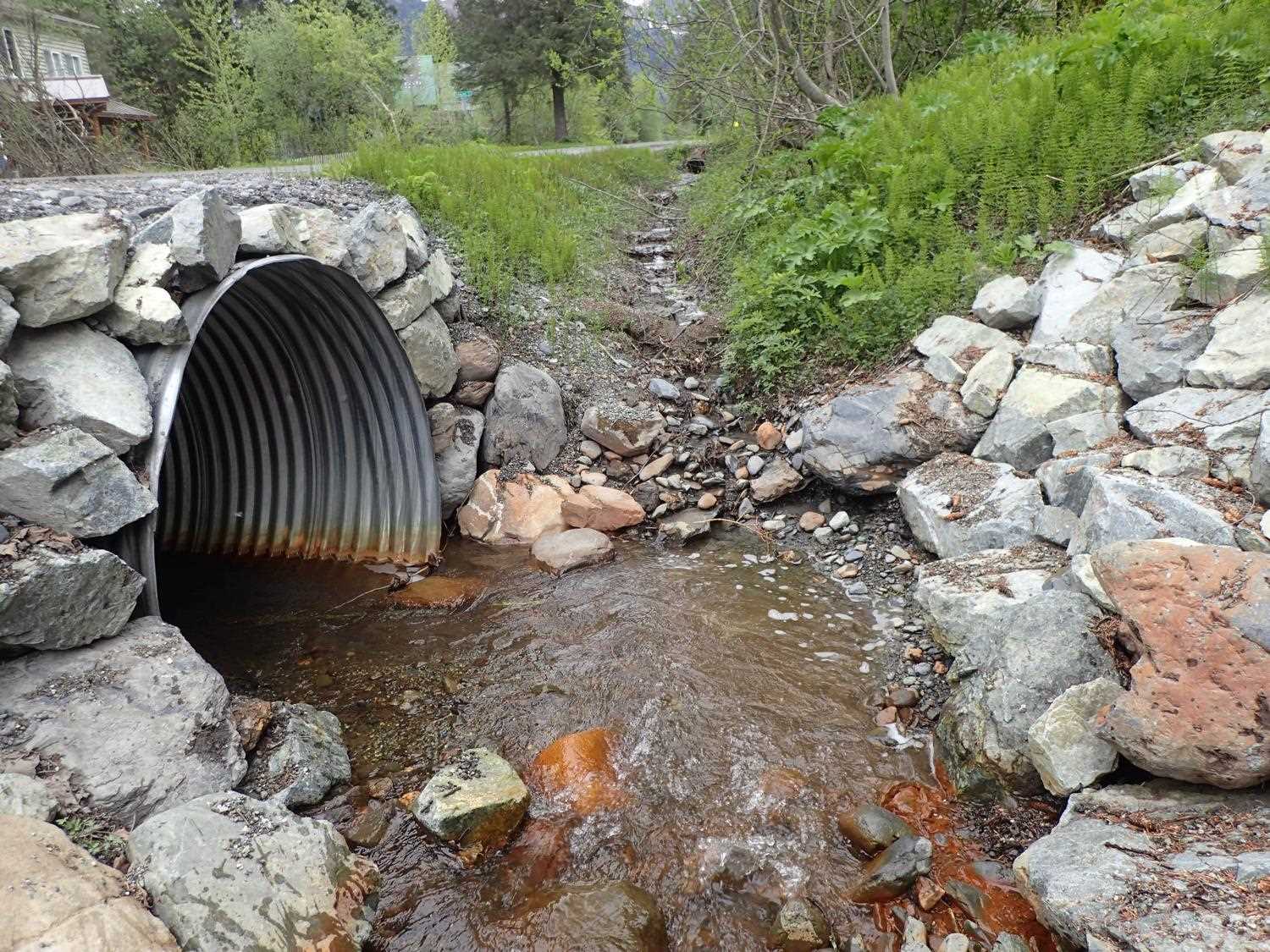
Comments: Stream is ditched, downstream banks are rip rapped. Upstream banks show some erosion. Poor alignment based on 90 degree angle directly downstream.
Culvert Measurements
| ID: 1 | Structure Type: Circular pipe (Corrugated steel) | Fish Passage Rating: | ||||||||||||||||||||||||||||||||||||||||||
|
|
|
||||||||||||||||||||||||||||||||||||||||||
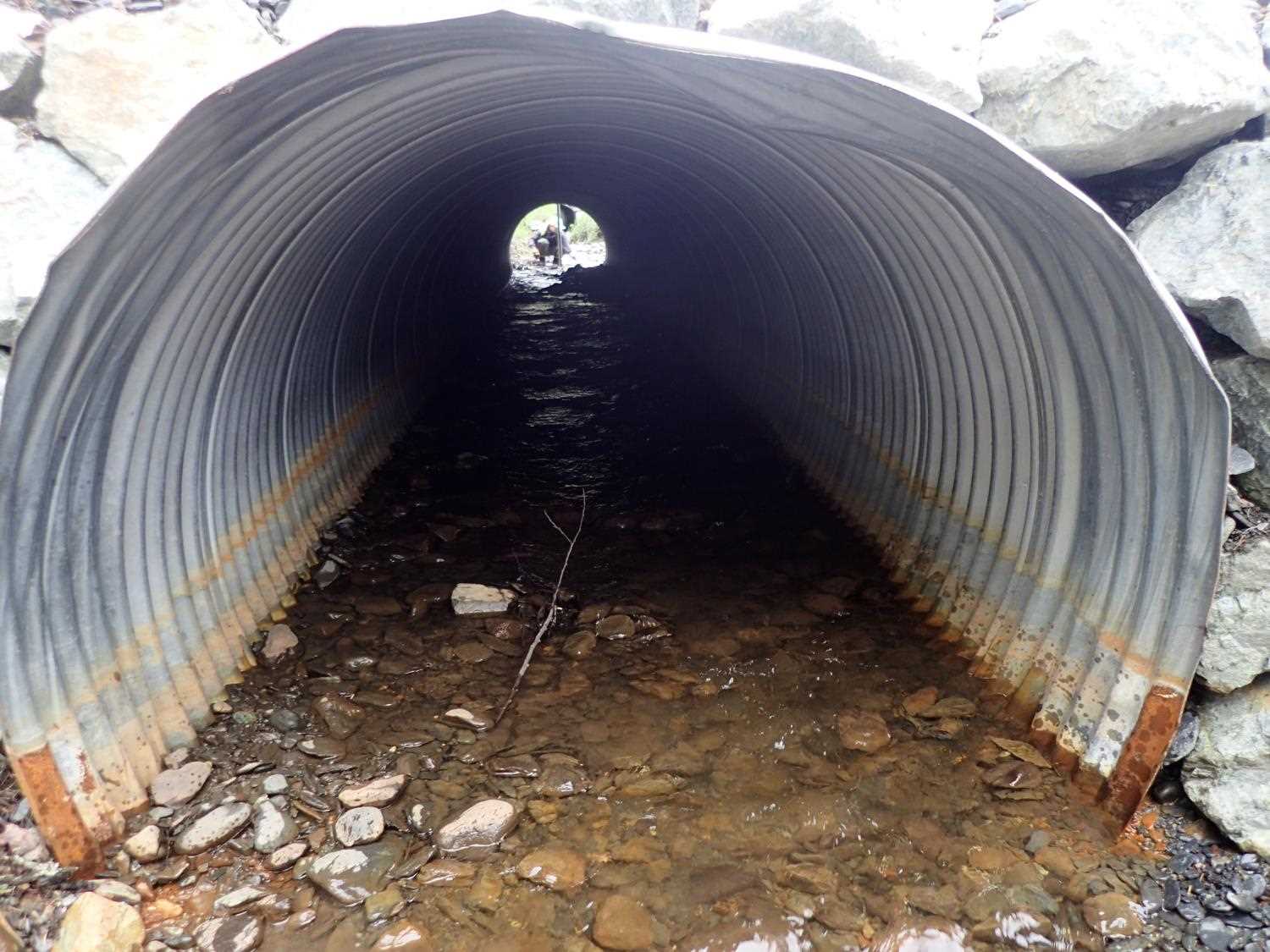
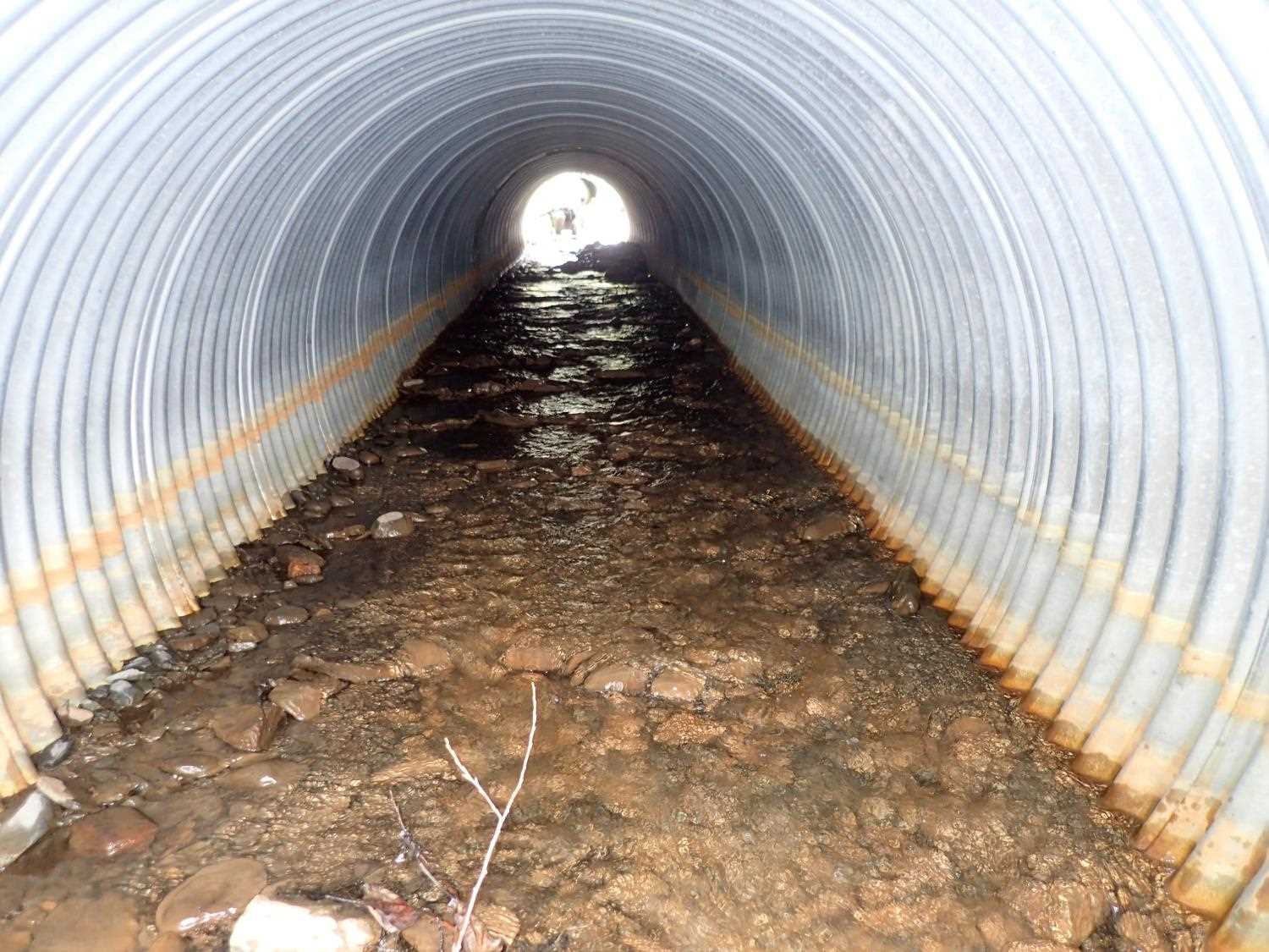
Comments: Pipe gradient is designed at 2.02 %. Designs are for 60" circular pipe. |
||||||||||||||||||||||||||||||||||||||||||||
Stream Measurements
|
|
No stream width data available.
Elevations
| Locator ID | Culvert Number |
River Distance (ft)1 |
Distance From Crossing (ft)2 |
Relative Elevation (ft) |
|---|---|---|---|---|
| D/S Thalweg | 0.00 | 94.22 | ||
| D/S Water Surface Elev | 0.00 | 94.71 | ||
| D/S Thalweg | 5.50 | 94.83 | ||
| D/S Water Surface Elev | 5.50 | 95.12 | ||
| D/S Water Surface Elev | 9.00 | 95.27 | ||
| Outlet Invert | 9.00 | 95.06 | ||
| Outlet Culvert Top | 9.00 | 98.73 | ||
| Inlet Culvert Top | 57.60 | 100.01 | ||
| Inlet Culvert Invert | 57.60 | 96.53 | ||
| U/S Water Surface Elev | 57.60 | 96.70 | ||
| U/S Grade Ctrl (Thalweg) | 75.60 | 97.28 | ||
| U/S Water Surface Elev | 75.60 | 97.65 |
Notes:
- River distance is measured continuously throughout the survey reach along the thalweg of the stream.
- Measured from each end of the crossing along the thalweg of the stream.
Fish Sampling Efforts
| Gear Type: Minnow Trap (A) | Trap Duration(h): 3.4333334 | |
| Channel Type: Main Channel (>50% of water flow) | ||
| Comments: stream was ditched. 5 traps were set to survey 3 culverts. | ||
Fish Observations
| Species: juvenile Dolly Varden | Life History: Resident | ||
| Total Fish Observed: 5 | Fish Measured: 5 | Fork Lengths (mm) Min: 50 Max: 103 Mean: 86 | |
| Collected/Observed by Gear Type: At Site Minnow Trap (2) | |||
Photos


Questions or comments about this report can be directed to dfg.dsf.webmaster@alaska.gov