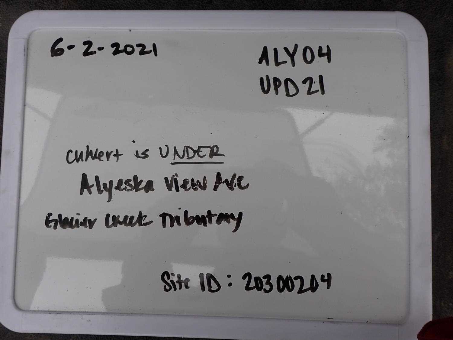
Fish Passage Site 20300204
Coordinates (dec. deg.): 60.95722°, -149.11594°
Legal Description: S010N002E16
Region: South Central
Road Name: Alyeska Avenue
Datum: NAD83
Quad Name / ITM: Seward D-6
AWC Stream #:
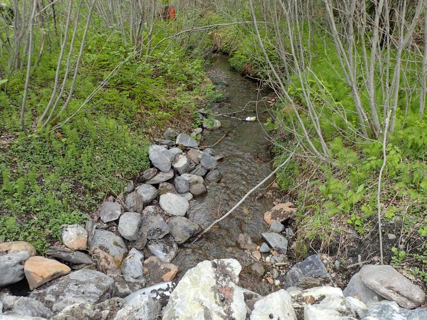
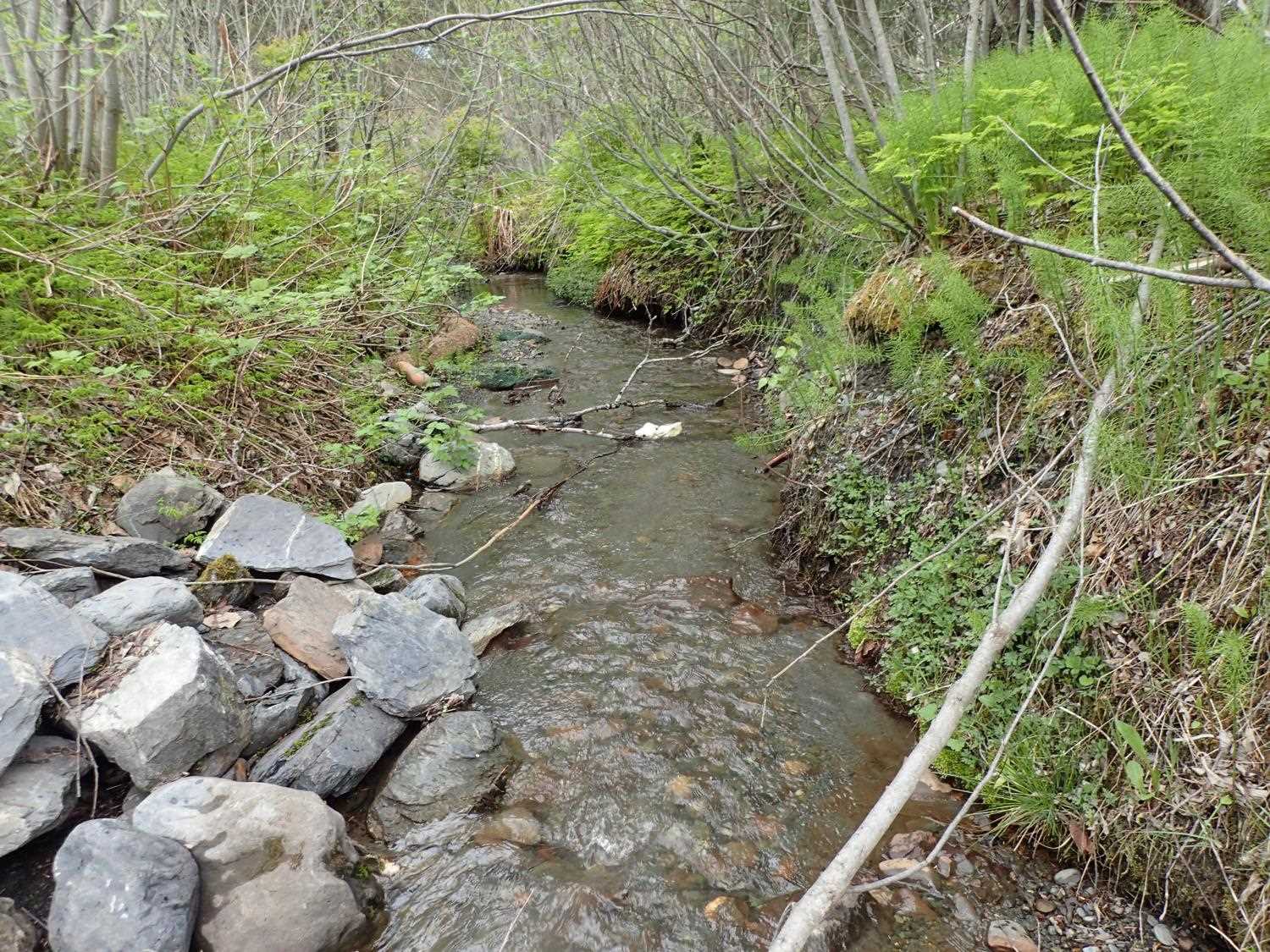
Stream Name: Glacier Creek tributary
Elevation:
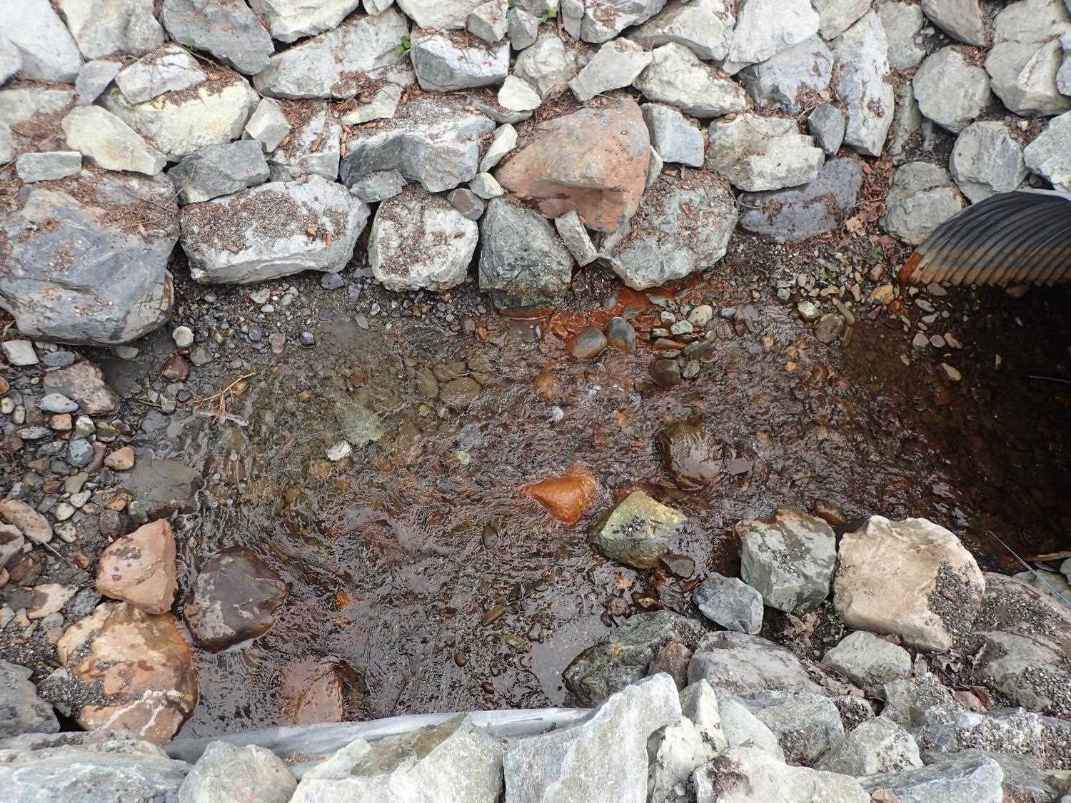
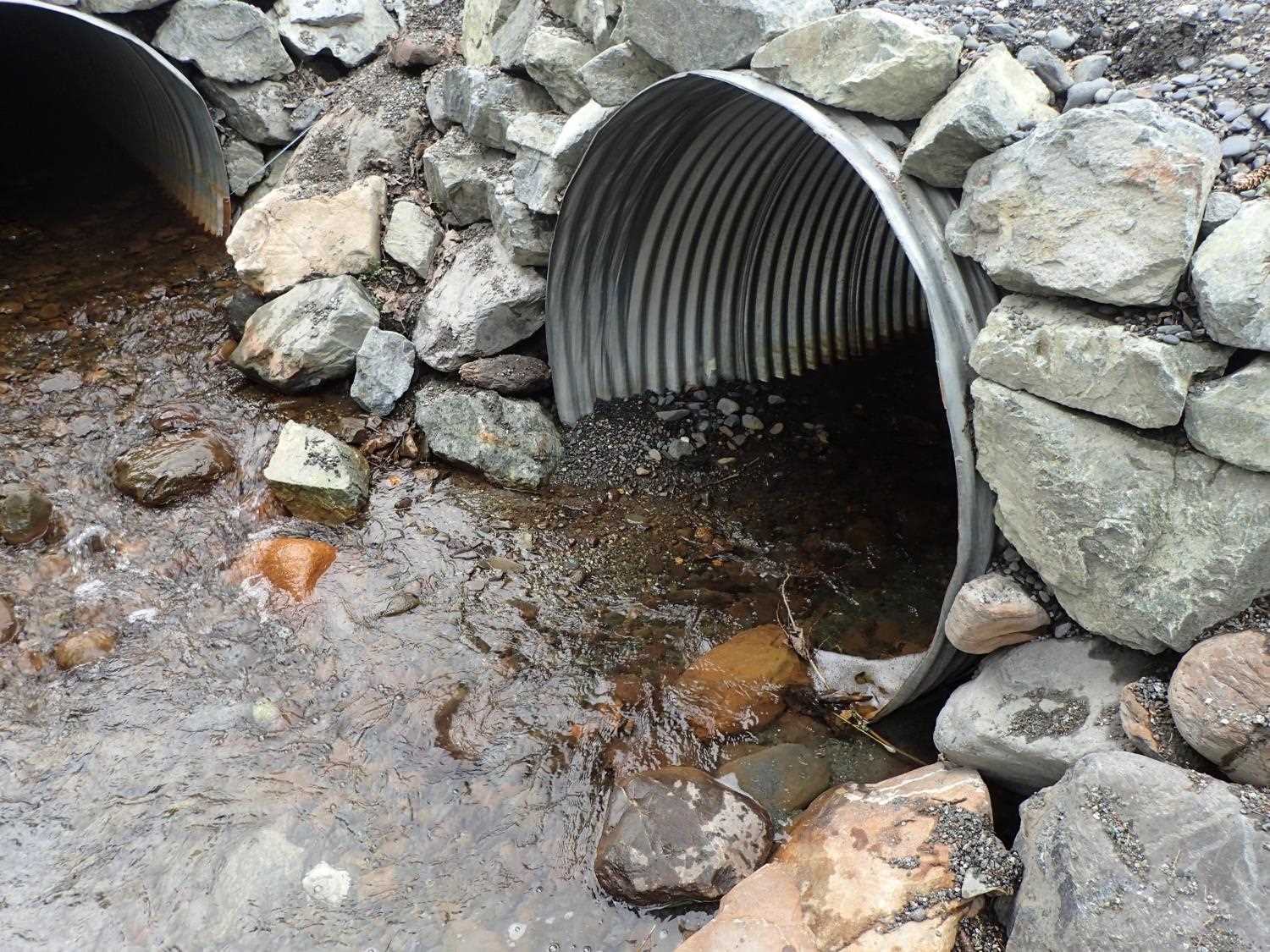
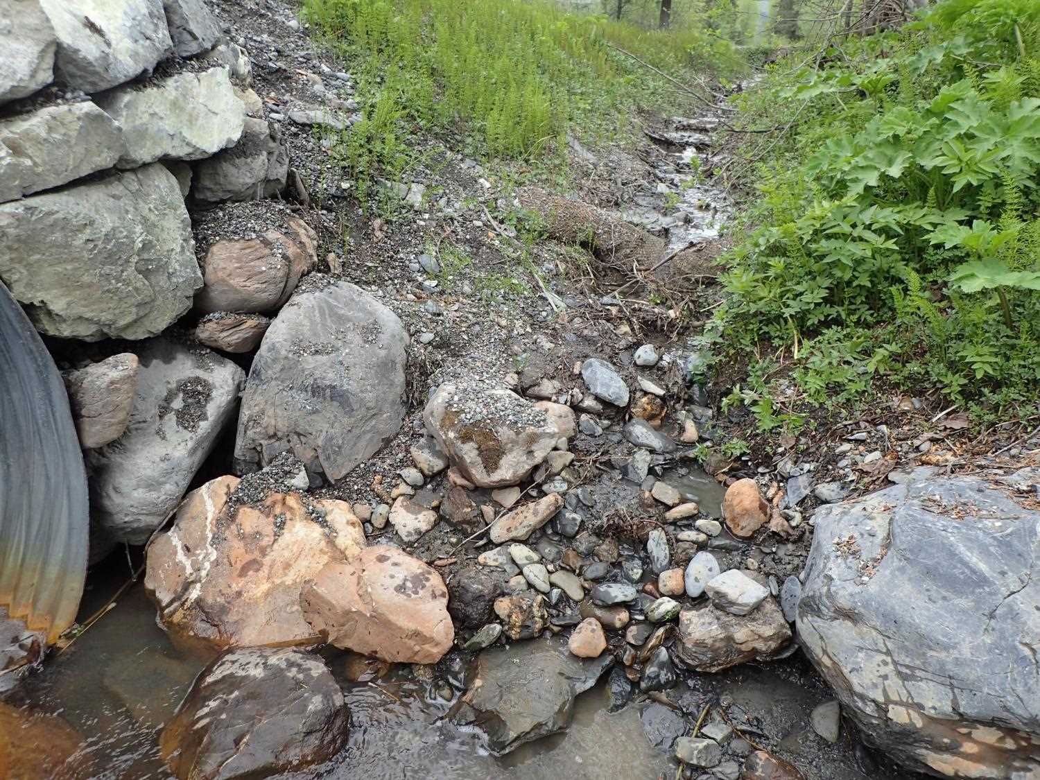
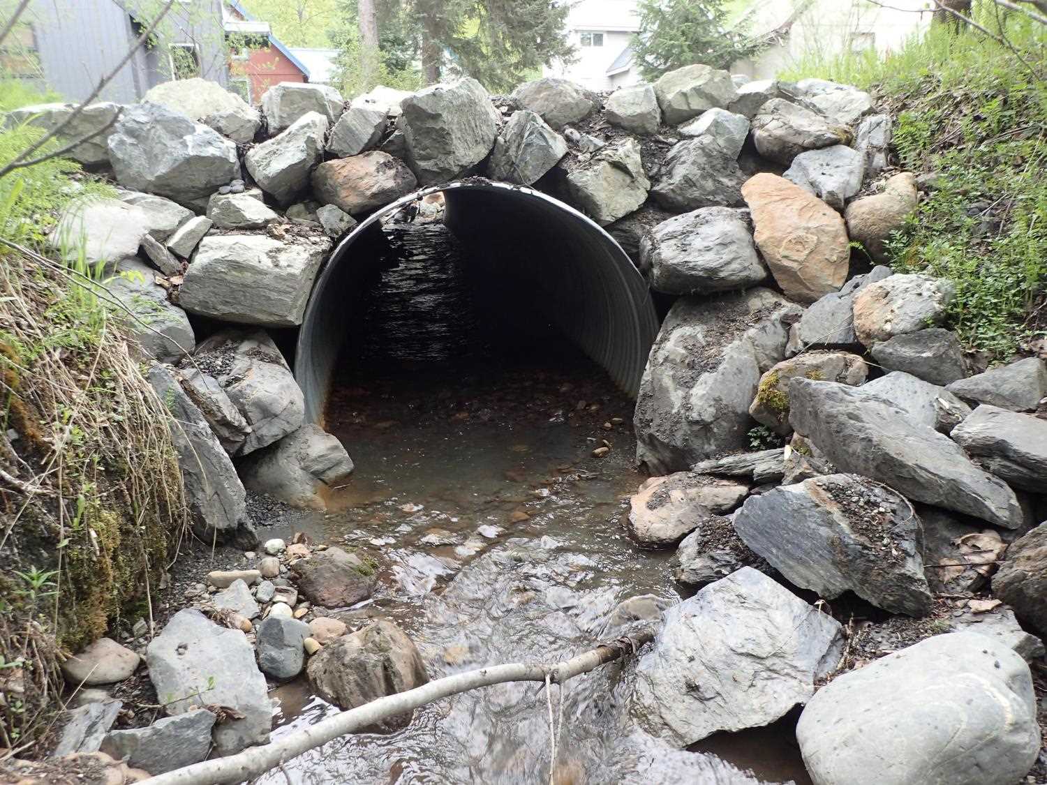
Site Comments: Site is downstream of ALY05 and ALY06. All three culverts are in immediate proximity of each other.
arrow to the right of the survey date below to choose a different report for this site.
Survey UPD21-ALY04
Project Supervisor: Kim Clark, ADFG
— Anchorage, AK
Observers: Kim Clark, Michael Mazzacavallo
Overall Fish Passage Rating:
Tidal: No
Backwatered: No
Step Pools: No
Construction Year: 2020
Site Observations:
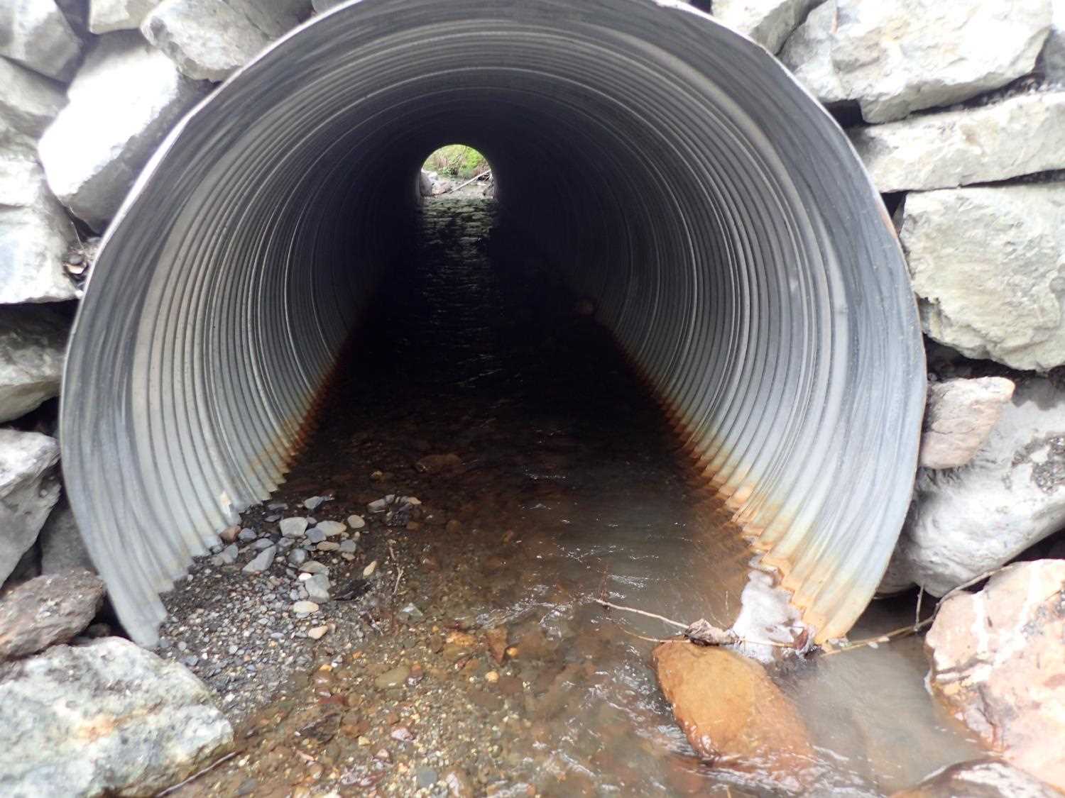
- Culvert is poorly aligned
Comments: Upstream widths were not taken during survey because it has a double confluence and culvert in general vicinity. Inlet has 2 tributaries from opposing 90 degree angles. Plastic wrapped wattles left in channel ~28 D/S
Culvert Measurements
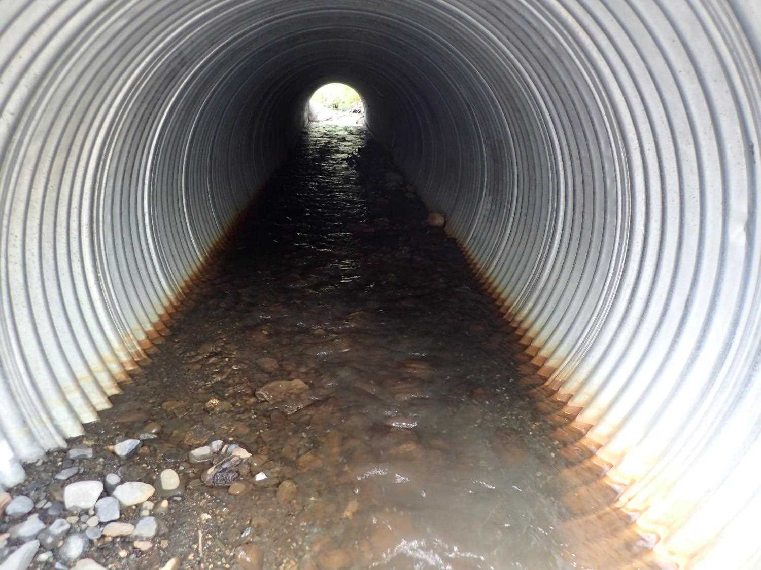
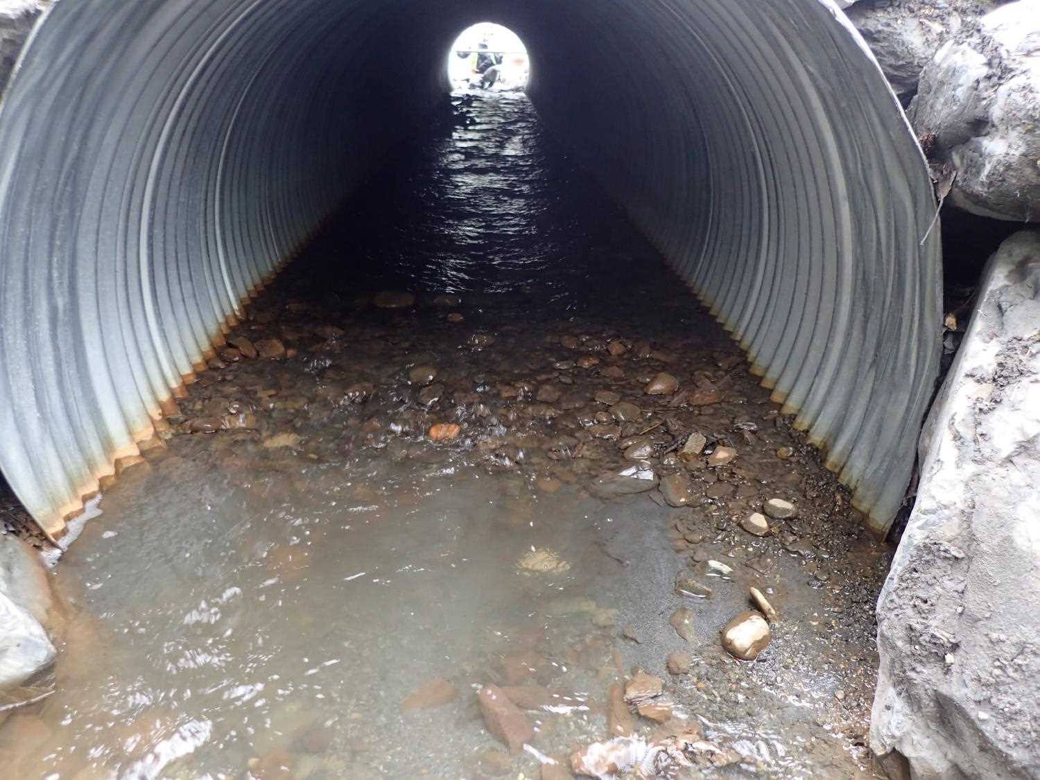
| ID: 1 | Structure Type: Circular pipe (Corrugated steel) | Fish Passage Rating: | |||||||||||||||||||||||||||||||||||||||||
|
|
|
|||||||||||||||||||||||||||||||||||||||||
Culvert Observations:
|
|||||||||||||||||||||||||||||||||||||||||||
Stream Measurements
|
|
| Stream Width Type | Distance From Crossing (ft) |
Stream Width (ft) |
|---|---|---|
| Downstream ordinary high water | 17.0 | 5.55 |
| Downstream ordinary high water | 26.0 | 7.60 |
| Downstream ordinary high water | 32.0 | 4.56 |
Elevations
| Locator ID | Culvert Number |
River Distance (ft)1 |
Distance From Crossing (ft)2 |
Relative Elevation (ft) |
|---|---|---|---|---|
| Road Elev | 99.97 | |||
| Outlet Invert | 0.00 | 92.95 | ||
| D/S Water Surface Elev | 0.00 | 93.50 | ||
| Outlet Culvert Top | 0.00 | 97.00 | ||
| Inlet Culvert Top | 50.90 | 98.67 | ||
| U/S Thalweg (Tailcrest) | 50.90 | 99.97 | ||
| Inlet Culvert Invert | 50.90 | 94.29 |
Notes:
- River distance is measured continuously throughout the survey reach along the thalweg of the stream.
- Measured from each end of the crossing along the thalweg of the stream.
Fish Sampling Efforts
| Gear Type: Minnow Trap (A) | Trap Duration(h): 3.1 | |
| Channel Type: Main Channel (>50% of water flow) | ||
| Comments: stream was ditched. 5 traps were set to survey 3 culverts. | ||
Fish Observations
| Species: juvenile Dolly Varden | Life History: Resident | ||
| Total Fish Observed: 5 | Fish Measured: 5 | Fork Lengths (mm) Min: 55 Max: 103 Mean: 87 | |
| Collected/Observed by Gear Type: At Site Minnow Trap (1) | |||
Photos

Questions or comments about this report can be directed to dfg.dsf.webmaster@alaska.gov