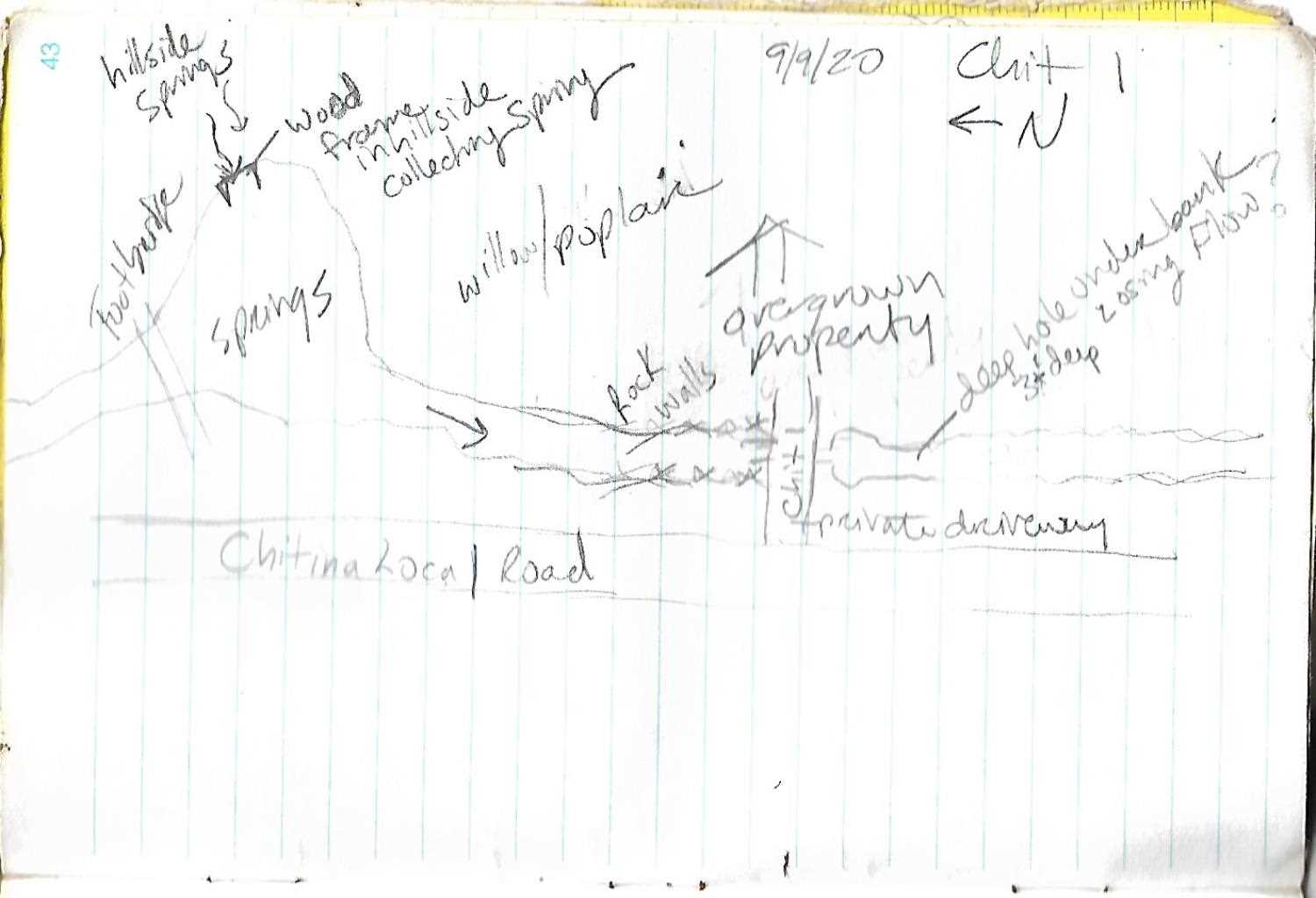
Fish Passage Site 20103962
Coordinates (dec. deg.): 61.57909°, -144.43939°
Legal Description: C003S005E26
Region: South Central
Road Name: Driveway
Datum: NAD83
Quad Name / ITM: Valdez C-2
AWC Stream #:
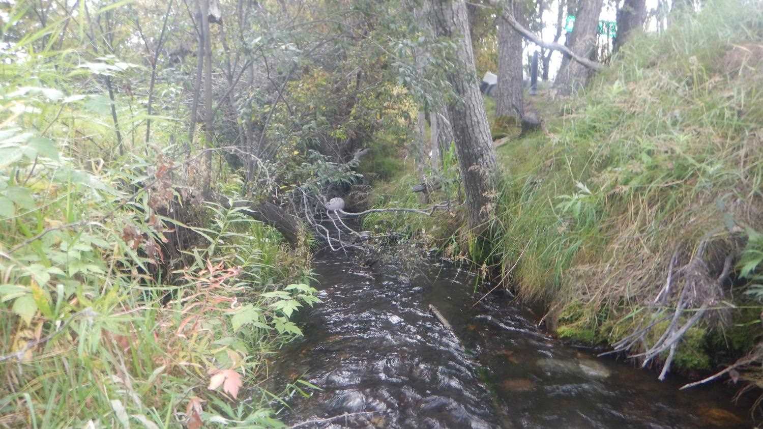
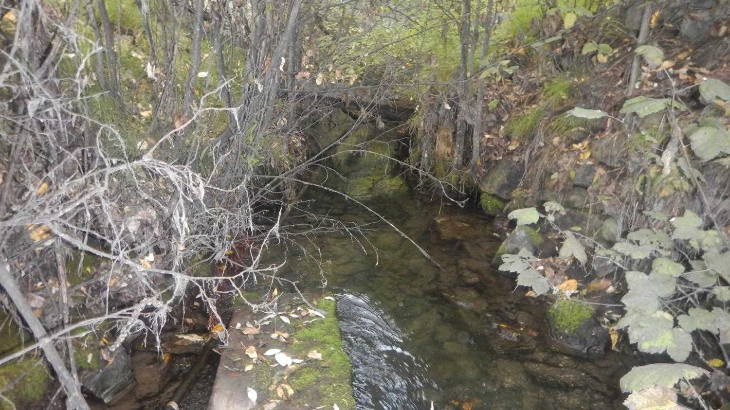
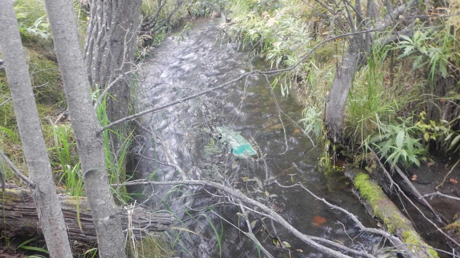
Stream Name: Chitna Creek
Elevation:
Site Comments: None
Survey UPD21-CHI01
Project Supervisor: Kim Clark, ADFG
— Anchorage, AK
Observers: Andrew Kastning, Nicole Farnham
Overall Fish Passage Rating:
Tidal: No
Backwatered: No
Step Pools: No
Construction Year:
Site Observations:
- Constriction ratio gray
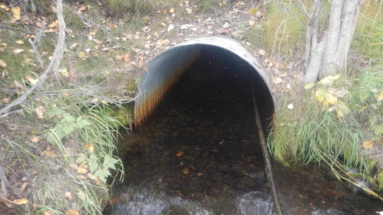
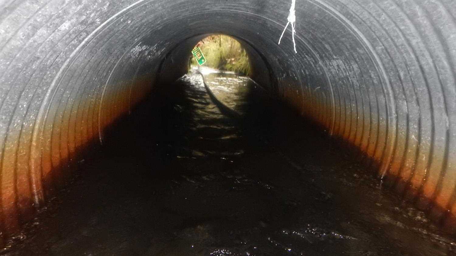
- Culvert is too short
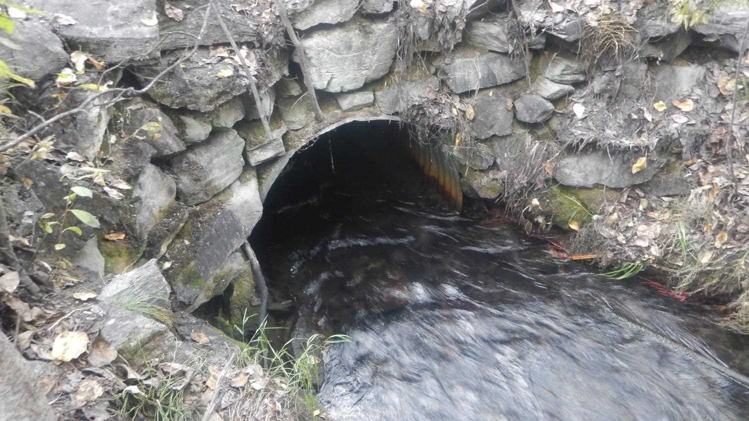
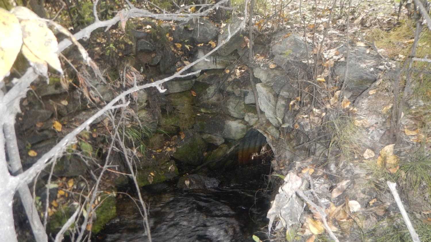
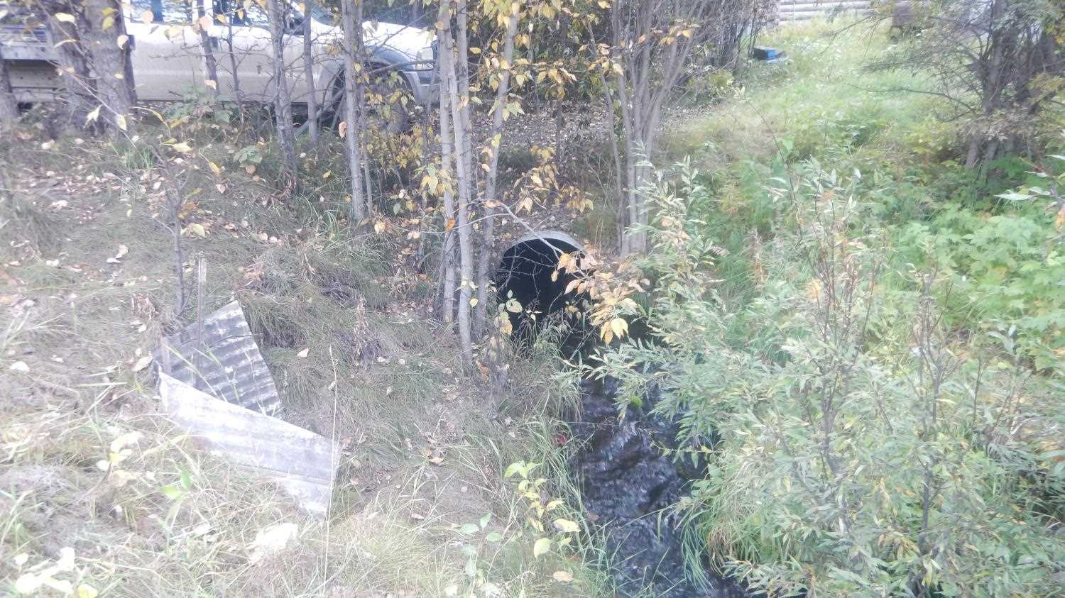
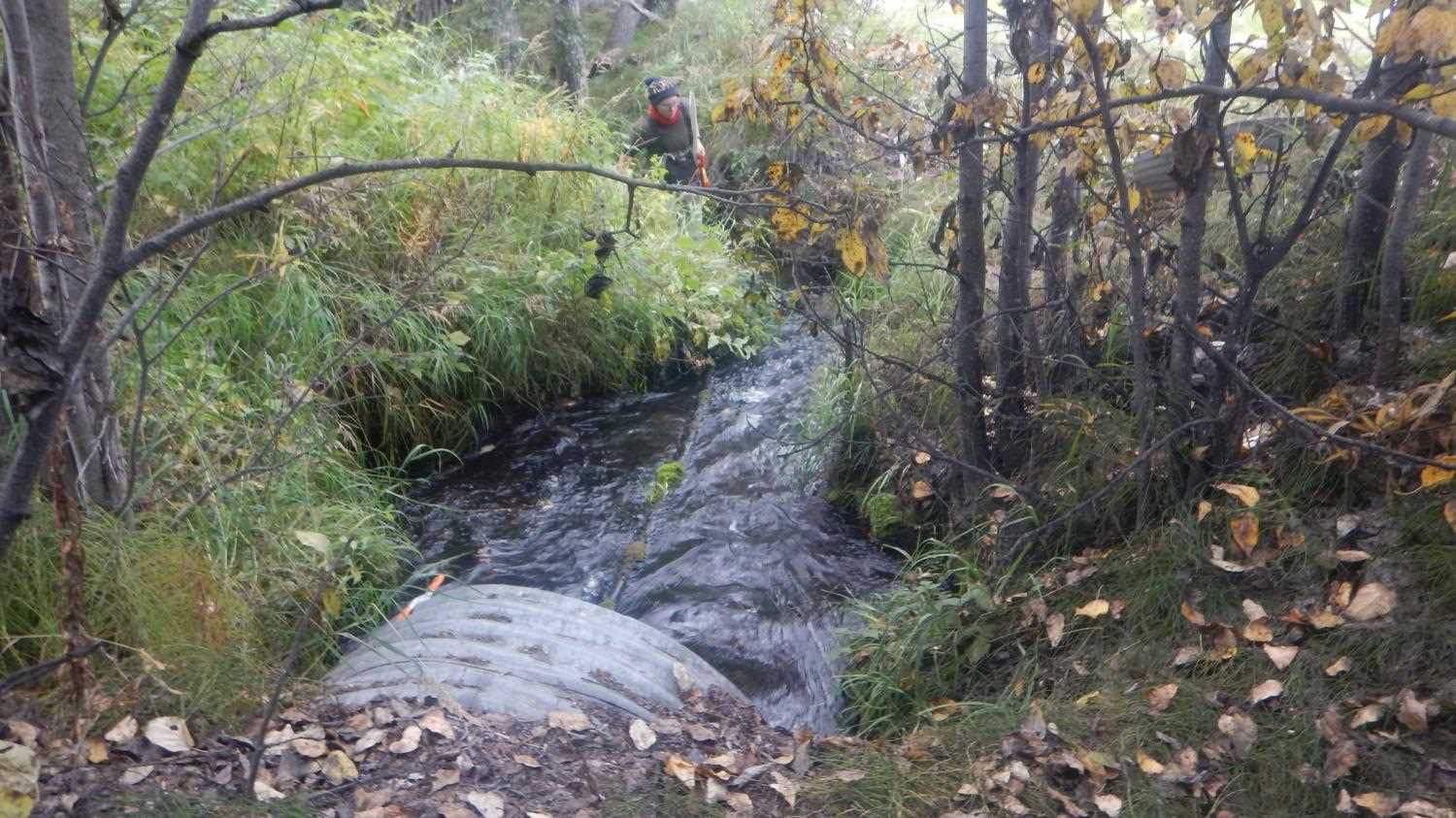
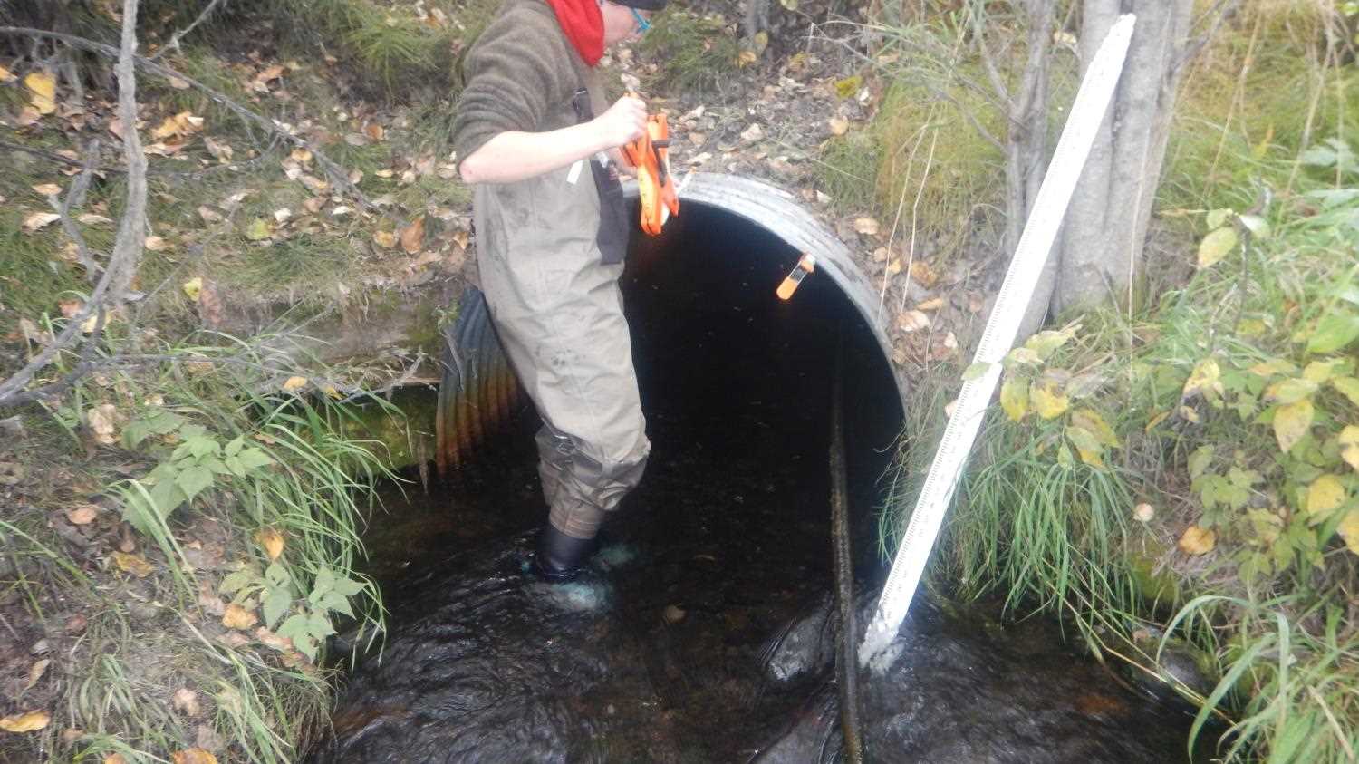
Comments: Submitted by Kirsti Jurica Copper River Watershed Project. Channel bed through crossing (substrate inside culvert), rockwall streambank on inlet side. Inlet slightly perched.
Culvert Measurements
| ID: 1 | Structure Type: Circular pipe (Corrugated steel) | Fish Passage Rating: | |||||||||||||||||||||||||||||||||||||||||
|
|
|
|||||||||||||||||||||||||||||||||||||||||
Culvert Observations:
|
|||||||||||||||||||||||||||||||||||||||||||
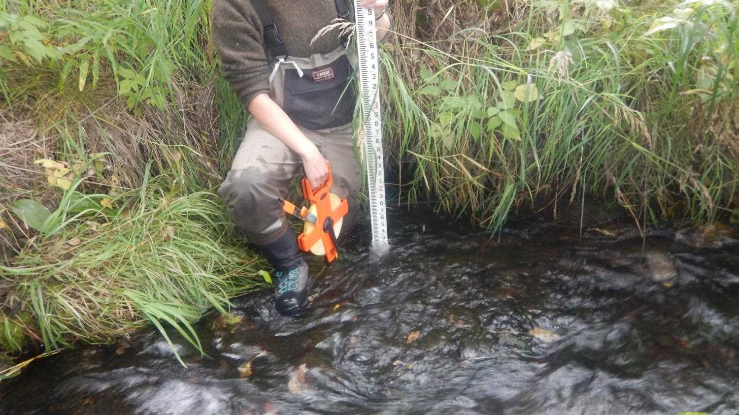
Stream Measurements
|
|
| Stream Width Type | Distance From Crossing (ft) |
Stream Width (ft) |
|---|---|---|
| Upstream ordinary high water | 7.30 | |
| Upstream ordinary high water | 7.50 | |
| Upstream ordinary high water | 6.50 |
Elevations
| Locator ID | Culvert Number |
River Distance (ft)1 |
Distance From Crossing (ft)2 |
Relative Elevation (ft) |
|---|---|---|---|---|
| Road Elev (Road surface) | 579.97 | |||
| U/S Water Surface Elev | 0.00 | 575.52 | ||
| U/S Thalweg | 0.00 | 574.17 | ||
| Inlet Culvert Invert | 12.00 | 574.34 | ||
| U/S Water Surface Elev | 12.00 | 575.39 | ||
| Inlet Culvert Top | 12.00 | 577.95 | ||
| Outlet Culvert Top (Culv length is 20.43ft) | 32.00 | 577.96 | ||
| D/S Water Surface Elev | 32.00 | 575.39 | ||
| Outlet Invert | 32.00 | 574.52 | ||
| D/S Thalweg | 48.00 | 574.70 | ||
| D/S Water Surface Elev | 48.00 | 574.96 | ||
| D/S Thalweg | 58.00 | 574.14 | ||
| D/S Water Surface Elev | 58.00 | 574.91 |
Notes:
- River distance is measured continuously throughout the survey reach along the thalweg of the stream.
- Measured from each end of the crossing along the thalweg of the stream.
Fish Sampling Efforts
No fish sampling occurred during this survey.
Fish Observations
No fish observations occurred during this survey.
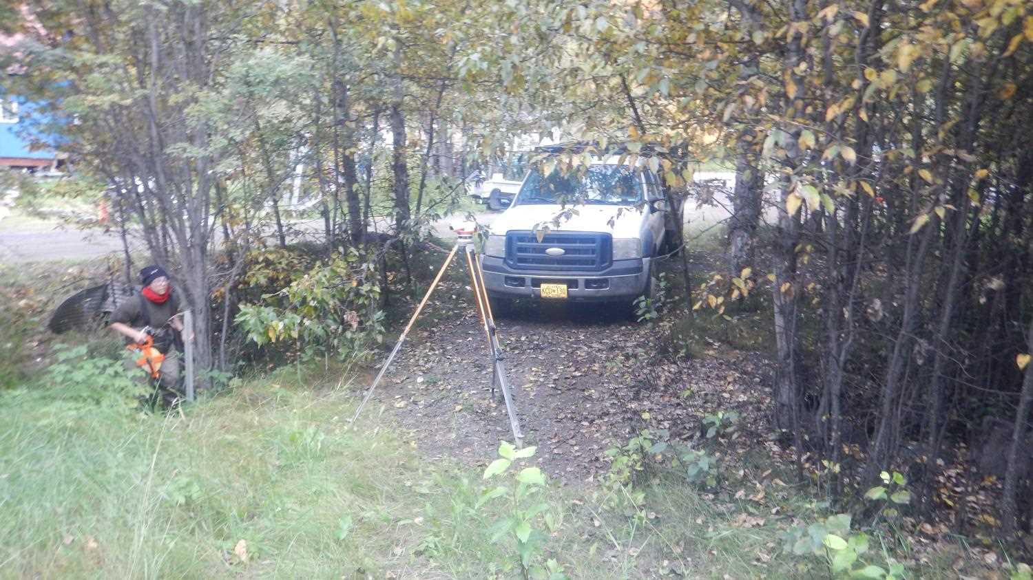
Photos
Questions or comments about this report can be directed to dfg.dsf.webmaster@alaska.gov