Fish Passage Site 20103959
Coordinates (dec. deg.): 62.45800°, -145.53015°
Legal Description: C008N002W23
Region: South Central
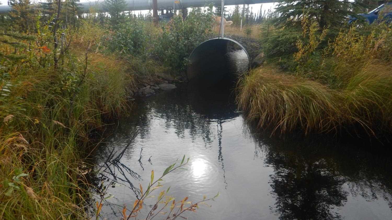
Road Name: Pipeline Access Road
Datum:
Quad Name / ITM: Gulkana B-4
AWC Stream #:
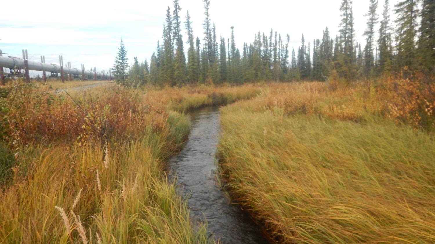
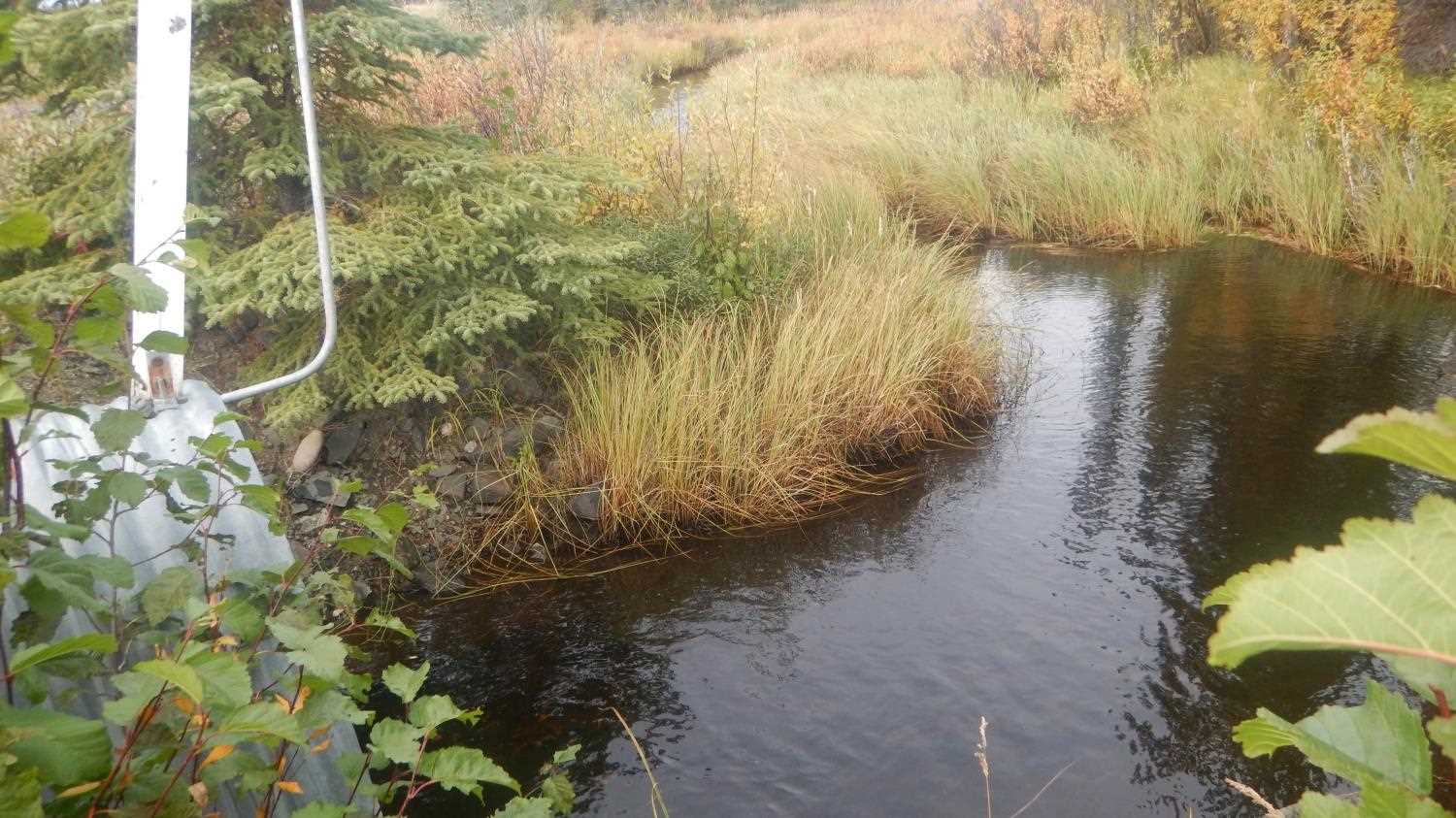
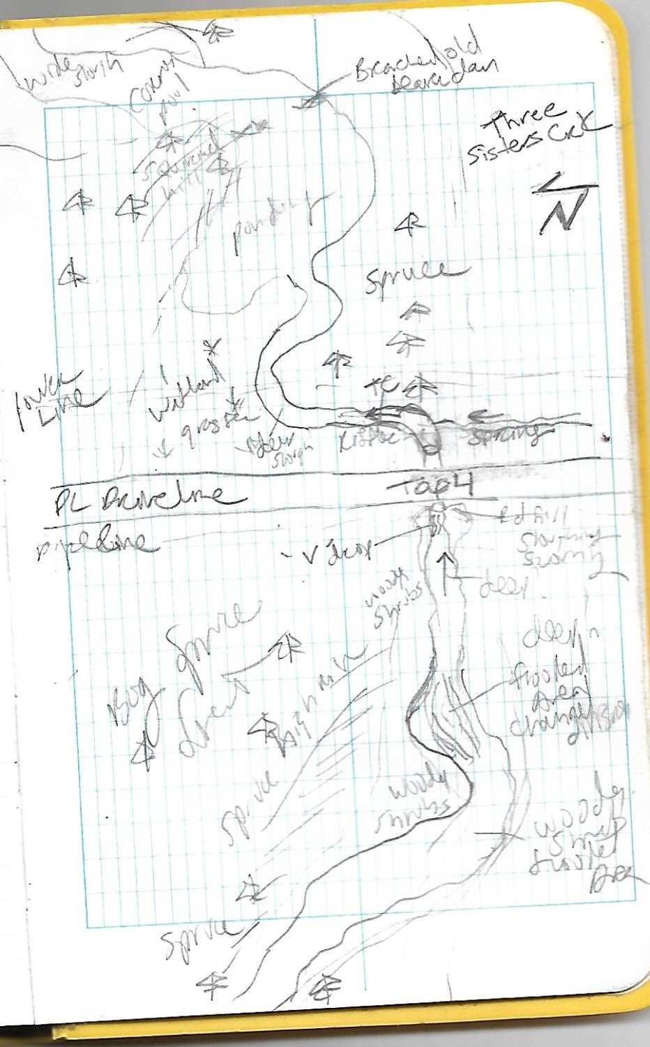
Stream Name: 3 Sisters
Elevation:
Site Comments: PLMP 659.59
Survey UPD21-TAP4
Project Supervisor: Kim Clark, ADFG
— Anchorage, AK
Observers: Andrew Kastning, Nicole Farnham
Overall Fish Passage Rating:
Tidal: No
Backwatered: No
Step Pools: No
Construction Year:
Site Observations:
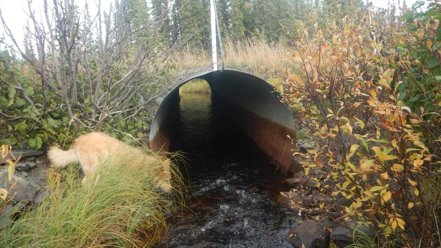
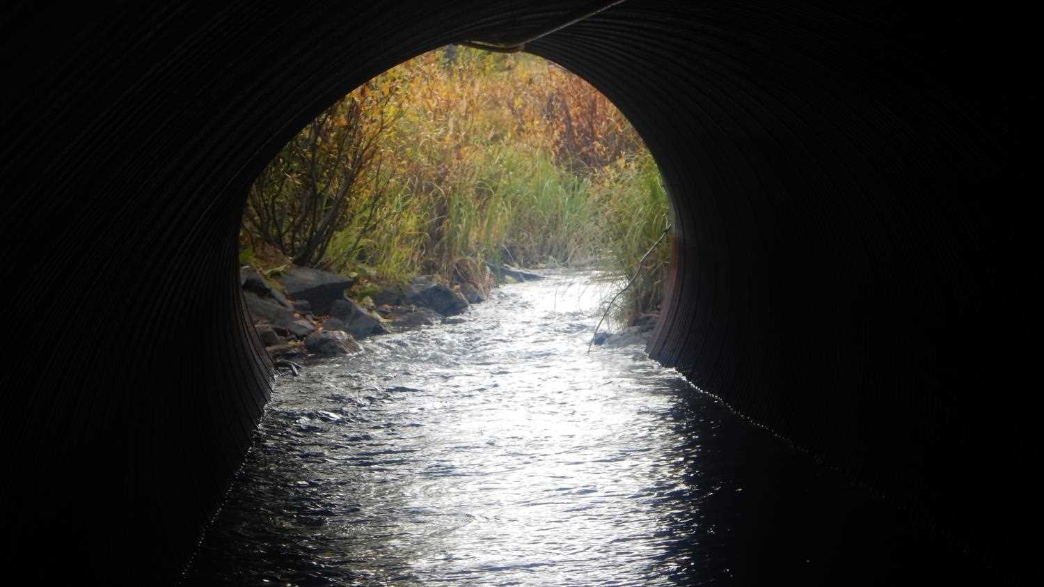
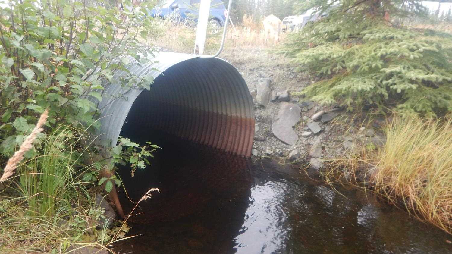
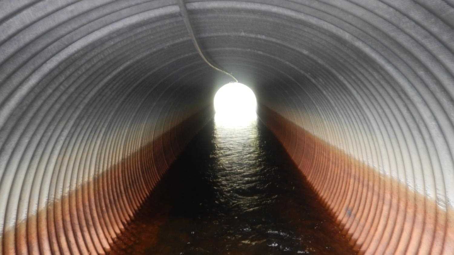
- Culvert gradient gray
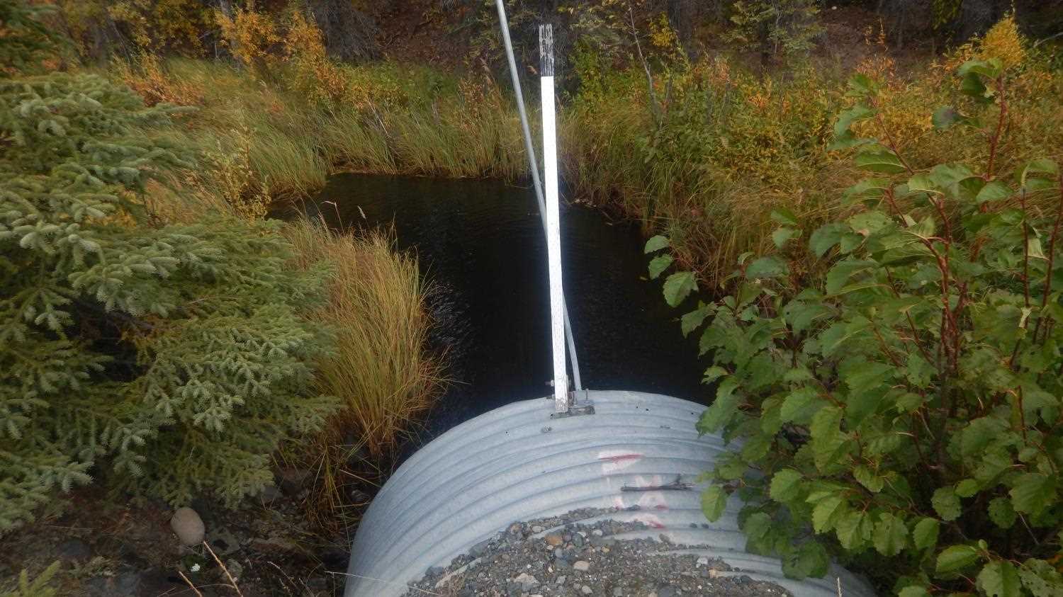
- Inlet perch
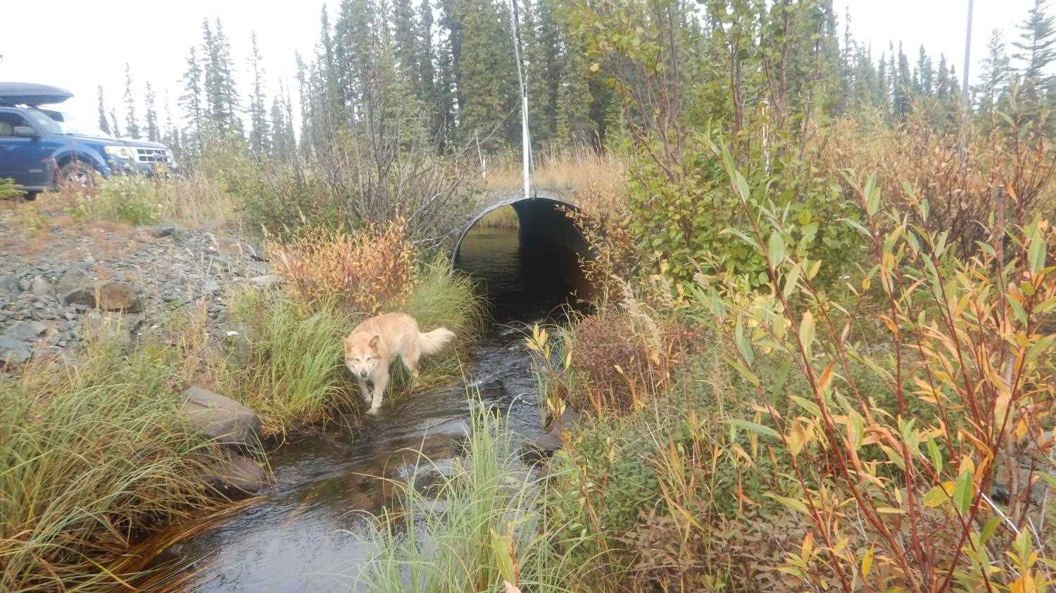
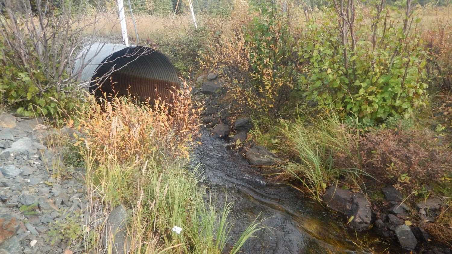
Comments: Poorly aligned with downstream channel. Slightly over steepened inlet. Submitted by Kirsti Jurica with CRWP.
Culvert Measurements
| ID: 1 | Structure Type: Circular pipe (Corrugated steel) | Fish Passage Rating: | |||||||||||||||||||||||||||||||||||||||||
|
|
|
|||||||||||||||||||||||||||||||||||||||||
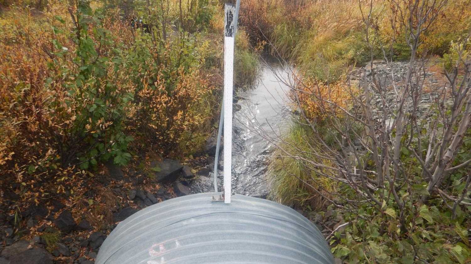
Comments: Pipe gradient measured using the top of culvert. |
|||||||||||||||||||||||||||||||||||||||||||
Culvert Observations:
|
|||||||||||||||||||||||||||||||||||||||||||
Stream Measurements
|
|
| Stream Width Type | Distance From Crossing (ft) |
Stream Width (ft) |
|---|---|---|
| Downstream ordinary high water | 8.74 | |
| Upstream ordinary high water | 6.20 | |
| Upstream ordinary high water | 5.10 | |
| Upstream ordinary high water | 6.80 |
Elevations
| Locator ID | Culvert Number |
River Distance (ft)1 |
Distance From Crossing (ft)2 |
Relative Elevation (ft) |
|---|---|---|---|---|
| Road Elev | 100.02 | |||
| U/S Thalweg | 0.00 | 93.74 | ||
| U/S Water Surface Elev | 0.00 | 95.84 | ||
| U/S Water Surface Elev | 23.00 | 95.68 | ||
| U/S Grade Ctrl (Thalweg) | 23.00 | 95.04 | ||
| Inlet Culvert Invert | 40.00 | 94.37 | ||
| Inlet Culvert Top | 40.00 | 99.85 | ||
| U/S Water Surface Elev | 40.00 | 95.39 | ||
| Outlet Invert | 88.00 | 93.57 | ||
| D/S Water Surface Elev | 88.00 | 95.31 | ||
| Outlet Culvert Top | 88.00 | 99.49 | ||
| D/S Water Surface Elev | 104.00 | 95.31 | ||
| Max Pool Depth | 104.00 | 92.48 | ||
| D/S Water Surface Elev | 113.00 | 95.22 | ||
| D/S Tailcrest or 1st Thalweg | 113.00 | 94.65 | ||
| D/S Water Surface Elev | 188.00 | 94.76 | ||
| D/S Thalweg (smooth glide) | 188.00 | 92.14 |
Notes:
- River distance is measured continuously throughout the survey reach along the thalweg of the stream.
- Measured from each end of the crossing along the thalweg of the stream.
Fish Sampling Efforts
No fish sampling occurred during this survey.
Fish Observations
No fish observations occurred during this survey.
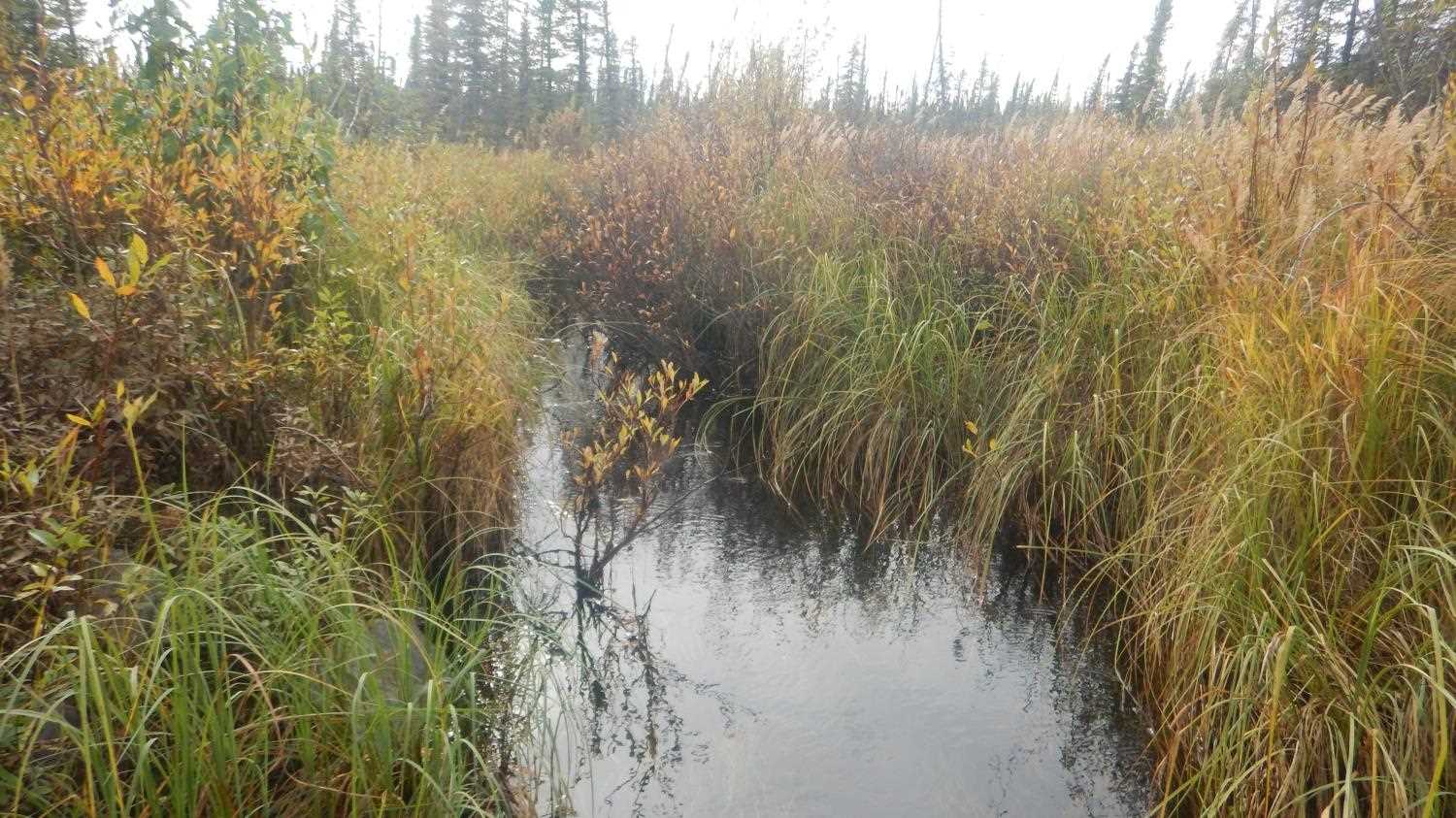
Photos
Questions or comments about this report can be directed to dfg.dsf.webmaster@alaska.gov