Fish Passage Site 20103953
Coordinates (dec. deg.): 62.16450°, -145.48101°
Legal Description: C005N001W31
Region: South Central
Road Name: Pipeline Access Road
Datum:
Quad Name / ITM: Gulkana A-3
AWC Stream #:
Stream Name: Dry Creek
Elevation:
Site Comments: None
Survey UPD21-TAP2
Project Supervisor: Kim Clark, ADFG
— Anchorage, AK
Observers: Andrew Kastning, Nicole Farnham
Overall Fish Passage Rating:
Tidal:
Backwatered:
Step Pools:
Construction Year:
Comments: Photos and location submitted by CRWP.
Culvert Measurements
| ID: 1 | Structure Type:N/A | Fish Passage Rating: | |||||||||||||||||||||||||||||||||||||||||
|
|
|
|||||||||||||||||||||||||||||||||||||||||
Stream Measurements
|
|
No stream width data available.
Elevations
No elevation data available.
Fish Sampling Efforts
No fish sampling occurred during this survey.
Fish Observations
No fish observations occurred during this survey.
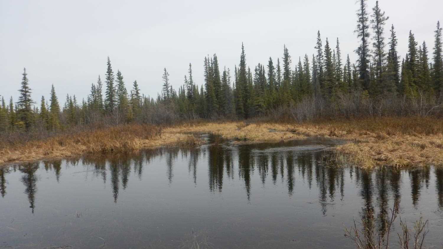
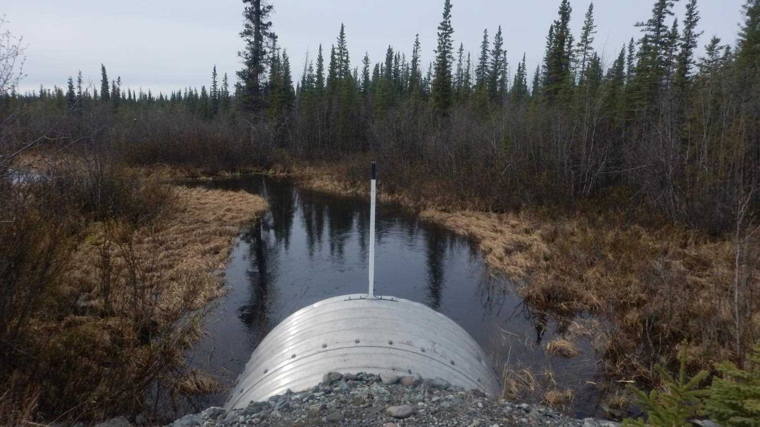
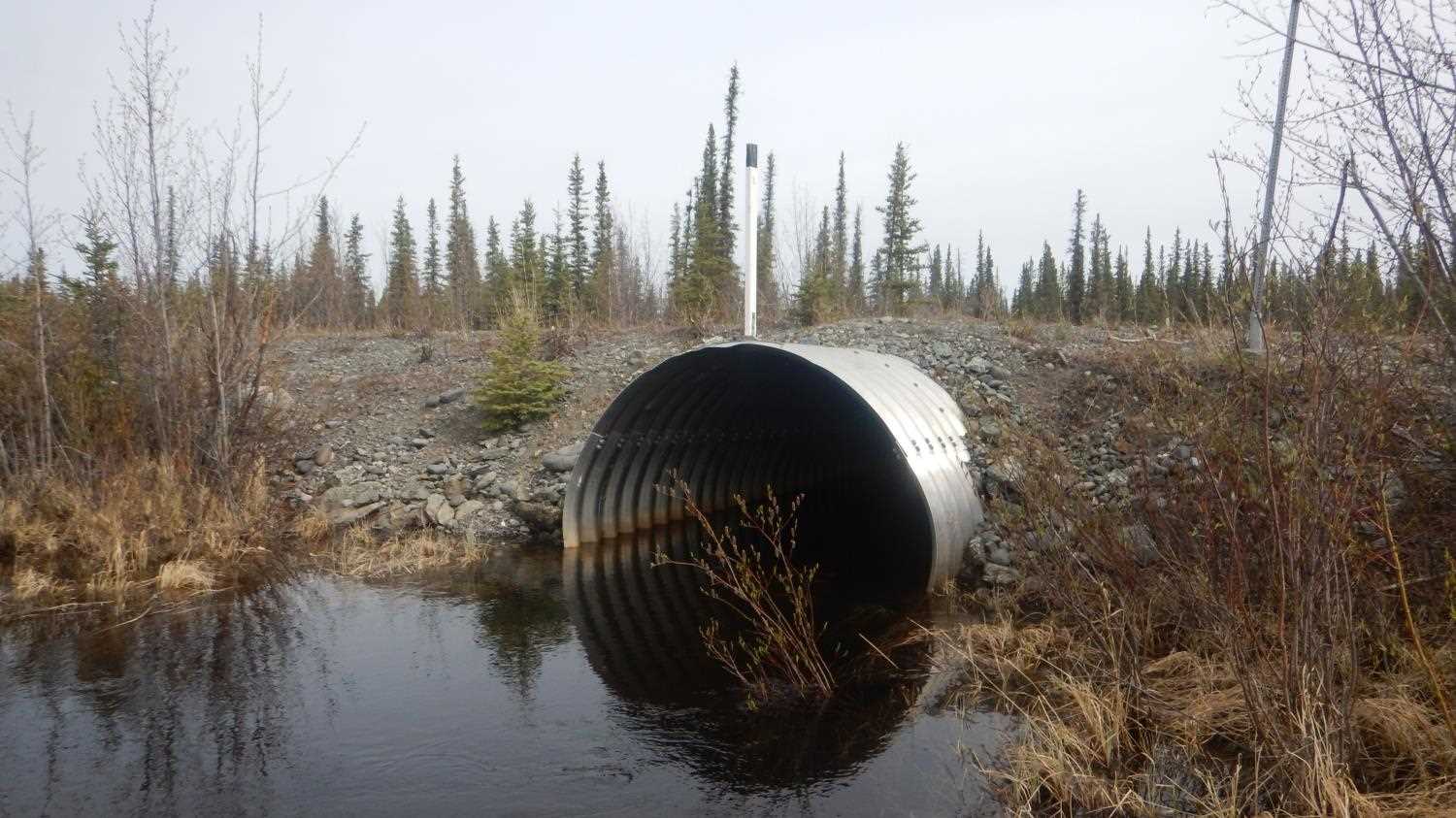
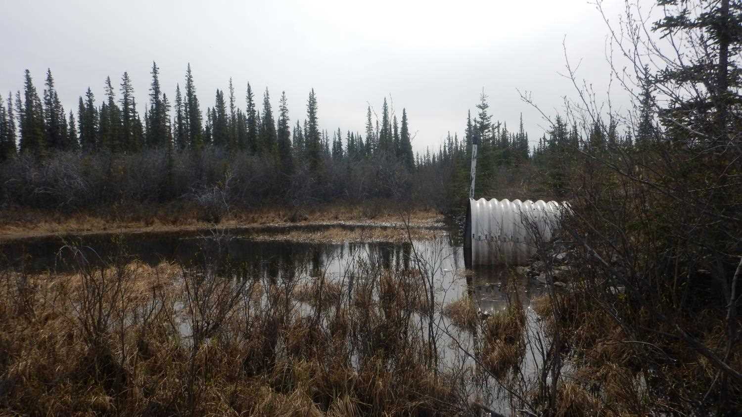
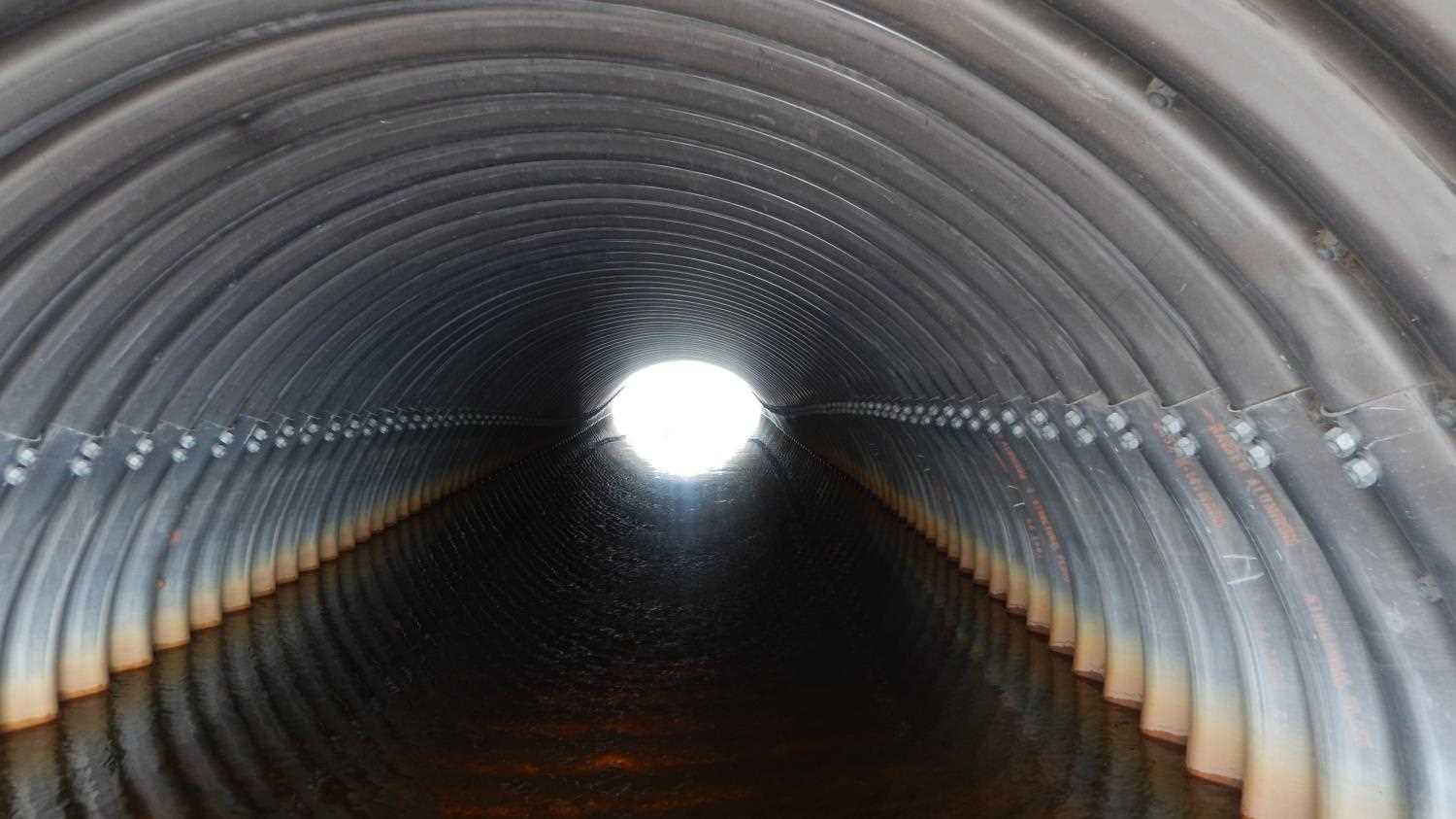
Photos


Questions or comments about this report can be directed to dfg.dsf.webmaster@alaska.gov