Fish Passage Site 20100510
Coordinates (dec. deg.): 60.44300°, -145.12830°
Legal Description: C016S001E36
Region: South Central
Road Name: Copper River Highway
Datum: NAD83
Quad Name / ITM: Cordova B-4
AWC Stream #: 212-20-10110
Stream Name:
Elevation:
Site Comments: None
arrow to the right of the survey date below to choose a different report for this site.
Survey UPD21-COP44
Project Supervisor: Kim Clark, ADFG
— Anchorage, AK
Observers: Andrew Kastning
Overall Fish Passage Rating:
Tidal:
Backwatered:
Step Pools:
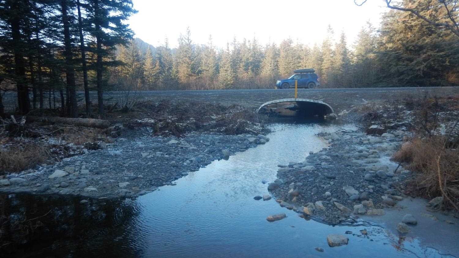
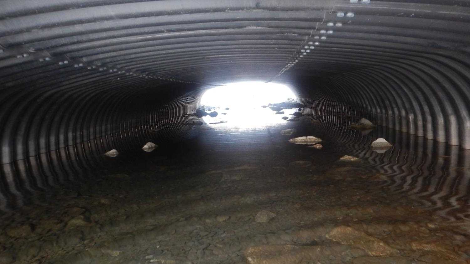
Construction Year: 2020
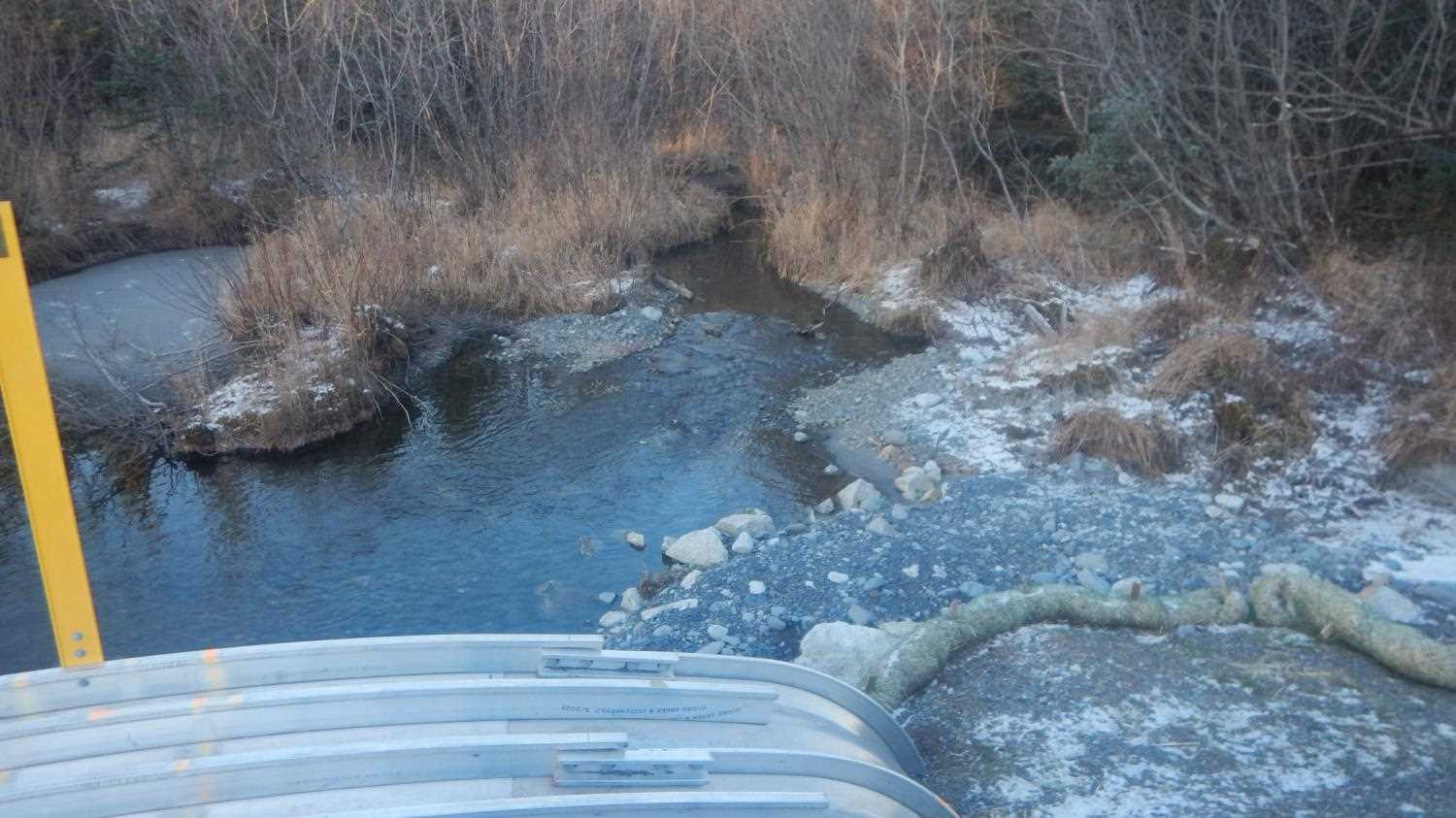
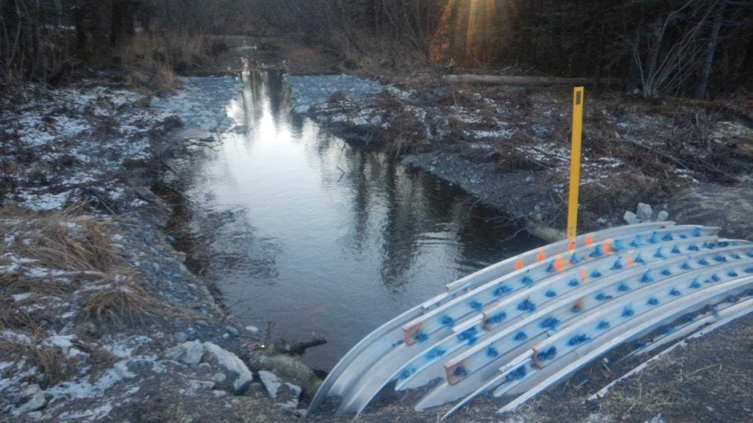
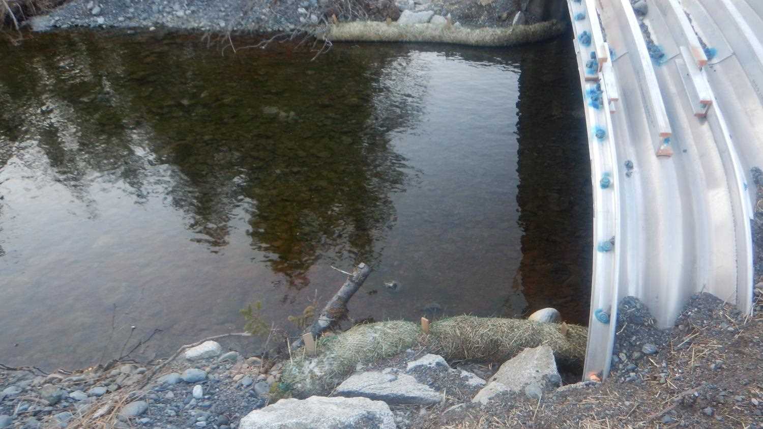
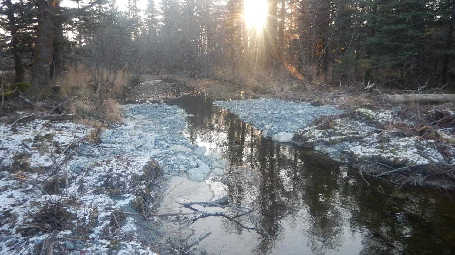
Comments: Site was replaced. Resurvey scheduled for 2021. Submitted by Copper River Watershed Project.
Culvert Measurements
No measurement data available.
Stream Measurements
|
|
No stream width data available.
Elevations
No elevation data available.
Fish Sampling Efforts
No fish sampling occurred during this survey.
Fish Observations
No fish observations occurred during this survey.
Photos
Questions or comments about this report can be directed to dfg.dsf.webmaster@alaska.gov