Fish Passage Site 10302881
Coordinates (dec. deg.): 59.25763°, -135.55345°
Legal Description: C030S059E19
Region: Southeast
Road Name: Haines Highway
Datum: NAD83
Quad Name / ITM: Skagway B-2
AWC Stream #:
Stream Name: Chilkat River tributary
Elevation:
Site Comments: None
arrow to the right of the survey date below to choose a different report for this site.
Survey UPD21-HHY01
Project Supervisor: Kim Clark, ADFG
— Anchorage, AK
Observers: Dylan Krull
Overall Fish Passage Rating:
Tidal:
Backwatered:
Step Pools:
Construction Year: 2019
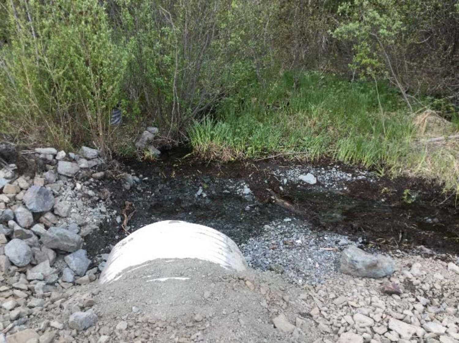
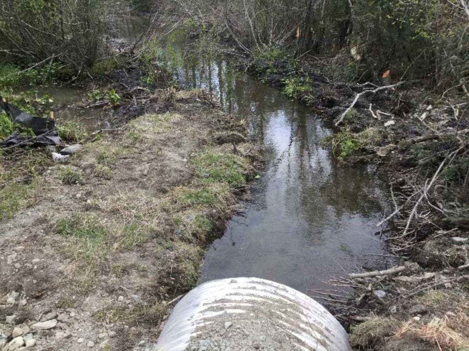
Comments: Dylan Krull ADFG submitted information. Relocated 350ft of channel downstream of the highway during this replacement.
Culvert Measurements
| ID: 1 | Structure Type:N/A | Fish Passage Rating: | |||||||||||||||||||||||||||||||||||||||||
|
|
|
|||||||||||||||||||||||||||||||||||||||||
Comments: Culvert replaced with an 87 foot long, 60" corrugated aluminum culvert. Culvert slope is 0.29% |
|||||||||||||||||||||||||||||||||||||||||||
Stream Measurements
|
|
No stream width data available.
Elevations
No elevation data available.
Fish Sampling Efforts
No fish sampling occurred during this survey.
Fish Observations
No fish observations occurred during this survey.
Photos


Questions or comments about this report can be directed to dfg.dsf.webmaster@alaska.gov