Location
- Latitude: 64.166783
- Longitude: -145.665044
- USGS Map: BIG DELTA A-4
- Elevation (m): 314
- MTRS: F009S011E06
- Management Area: Delta (Upper Tanana River Drainage)
- Sub Area: Richardson Hwy
- Drainage: Tanana River
Access
- Latitude: 64.166783
- Longitude: -145.665044
- Directions: Mile 271.8 Richardson Hwy, turn north on Tanana Loop Rd and travel 1.3 miles, turn right at junction and travel 2.3 miles to ATV trailhead, take trail north 4 miles to lake.
- Improvements:
- trail
Lake Characteristics
- Surface Area (ha): 15.5
- Bathymetric Map: BluffCabin.jpg
- BLUFFCABINLAKE.gif
- Bluff Cabin Lake Bath Map Old.PDF
- Lake Category: Landlocked
- Maximum Depth (m): 5.7
- Most Recent Survey Date: 8/19/2010
Photos
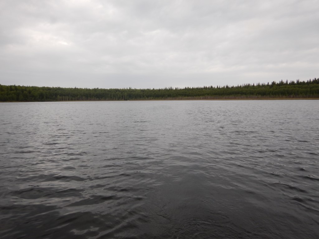
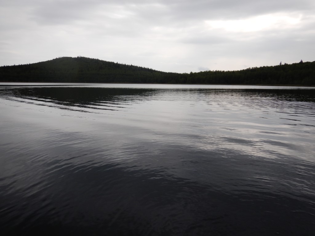
.JPG)
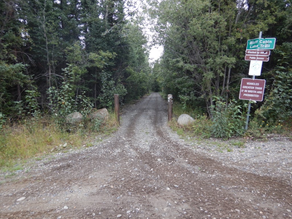
.JPG)