Location
- Latitude: 64.315951
- Longitude: -146.663022
- USGS Map: BIG DELTA B-6
- Elevation (m): 251
- MTRS: F007S005E12
- Management Area: Fairbanks (Lower Tanana River Drainage)
- Sub Area: Richardson Hwy
- Drainage: Tanana River
Access
This lake has multiple access points.
- Latitude: 64.304603
- Longitude: -146.665702
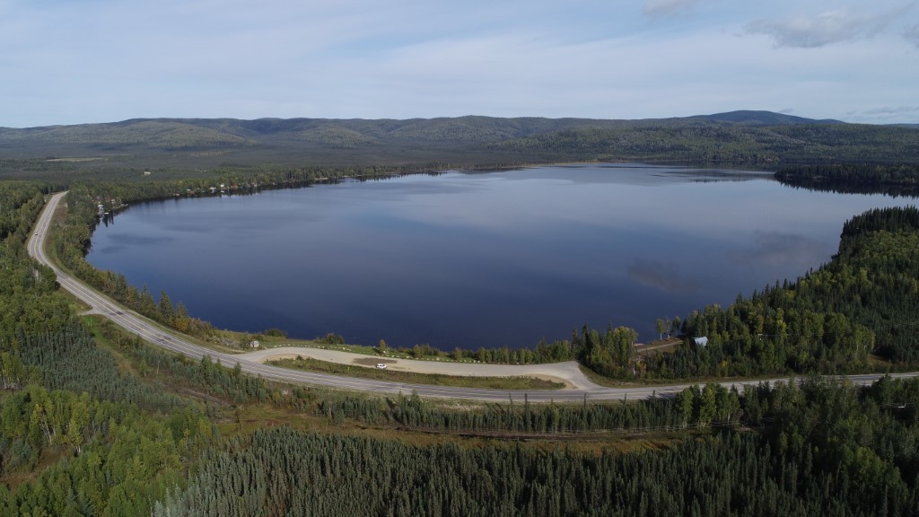
- Directions: Mile 306 Richardson Hwy, public rest area with lake located north of highway.
- Improvements:
- parking
- outhouse
- Notes: For ice house rental information contact DNR Division of Parks & Outdoor Recreation at 451-2695.
- Status: State Owned Property
- Latitude: 64.315223
- Longitude: -146.646181
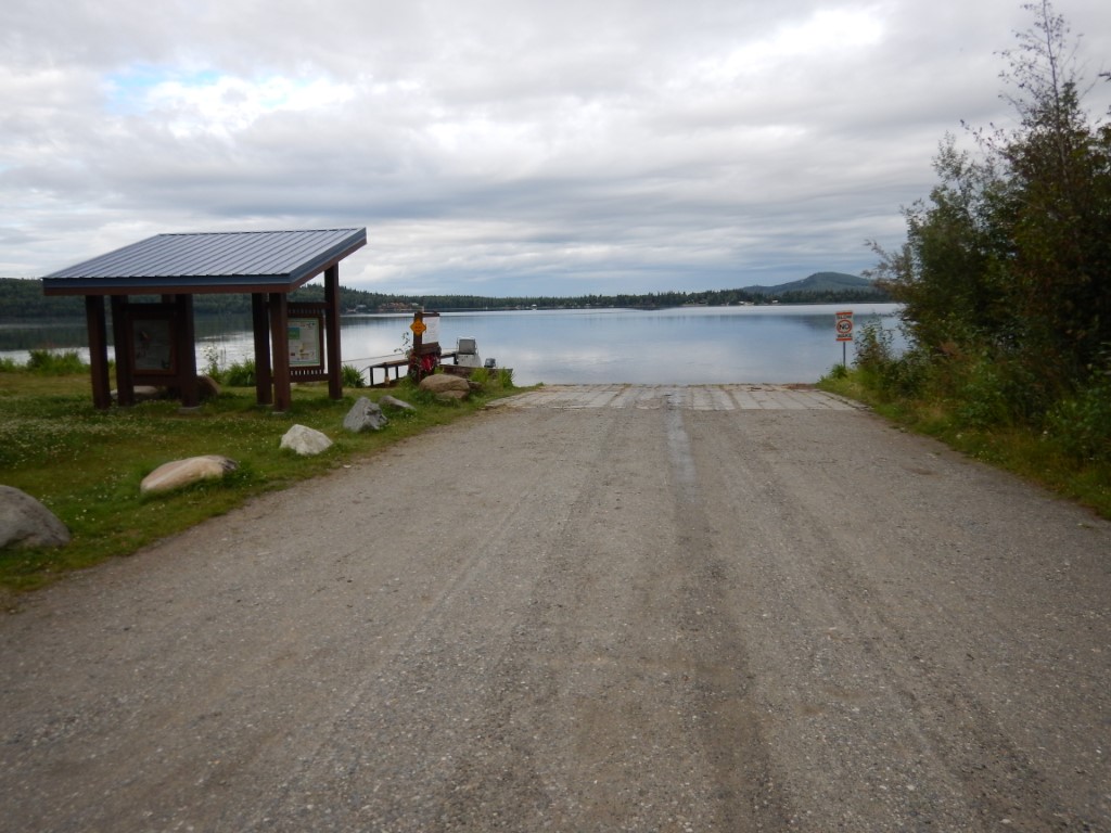
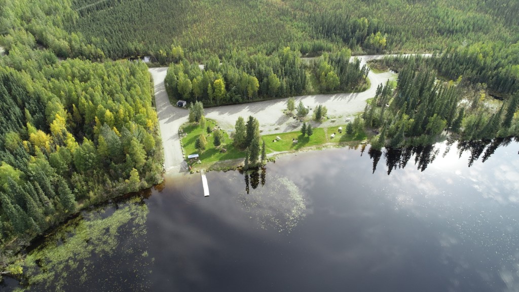
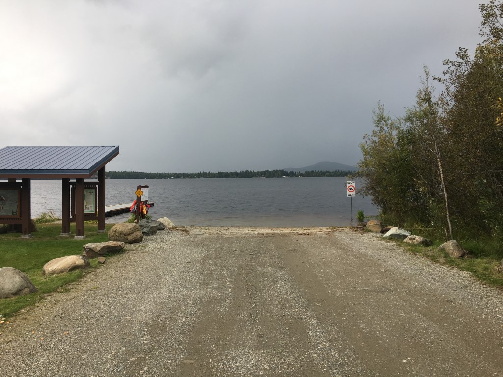
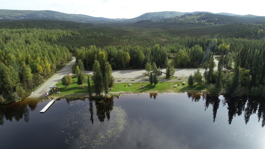
- Directions: At mile 305.5, turn north onto Birch Lake Rd and travel 0.3 miles to Birch Lake State Recreation Site on left (west).
- Improvements:
- parking
- outhouse
- camping
- boat launch
- picnic area
- public use cabin
- trash receptacle
- handicap accessible
- Notes: For ice house rental information contact DNR Division of Parks & Outdoor Recreation at 451-2695.
- Status: State Rec. Site
Lake Characteristics
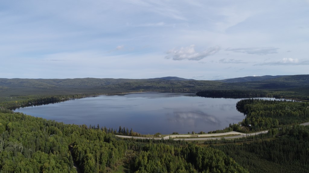
- Surface Area (ha): 340.3
- Bathymetric Map: Birch.jpg
- BIRCHLAKE.gif
- Birch_Lake.pdf
- Birch_Lake.kmz
- Lake Category: Weired or Barriered
- Maximum Depth (m): 14.8
- Most Recent Survey Date: 9/21/2007
Photos
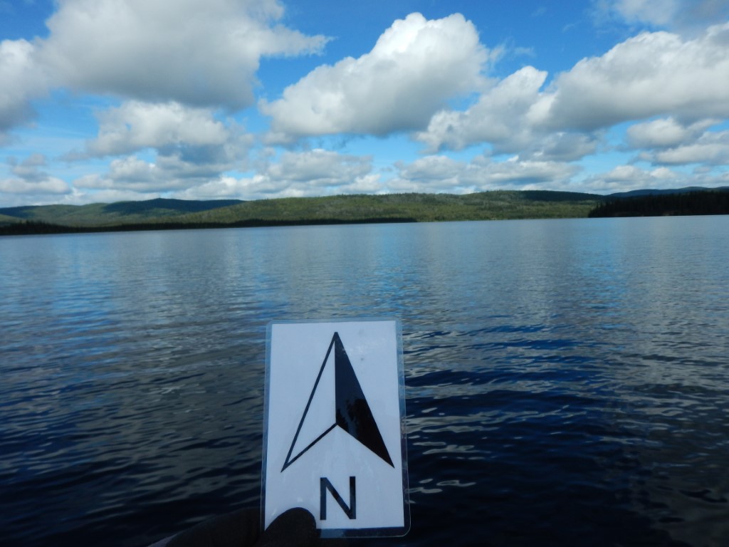
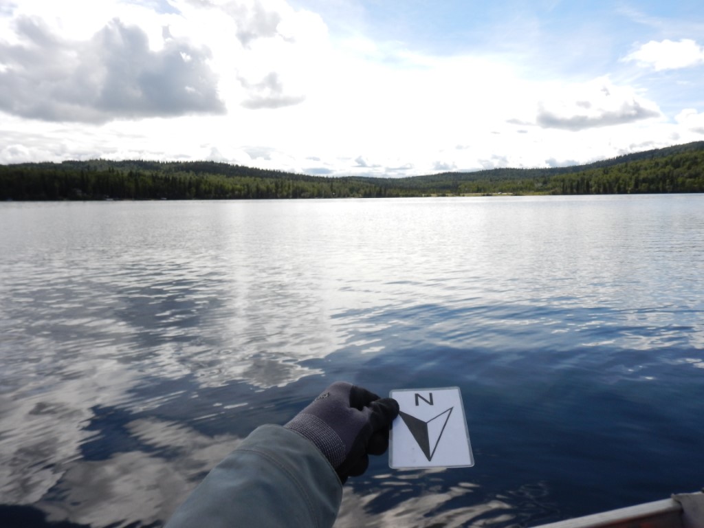
_Birch 7-3-07 looking SWb.JPG)
_Birch 7-3-07 looking W from inlet1.JPG)
_Birch 7-3-07 looking N from outlet.JPG)
.JPG)
Download Linked Documents
- Birch Lake Survey-Unknown Date.PDF
- Birch Lake Survey Form 1960.PDF
- Birch Lake Fish Stocking [Various Years].PDF
- Birch Lake Fish Stocking [Year Totals].pdf
- Birch Lake Analysis.PDF
- BirchLSampling1990-91.PDF
- BirchLStockingSurvival1971-90.PDF
- BirchLHatchery1960.PDF
- Birch Lake Seine Data Part 2 1979.pdf
- Birch Lake Creel Data 1979.pdf
- Birch Lake Fyke Data Aug-Sept 1979.pdf
- Birch Lake Fyke Data 1979.pdf
- Birch Lake Seine Data Part 1 1979.pdf
- Birch Lake Fyke Data Aug-Sept 1979 cont..pdf