Location
- Latitude: 64.133798
- Longitude: -145.825251
- USGS Map: BIG DELTA A-4
- Elevation (m): 312
- MTRS: F009S010E17
- Management Area: Delta (Upper Tanana River Drainage)
- Sub Area: Richardson Hwy
- Drainage: Tanana River
Access
- Latitude: 64.137
- Longitude: -145.827865
- Directions: Mile 274.9 Richardson Hwy, just south of the Tanana River Bridge, turn west onto Spengler Rd, go 1.5 miles, pond is located on east side of road.
- Improvements:
- road
Lake Characteristics
- Surface Area (ha): 4
- Bathymetric Map: BigD.jpg
- Lake Category: Flood Prone
- Maximum Depth (m): 5.9
- Most Recent Survey Date: 8/24/2005
Photos
_Big D E shore 5-2014.jpg)
_Big D N shore 5-2014.jpg)
_Big D W shore 5-2014.jpg)
_Big D panoramic 6-2014.jpg)
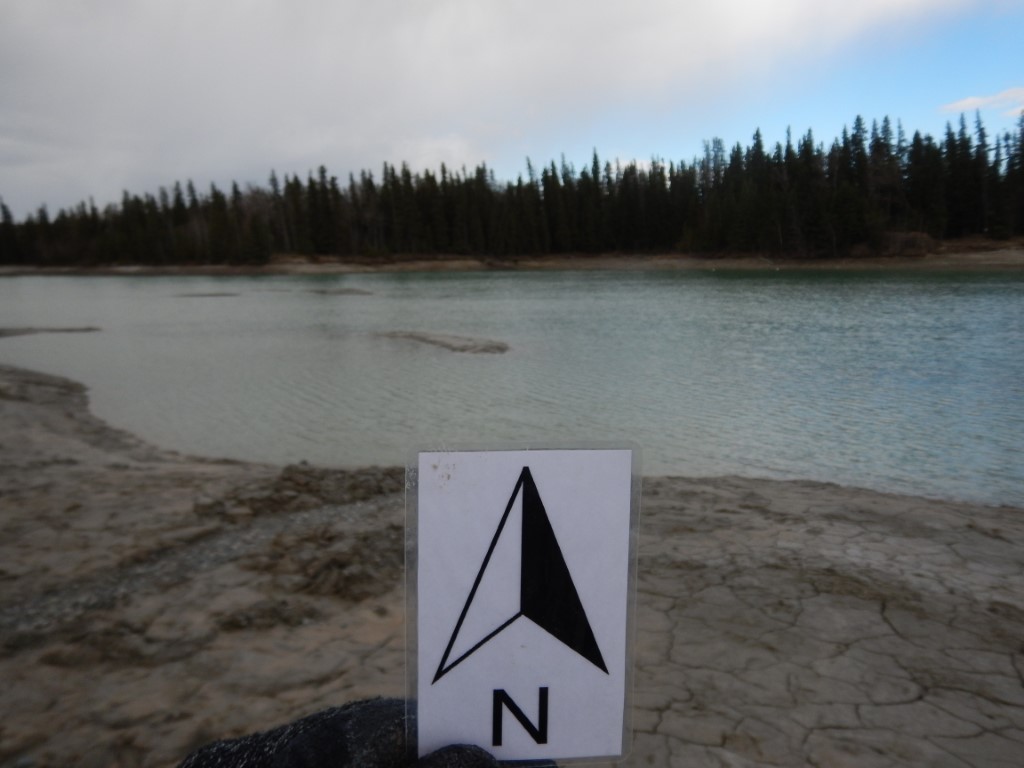
.JPG)