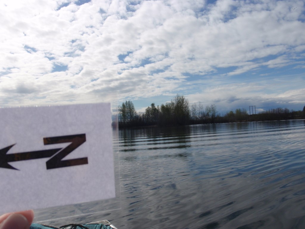
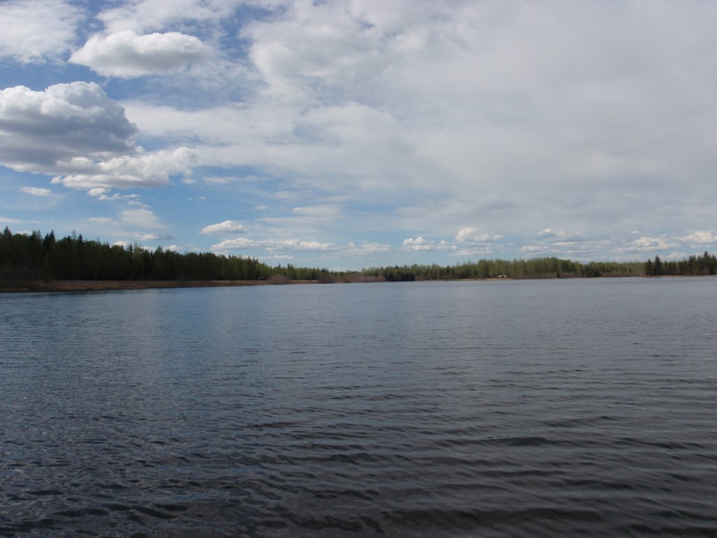
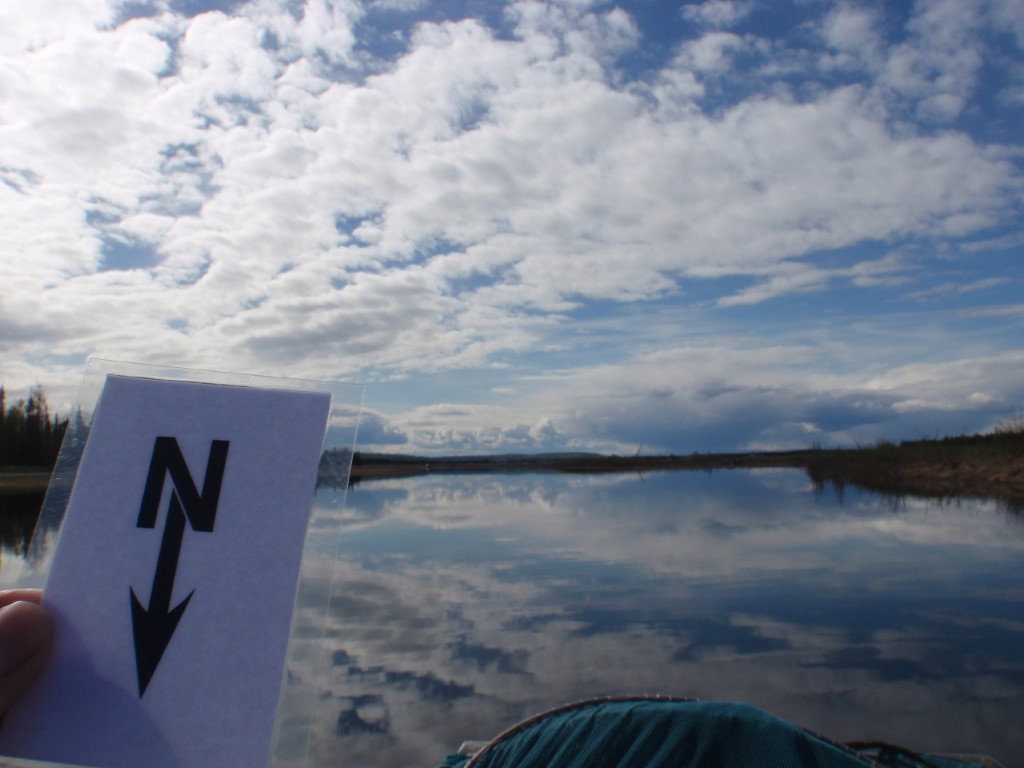
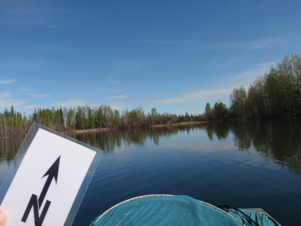
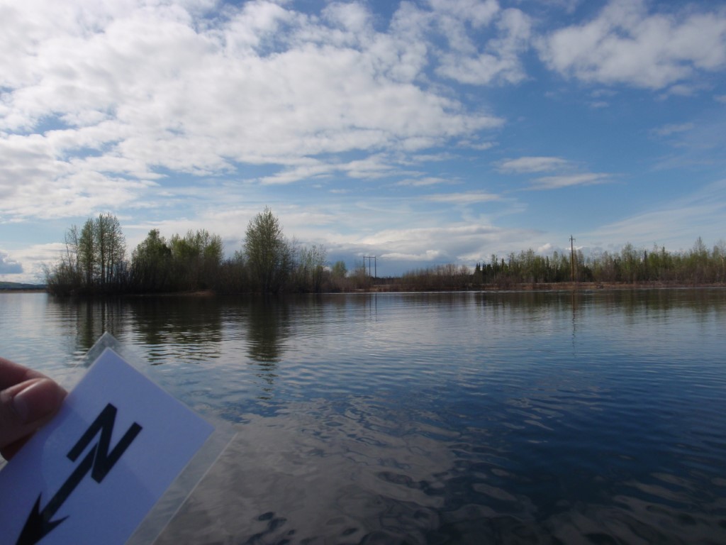
Location
- Latitude: 64.700649
- Longitude: -147.115163
- USGS Map: FAIRBANKS C-1
- Elevation (m): 160
- MTRS: F002S003E34
- Management Area: Fairbanks (Lower Tanana River Drainage)
- Sub Area: Eielson AFB
- Drainage: Piledriver Slough
Access
- Latitude: 64.700649
- Longitude: -147.115163
- Directions: 0.3 miles from EAFB main gate, turn left (north) onto Transmitter Rd, travel 1.0 mile and turn right after the railroad tracks onto an unmarked road, travel 0.3 miles to lake on north side of road.
- Improvements:
- road
- parking
- Status: Military Reservation
Lake Characteristics
- Surface Area (ha): 25.9
- Bathymetric Map: Bear.jpg
- BEARLAKE(EAFB).gif
- Lake Category: Landlocked
- Maximum Depth (m): 24.7
- Most Recent Survey Date: 9/9/2003
Photos