Location
- Latitude: 63.714855
- Longitude: -145.823906
- USGS Map: MT HAYES C-4
- Elevation (m): 821
- MTRS: F014S010E09
- Management Area: Delta (Upper Tanana River Drainage)
- Sub Area: Coal Mine Rd
- Drainage: Delta River
Access
- Latitude: 63.714855
- Longitude: -145.823906
- Directions: Mile 242 of Richardson Hwy, turn east onto Coal Mine Rd (gravel road). Mile 1.6 Coal Mine Rd, turn east on ATV trail, travel 0.5 miles to lake (located on right).
- Improvements:
- trail
Lake Characteristics
- Surface Area (ha): 2.1
- Bathymetric Map: Backdown.jpg
- Backdown.jpg
- Lake Category: Landlocked
- Maximum Depth (m): 6
- Most Recent Survey Date: 8/18/2005
Photos
_Backdown 5-2014.jpg)
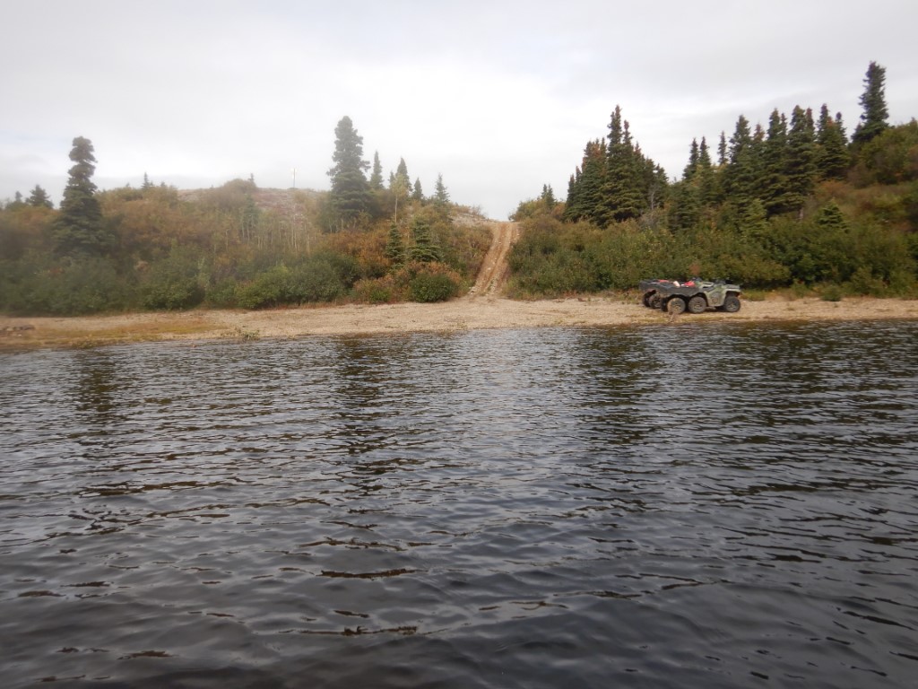
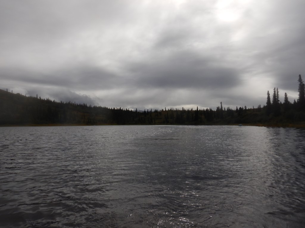
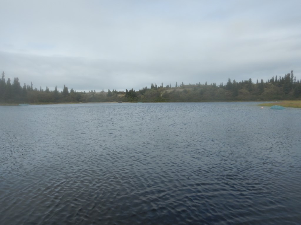
.JPG)
.JPG)