Location
- Latitude: 61.565383
- Longitude: -144.444832
- USGS Map: VALDEZ C-2
- Elevation (m): 230
- MTRS: C003S005E35
- Management Area: Glennallen (Upper Copper-Upper Susitna Drainages)
- Sub Area: Chitina
- Drainage: Copper River
Access
- Latitude: 61.565383
- Longitude: -144.444832
- Directions: Mile 29.7 Edgerton Hwy, paved turnout adjacent to lake.
- Improvements:
- road
- parking
Lake Characteristics
- Surface Area (ha): 6
- Bathymetric Map: 3MileL(Chitina)_2021.jpg
- ThreeMile.jpg
- 3-Mile-Lake-ft-2.jpg
- 3MileL(Chitina)_2021_Color.jpg
- Geo-Referenced Bathymetric Maps:
- 3MileL(Chitina)_2021_Color_GeoPDF.pdf
- Lake Category: Open Outlet
- Maximum Depth (m): 7.9
- Most Recent Survey Date: 5/26/2021
- Most Recent Survey Notes: Depth data collected May 26-27, 2021. Alaska High Resolution Imagery (AHRI) 2020 WMTS was used to determine the lake perimeter.
Photos
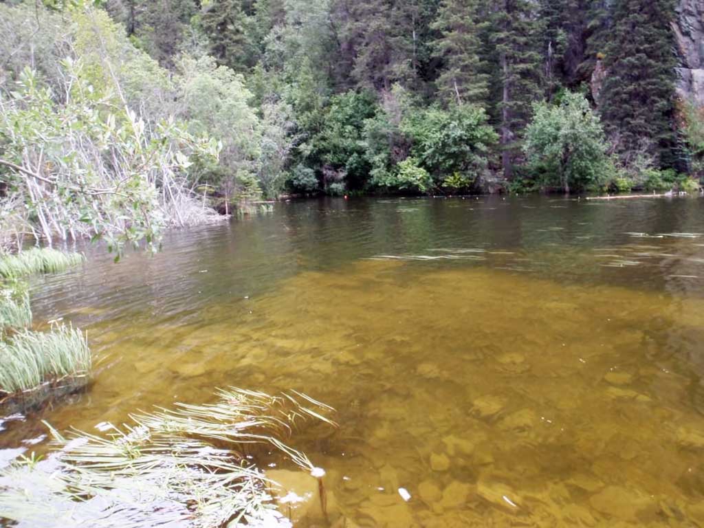
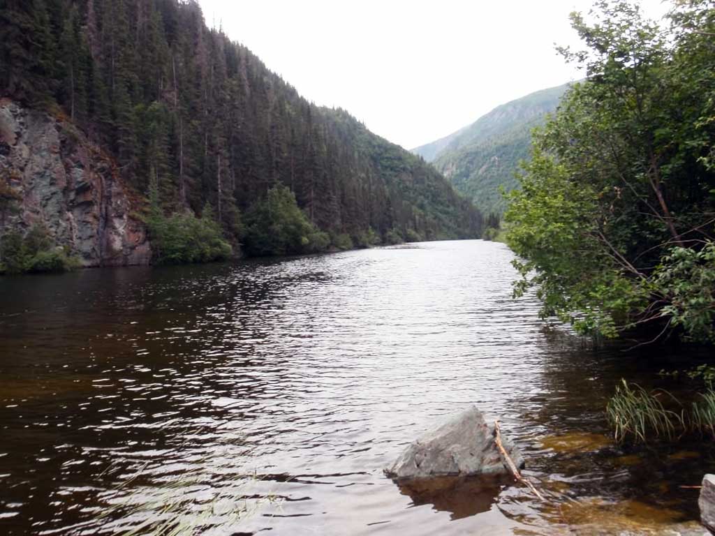
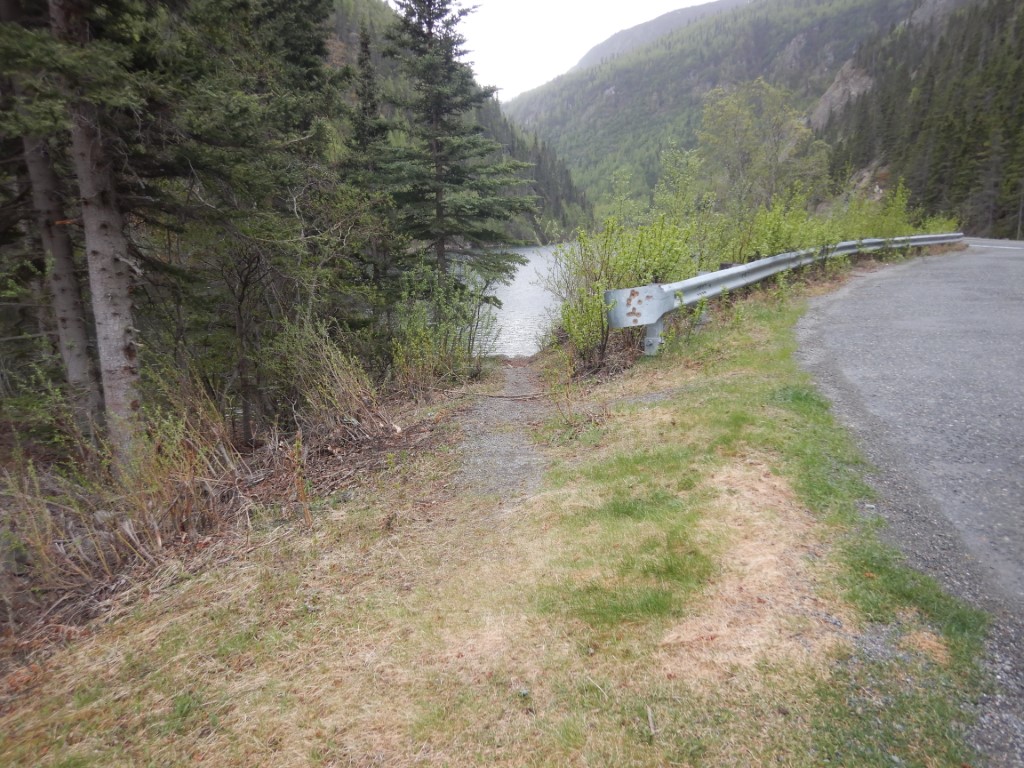
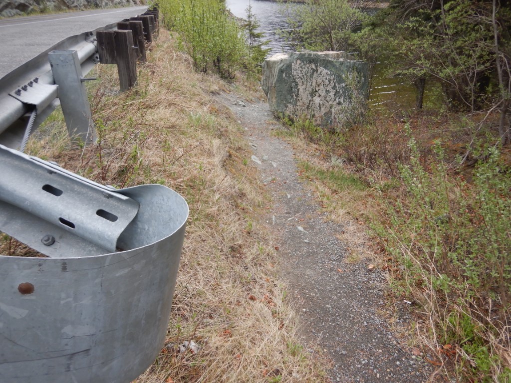
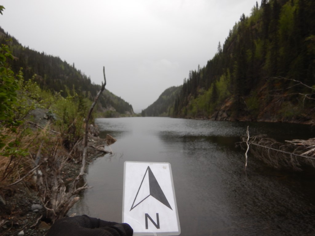
.JPG)
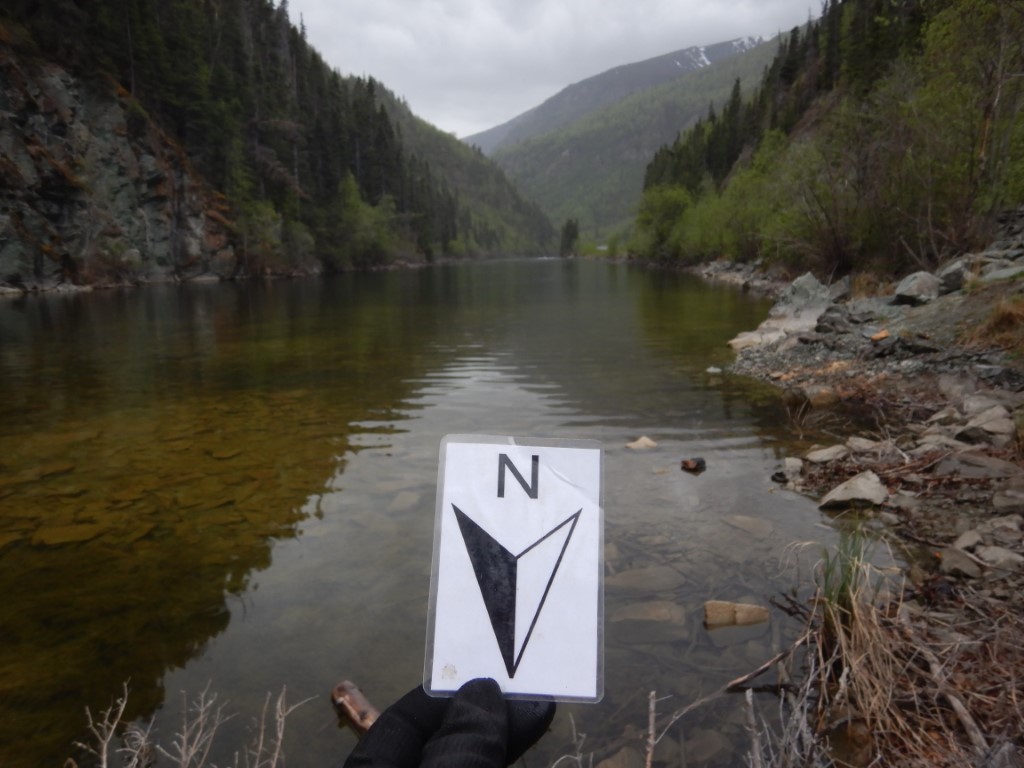
.JPG)