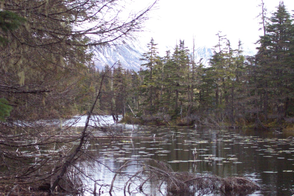
Location
- Latitude: 60.243374
- Longitude: -149.343907
- USGS Map: SEWARD A-7
- Elevation (m): 257
- MTRS: S002N001E19
- Management Area: Res Bay (North Gulf Coast)
Access
- Latitude: 60.242782
- Longitude: -149.346415
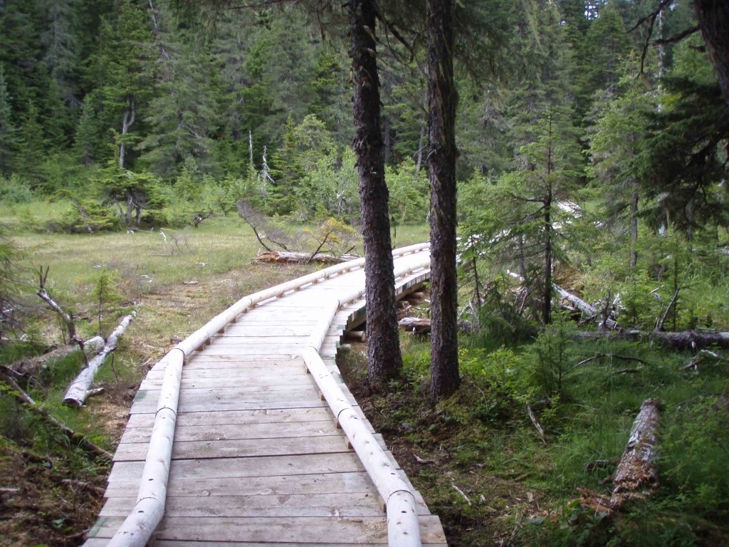
- Directions: Mile 12.1 Seward Hwy. Turnout on east side of highway. Trail begins on the Iditarod Historical Trail. Approx. 1 mile down trail to new Troop Lake cutoff trail marked with sign. Approx. 1/2 mile farther to lake. Old trail at mile 10.9 is closed. NOTE: Leave No Trace. Keep lake and access sites free of litter.
- Notes: New trail is complete and marked with signs. Distance on new trail from Sterling Highway to Troop Lake is approximately 1.5 miles.
- Status: DNR/ILMA
Lake Characteristics
- Surface Area (ha): 10.9
- Bathymetric Map: Troop.gif
- Lake Category: Weired or Barriered
- Maximum Depth (m): 16.2
- Most Recent Survey Notes: Lake category updated 12/26/23 from SSP - T. Cubbage
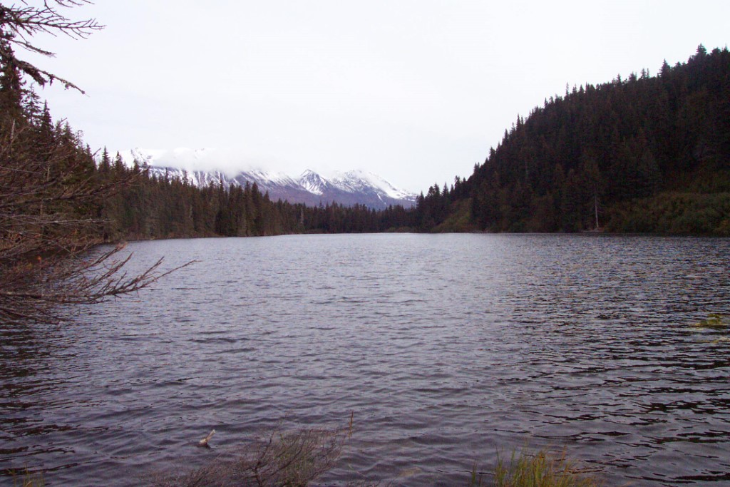
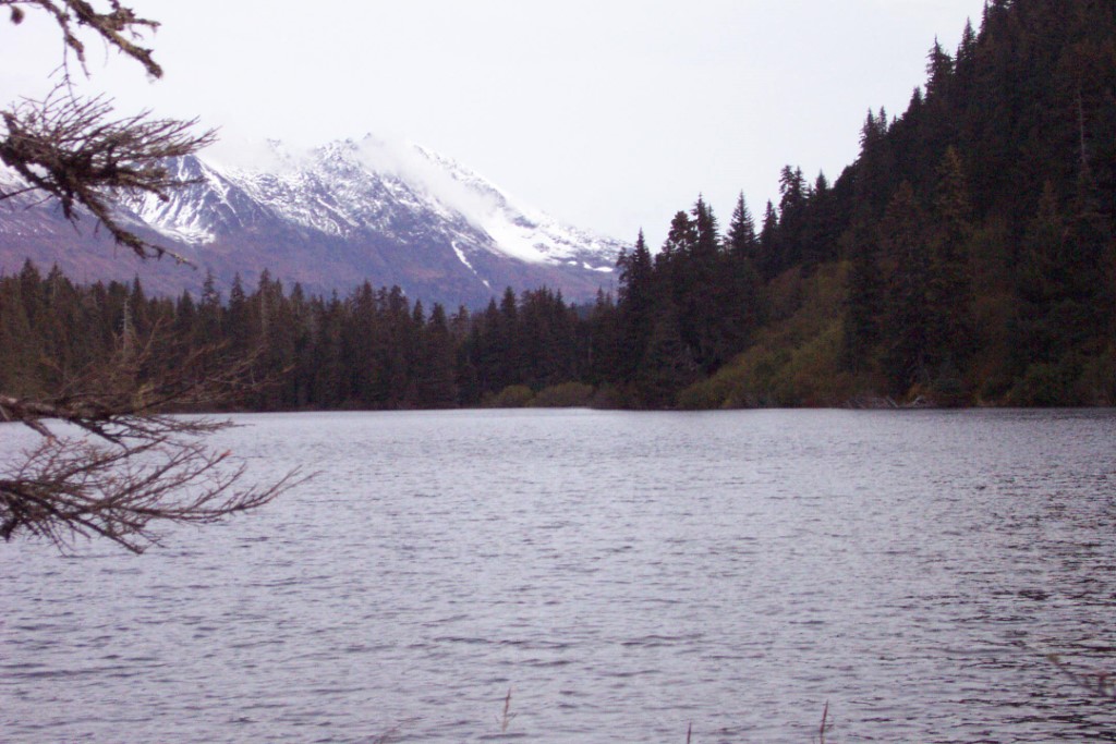
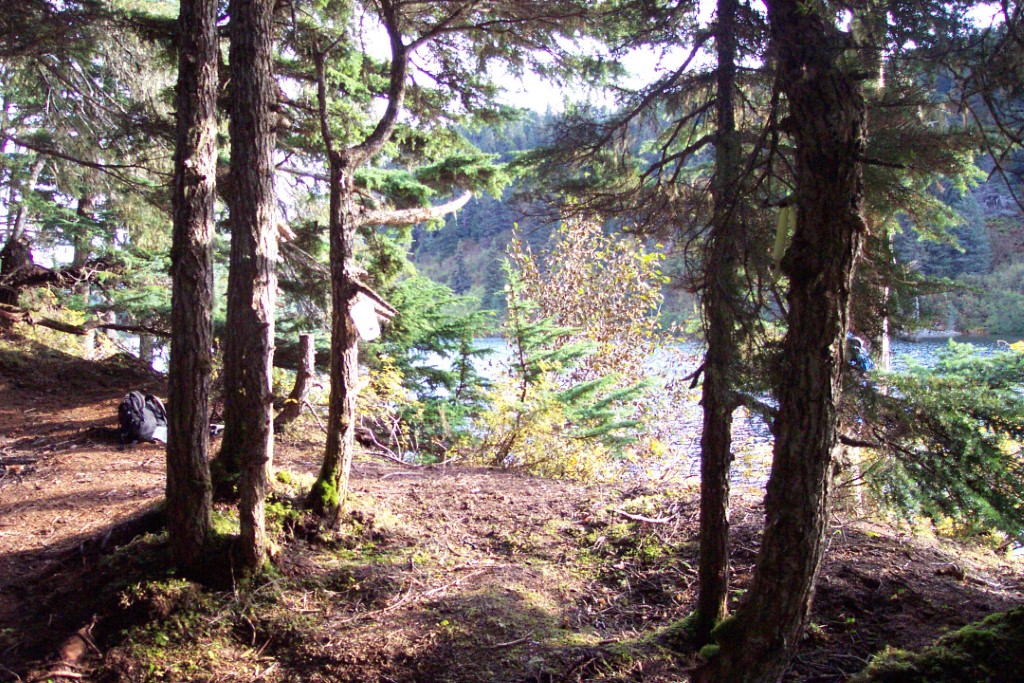
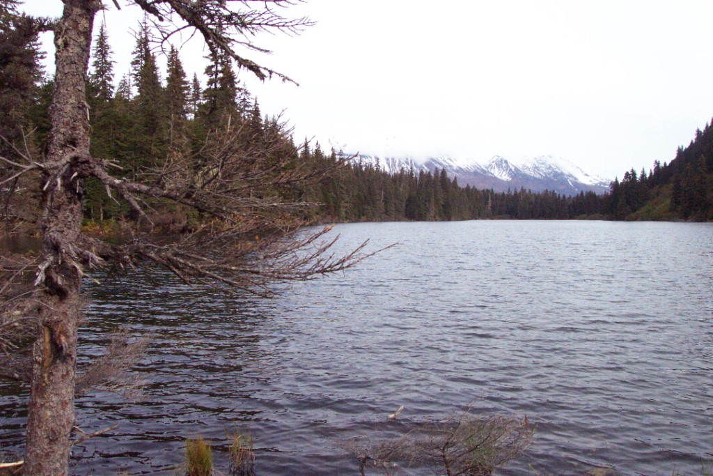
Photos