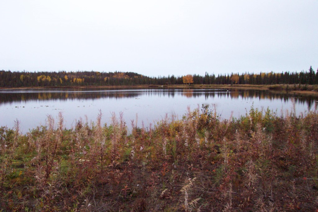
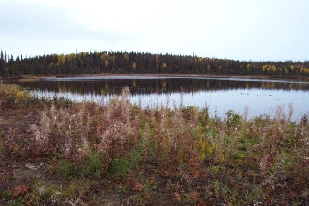
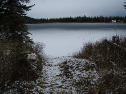
Location
- Latitude: 60.299886
- Longitude: -151.297167
- USGS Map: KENAI B-4
- Elevation (m): 61
- MTRS: S003N012W36
- Management Area: Homer (Lower Kenai Peninsula)
Access
- Latitude: 60.299886
- Longitude: -151.297167
- Directions: Mile 111.4 Sterling Hwy. West on Cohoe Loop Road 0.5 mile to Thalia Road. Left on Thalia Rd. 0.3 mile to Naiad Rd. Left on Naiad Rd. to limited parking at end of improved road. Follow unimproved trail approx. 200 yards through woods, turning right to reach lake. Access is where trail is closest to lake. NOTE: Please respect property. Keep lake and access sites free of litter.
- Status: Fish & Game Easement
Lake Characteristics
- Surface Area (ha): 5.7
- Bathymetric Map: Quintin.gif
- Maximum Depth (m): 7
Photos